|
Big Fisher Creek Peak
Elevation 9820'
Sneaking in a White Cloud hike before winter, treated to some great views!
October 16, 2021
44.0611°N / 114.7197°W
The Fisher Creek drainage is located on the west side of Central Idaho’s White Cloud Mountains. It’s located between Williams Creek and Fourth of July Creek. There is a peak near the headwaters of Fisher Creek that I’m going to call Big Fisher Creek Peak, since it’s the biggest of the obscure peaks in the area. It’s the highpoint of the ridge that separates Fisher Creek from Fourth of July Peak.
I’d driven to the Fisher Creek Trailhead the night before, and hiked a couple peaks on the ridge to the north in the morning. After a PBJ back at the trailhead, I was ready to try “Big Fisher Creek Peak” (9820’). It’s the 63rd highest peak in the White Clouds, and the tallest one I’d yet to climb.
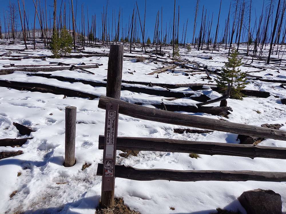
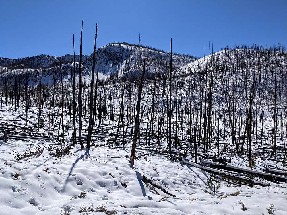
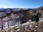
At the trailhead, there were a few inches of snow on the ground, left over from a big storm earlier in the week. I followed hunter’s boot tracks heading east from the trailhead. I did my best to stay above the burned deadfall that clogged to valley near the headwaters of Fisher Creek, but it was unavoidable. After circling around until I was due north of the peak, I crossed the valley and started the uphill hiking in earnest.
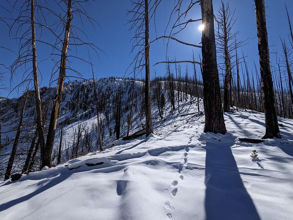
I followed elk and coyote tracks as I made my way up the ridge. Progress was slow in the 10”+ of snow, but the tracks made the going a little easier. Once higher up, there was less snow on the windblown ridge, which made for easier travel.
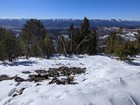
As I reached the summit of the peak, the views were nothing short of spectacular. A fresh coat on snow on Castle Peak and the rest of the rugged peaks made for fantastic scenery. I bundled up to stay warm in the wind, and enjoyed a snack while soaking in the views.
Then I did the math on how long it might take me to get back to my rig. Darkness could be a threat if I didn’t hustle. Hiking in wet snow in the dark did sound fun, so down I went. Fortunately the hike back when much faster, and I made it back to the trailhead without incident.
Round trip was 6 miles and 2000’ of elevation gain in 4.5 hours of hiking. Including my hike earlier in the morning, I had now climbed 75 peak in the White Clouds, including the 68 tallest.
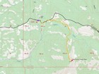
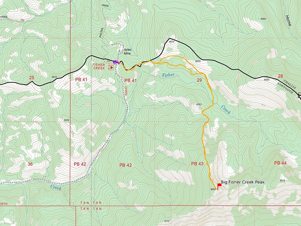
Map of the route, 6 miles and 2000' gain round trip. |
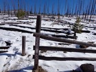
Leaving the trailhead. |
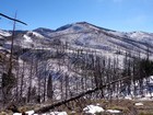
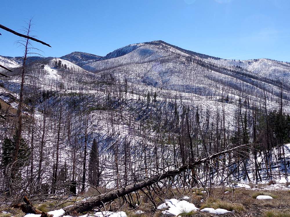
First view of Big Fisher Creek Peak. |
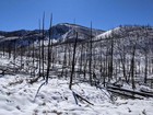
Lots of burned deadfall near headwaters Fisher Creek. |
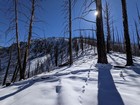
Heading up the ridge. |
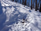
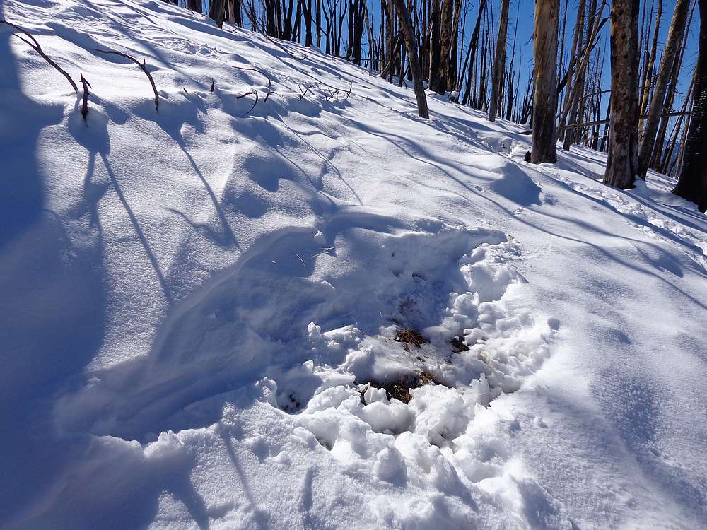
I saw several elk bedding areas in the snow. |
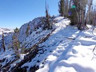
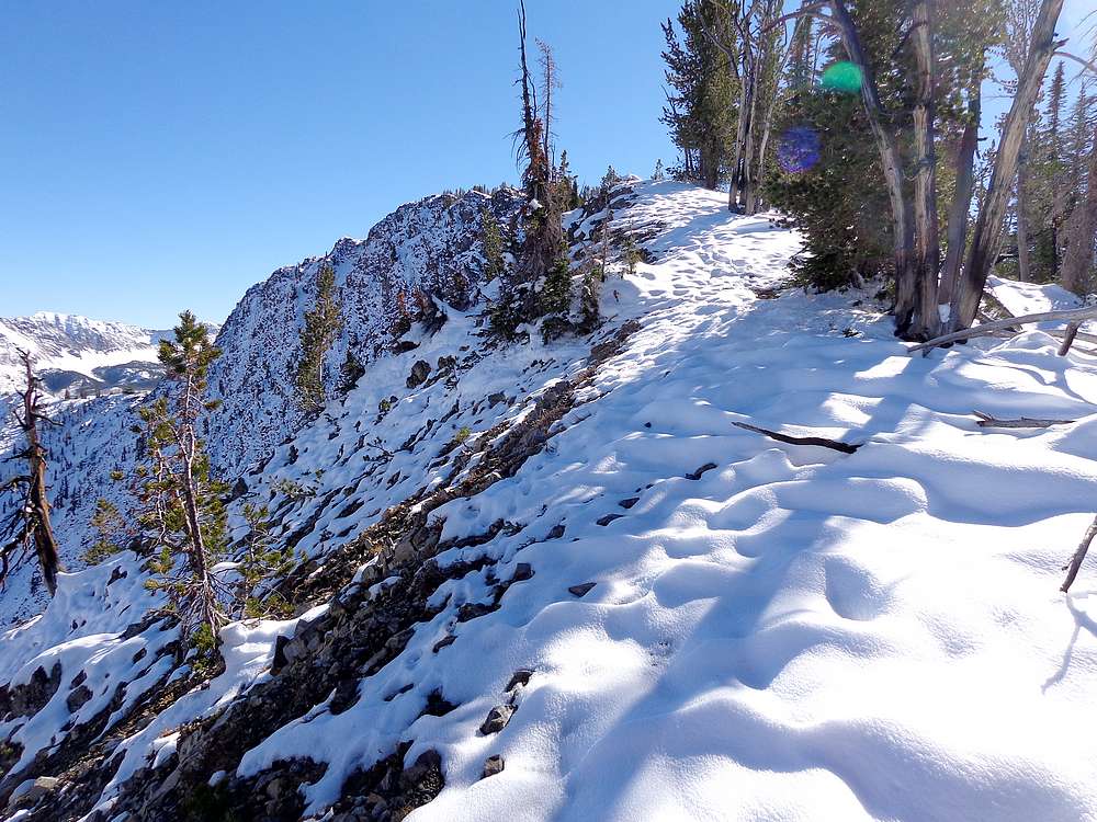
Nearing the summit of Big Fisher Creek Peak. |
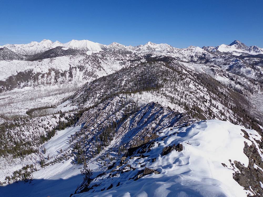
Sawtooths from the summit. |
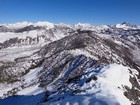
The White Clouds Peaks covered in snow, Castle Peak on the right. |
Another view of the Sawtooths during the hike back. |
|
|
|