|
Porter Peak
A wet hike to the highpoint of Nevada's Bull Run Mountains
August 1, 2021
Porter Peak is the highest peak in the Bull Run Mountains of north central Nevada. For an obscure area, this peak sees its share of visitors, particularly folks climbing prominence peaks. Turns out Porter has over 2600’ of prominence, making it one of the top 100 most prominent peaks in Nevada. Primary access is via a 4WD road that climbs White Rock Creek from the west.
I was headed to the Ruby Mountains for some climbing the next day, and was looking for something fairly easy to do as a short outing along the way from Boise. After scanning the maps, Porter seemed to fit the bill. Thanks to good driving directions from various internet sources, I was able to get up the rugged 4WD road without incident, and parked at the saddle just south of Blue Jacket Peak.
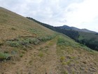
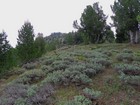
The forecast called for rain, but I figured it was a short hike, and worse case I could just duck under some trees if clouds rolled in. So off I went up the old road from the saddle. The road was easy hiking, and I made good time until heading uphill just north of the peak. Next, I followed traces of an old trail up the slopes to a saddle, then up the ridge to the summit.
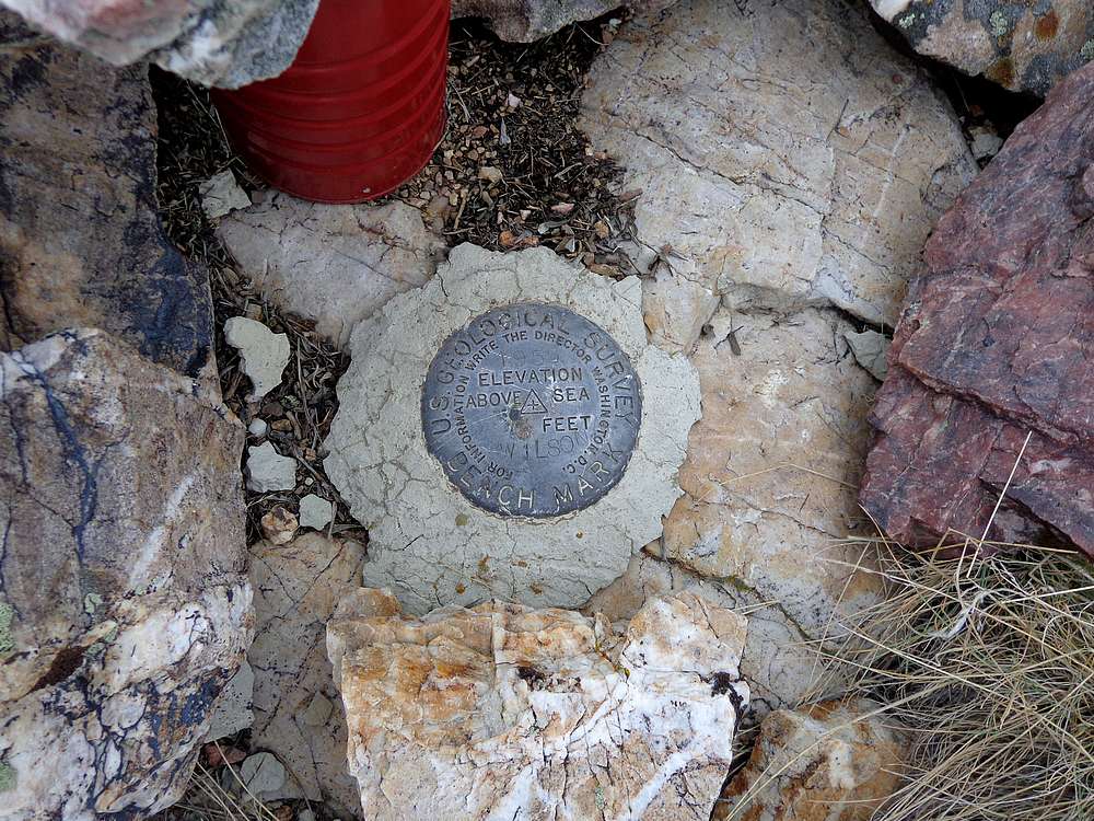
Clouds started rolling in as a neared the summit of Porter Peak, so views were obstructed. I managed to find the summit marker on the broad summit, then turned around and retraced my path back down to the road.
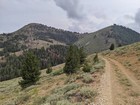
Once back down on the old road, the weather was holding, so I decided to take a side trip up Peak 8986’ “North Porter Peak”. There were traces of old trail along the southwest ridge of this peak too, and I did my best to hustle as raindrops were starting to fall.
By the time I reached to summit of North Porter, it was a full downpour. So I didn’t stay long at the highpoint before looking for shelter under some nearby trees. I waited there a bit for the rain to let up, but I was already pretty soaked, and decided I might as well just continue on back the truck in the interest of time.
Round trip was 4 miles, 1500’ of elevation gain, and 90 minutes for both peaks. It seemed like a nice areas, but I didn’t have much time to soak it in. In contrast, my clothes were totally soaked, so I was glad to get into some dry ones back at the truck. Then on the way down, I had to change a flat tire that I must have punctured on a rock on the rugged road. Still, any day in the mountains is a good day!
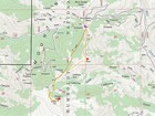
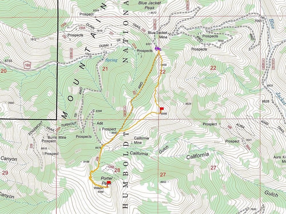
Map of the route, 4 miles and 1500' gain round trip. |
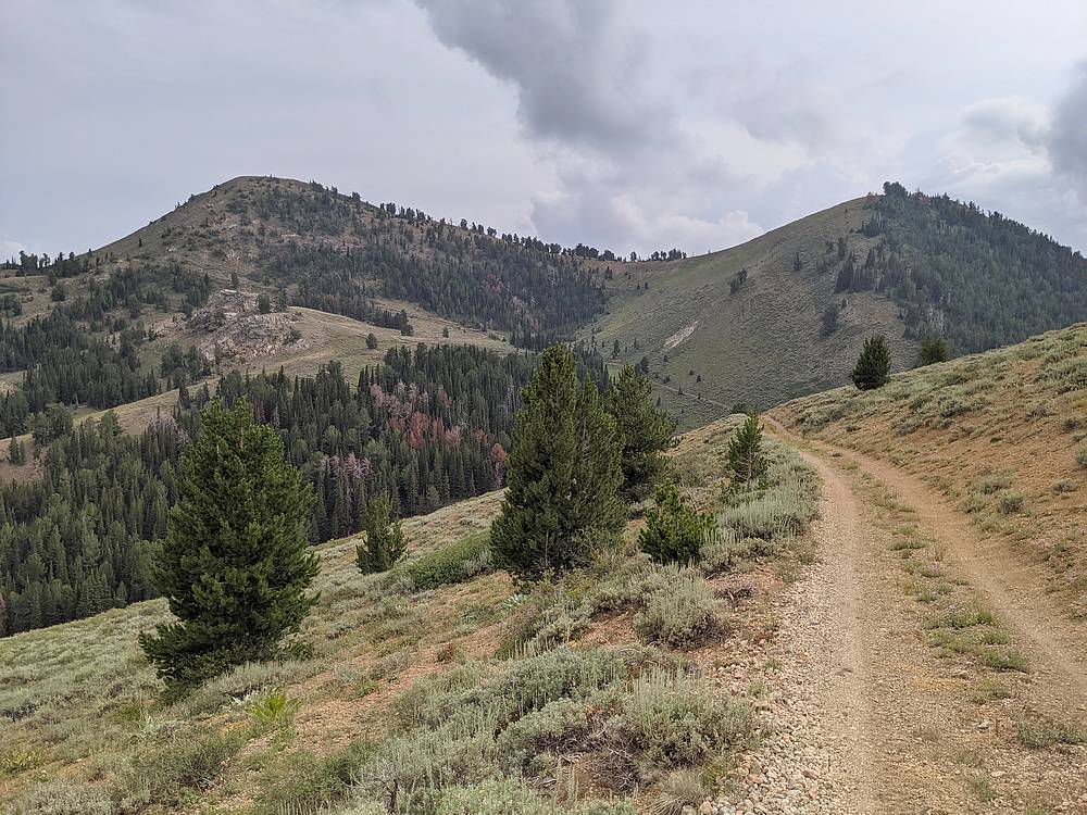
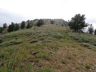
Start of the hike. |
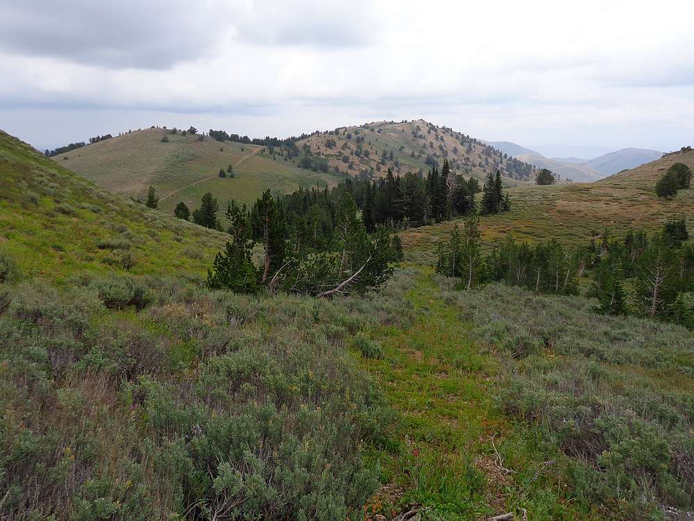
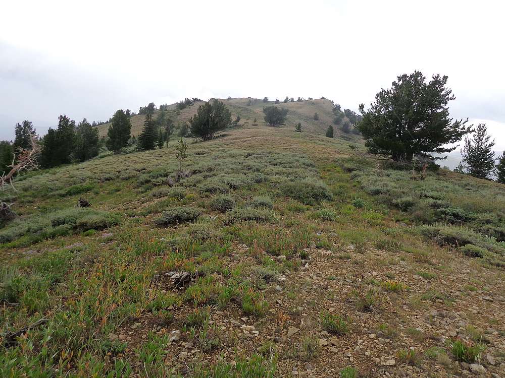
First view of Porter Peak. |

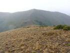
Looking back on North Porter. |
Nearing the summit of Porter Peak. |
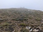
Fog rolling in on the summit of Porter Peak. |
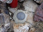
Porter Peak summit benchmark. |
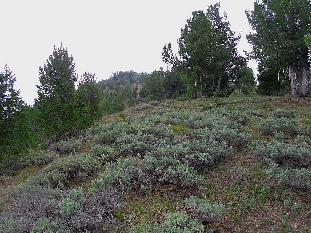
Heading up North Porter Peak. |
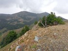
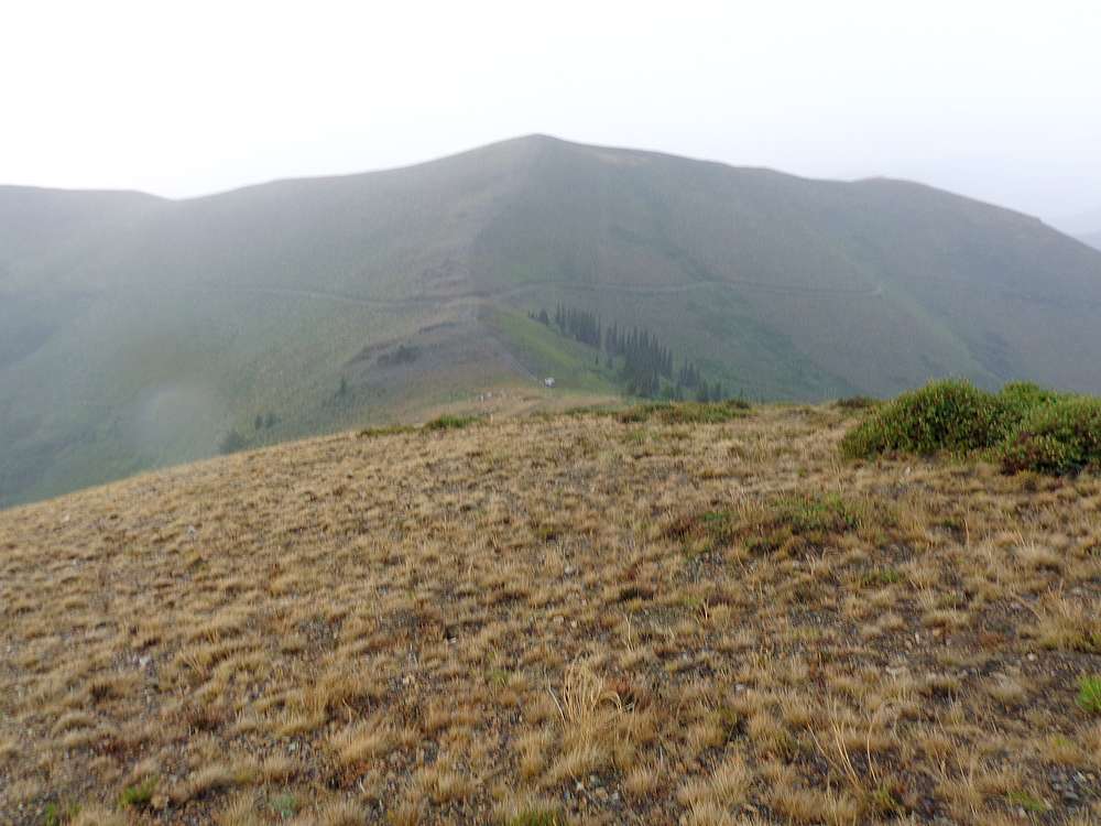
Porter Peak from North Porter Peak. |
Rainy descent back to the truck. |
|
|
|