|
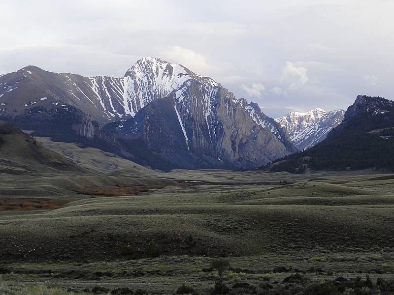
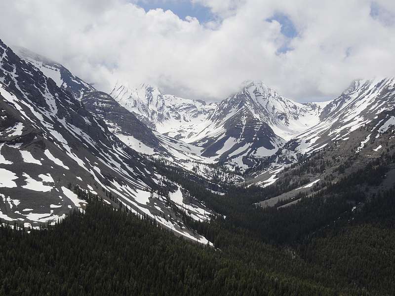
Mount Corruption is located in eastern Idaho’s Lost River Range, near the headwaters of the East Fork Pahsimeroi River. It’s a massive hulk of a mountain that isn’t often climbed because of its remote location. Late spring is a good time to attempt this peak, while there is still some snow covering the vast sea of talus and scree that surround the peak. But don’t try this one too early in the year, because the road goes through the river in a few places, and would be impassible when swollen by spring snowmelt.
We’d been planning a two-day trip to the area to climb both Mountaineer Peak and Mount Corruption, but those plans were thwarted by a school music program that both of my sons were in. So Michael, Splattski, and Alex headed over to climb Mountaineer on Thursday, then Steve and I would drive over Thursday night and climb Corruption on Friday. Probably the highlight of the drive over was spotting ten bighorn rams perched up on some cliffs near Horseheaven Pass. Very cool. After about 5 hours of driving, we eventually made it the end of the road, and our campsite on the east fork. Based on their experience on Mountaineer earlier in the day, the others decided that our original plan to climb the northwest snow gullies was not going to work due to rotten snow and thin coverage. So the decision was made to climb the “standard route” up the heinous gully on the southwest face of the peak. We swapped stories for a while, and then turned in for the night.
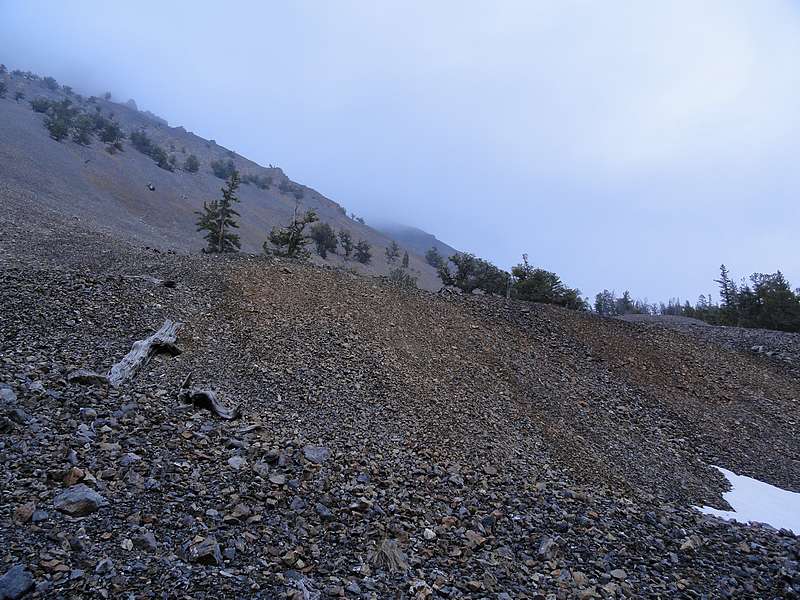
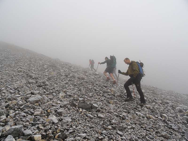
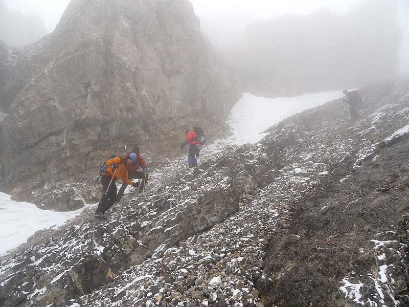
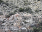
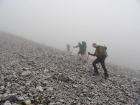
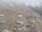
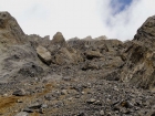
When we awoke the next morning, the peak was shrouded in fog. We hit the trail at around 6:30 am, following game trails along the east side of the river. Next we headed up the talus fields toward the highest stand of trees that marked the base of our ascent gully up Corruption’s southwest face. The fog made for low visibility, so we just did our best to find the most stable rock possible to avoid sliding back down the mountain. Michael seemed to particularly enjoy this section.
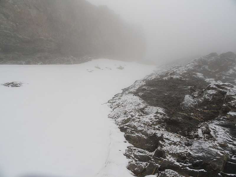
Our progress was slow, but eventually we started finding broken snowfields that allowed us to put on crampons and make a little better time. I thought I found a good line up the left-hand side of the large gully, but the others stayed mostly to the right-hand side. With the fog, it wasn’t long before I couldn’t see the others, but I could still hear them pretty well. We all continued upward, and I eventually reached the crest of the west ridge at about 11,500’. I couldn't hear the others anymore by this time, but figured they’d probably angled toward the south ridge instead. The wind was blowing pretty hard up on the ridge, but fortunately it wasn’t very cold.
It wasn’t long before I made it to the summit cairn. I was the first to arrive, and not too much later I could hear voices below, although it was hard to tell where they were coming from. We hollered back and forth for a while, and then I hunkered with my PB&J to wait for the others. After about 15 minutes, Michael and John arrived. They seemed relieved to see me. It turned out that with the wind blowing earlier, I could hear them clearly, but they couldn’t hear me. Alex and Steve arrive a few minutes later, and we all relaxed in the fog for a while, lamenting the fact that we had no views from a peak that is known to have some great ones.
On the way down, we retraced my route along the west side of the face/gully. We had to be very careful not to dislodge too many loose rocks on each other, and eventually reached some larger snowfields that allowed us to make a faster pace. Not long after that, the fog started to clear and we could actually see the three thousand vertical feet of scree and talus below us. We were also starting to get some good views of the peaks around us, including Badrock, Church, and the north face of Breitenbach. Great scenery, but we were wishing the fog had cleared a couple hours earlier. The rest of the descent was uneventful as we carefully made our way down the loose rock back to the river. Mount Corruption had been high on my list for a while, and it was very satisfying to have made the summit, in spite of the fog.
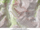
Map of our route, only 4 miles round trip but 3700' elevation gain. |
At least 10 bighorn rams near Horseheaven Pass. (Steve G. photo.) |
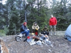
Lively group around the cold fire ring.
|
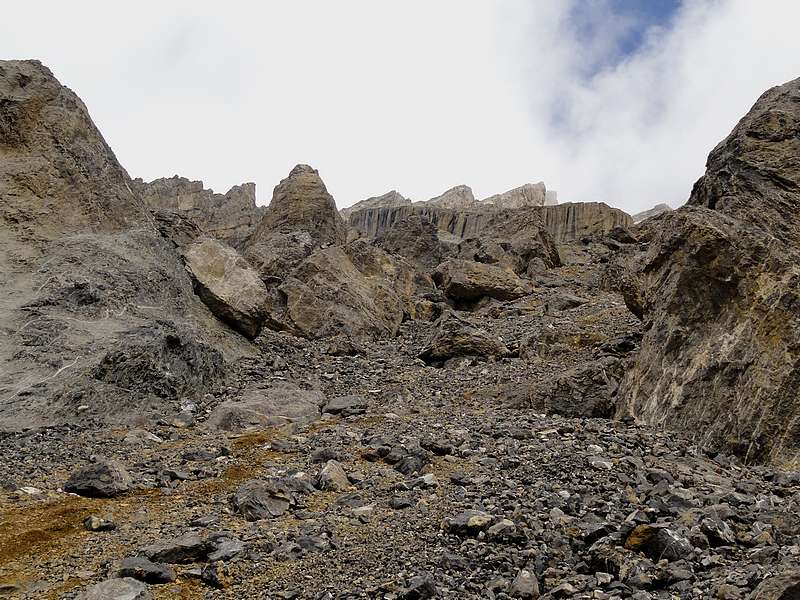
The start of the talus.
|
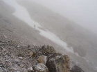
Climbing into the fog.
|
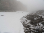
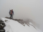
Finally some snow for cramponing. |
Snowfield I climbed on the left-hand side of the gully. |
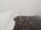
Summit marker in the fog.
|
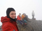
Splattski style group shot on the summit. |
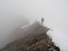
Descending the summit ridge. |
Along the summit ridge.
|
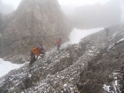
Down climbing a loose rocky section. |
Making our way down.
|
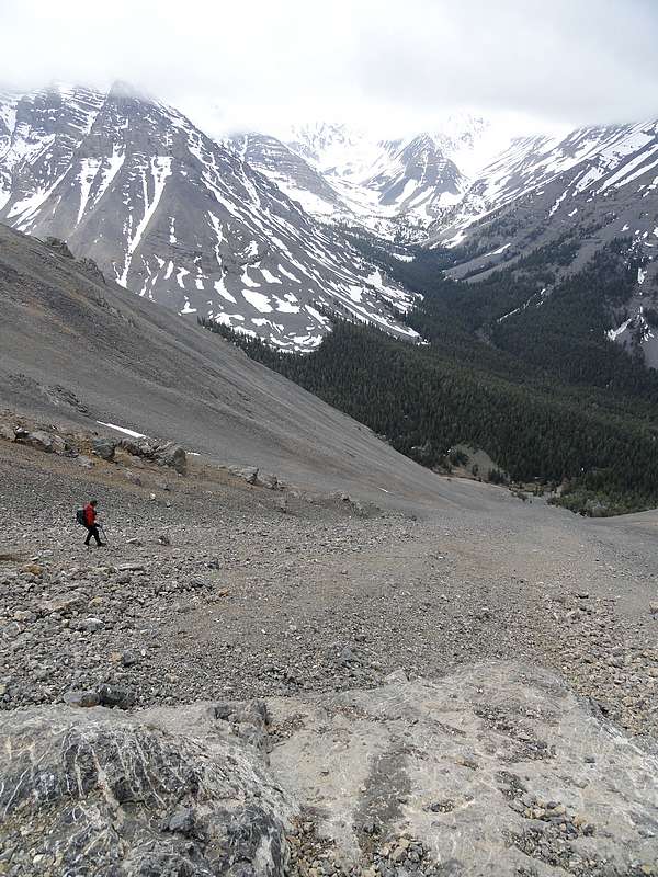
Finally some views. The valley floor is almost 3000' below. |
Looking back up at some cool towers.
|
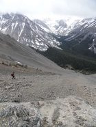
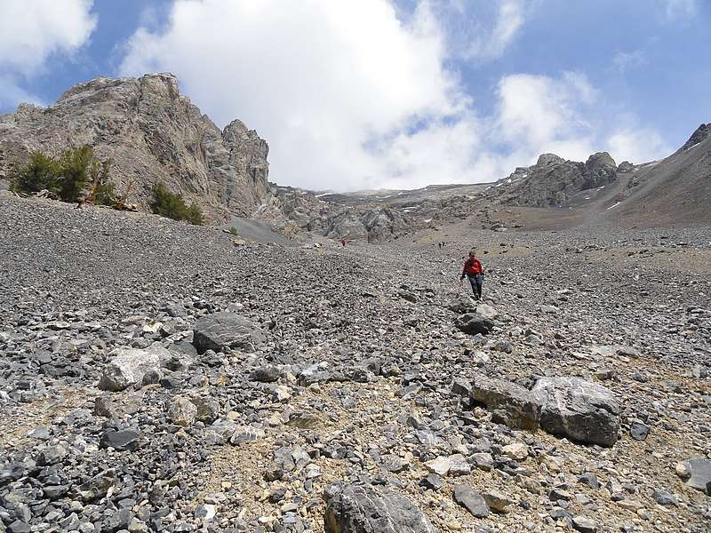
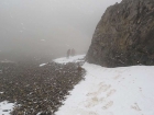
Lots of scree and talus on the descent. |
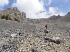
Scree and talus was the theme for the day.
|
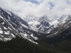
The view across the valley of Church and Badrock.
|
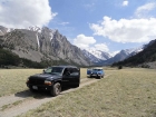
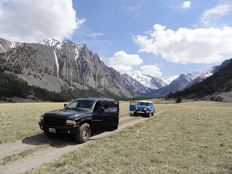
One of our many stops for photos on the drive out.
|

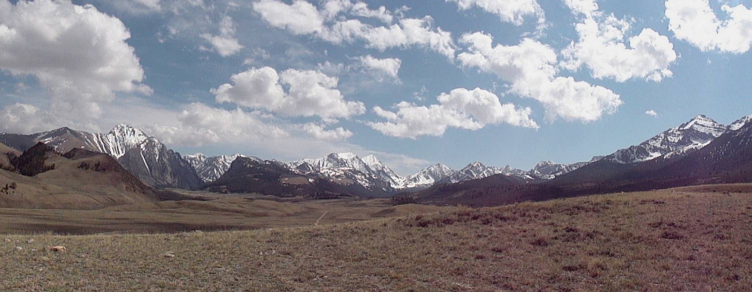
Panoramic view of the east and west forks Pahsimeroi River.
|
|