|
The Riddler
Elevation 11580'
The Riddler is a complex mountain located in the Lemhi Range of eastern Idaho. This aptly named peak makes for a great adventure as there is no obvious or straightforward way to the summit. Adding to the adventure is that the peak is seldom climbed, thanks in part to being overshadowed by its popular 12er neighbor, Diamond Peak.
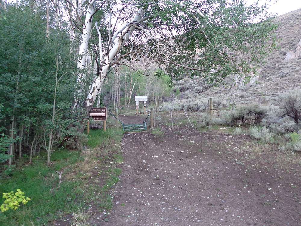
Michael had driven over earlier in the day, and I met him just after dark at the end of Pass Creek road. He was already stretched out on his cot, ready for sleep. We got up early the next morning, knowing we’d be in for a long day. We followed the trail for a mile or so before heading west up the valley toward the Riddler. After leaving the main trail, we were able to take advantage of cow trails heading up the valley. Those gave way to forest interspersed with grassy areas as we continued up the valley.
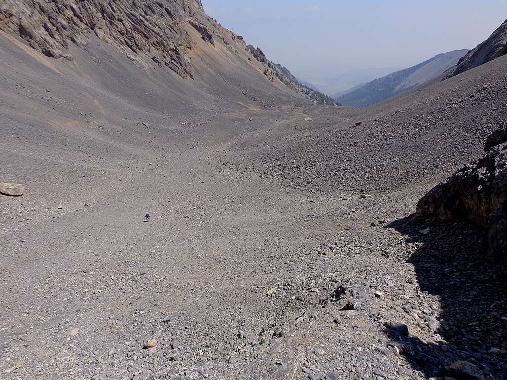
The terrain was surprisingly easy to navigate on the way up the valley toward tree-line. Along the way we saw a group of dear, a couple elk, and a mountain goat. Needless to say we were enjoying ourselves. Soon enough we reached rockier terrain. The valley tightened, and we found ourselves surrounded by dramatic cliffs on each side. Route-finding was minimal, just go up the middle!
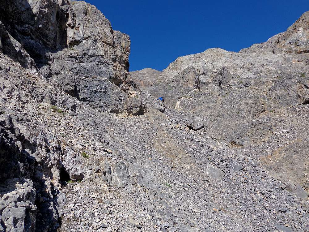
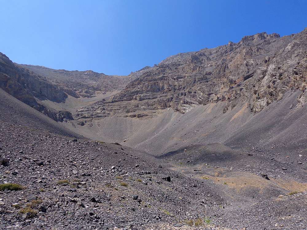
We had to deal with some talus, but it wasn’t horrible. And there was an interesting waterfall to check out, which helped distract us from the talus trudging. Once in the upper valley, the mountain itself came into view. As expected, the way up wasn’t obvious. We had read that the route hung a right at the base of the peak, so that’s the direction we headed.
Once at the base of the peak, Michael headed right/north in search of the gullies we’d read about. I took a more direct approach. This was initially to take a different line than Michael to avoid kicking rocks on each other. But I ended up continuing with the direct route because the route-finding and climbing were great fun.
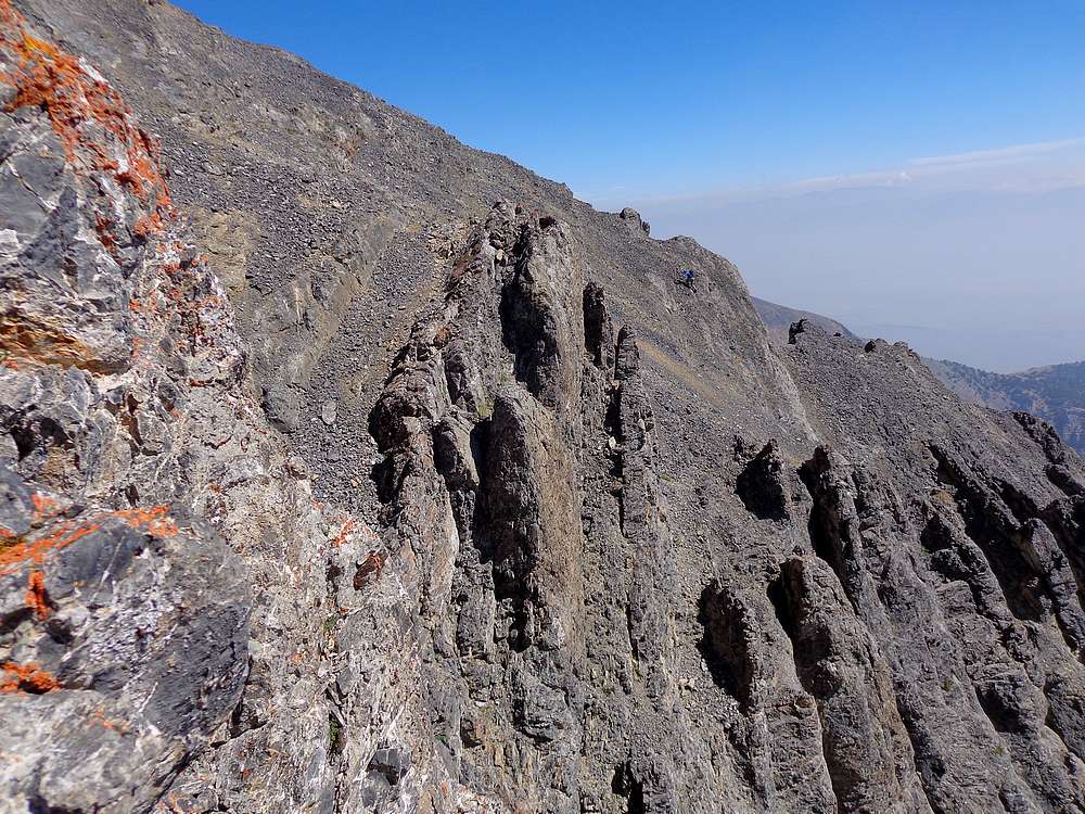
I caught occasional glimpses of Michael on my right. He’d found and followed the Baugher route. My route took me up occasional cracks, weaved around and through small ridges, and eventually placed me right on the summit. The climbing had been really enjoyable, with a couple low 4th class moves thrown in along the way.
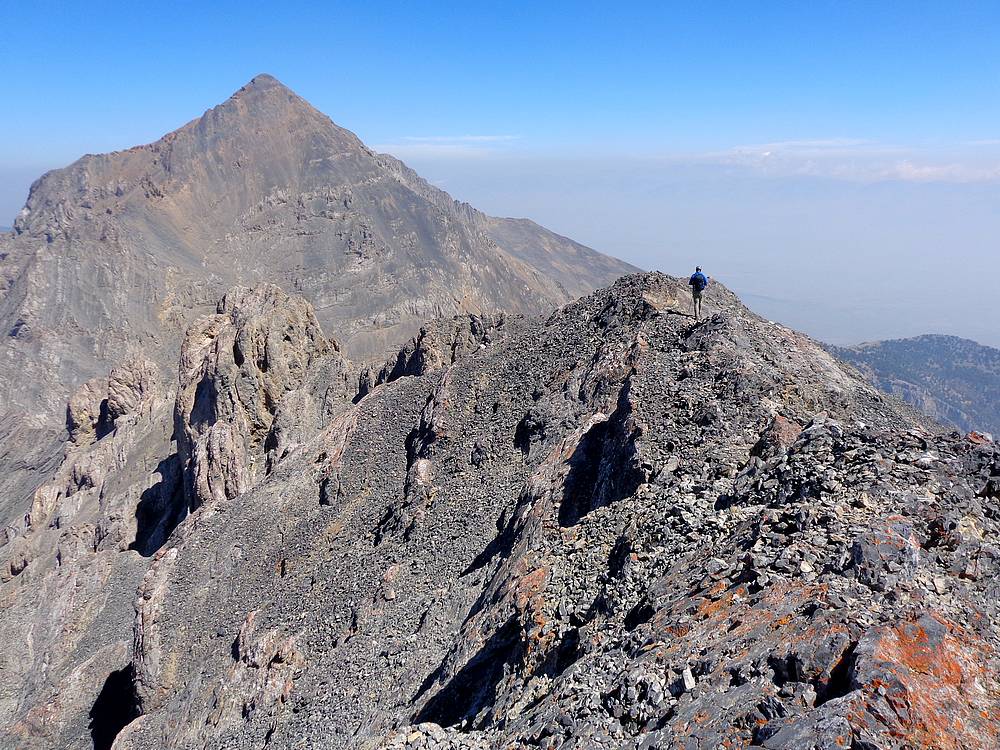
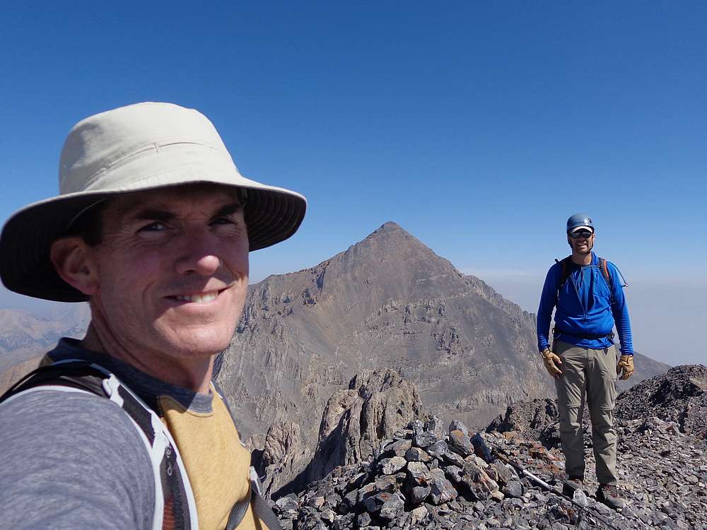
Once we were both on the summit, we sat and enjoyed the scenery. Unfortunately, distant views were obstructed by smoke. But we had a great in-your-face view of Diamond, and could just barely make out a group of climbers on its summit. Then after a most excellent PBJ, it was time to head down. We carefully descended the Baugher route, then retraced our path back to the trailhead.
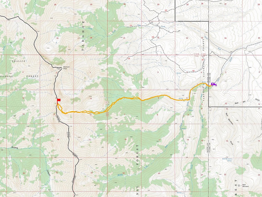
Round trip measured in at 12 miles and 4900’ elevation gain in 9.5 hours round trip. It had been a great day in the mountains, and one of the most interesting and enjoyable peaks I’ve climbed.
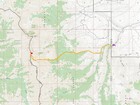
Map of the route, 12 miles and 4900' gain round trip. |
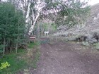
Pass Creek trailhead. |
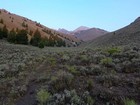
View west up the valley. Diamond Peak visible, Riddler on far left. |
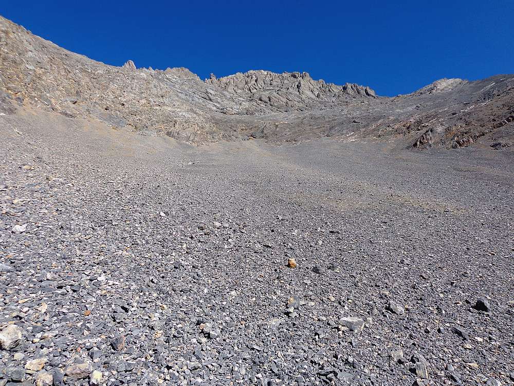
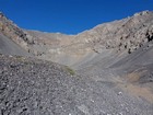
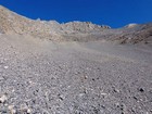
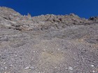
Heading above tree line and into the talus. |
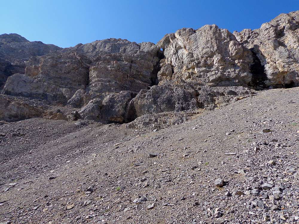
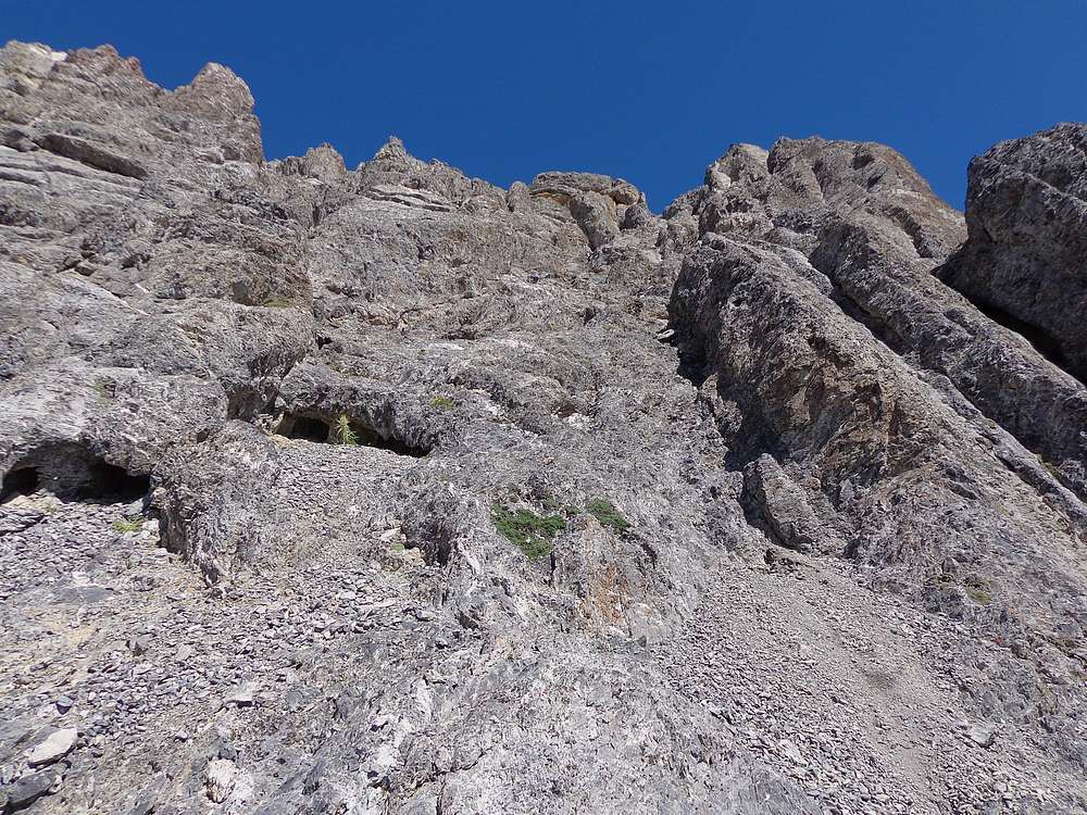
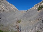
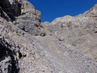
Only way through the cliffs is at the head of the valley. |
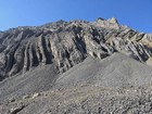
Funky vertical rock layers off to the side of us. |
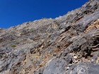
Making our way up. |

Waterfall flowing through a hole in the limestone. |
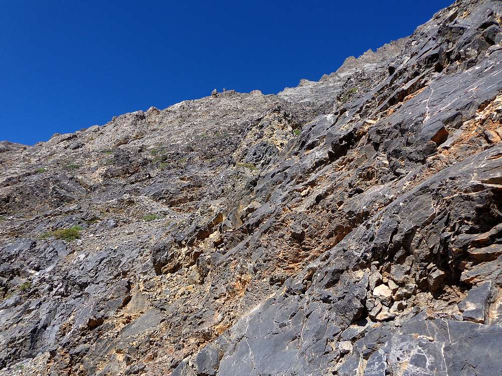
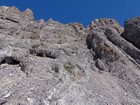
Gnarly southeast face of The Riddler. |
I hung a left at this point, then back up to the right. |
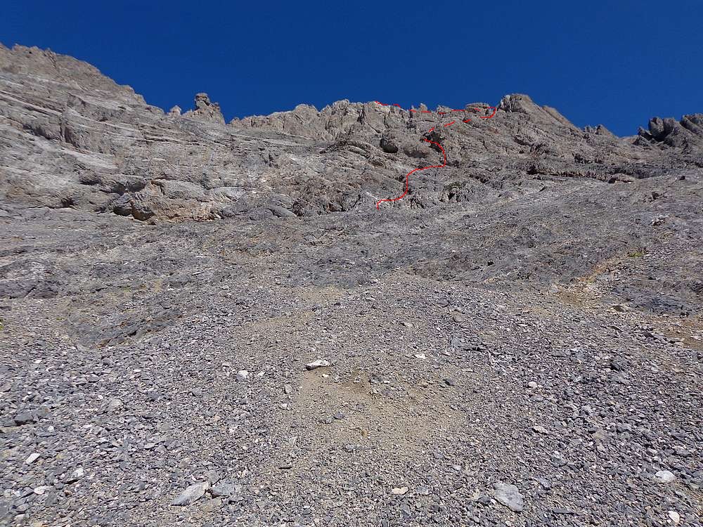
Red marks the twisty route I took up the face. |
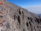
Upper part of the face. I aimed for the skyline notch, right of center. |
Michael topping out on the Baugher route. |
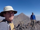
Summit shot on The Riddler, Diamond Peak in the background. |

Leaving the summit of The Riddler, Diamond towering in the background. |
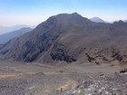
View of Big Boy Peak as we descend back into the valley. |
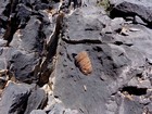
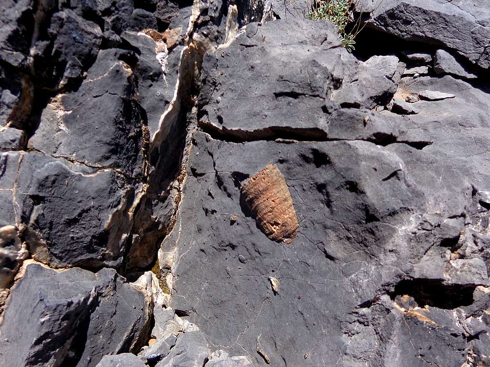
Lots of fossils in the area, this one still encased in limestone. |
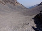
Descending through talus. |

Cool cliffs made for a neat setting. |
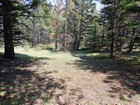
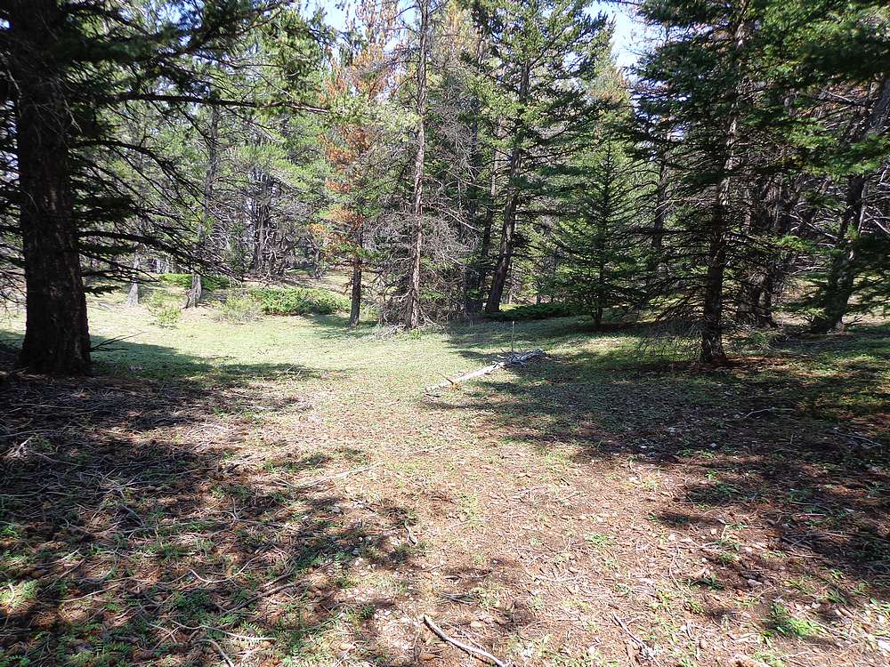
Park-like terrain on the way back down. |
|
|
|