|
Roaring Peak
Elevation 11458'
Roaring Peak is an impressive mountain located on the northern fringe of the Boulder Mountains, near the East Fork Salmon River. This remote 11er is very rugged and seldom climbed. There are a couple known routes to reach the summit, but neither are easy. This peak is not to be taken lightly. (This peak is also known as Barracuda, Lost Mine Peak, or my favorite Lost Mind Peak.)
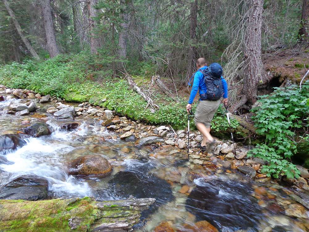
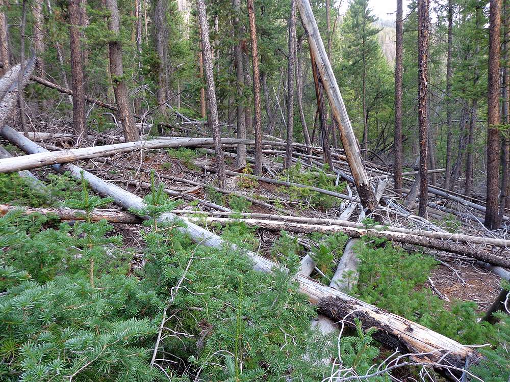
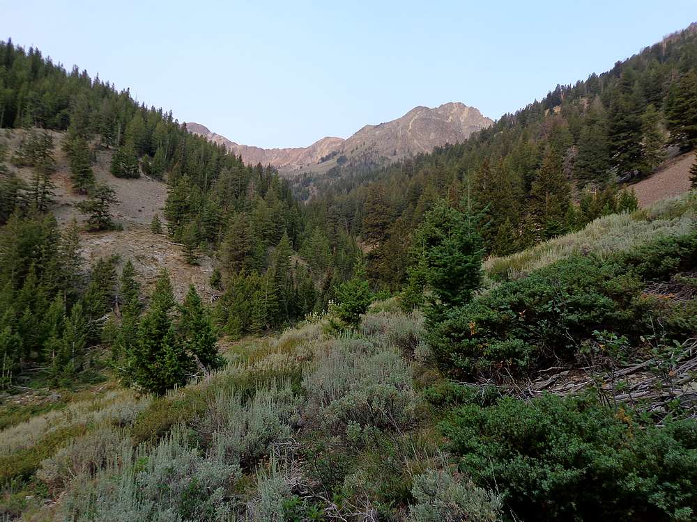
Michael and I made the long drive along the East Fork Salmon, then up West Pass Creek to the end of the road. We camped there for the night, were up early the next morning, and hiking by first light. The creek crossing got our blood flowing, and we then followed the old road as far as seemed practical before heading west up Lost Mine Canyon. There was a ton of deadfall and a couple more creek crossings to deal with before we reached friendlier slopes on the north side of the canyon.
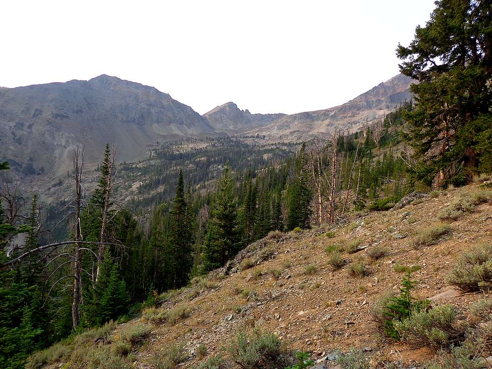
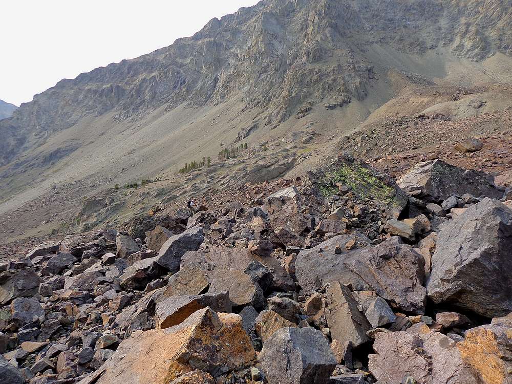
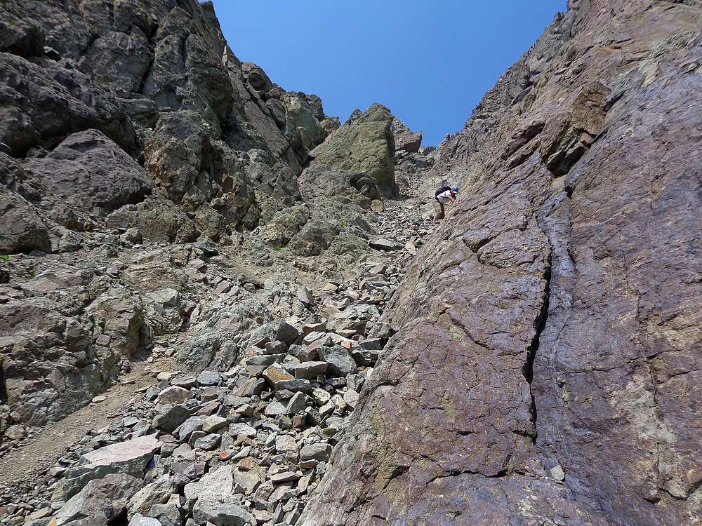
We took advantage of occasional game trails on the way up the canyon, and then some time-consuming talus and boulder hopping before we eventually arrived at the bottom of the ominous gully we’d read about. The gully was steep and full of loose rock. This bowling alley was no place to be without a helmet. Our climbing was slow and tedious. At one point, a cantaloupe size rock came careening down the gully. I jumped barely out of the way, and it passed between us. Whoa! Needless to say, we were pretty sketched out the rest of the climb after that.
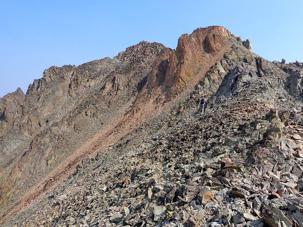
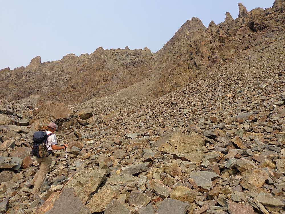
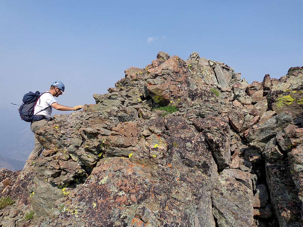
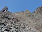
The gully angled up and left onto some steep and loose talus slopes, and then to more stable conditions on south ridge of the peak. After briefly following a goat trail along the west side of the ridge, we then climbed another gully back up to the ridgeline and to the summit.
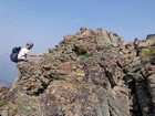
It definitely felt like an accomplishment to reach this remote summit. But we couldn’t relax knowing the down climb we still had to deal with. So after a brief rest and a snack, it was time to head down.
Backtracking to the top of the gully was straightforward. Then it was just a matter of slowly and carefully picking our way back down the gully. We took turns down climbing to avoid kicking loose rocks on each other. It was definitely a relief to finally reach the boulder field at the bottom of the gully.
With the hard part now behind us, we were able to mentally relax a bit as we retraced our path back down the canyon. As we descended toward West Pass Creek, it became obvious that the north side of the canyon had much less deadfall. We crossed the creek, and did a short but steep climb back to the road. From there, it was an easy hike back to the trailhead.
Round trip was 9 miles and 4600’ elevation gain in 9.5 hours. It had been a big adventure in a remote area. This 11er was definitely well earned.
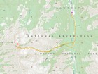
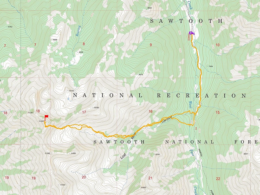
Map of the route, 9 miles and 4600' gain round trip. |
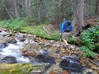
Our second creek crossing. |
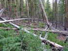
A ton of deadfall on the south side of Lost Mine Canyon. |
Heading up Lost Mine Canyon. |
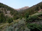
View looking up the canyon. |
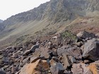
Michael doing some boulder hopping. |
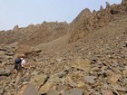
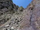
First view of the ominous gully. |
Michael heading up the gully. |
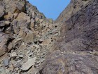
Typical conditions in the gully. |
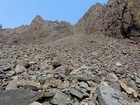
Steep talus above the gully. |
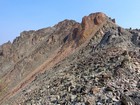
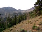
First view of the summit of Roaring Peak. |
Final moves to the summit of Roaring Peak. |
On the summit of Roaring Peak. |
Down climbing the gully. |
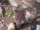
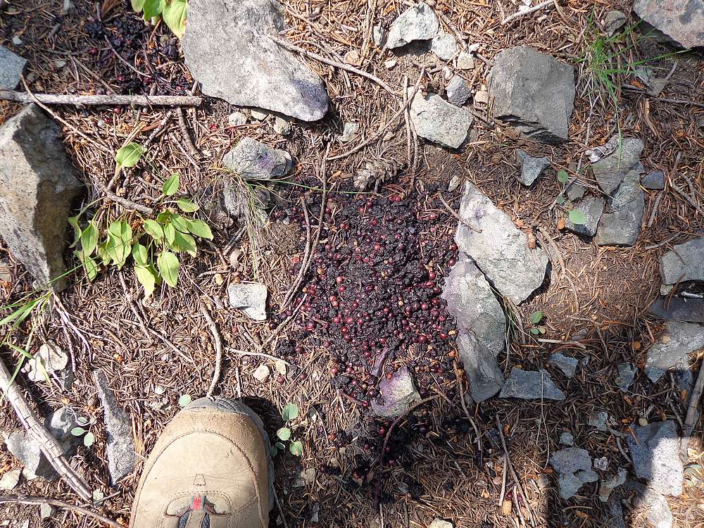
We saw bear scat in several places throughout the day. |
|
|
|