|
If you’re looking for a quick hike close to Boise that doesn’t see too many visitors, then Peak 3793’ isn’t a bad option. I nicknamed it “Stewart Point” since it is located near the head of Stewart Gulch. There’s not really a trail, but the open terrain makes for easy navigation to the summit. It’s less than a mile trip, with only about 300 feet of elevation gain. The easiest starting point is wide spot in a road about 3.5 miles up Bogus Basin Road from the Curling Drive intersection.
My sons and I had some time to kill on a nice cool April Sunday afternoon. I gave them a few choices of where we could go to do some exploring, and they chose Stewart Point. So after a quick drive, we were on our feet. We headed cross-country and found a few different tracks to follow. It wasn’t long before we were grinding our way up the sagebrush and balsamroot covered slopes. It was a nice day, and we took our time.
It was breezy on the summit, so we put our jackets on and sat down to enjoy our PB&J’s while taking in the view of Boise in the distance. After lunch, we explored the rest of the summit ridge, then retraced our steps back down to the car, and rewarded ourselves with some ice cream on the way home.
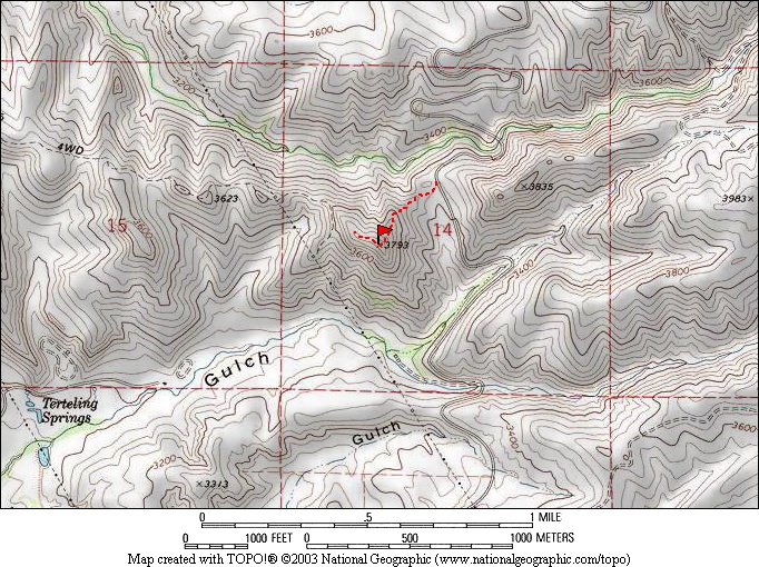
Map of the route, just under a mile round trip with 300' of elevation gain.
|
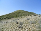
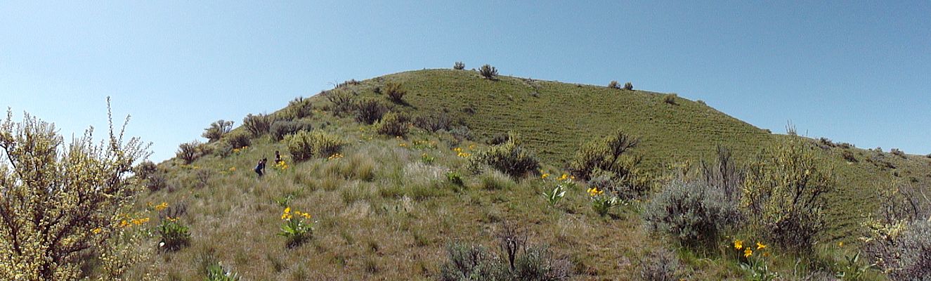
East side of the peak, early in the hike.
|
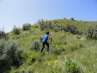
Walking sticks came in handy.
|
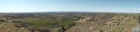
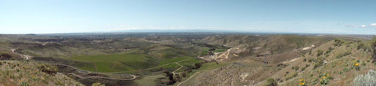
Summit panorama of Boise. Table Rock on the left.
|
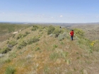
Exploring the summit ridge.
|
|
 |
IdahoAlpineZone is unofficially sponsored by Skippy Peanut Butter.