|
Sweet Butte
Elevation 4602'
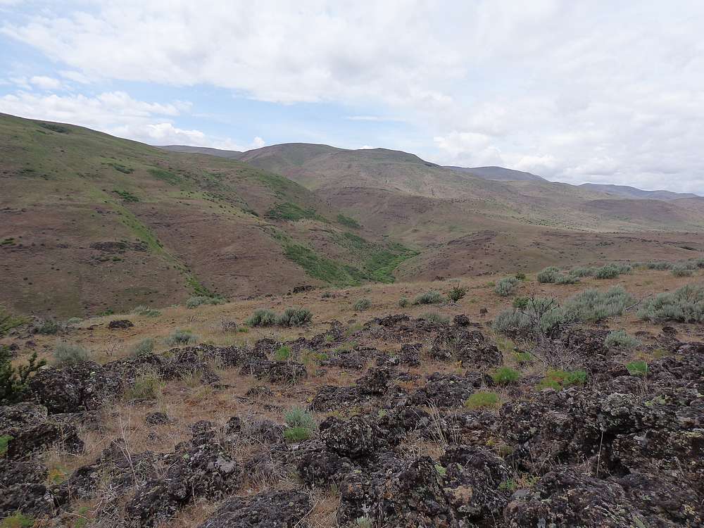
Sweet Butte is located near that southern end of the West Mountains, not far north of Black Canyon Reservoir, and the small community of Sweet. This area is open high desert terrain, best visited in cooler months. There is quite a bit of private property around Sweet Butte, but conveniently there is a sliver of public BLM land that leads from the Sweet-Ola highway to the highpoint.
After bad weather thwarted bigger plans, I decide to go for a quick hike close to home. I’d seen that Tom and Jason had visited Sweet Butte a few weeks prior, so decided I’d give it a shot. After an hour driving from Boise, I was ready to hike.
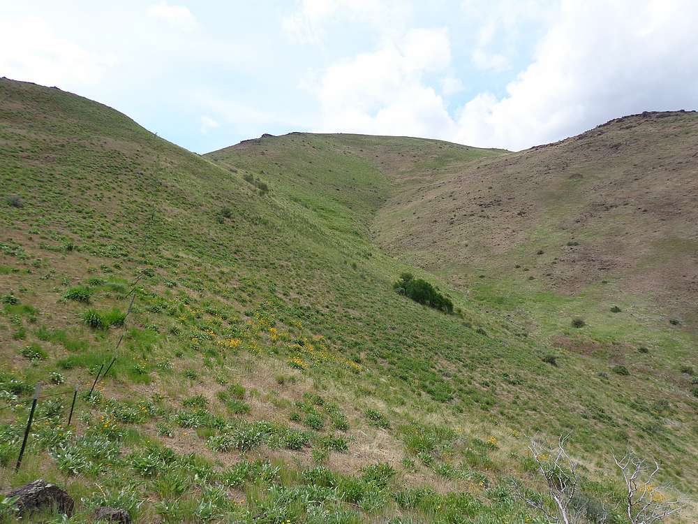
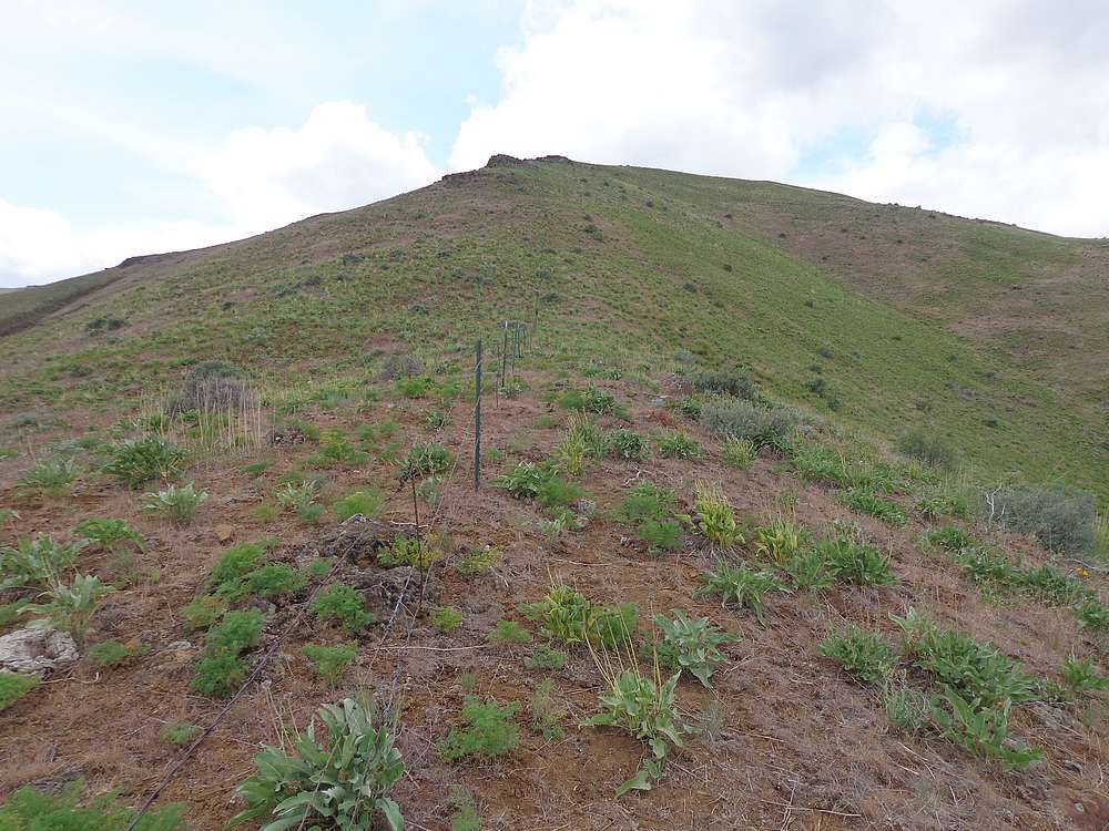
To stay on public land, I climbed up and over the south shoulder of Point 3630’, then descended briefly to the broad saddle to the west. Other than a few cows, I had the area to myself. Once at the base of the west ridge, I stayed on north side of the fence marking the property barrier, and up I went.
The early part of the hike falls into the category of “at least I’m getting some good exercise”. But higher up, both the scenery and views improve, making it quite pleasant. I reached the top and signed the newly placed register. The highpoint is a good place to take in the views of nearby Squaw Butte, but some low clouds blocked the higher peaks to the north.
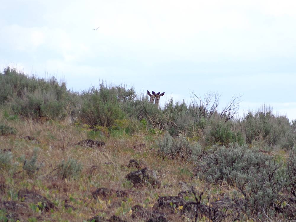
After a snack, I retraced my path back to my car. On the way down I got to check out various birds and even few deer. So a pretty nice hike. Round trip was 5 miles and 2100’ of elevation gain in 2.5 hours.
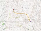
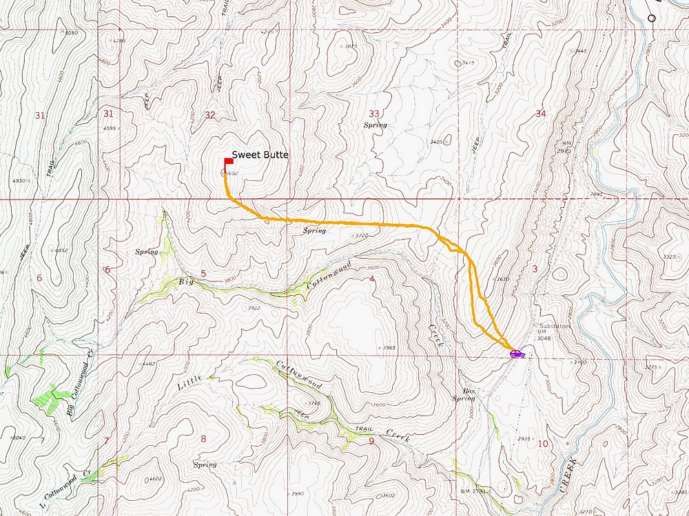
Map of the route, 5 miles and 2100' gain round trip. |
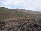
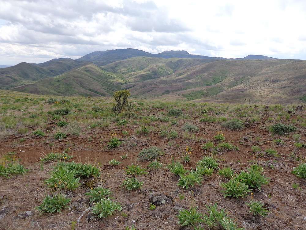
Sweet Butte from the south shoulder of Point 3630'. |
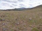
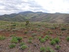
View of Squaw Butte during the hike up. |
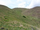
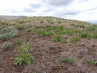
The steepest section of the hike. |
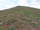
Following the fence line up the ridge. |
Summit of Sweet Butte. |
Squaw Butte from Sweet Butte. |
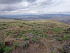
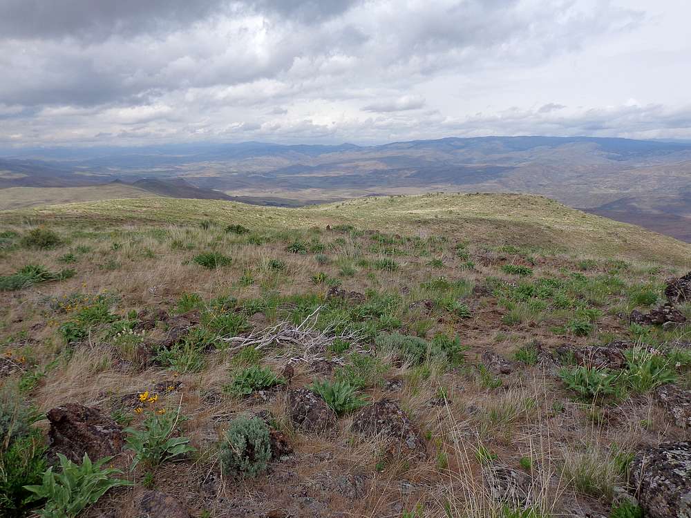
View north from Sweet Butte. |
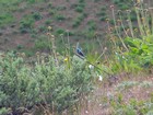
Lazuli Bunting during the hike down, |
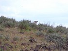
A couple of the deer seen during the hike down. |
|
|
|