|
Queens Crown Hike
Elevation 5590'
Queens Crown is located on the southern fringe of the Pioneer Mountains, where they meet the Snake River Plain near the town of Carey. Queens crown features a tall basalt cliff on its north side, and is a prominent local landmark.
I’d been driving by Queens Crown for years, and decided on a quick pit stop along the drive to Lost River Peak, that I’d be climbing the next day. I drove around and parked on the south side of the mountain by the first gravel pit. From there, I just hiked up the 4WD road to the summit.
The top was a great place to check out the views of the Snake River Plain. I stayed to check out the views for a while, and then retraced my path back to the car. The hike was 2.5 miles, and 700’ of elevation gain, in about 45 minutes round trip.
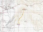
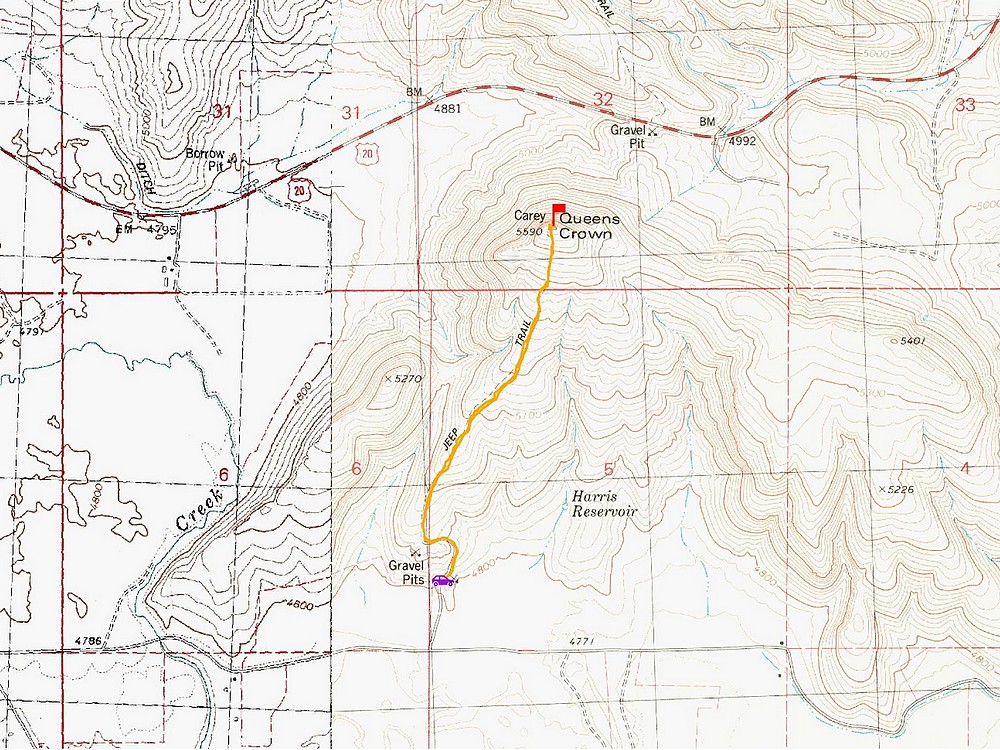
Map of the route, 2.5 miles and 700' gain round trip. |
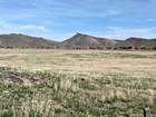
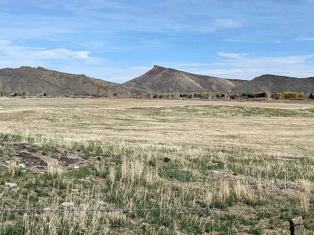
View of Queens Crown from the drive. |
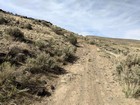
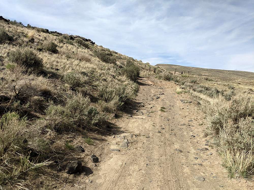
Start of the hike. |
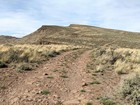
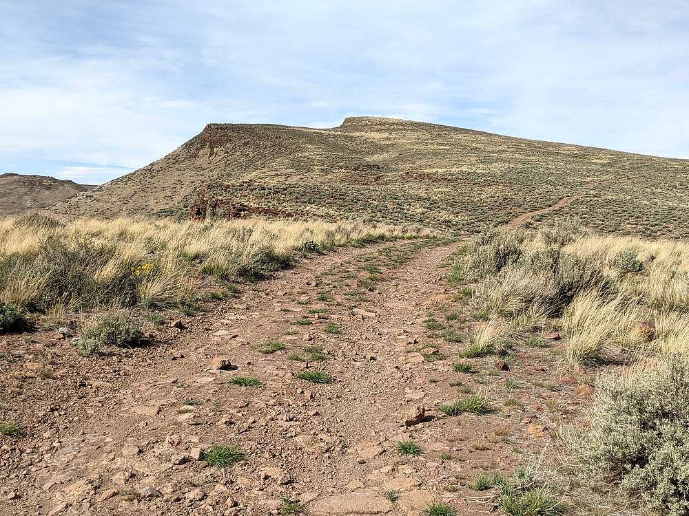
Highpoint coming into view. |

Looking down on Carey from Queens Crown. |
|
|
|
 |
IdahoAlpineZone is unofficially sponsored by Skippy Peanut Butter.