|
Lost River Peak
Great day climbing the Super Gully, with Paragon Peak as an added bonus!
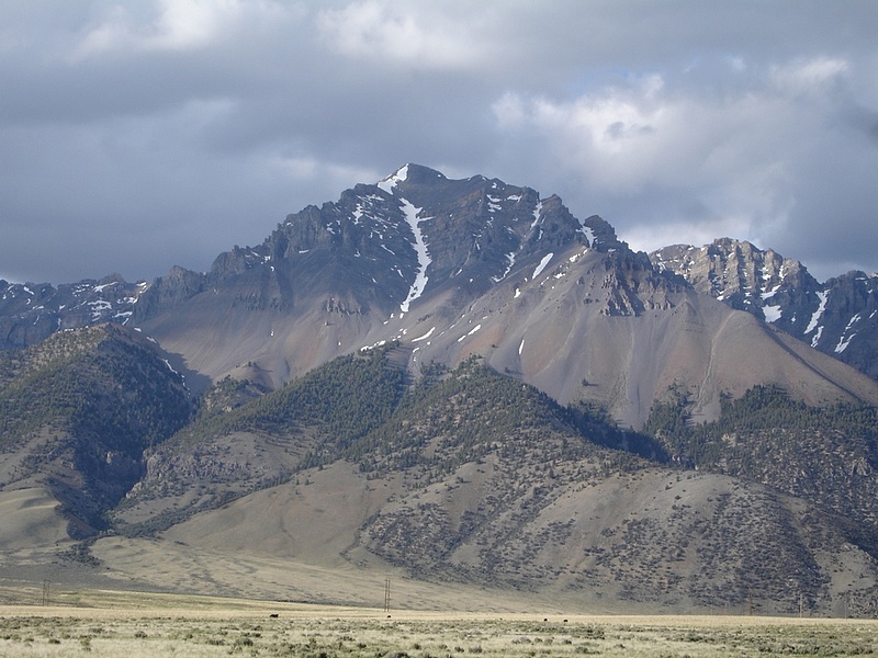
Lost River Peak is the sixth highest mountain in Idaho, towering high above the Lost River Valley. The peak is best known for the distinctive Super Gully that carves its way up the southwest face of the mountain. The Super Gully continues to increase in popularity as a spring snow climb for those wanting to avoid the loose scree and talus that make a summer ascent laborious.
This would be the final 12er for both Jay and Terry, and our plans had been in the works a few months in advance. Bill and Lauren were also up for some adventure. I’d climbed this peak before, but had ulterior motives for a side trip to summit nearby 11er Paragon Peak. So needless to say, we were all looking forward to the trip.
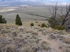
We all met up at the Mackay Reservoir campground the night before. After a short night of sleep, we were up by 4am, and hiking by 5am. Starting the climb in headlamps actually seem like a good distraction from the immediate and relentlessly steep uphill trail.
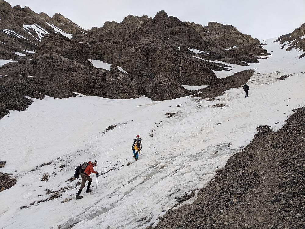
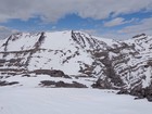
Once above tree line, the mouth of the Super Gully came into view, and it wasn’t long before it was time to put on crampons for snow climbing. The slope starts of fairly mellow, which is good for warming up and getting comfortable on the snow. But as you go higher, the route gets gradually steeper.
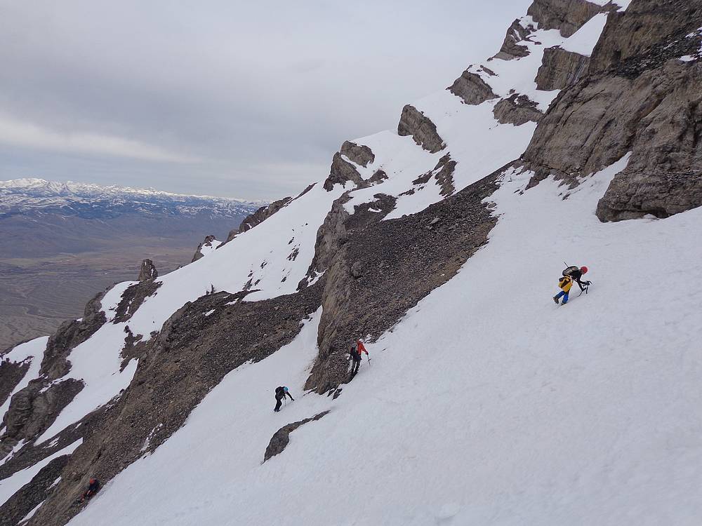
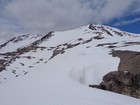
We made a good steady pace up the bottom portion of the gully. But as we entered the “stadium of the gods”, we began a steady diet of post-holing, even crawling on all fours at times to try and stay on top of the snow. This section was a lot of work, but eventually the snow got more firm higher up, and we made our way up the steep snowfield at the top of the gully.
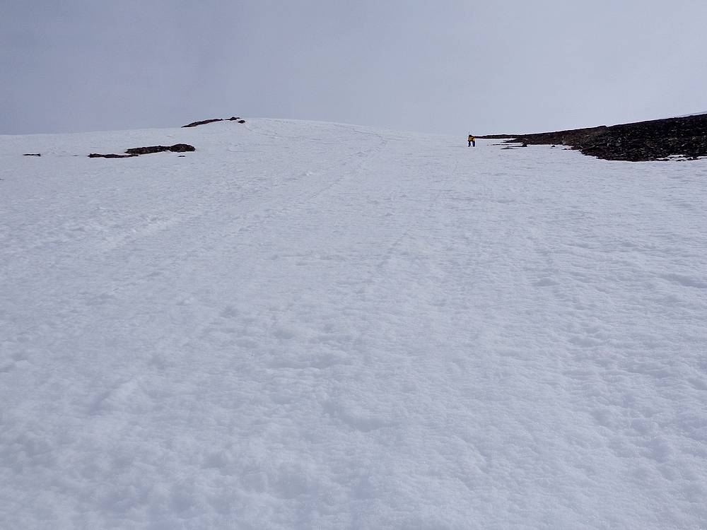
It felt good to reach the false summit, and the ridge to the highpoint came into view. I went on ahead of the others in attempt to shorten the amount of time they’d have to wait for me during my side trip to Paragon Peak.
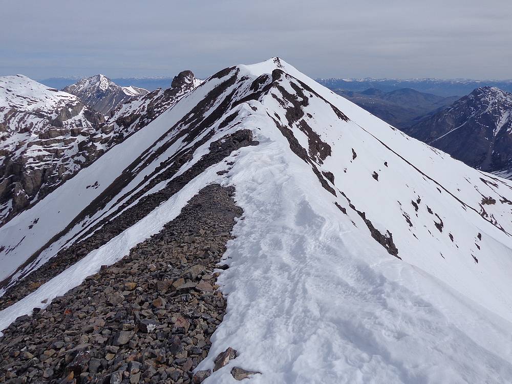
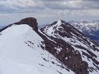
The summit ridge of Lost River Peak was snowy in some places, and rocky in others, and the combination made for a fun finale before the summit. From there I studied the route to Paragon to the east. It didn’t look very steep, but plenty of snow coverage meant post-holing was the biggest potential obstacle. I decided it was worth a shot.
So down I went, descending 700’ that would have to be re-climbed later. Once at the connecting saddle, it was time to climb again. The snow was supportive in most places, and I was able to connect a few rock sections and avoid any major post-holing. But the early-season, high-elevation workout was starting to take its toll on me, and my pace was slowing.
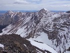
It felt good to reach the summit of Paragon Peak, which provide great views of the surrounding tall peaks. But with the others waiting for me, I didn’t stay long on the summit. The descent back to the saddle was no problem, but re-climbing the 700’ back up the summit of Lost River Peak was painful. I was pooped by the time I got there, but it felt good knowing it would be all downhill after that. The others were in view to the south on the false summit, and I made my way back across the summit ridge to rejoin them.
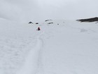
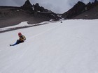
Now that we were all back together, it was time to head down. Snow conditions seemed perfect for some glissading, so after some quick self-arrest practice, it was time for the fun to begin. Terry was immediately comfortable, and left the rest of us in the dust. But soon enough we were all hooting, hollering, and sliding our way down the mountain. We ended up glissading about 2000’ in all. What a blast! Once off the snow, at that was left was the hike down the steep trail back to the car.
It had been a fantastic day in the mountains. Terry and Jay had completed their 12ers, and the rest of us had a great time too. Round trip from me was just under 7 miles and 5700’ in 9.5 hours. (~5 miles and 4500’ gain if only doing Lost River Peak.)
Access Road Update June 2022: Upper Cedar Creek Road is currently blocked by a locked gate and NO TRESSPASSING signs where it crosses the private ranch property. It’s unclear if these are new owners, or if the gate got left open one too many times. Whether or not this is a permanent closure, be prepared for an alternate drive approach. Reportedly the best option now is the next (unmarked) gate about a mile-and-a-half north off US93.
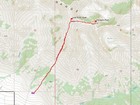
Map of the route, 7 miles and 5700' gain round trip. 5 miles and 4500' if only Lost River Peak. |
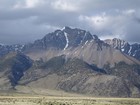
View of Lost River Peak and the Super Gully from a prior trip. |
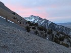
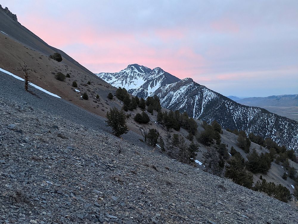
Pink skies over Mount McCaleb on our way up. |
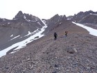
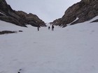
Nearing the start of the Super Gully. |
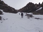
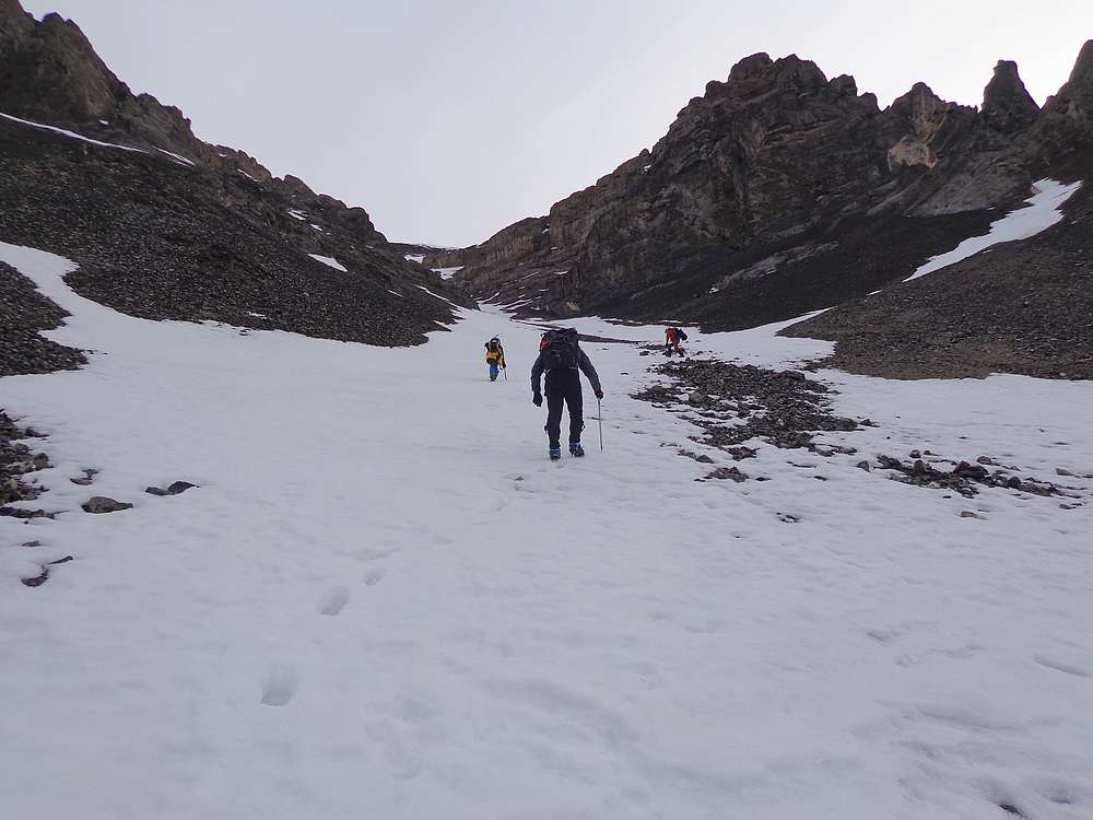
Heading up the snow. |
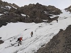
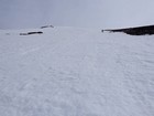
Some icy spots down low. |
A view up the Super Gully. |

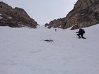
Taking a breather in the stadium of the gods. |
Are we there yet? |
Still heading up. |
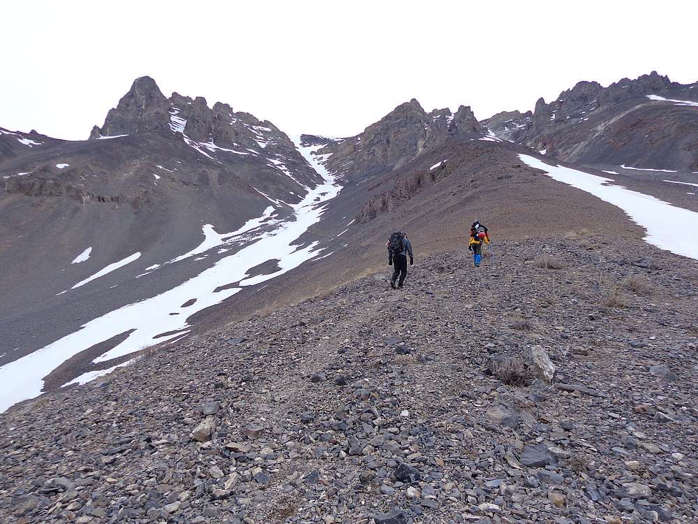
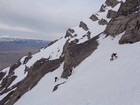
Nearing the top of the Super Gully. |
Lauren leading the final steep section. |
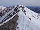
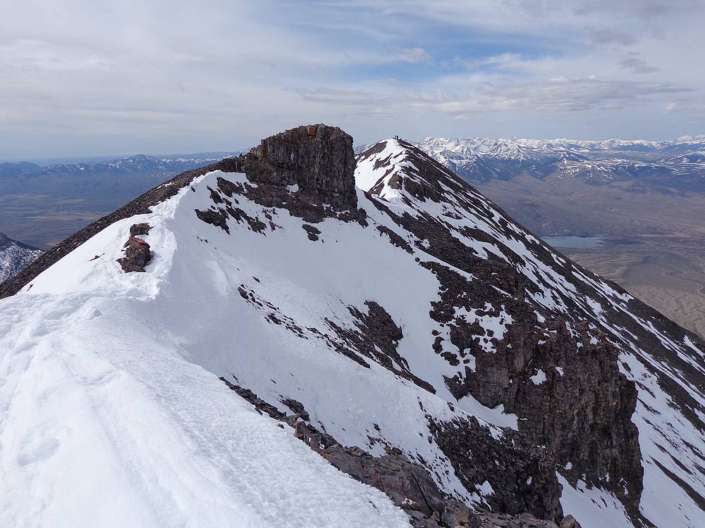
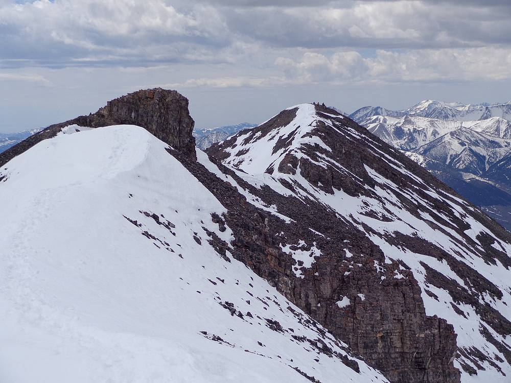
Summit ridge to the highpoint. |
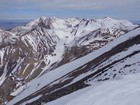
Mount Borah and friends in the distance. |
Looking back on the others still on the false summit. |
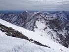
Checking out the ridge to Paragon Peak. |

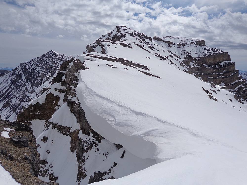
Huge cornice in the saddle below Paragon Peak. |
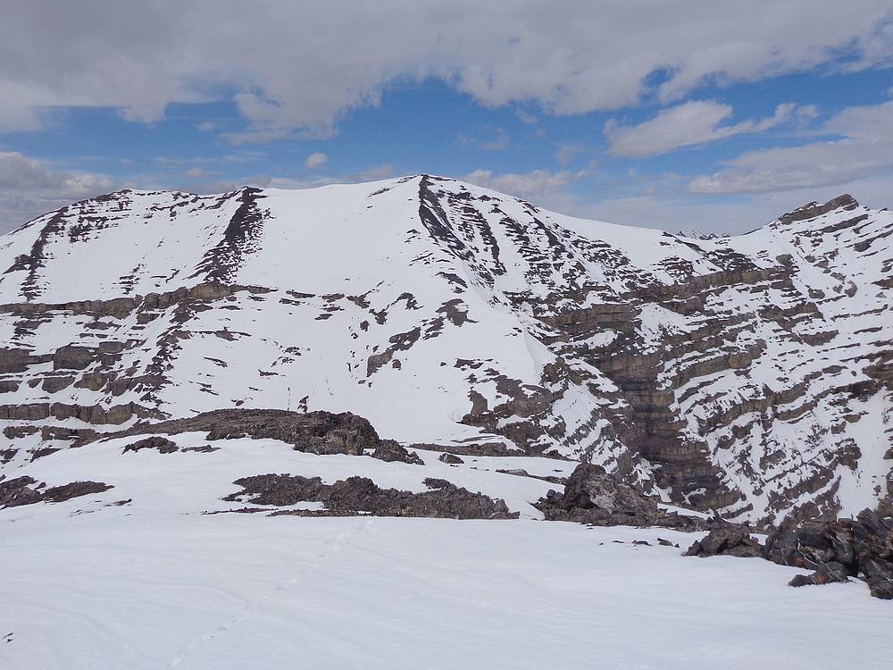
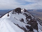
Lost River Peak from Paragon Peak. |
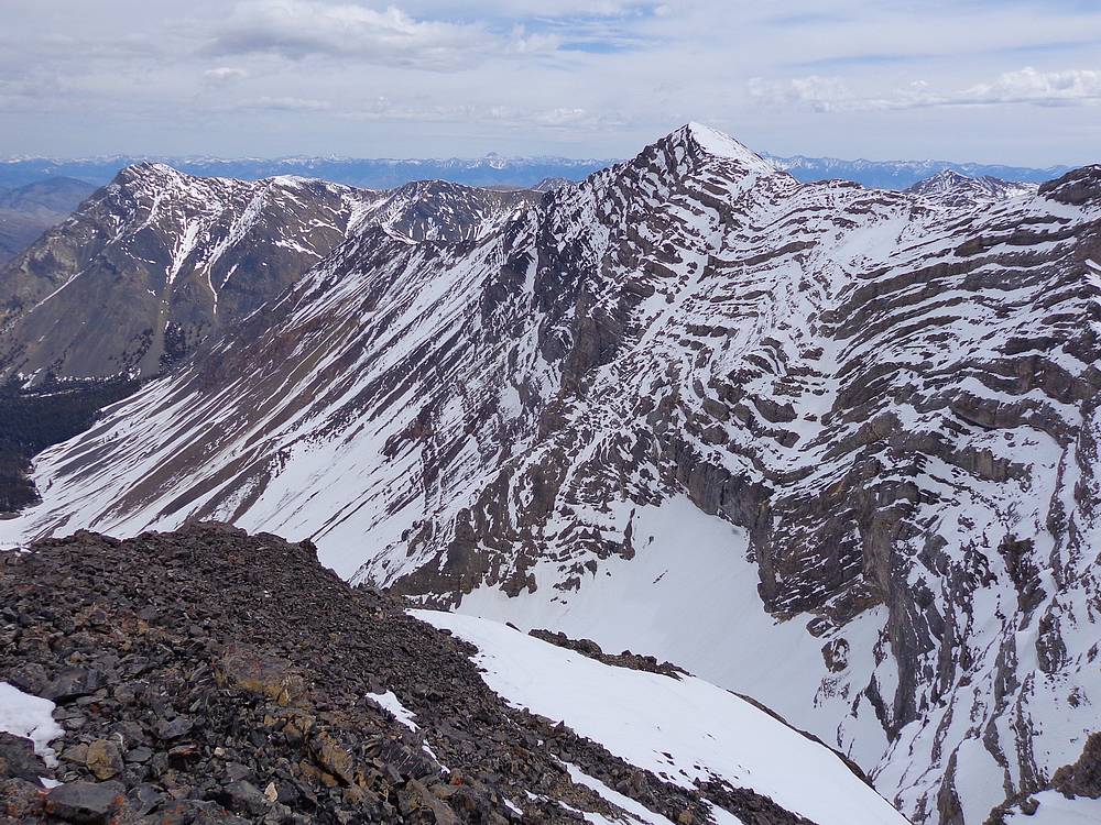
Far Away Mountain from Paragon Peak. |
Not looking forward to re-climbing back to Lost River Peak. |
Heading back to the false summit to meet the others. |
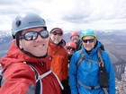
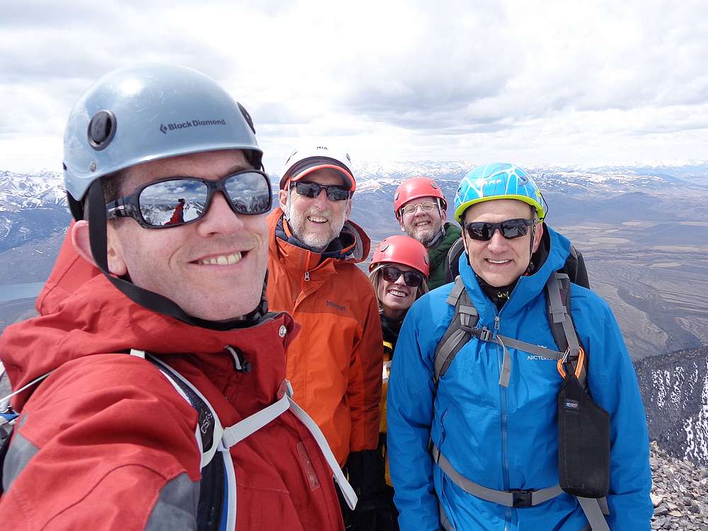
Group shot before heading down. |
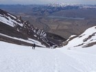
Almost ideal glissade conditions. |
At the end of the glissading, about 2000' down. |
Final descent to the car. |
|
|
|