|
Lucky Peak
Elevation 5904'
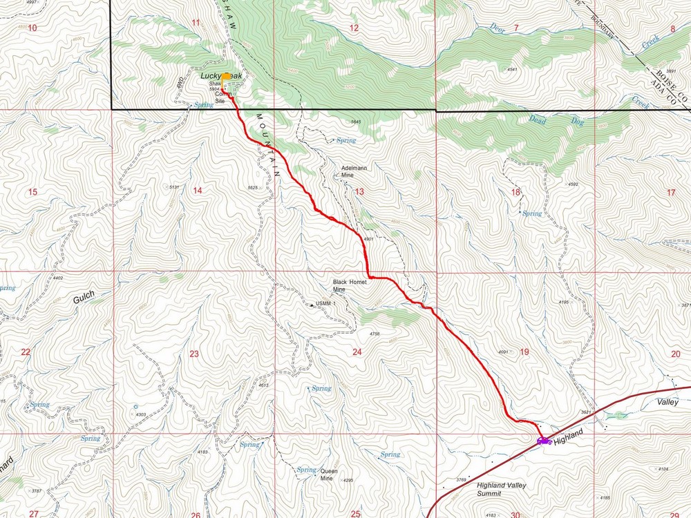
Lucky Peak, also called Shaw Mountain, is located close to Boise and is a popular destination for hikers, runners, and mountain bikers. There are numerous route options, one of which approaches from the southeast via the Adelmann Mine road. The hike starts at highway 21, at the Wildlife Management office, just north of highland valley summit.
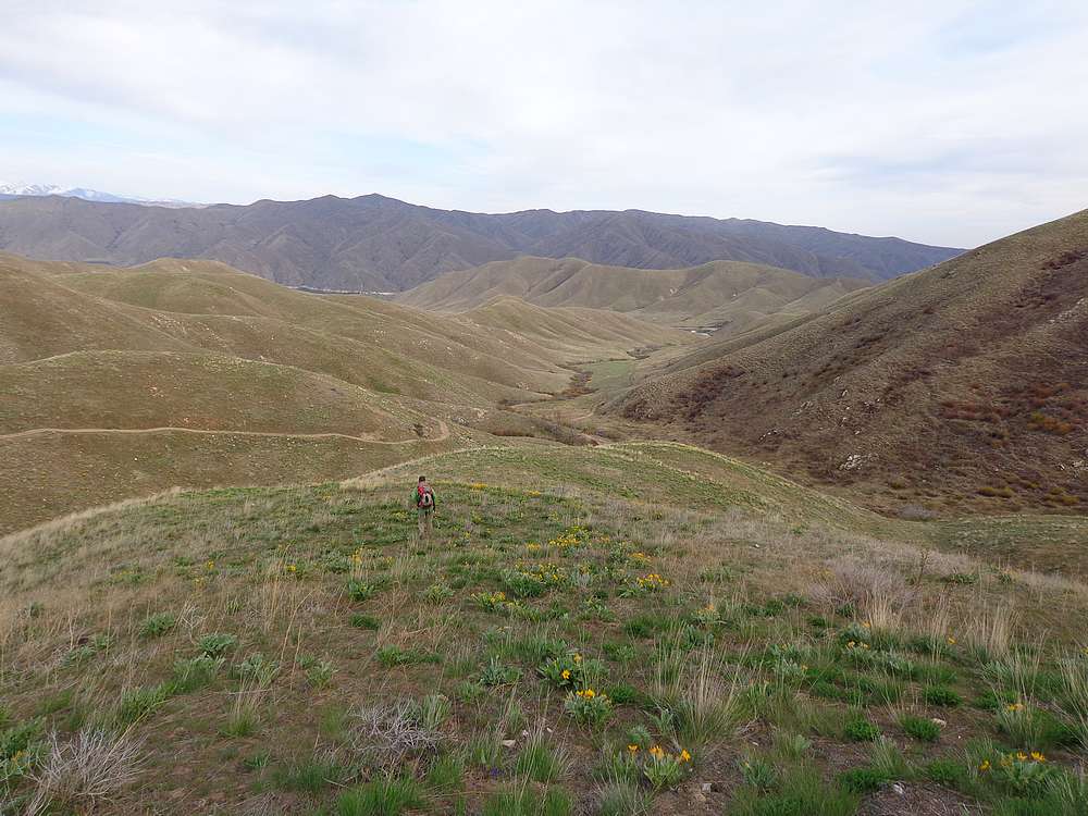
George and John R kindly invited me to join for some Friday afternoon exercise, and I snuck out of work a little early to tag along. On the way up, we followed the road for just under a mile and a half, then headed uphill cross-country just after a small creek crossing. It was steep, but the wildflowers were a good distraction as we continued up the ridge.
The Adelmann mine building came into view across from us, but we just continued up until reached the highpoint. The valley was a little hazy, but still a nice spot for a snack break. Then we just retraced the route back to the car. Round trip was just under 7 miles and 2300’ of elevation gain.
Map of the route, just under 7 miles and 2300' gain round trip. We went clockwise. |
Hiking up through the wildflowers, not long after leaving the road. |
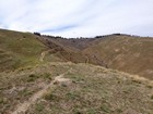
Summit on the left, Adelamann Mine building on the right. |
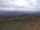
Hazy view of Boise from the summit of Lucky Peak. |
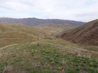
Making our way back down. |
|
|
|