|
China Ditch Trail
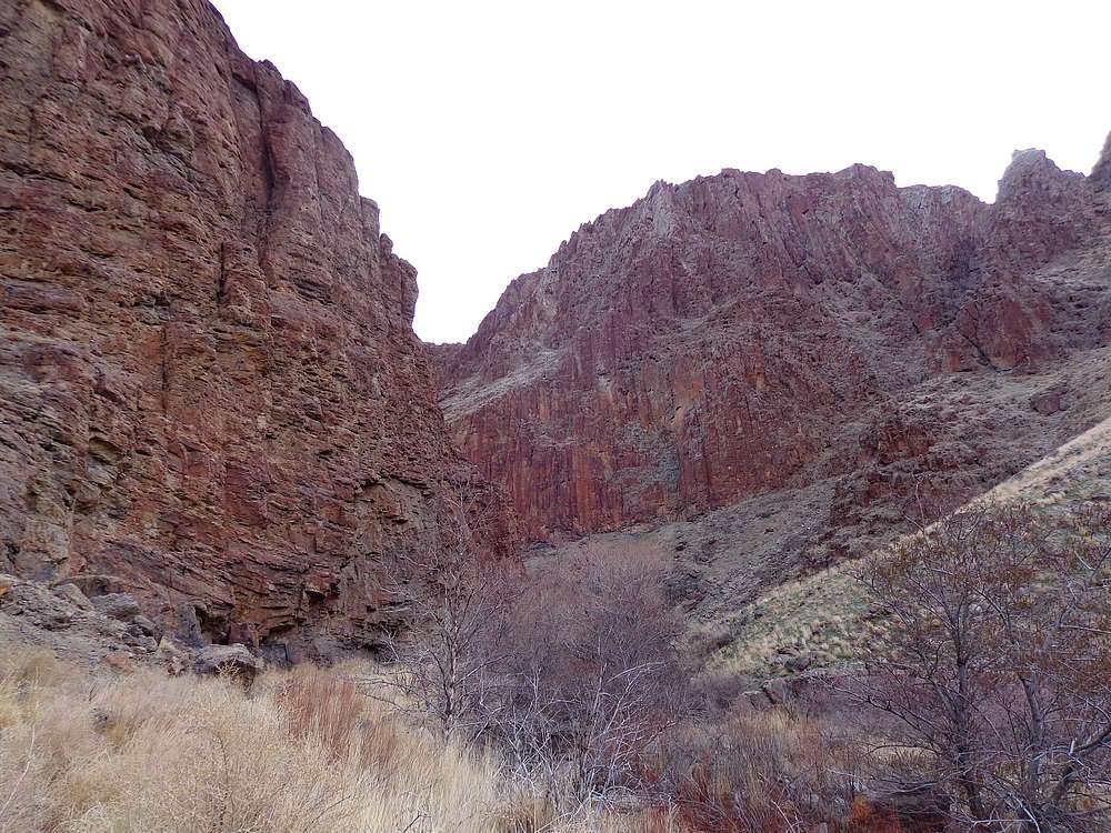
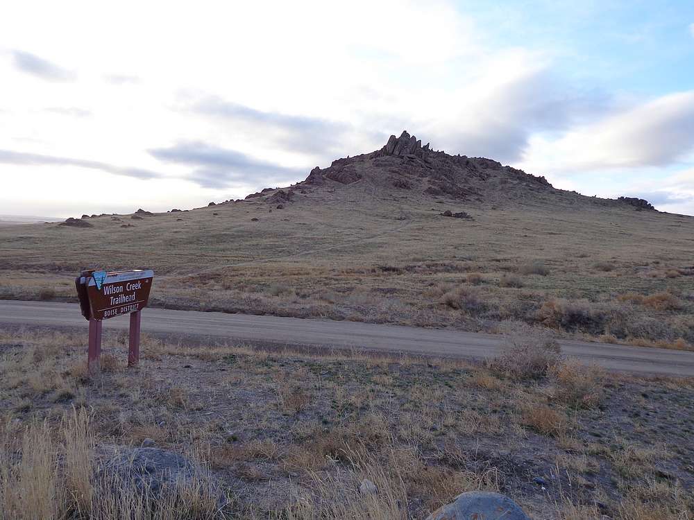
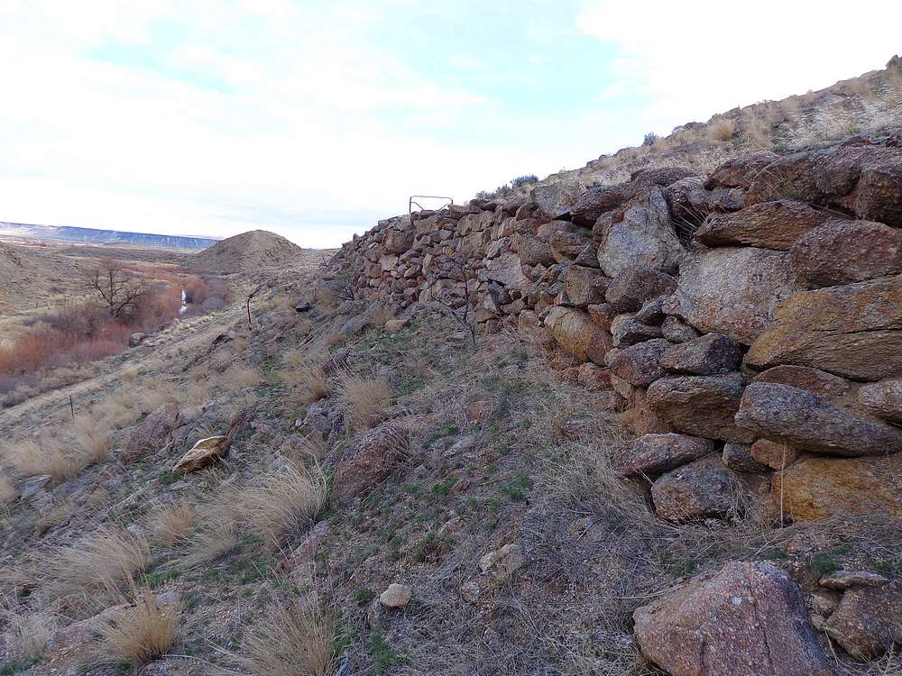
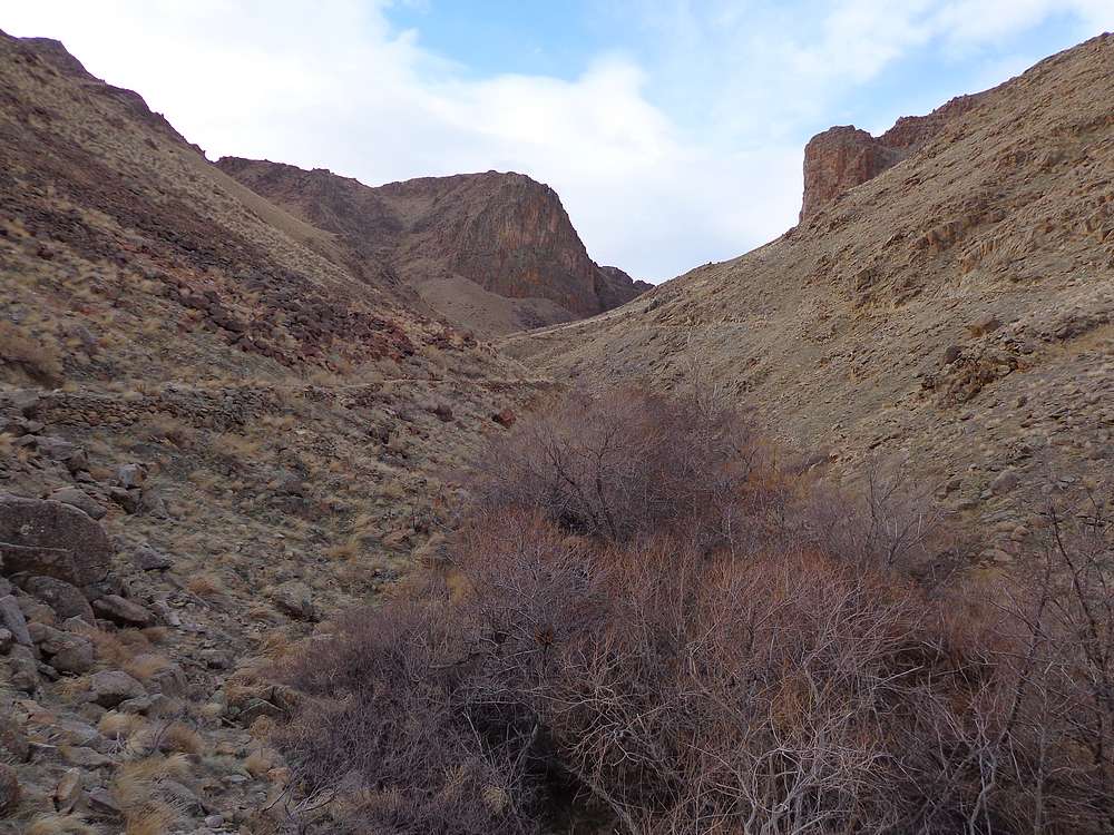
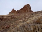
The China Ditch Trail is located in southern Idaho’s Owyhee Mountains. The trail is accessed from the popular Wilson Creek Trailhead, south of Melba. Back in the day, Chinese laborers built some impressive rock walls to divert irrigation water out of lower Reynolds Creek Canyon. The trail follows along these walls and offers up some fantastic views of the red rock rhyolite cliffs that line this section of the canyon. Keep in mind this is desert terrain, so the trail is best visited in cooler months. It’s low elevation and is often snow free almost year round.
I had a bad case of cabin fever and needed to take a hike, regardless of a snowy morning forecast. My friend Sheldon was up for the adventure, and we made the hour drive from Boise to the trailhead, and were hiking just after 8am.
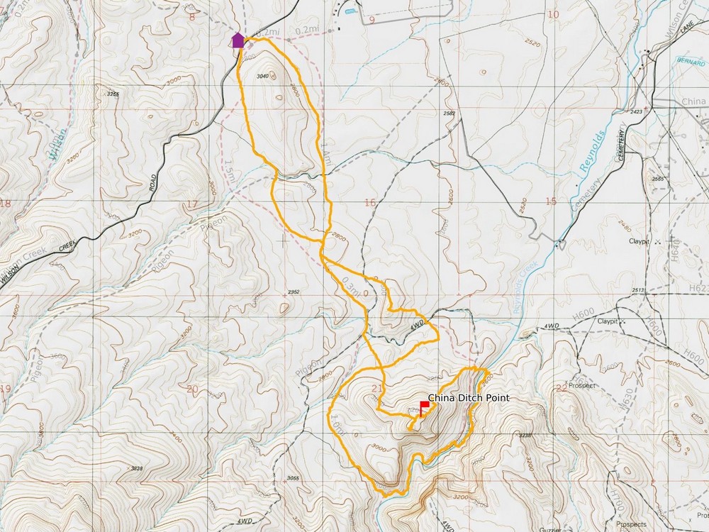
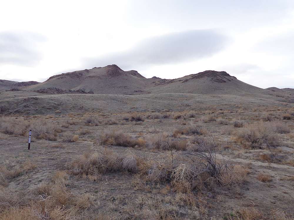
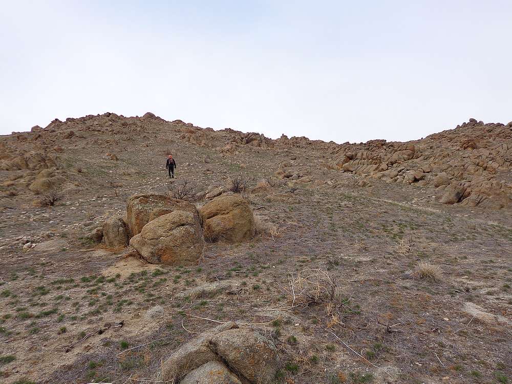
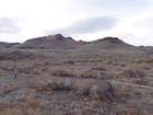
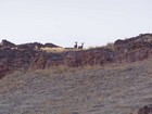
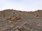
It was a crisp cool morning, but was good to be out. We covered the first two miles of flat trail, enjoying the interesting rock formations along the way. After that, we headed cross-country up a small peak (Peak 3260’, “China Ditch Point”) that stands above the canyon. On the way up, we got to watch a small group of deer cross the mountainside.
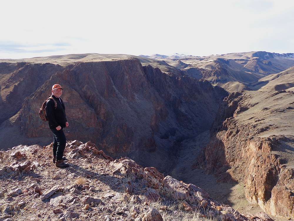
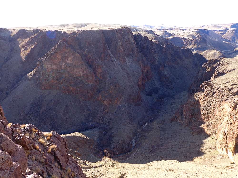
From the top of the small peak, we were treated to fantastic views looking into lower Reynolds Creek Canyon. The cliffs looked impressive, and I was excited to see them from below. We descended down the northeast ridge of the peak back to the trail, stopping briefly to watch another herd of deer. Once down to Reynolds Creek, we weighed our options and decided to cross over to the east side. In hindsight, crossing wasn’t necessary, but it added some more adventure to the day.
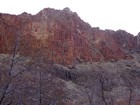
The rock walls were cool to see, and made for a nice level trail too. Soon we were in the canyon enjoying the views. The trail on the east side petered out soon enough, and we crossed back to the east side. The towering red rock cliffs above us were very cool.
After about mile of highly scenic hiking in the canyon, the trail led us back up to the open country above. On the way back to the trailhead, we enjoyed good conversation, and weren’t paying a whole lot of attention to the trails. No worries, we just ended up “taking the scenic route” in a few places.
This ended up being a really nice hike, close to home. And in spite of the forecast, the weather ended up being pretty decent. Round trip was just under 9 miles, and 1900’ elevation gain in 4 hours of hiking. (Note, the standard hike, without peak, is 7.5 miles and 750’ gain.)

Map of our wandering route. 9 miles and 1900' gain round trip. |

Leaving Wilson Creek Trailhead. |
First view of our peak. |
Deer on the lower slopes of the peak. |
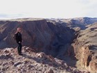
Enjoying the views from the summit. |

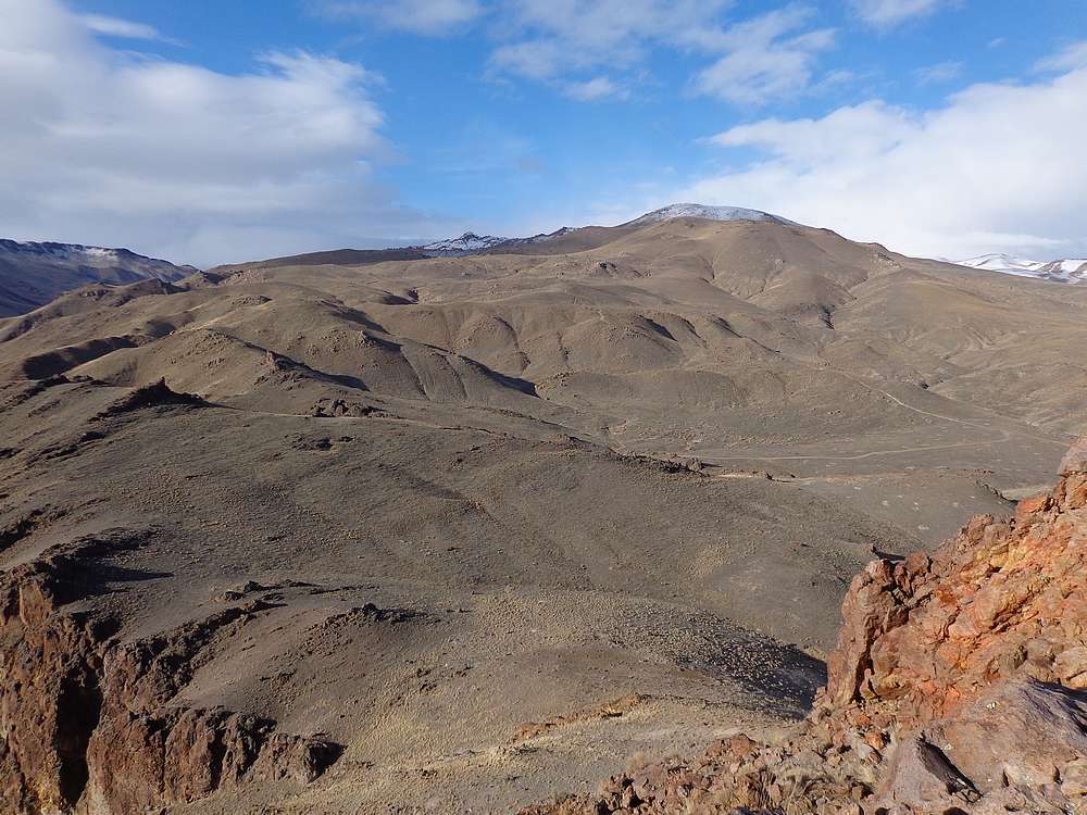
Soldier Cap and Wilson Peak from "China Ditch Point". |
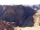
Looking down into Reynolds Creek Canyon. |
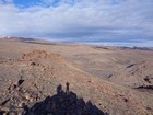
View back toward the trailhead. |

On the summit. |
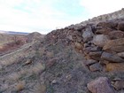
Impressive rock walls. |

Heading up the canyon. |
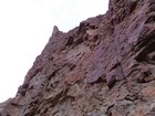
Interesting rock formations. |
Red rock rhyolite cliffs. |
The trail runs right below these cliffs. |
Taking the scenic route back to the trailhead. |
|
|
|