|
Wood Creek Peaks
The Soldier Mountains are located in central Idaho near Fairfield. The southwestern foothills of the range are home to several small peaks that are very accessible and provide good views of the rest of the range, as well as the Camas Prairie to the south. Two such peaks are located near Wood Creek, with easy access from Forest Road 61 leading to Pine/Featherville.
After some short notice planning the night before, and just over an hour of driving from Boise, Michael and I found ourselves looking for a place to park within striking distance of our peaks. Eventually, we settled on a wide spot in the road near Wood Creek. From there, we donned our snowshoes and headed out into the snowy sagebrush terrain. It was cold, but sunny and clear.
Our first objective was nearby Peak 5915’ “Wood Creek Point”. It was close to the road and a short hike. Although the rocky summit was a little tricky on snowshoes. From here we had good views of the Camas Prairie, as well as Wood Creek Mountain to the northwest, which was our next objective.
From Wood Creek Point, we descended to the northwest, and intersected an access road which we planned to follow westward for a while. But after a short distance, we reached a gate that was signed “No Trespassing”. Time for a change of plans! I had remembered seeing another small peak due north of us. So we checked out the map and it looked reachable, so off we went.
We followed an undulating ridge to the north, and made it to the summit of Peak 5984’ “Wood Creek Peak” after a couple miles of snowshoeing. The peak itself wasn’t particularly interesting, but the views were great in all directions. It was pretty windy on top, so we dropped off the side a bit to stop for a snack and to enjoy the views. For some reason, the views seem crisper in the winter, and it was a beautiful scene.
On the way out, we went back down the ridge until reaching the earlier mentioned road. We decided it would be easier to follow that back to the highway instead of re-climbing our first peak. All in all, not a bad day of improvisation. Round trip was just under 6 miles and 1400’ of elevation gain in four and a half hours of snowshoeing.
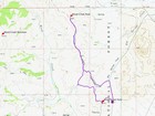
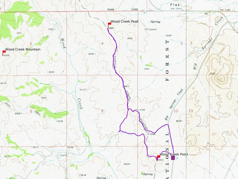
Map of the route, just under 6 miles and 1400' gain round trip. |
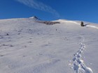
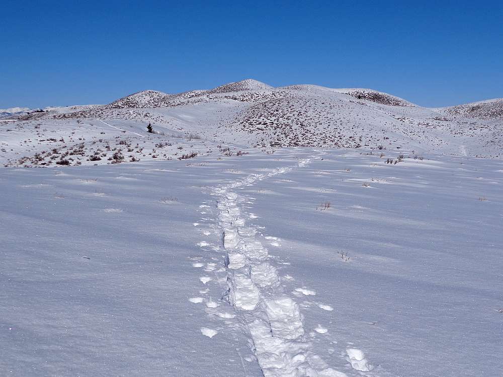
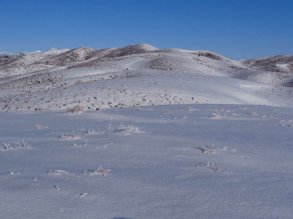
Heading up our first peak, "Wood Creek Point". |
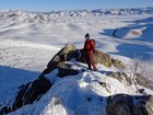
On the summit of Wood Creek Point. |
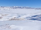
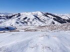
Wood Creek Mountain, northwest from Wood Creek Point. |

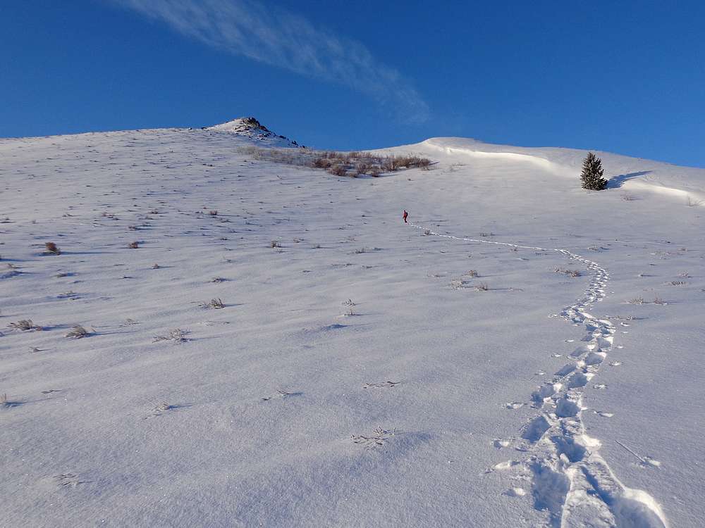
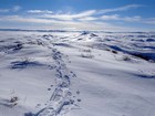
Making our way toward "Wood Creek Peak", our second summit of the day. |
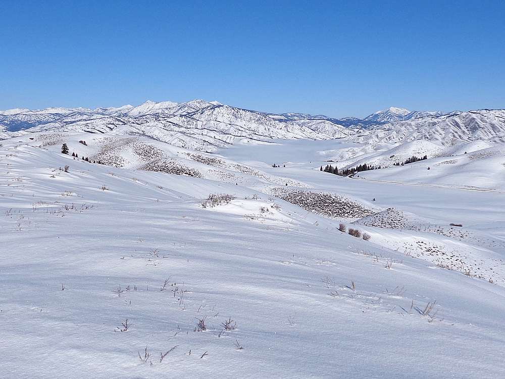
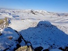
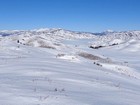
Smoky Dome and the main Soldier Mountains from Wood Creek Point. |
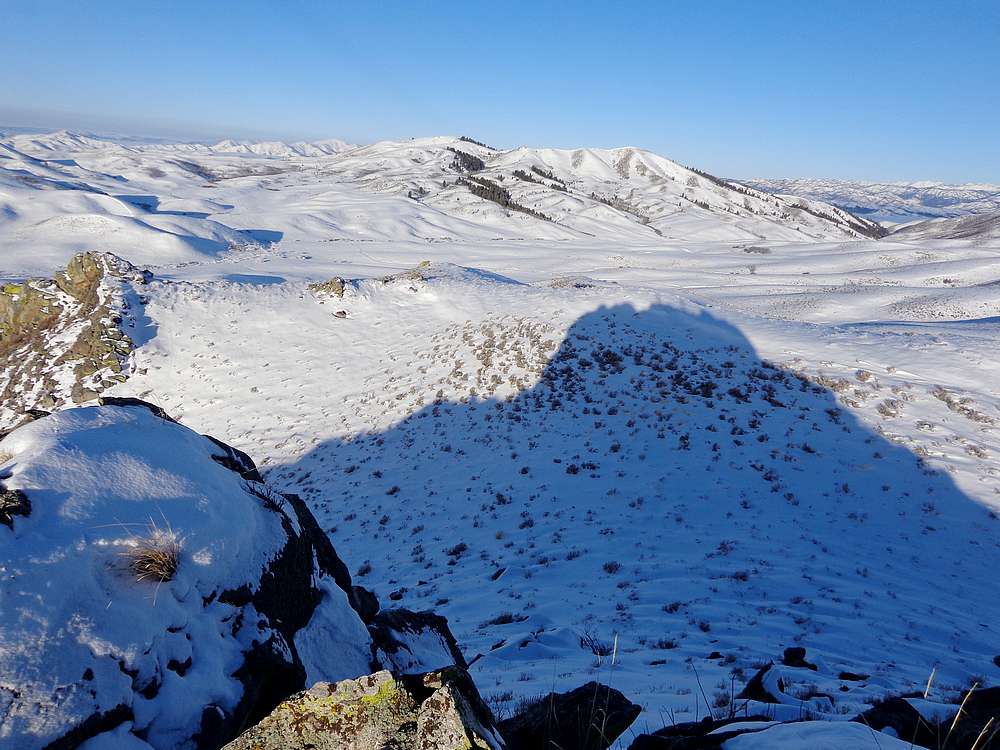
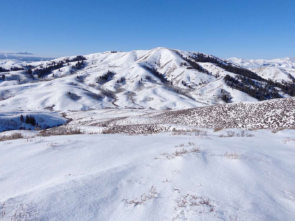
Trinity Mountain and Jumbo Mountain from Wood Creek Peak. |
Wood Creek Mountain, west from Wood Creek Peak. |
Looking back on Wood Creek Point from Wood Creek Peak. |
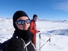
Wood Creek Peak summit shot. |
|
|
|