|
Squaw Butte
A nice hike, not too far from home.
Squaw Butte is located near Emmett Idaho, and stands prominently over the Treasure Valley. Technically, it is at the far southern end of the West Mountains. But this is high desert terrain which is much different that the forested mountains that make up much of the northern part of range. There are actually three different peaks that make up Squaw Butte, all of which are pretty easily accessible. But to add confusion, there is a lookout tower on the far southern end of the ridge that isn't one of the three highpoints..
I had the day off work, but didn’t want to drive too far. I’d been curious about Squaw Butte for a while and figured it would be a good destination. So after a morning dentist appointment, I made the drive through Emmet and up to road to my “trailhead” by about 10:30am. I parked at the saddle to make for a more sporting hike, and then headed up the dirt road.
After passing the radio facility, I headed downhill for a bit, and then up “South Squaw Butte” (Peak 5894’). Earlier in the day, the rolling hills made it hard to identify the other highpoints, but I now had a good view to make out the other two summits.
The next objective was Squaw Butte proper. Instead of dropping back down to the trail, I stayed higher up and went cross-country toward the northwest. After reaching the southern end of the ridge, I did some fun rock scrambling before reaching the top (5896’). I decided this was a good place to enjoy the views and have my PB&J.
Up next was North Squaw Butte (Peak 5626’). I could see it in the distance, and started heading down the ridge. Soon enough, I decided to drop back to the road/trail to avoid brush, and followed it around to the southeast side of the peak, where I followed a fence line up the hillside. There was some light scrambling just below the summit of North Squaw Butte. On the way back, I backtracked down to the road, and followed it all the way back to my car.
It was good to be out hiking, although I’d say this one is better done in the spring when the grass is still green. Round trip was about 8 miles and 2300’ of elevation gain in just over 4 hours.
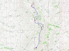
Map of the route, 8 miles and 2300' gain round trip. |
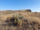
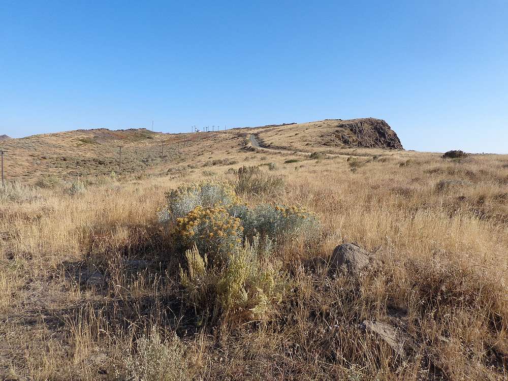
Start of the hike, from where the road reaches the ridge. |
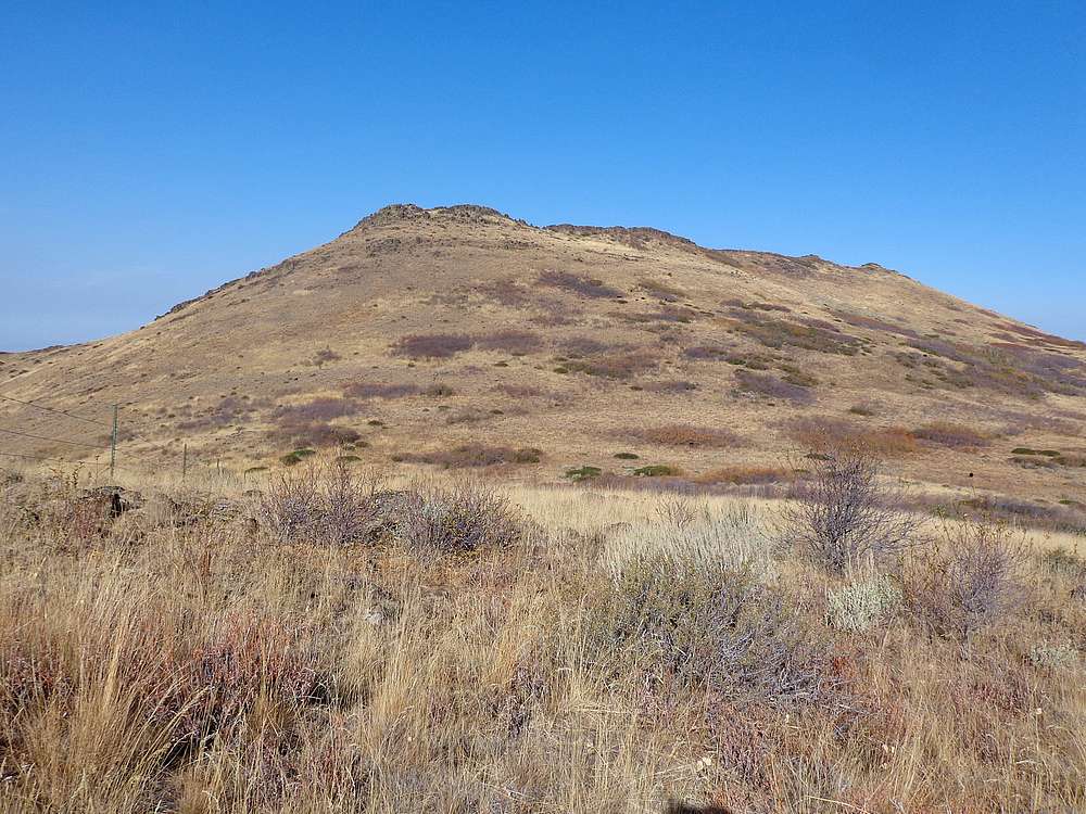
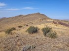
Squaw Butte and South Squaw Butte from the approach. |
Nearing South Squaw Butte. |
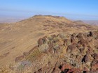
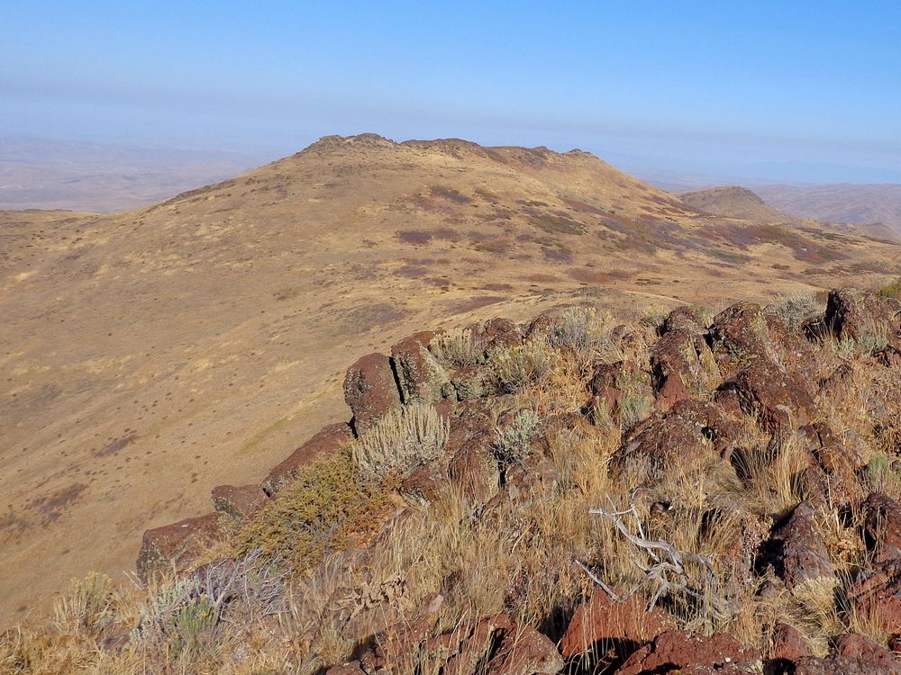
Squaw Butte from the summit of South Squaw Butte. |
About to head up Squaw Butte from the southeast. |
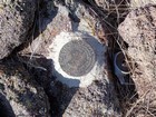
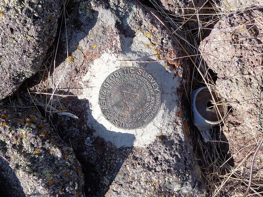
Squaw Butte summit marker. |
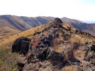
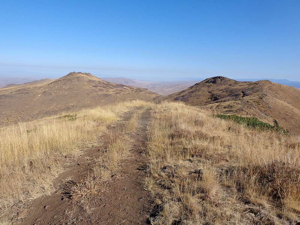
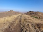
Looking back from Squaw Butte. |
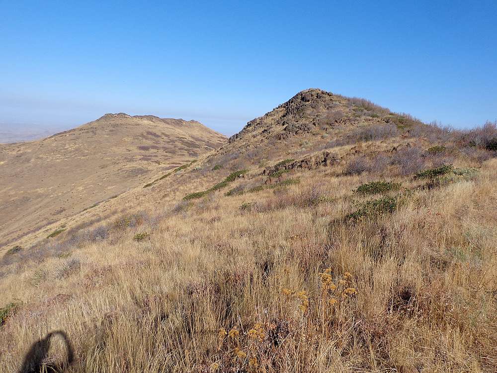
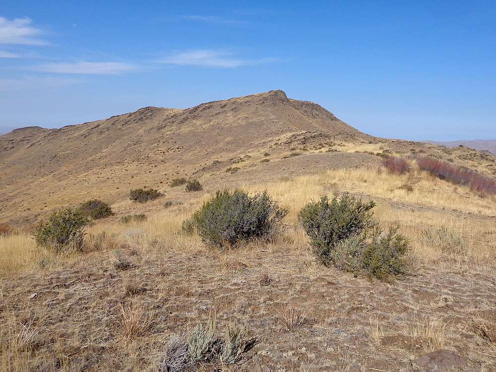
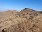
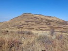
North Squaw Butte from the southeast. |

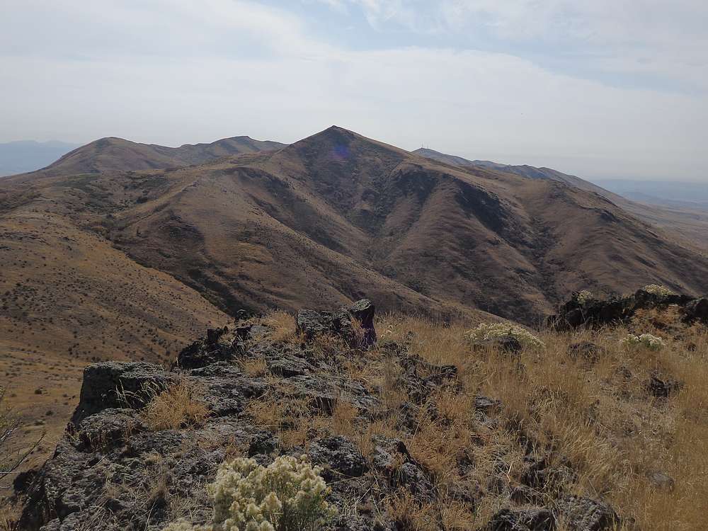
Squaw Butte from the summit of North Squaw Butte. |
|
|
|