|
Horton Peak Traverse
Horton Peak is located in the southwest corner of the White Clouds, overlooking the southern end of the Sawtooth Valley. There is a well-used trail that climbs up to the fire lookout on Horton Peak. It is also possible to continue from there and summit 3 other peaks in the process.
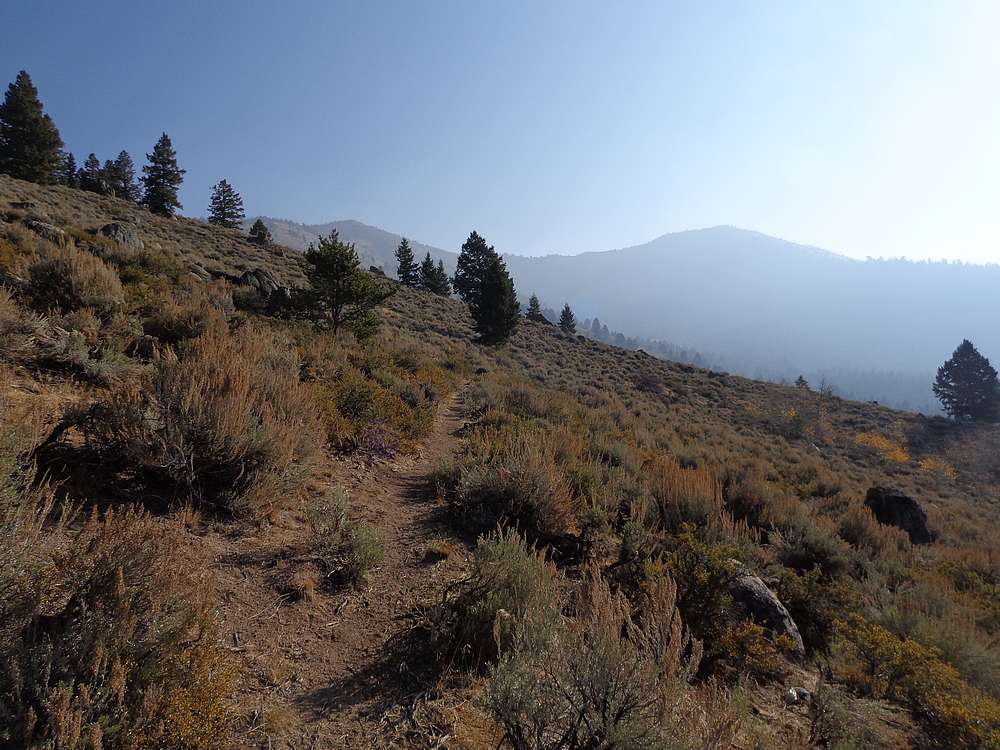
Sean and I decided to park on Valley Road at the start of the road to Horton Peak. This would let us avoid uphill hiking at the end of the day during our planned loop hike. Hiking the road to start was a good warmup before hitting the steeper trail to Horton Peak.
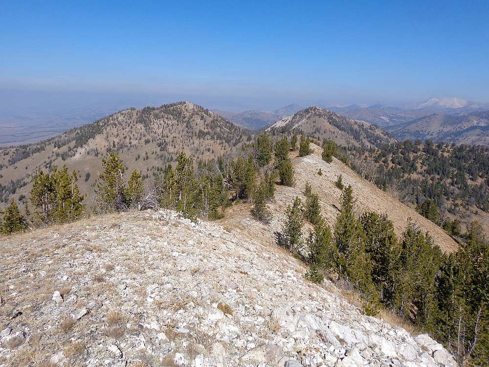
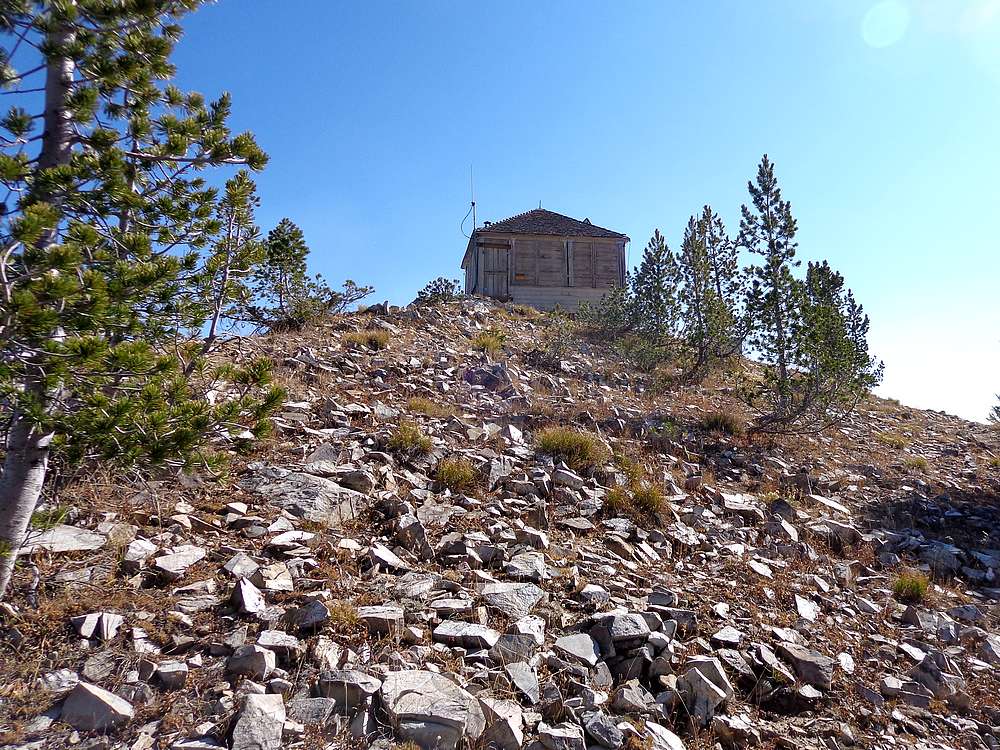
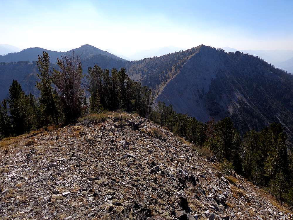
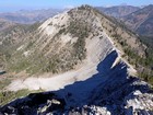
The trail the Horton Peak gains 2800’ in about 3 miles of hiking, so we were ready for a lunch break once we reached the summit. After some food and time spent soaking in the views, we started along the ridge to “South Horton Peak” (Peak 9928’). It ended being an easy walk, with a goat trail most of the way. Being our highpoint of the day, we enjoyed some great views before making our way back along the ridge to Horton Peak.
Our next objective was “North Horton Peak” (Peak 9868’). We had a good view of it from Horton Peak, and it was just a matter of making the careful 400’ descent from Horton, then up the ridge to North Horton. Since North Horton is situated a little deeper into the range, we had some great views of Castle Peak and some of the other impressive peak in the heart of the range.
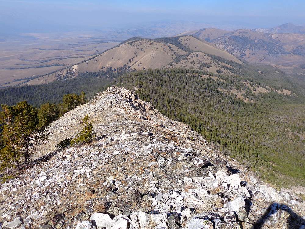
From North Horton, next up was Peak 9274’. (I decided to nickname this one “Red Top Peak” due to some noticeable red rock near the summit.) So down the ridge we went. Eventually it became forest with limited views for navigation. We just tried to stay on the highest part of the gentle ridge and eventually reached the saddle. From there it was up toward Point 9058, and finally to the summit.
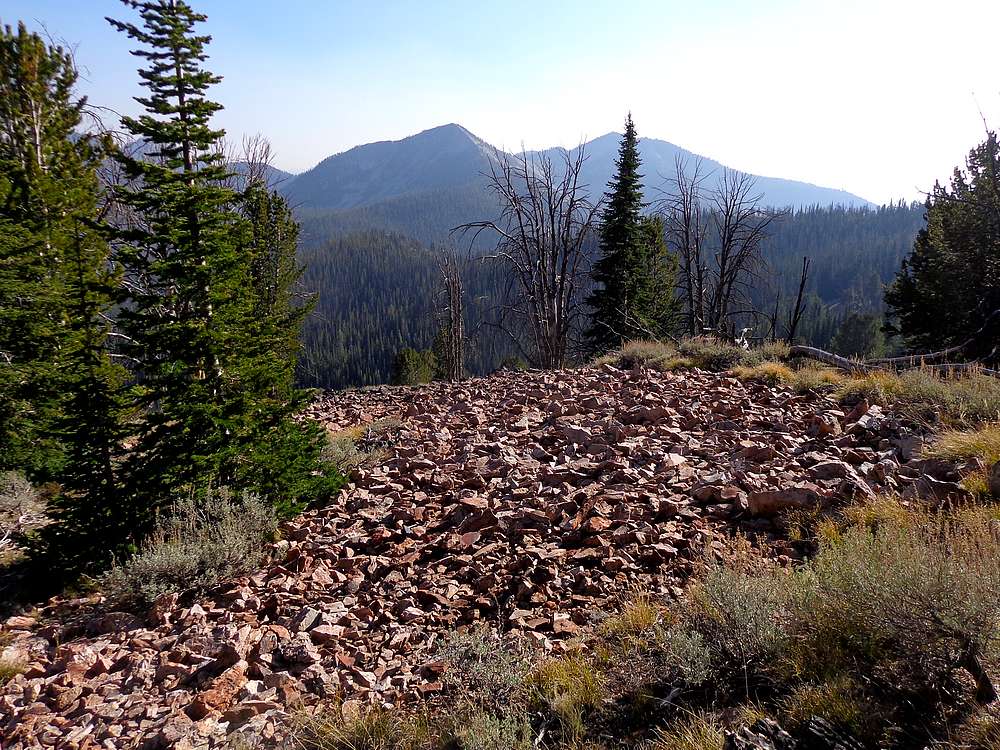
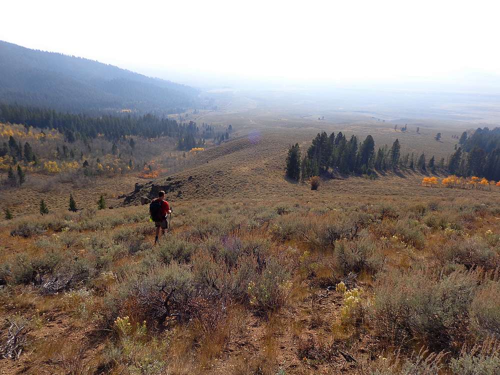
Nothing too exciting about Red Top Peak, but it was our fourth summit of the day, so still something to celebrate as we had a snack and a quick rest break. From here, we headed west down through the trees until the Sawtooth Valley came into view down below us. We made our way down sagebrush slopes to the top of the jeep trail shown on USFS maps. Once on the jeep trail, we followed it down for a while, navigated around some private property I’d researched beforehand, and then to Valley Road and back to the car.
What a great day on the mountains. Sean and I summited four peaks in some uncharted (to us) territory. Round trip was just over 13 miles and 4900’ of elevation gain in 7.5 hours round trip. Good times!
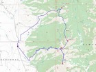
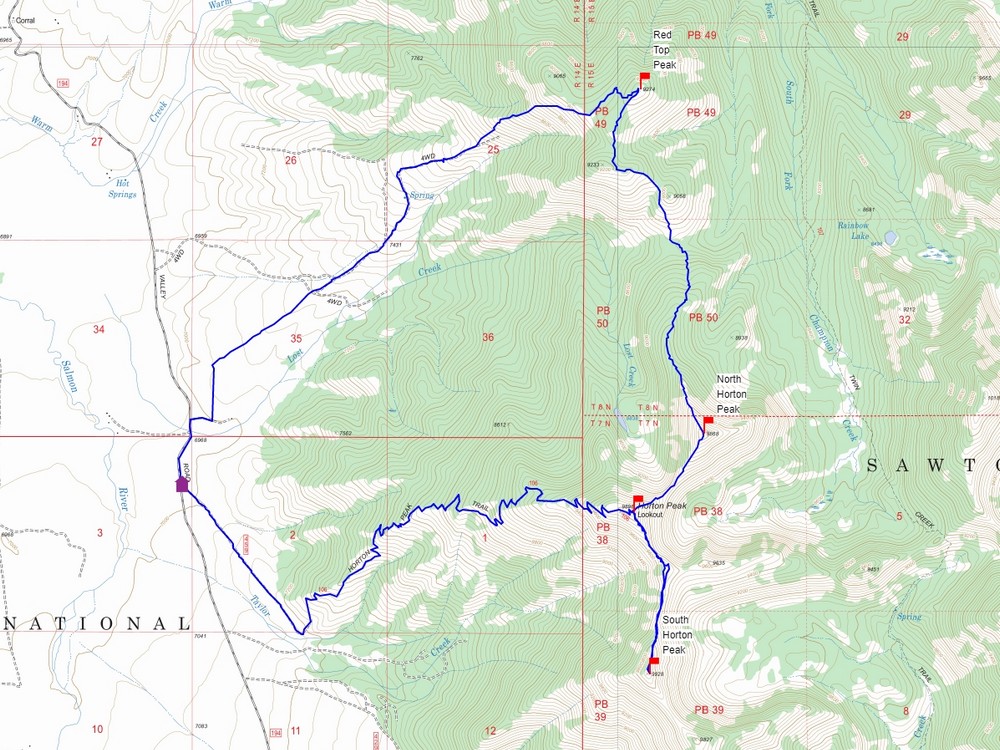
Map of the route, 13 miles and 4900' gain round trip. |
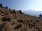
A little smoky on our way up the Horton Peak Trail. |
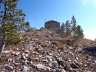
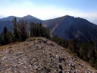
Fire lookout on the summit of Horton Peak. |
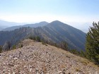
The ridge to South Horton Peak. |
North Horton Peak from Horton Peak, DO Lee Peak and Castle Peak in the distance. |
South Horton and Horton from North Horton Peak. |

Looking north toward "Red Top Peak" from North Horton. |

North Horton and Horton from Red Top Peak. |
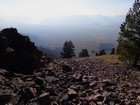
Descending into the valley, with the Sawtooths obscured by smoke. |
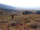
Making our way back down. |
|
|
|