|
Avalanche Peak and The Cross are two unofficially named peaks that lie just north of Galena Summit, on the southwest edge of the Boulder Mountains above Ketchum. In spite of the ominous name, the terrain around these peaks is home to some of the safest and most popular backcountry skiing in the area. It also makes for a safe and easy snowshoe hike that puts two peaks in easy reach, just stay off the skin tracks…
I was in the mood for one last snowshoe climb for the season, but couldn’t find any hiking partners, so I needed something safe since some recent storms had created “considerable” avalanche risk. I settled on The Cross and Avalanche Peak because of the mellow terrain and hopes for some great views. After about a 3-hour drive from Boise, I hit the trail at just after 9am. A gal at the trailhead asked if I’d be willing to carry a small GPS as part of a wolverine study they were doing. Sure, no problem.
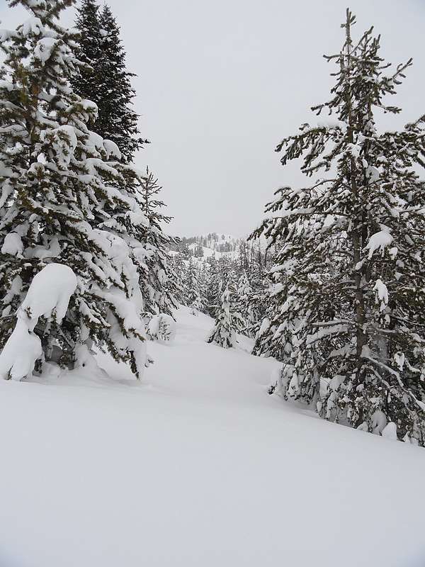
From the pullout on highway 75, I headed northwest through fresh powder and snow covered trees. It was cold and the wind was blowing, but I still warmed up quick. I followed the gentle and open southwest ridge of The Cross (9225’). Unfortunately views were minimal due to cloud cover and lightly falling snow. The summit of The Cross was windblown and corniced. I was able to see Avalanche Peak (9433’) in the distance and made a quick descent to the saddle to the north. This area was very pretty with many snow covered trees and snags dotting the landscape. I continued onward through the powder, taking the scenic route winding through the trees, staying well away from the skin tracks broken in by skiers. At one point I did see a skier making his turns coming down the ridge, the only person I saw all day.
Once on the summit of Avalanche Peak, the wind began picking up, and there were still no views, so I didn’t stay long. To get back to the car, I backtracked along the trail I’d already broken, enjoying the winter landscape. A very nice morning in the mountains. It took me about 3 hours to cover 3.5 miles round trip and 1400’ total elevation gain.

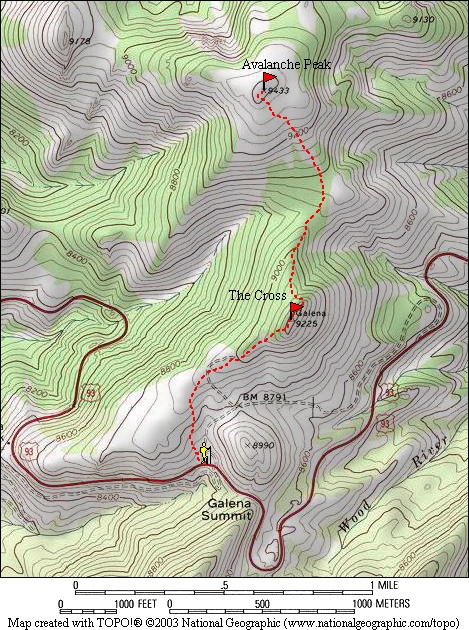
Map of the route, 3.5 miles with 1400' elevation gain round trip.
|
A view of The Cross in the distance.
|
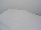
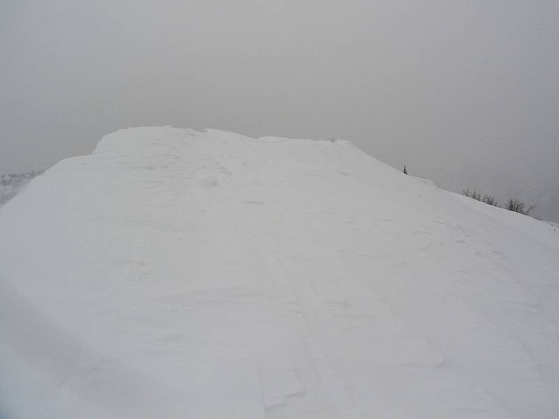
Cornice covered summit of The Cross.
|
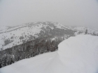
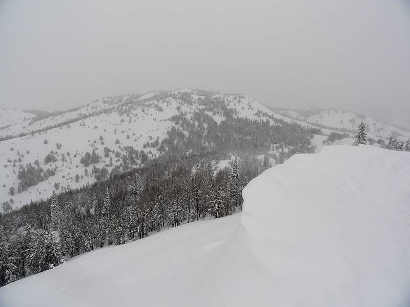
Avalanche Peak from The Cross.
|

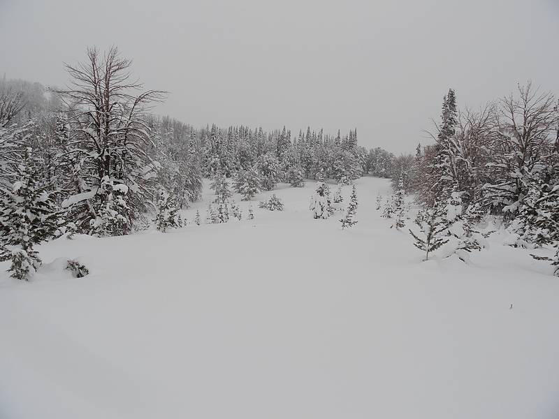
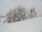
Typical terrain between the two peaks.
|
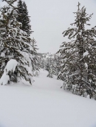
Snowy snags on the way up Avalanche Peak.
|
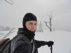
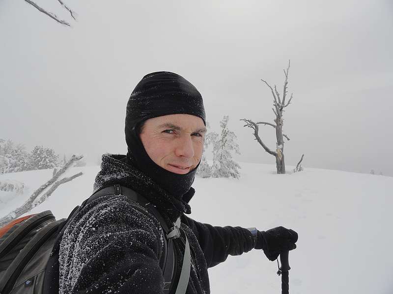
Avalanche Peak summit shot.
|
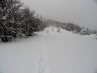
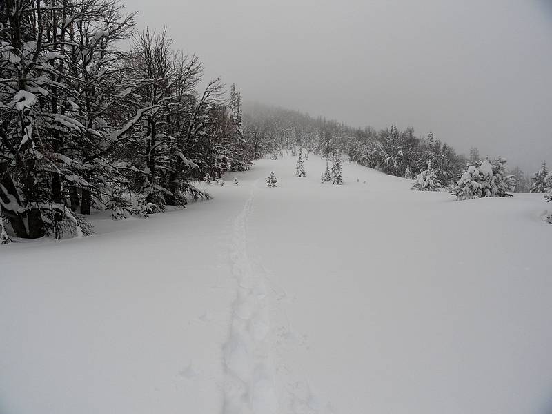
Following the path back to the car.
|
|