|
Sheephead Peak and Invisible Mountain
Invisible Mountain and Sheephead Peak are a pair of 11’000 summits located in the Lost River Range of eastern Idaho. They are the first two 11ers west of Pass Creek. The peaks can be combined into a single day outing, with the most straightforward approach coming via Swauger Gulch.
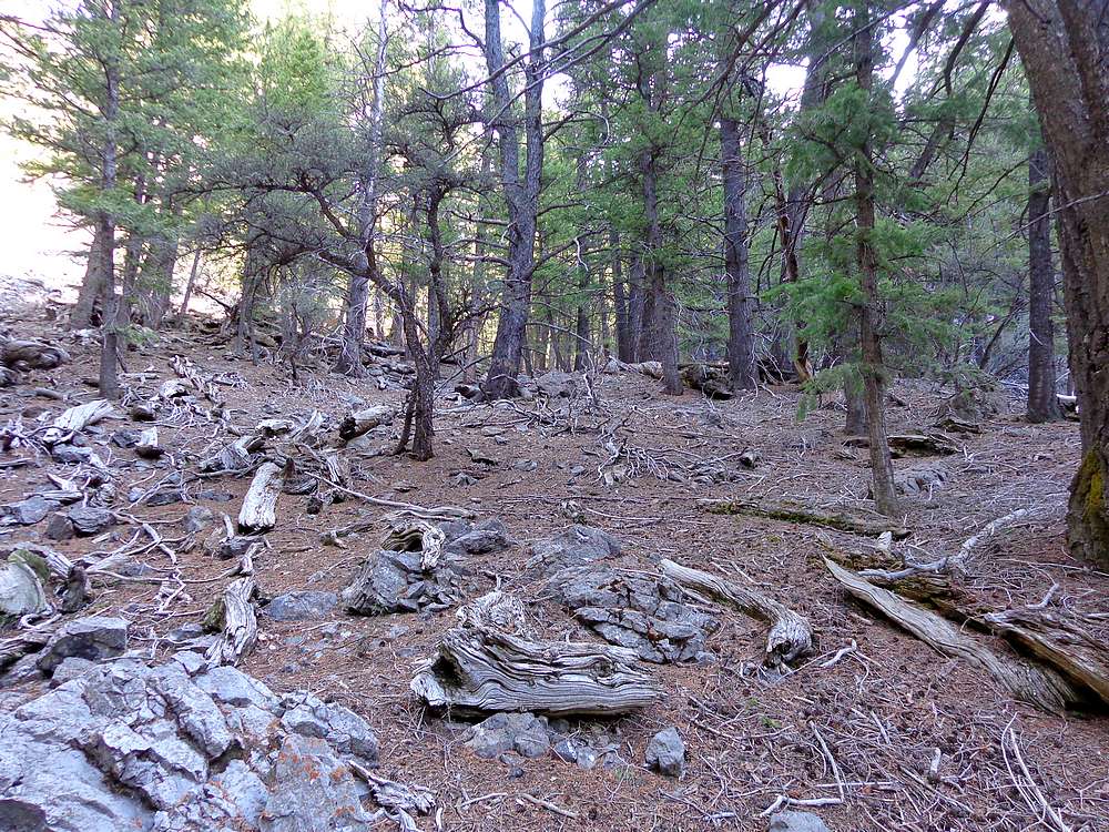
After leaving Boise at 5am, Sean and I navigated the jeep road to its end at Swauger Gulch, and started hiking just before 9am. We made our way up the steep slopes at the start of the hike, wandered through thickets of mountain mahogany, and up the valley.
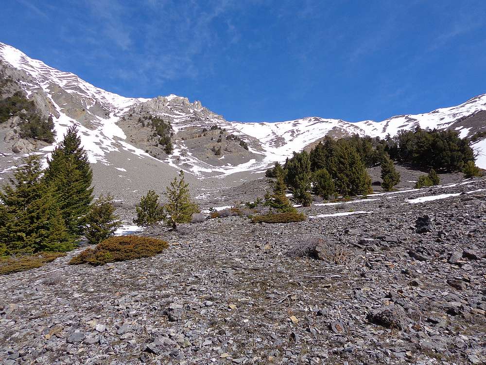
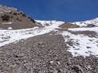
It took around 2 hours of hiking before we emerged from the trees and the upper valley came into view. We had some talus to deal with, but good conversation and hunting for fossils kept us distracted. Soon enough we reached snow and faced a decision at 9400’. Should we continue toward the saddle and risk extensive post-holing, or take a more direct route up slightly less snowy terrain to reach the west ridge of Sheephead Peak? We decided, when in doubt, avoid post-holing! So up we went, even though we didn’t know for sure what the ridge would have in store for us.
We made our way slowly up toward the west ridge. The climb included a sudden snowstorm, some steep snowshoeing, and a few scramble moves. When we finally gained the ridgeline, we were greeted with bi-directional overhanging cornices as the first obstacle. So we elected to drop slightly to the south for a while, then regain the ridge after the cornices.
The west ridge of Sheephead Peak is no gimme. At no point along the way did we know for sure it would work out, but we just took one step at a time, and gradually made our way to the base of the summit block. Then we climbed some grippy limestone slabs up to the summit plateau, and took a well-deserved rest while eating some snacks and enjoying the views.
Climbing Sheephead had taken longer than planned, and it was now almost 4pm. Even with the late hour, there was little question about whether or not to continue to Invisible Mountain. Another 11er that close was just too irresistible.
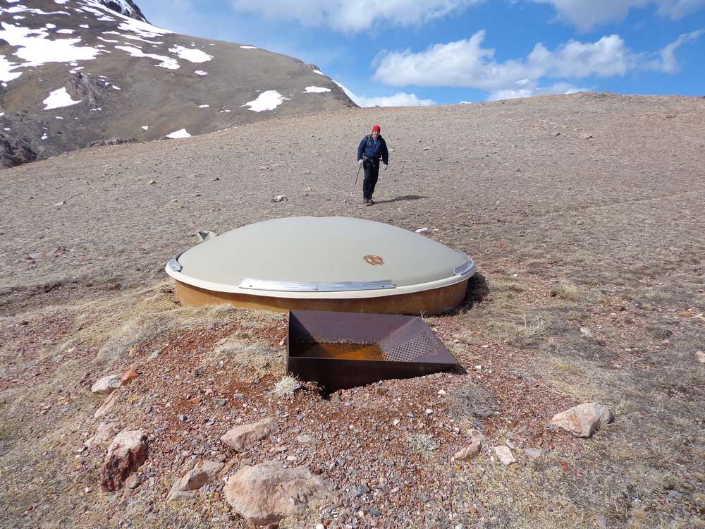
From Sheephead Peak, we descended southeast to the saddle. Here we found a wildlife guzzler, and checked that out for a while before starting the climb up Invisible Peak. There were no major obstacles other than tired legs, and we made it to Invisible by 5:30pm. The views were great, and the north face of the peak was impressive, but we didn’t linger long since it was getting late.
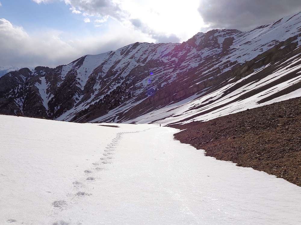
On the way down, we briefly considered taking a shortcut down the steep gully west face gully on Invisible. But decided it would more prudent to take the safer option and backtrack to the saddle before descending. Next we donned snowshoes to make our way down a steepish snowfield, and then across the snowy upper valley. Once back to the 9400’ decision point, we just retraced our path back to the trailhead.
We arrived back at the trailhead just before dark. Round trip was just under 9 miles and 5400’ of elevation gain. Our slow and careful route-finding along the ridge made for almost 12 hours total on our feet. Add in drive time, and we had a 20 hour day, doorstep to doorstep. It felt good to get out for a challenging climb with a great friend. And now time for some sleep!
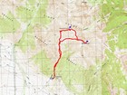
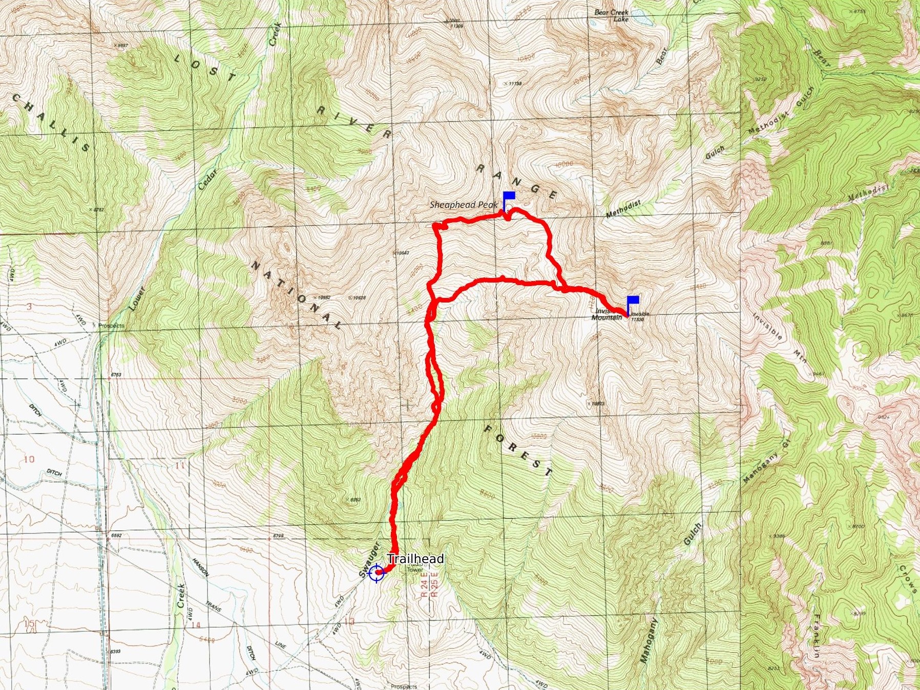
Map of our route, 9 miles and 5400' gain round trip. |
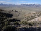
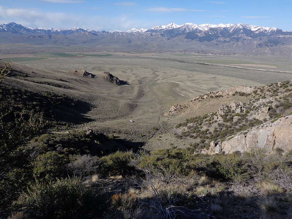
Early view back on the trailhead at Swauger Gulch. |
Dry lakebed shown on map. |
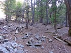
Wandering through the forest. |

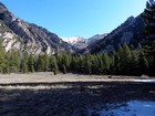
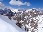
The views starting to open up. |
Avalanche debris. |
Sudden but brief snowstorm. |
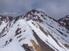
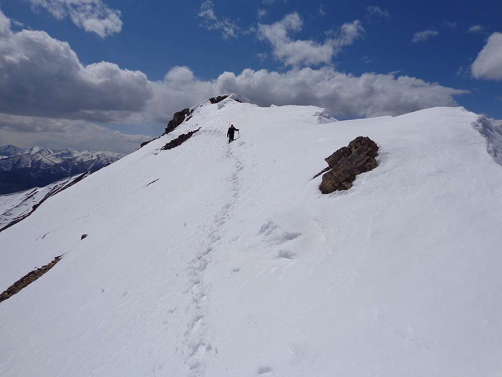
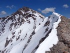
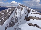
The west ridge of Sheephead Peak is no gimme. |
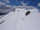
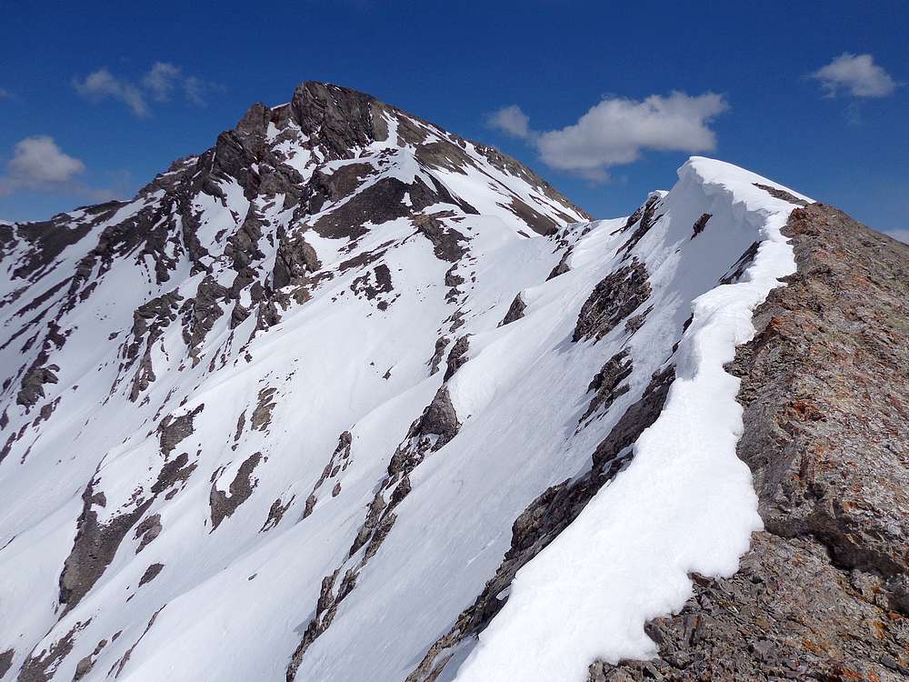
Traversing the ridge. |
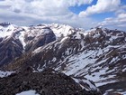
Looking north into the Lost River Range. USGS Peak and Wet Peak. |
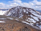
Final stretch of ridge to Sheephead Peak. |
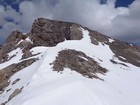
Sheephead Peak summit block. |
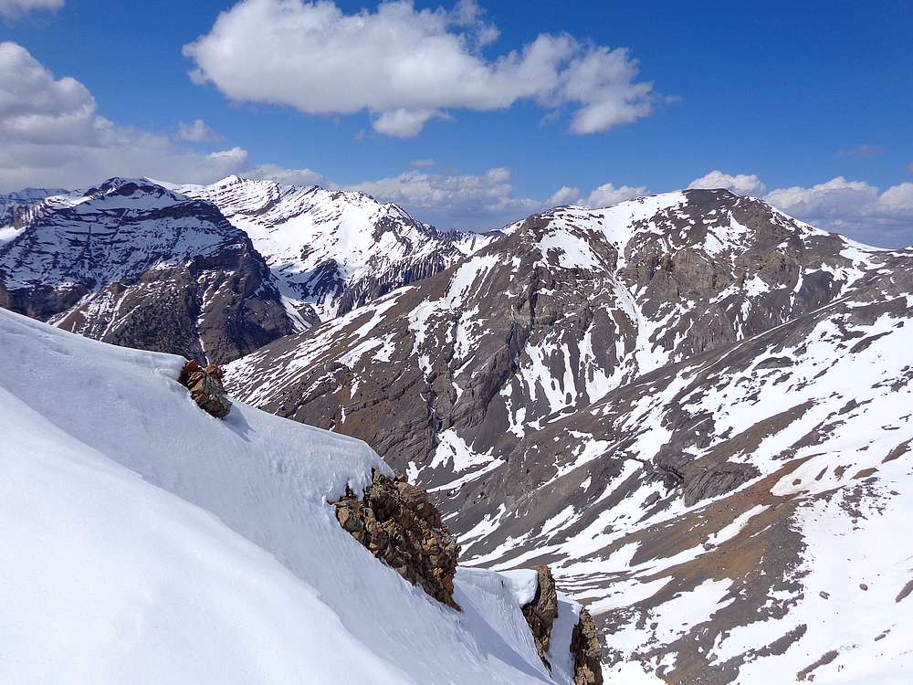
Summit view from Sheephead Peak looking north. |
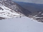
Heading toward Invisible Mountain. |

Checking out the guzzler in the saddle between Invisible and Sheephead. |
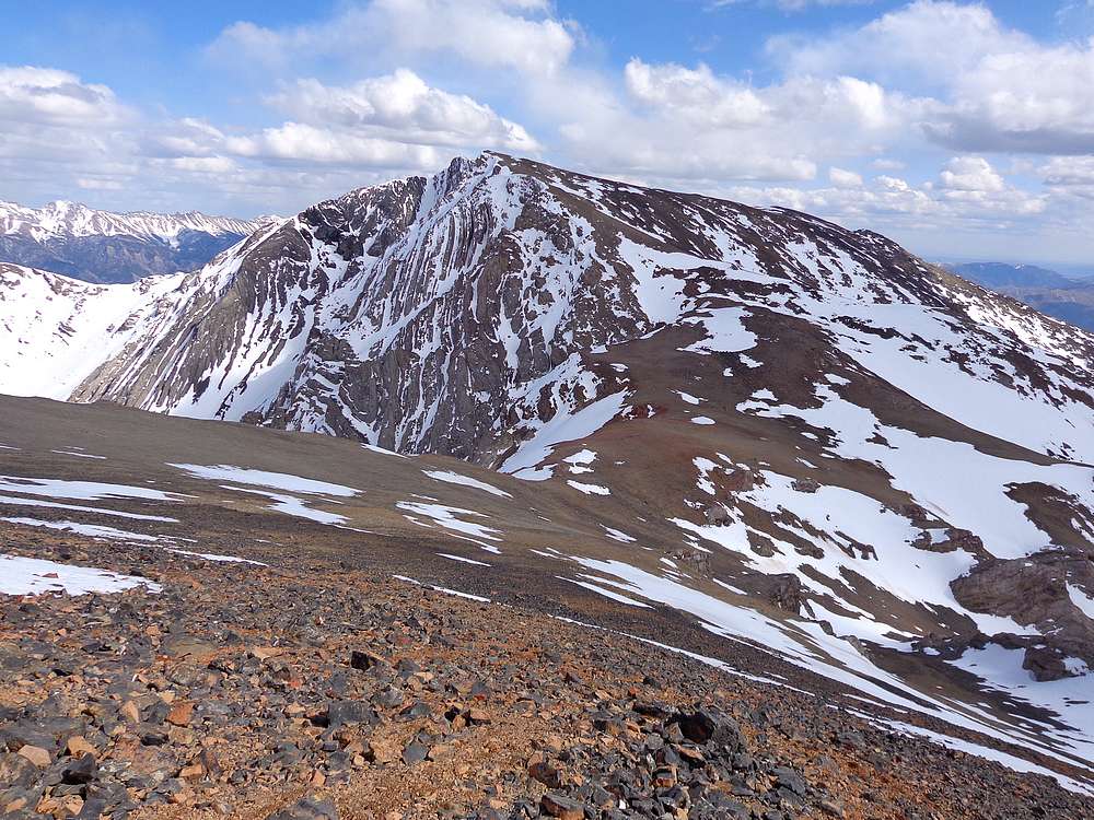
Invisible Mountain has an impressive north face. |

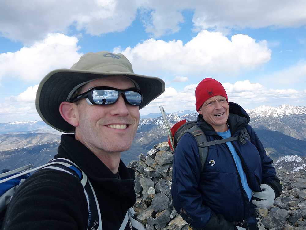
Victory shot on the summit of Invisible Mountain. |
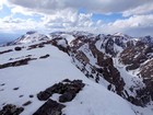
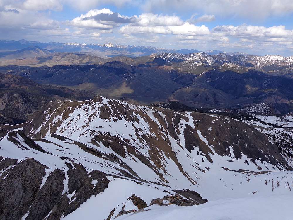
Summit view from Invisible Mountain looking north into the Lost River Range. |

View of the Lemhis from Invisible Mountain. |

Almost evening as we make our descent. |
|
|
|