|
The Yellow Jacket - Juniper Gulch
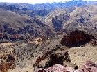
Leslie Gulch is a beautiful area located in the Owyhee country of southeast Oregon, not far from the Idaho border. The high desert terrain is home to a ton on geological diversity, with some really spectacular volcanic rock formations. One of the most popular hiking areas to explore is Juniper Gulch. The hike is full of some really neat scenery, and even offers a couple peaks to visit if you go all the way to the top of the drainage.
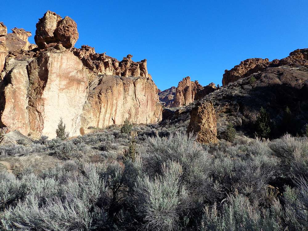
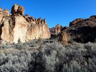
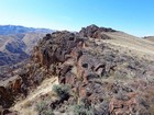
After a couple hour drive from Boise, I was the first car at the trailhead at 10am. I’d visited Juniper Gulch a few years ago with my family, and knew the approach hike would be highly scenic. I made my way up the trail, trying to keep moving, but getting distracted by the cool rock formations along the way.
The upper part of the valley isn’t quite as interesting, but still some good views looking down on Juniper Gulch. Soon enough I made it the saddle, and then scampered up Peak 4791’ (I’m calling it “North Yellow Jacket”.) The views from the top were fantastic, and the weather was perfect, so I lounged in the sun for a while.
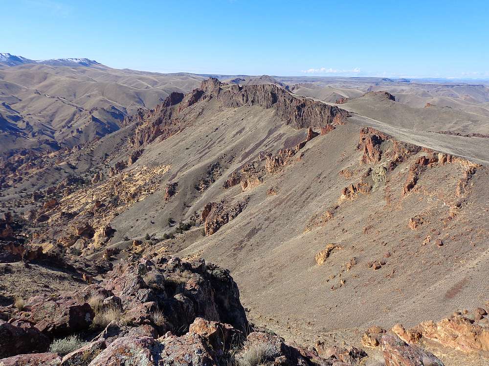
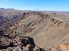
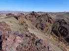
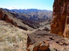
Next I dropped back down to the saddle, and began the hike south along the ridge to The Yellow Jacket. It was pretty mellow terrain for the most part. There is one rocky crest I contoured around to the west, and then a short but fun scramble up to the summit. The weather continued to be perfect, and the summit of The Yellow Jacket was a great vantage point to soak in the views looking down on Juniper Gulch and the many other interesting rock formations that make Leslie Gulch famous.
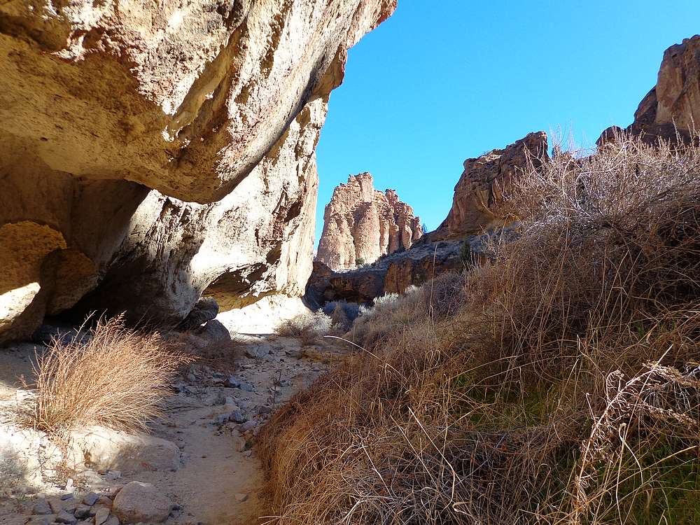
On the way back down, I met several other groups, and followed the COVID19 social distancing protocol of six feet spacing. Lots of people out hiking on such a beautiful day. I also spent some time exploring a side canyon, which was fun. There are a ton of other interesting things to check out, but I needed to get home. Round trip was 6 miles and 2000’ elevation gain in about 3.5 hours.
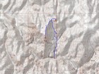
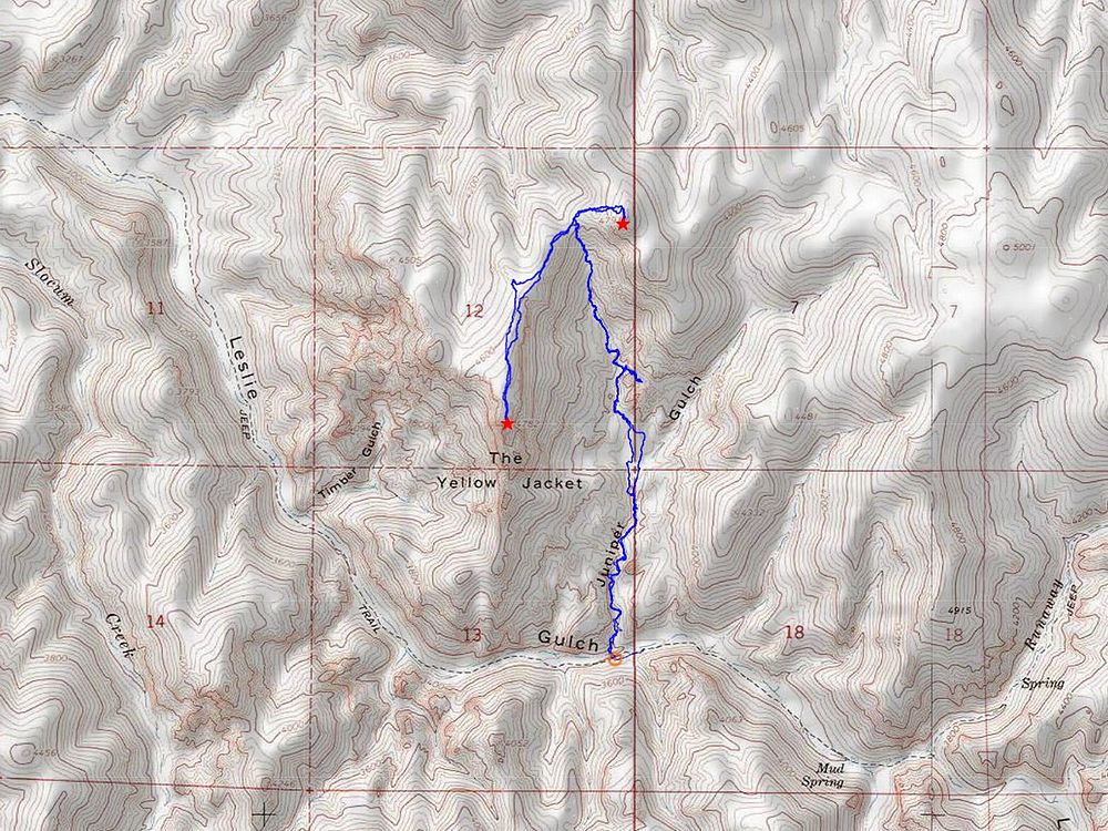
Map of the route, 6 miles and 2000' gain round trip. |
View from the trailhead. |

Heading up the trail. |
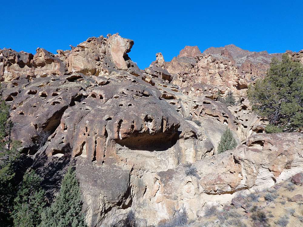
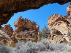
Cool looking rock all over. |

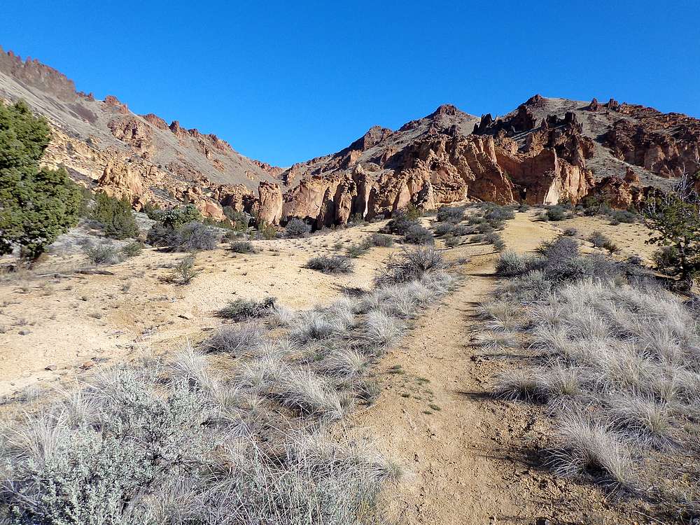
The terrain starting to open up. |

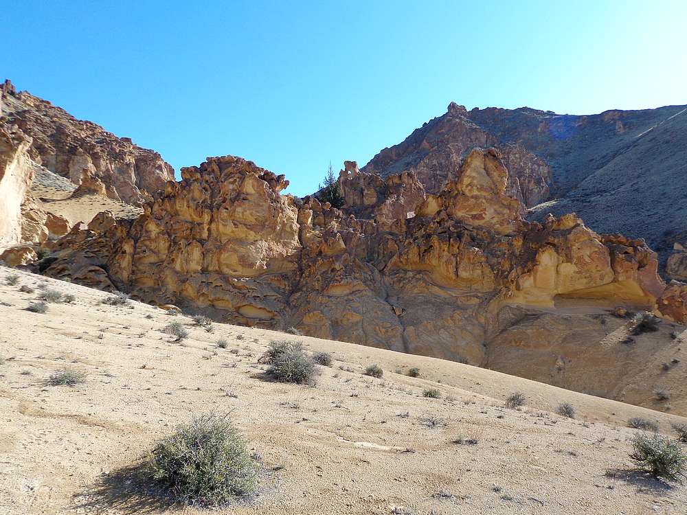
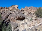
Neat rock formations. |
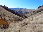
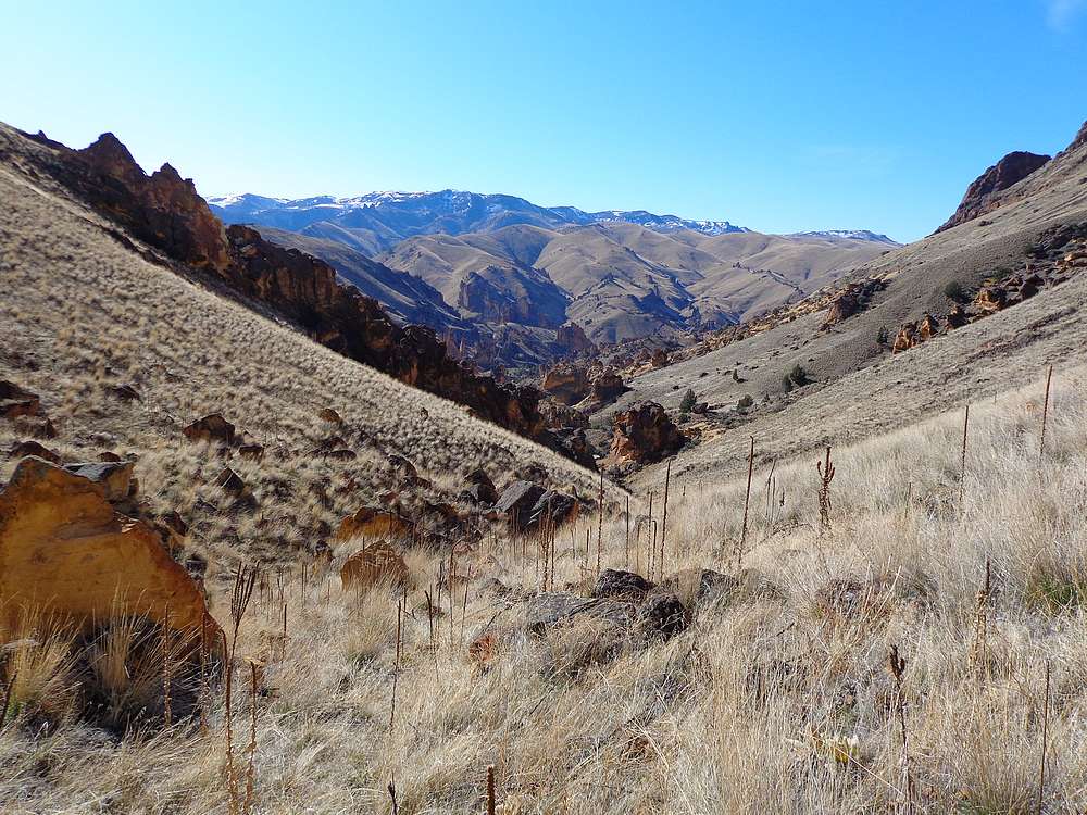
View back from the upper section of the valley. |
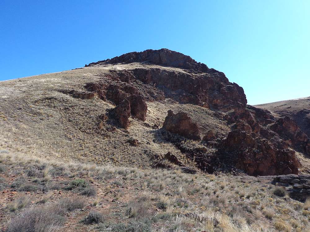
The Yellow Jacket from Peak 4791'. |
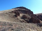
Peak 4791' from the saddle. |
Heading south along the ridge to The Yellow Jacket. |
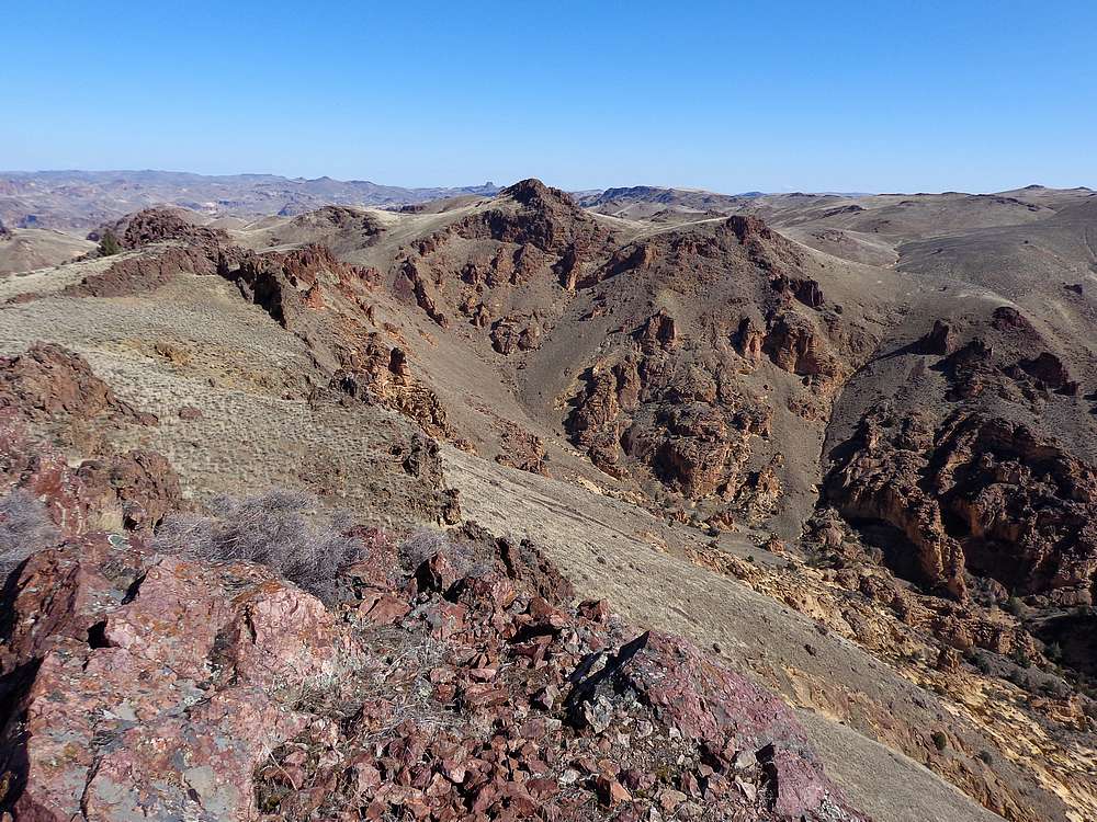
Peak 4791' from The Yellow Jacket. |
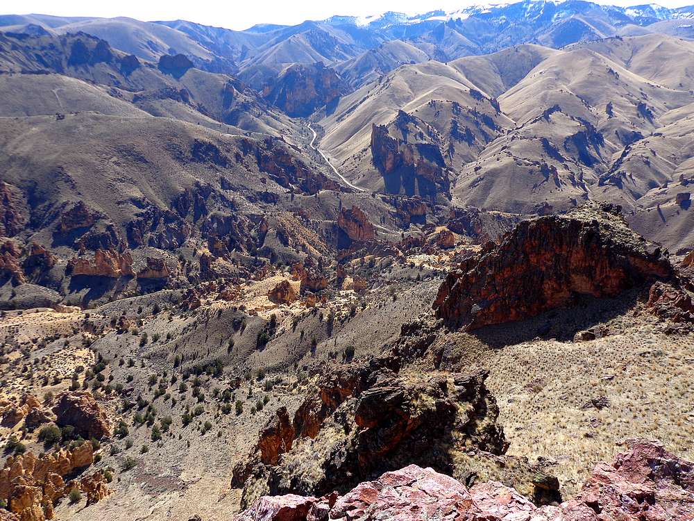
Looking down on Juniper Gulch from The Yellow Jacket. |
Heading back down the trail into Juniper Gulch. |

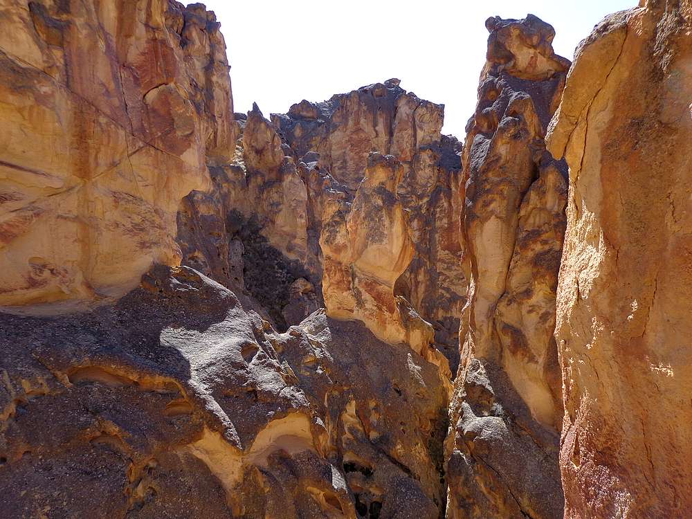
Terminus of the side canyon I explored. |
More neat rock formations on the way back. |
|
|
|
|