|
Deer Butte & Pinnacle Point
Deer Butte and Pinnacle Point are located in the high desert of eastern Oregon. They are just over the Idaho border, not far from the town of Adrian. The area is on the edge of the Owyhee River Canyon, about 10 miles north (downstream) from Owyhee Dam. The hike starts at Snively Hot Springs, and is accessible year round via paved road. It’s a nice place to visit in the “off season” but would be a pretty hot hike in summer.
With a half day hall pass and decent weather, I was looking for a hike close to home to get out and stretch my legs. After finding that the trailhead at Snively Hot Springs is just over an hour drive from Boise, this 6 mile hike including 2 peaks sounded like a great option.
I parked across the road from the hot springs, briefly followed the valley flour, and then headed up a gradual ridge. The only crux on the climb up Deer Butte was some fun boulder hopping to get through a minor cliff band. After that it was just a stroll to the summit.
From Deer Butte, I continued due west and descended to the creek, and then turned south toward Pinnacle Point. If felt good to be out hiking, and I continued along a jeep trail to the base of Pinnacle Point, and then ascended the northwest “ridge” to the summit.
Views from top were good. I took some photos and then I dropped north into the valley where I ended up on a prominent cow trail that led back down to my car. Round trip was 6 miles and 2000’ elevation gain in just over 3 hour round trip.
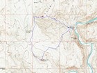
Map of the route, 6 miles and 2000' gain round trip. |
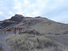
Snively Hot Springs trailhead. |
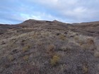
Heading up Deer Butte. |
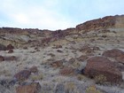
Scramble section on Deer Butte. |
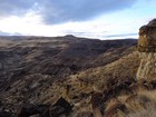
Pinnacle Point from Deer Butte. |
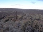
Deer Butte summit view looking northwest. |
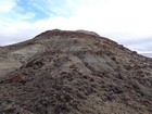
West side of Deer Butte. |
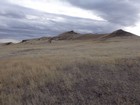
Approaching Pinnacle Point. |
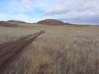
Looking back at Deer Butte. |
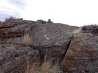
Pinnacle Point summit cairn. |
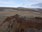
Deer Butte from Pinnacle Point. |
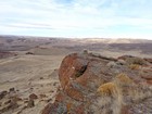
Pinnacle Point summit view looking west. |
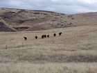
Fellow explorers. |
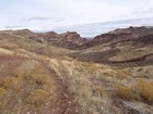
Descending toward Owyhee River Canyon. |
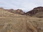
Almost back to the car. |
|
|
|


