|
Cleft Peak
Elevation 11,509'
Cleft Peak is a rugged mountain located in eastern Idaho’s Lost River Range. It is found on the remote east side of the range, and is the midpoint on a divide that connects Mount Corruption and Mount Breitenbach. The peak is set away from the main Lost River crest, and offers some great views of many of the monster peaks in the range.
Cleft Peak would be the second objective in a multi-day peak bagging trip with Michael and John. After a great climb of Ferguson Peak the day before, we slept in and had a leisurely breakfast before making the short drive to the Dry Creek trailhead.
It was just after 9am when we finally started hiking. The weather looked a little ominous, but after some brief sprinkles at the start, conditions were great the rest of the day. The trail up the Dry Creek valley was easy going, almost too easy, with only 500’ elevation gain in the first four miles. Then we took a right-hand turn to head up a tight valley leading to Cleft Peak. We briefly followed a “trail” made by some drunk elk, then ultimately dropped into the creek bottom. It was mostly dry, but plenty of rocks, brush, deadfall, and more rocks to deal with.
The valley became easier hiking higher up. We navigated a headwall, then up some huge rock fields. We stopped for lunch just before the final steep section of talus, then zigzagged our way up to the saddle south of Cleft Peak. The views were exceptional from this point forward, in particular the massive north face of Mount Breitenbach dominated the scene.
From the saddle onward, the climbing got more interesting but never harder than class 3. It was a little scrambling at first, then some loose rock that was a little tricky, and then some more scrambling. Higher up, the ridge got a bit flatter and we made it to the south summit. After some deliberation, we couldn’t tell if the north summit was taller or not, so we made our way over there as well. (Looking back, the south summit seemed higher to us.)
The summit views were great, and we spend some time identifying the big peaks all around us. But it was now 3:30, and we had a bunch of ground left to cover. We carefully down climbed the ridge, then made the long talus descent, and then down the tight valley. Finally, with our dogs barking, we covered the long 4 miles of trail back to the trailhead.
Cleft Peak was a challenging and well-earned summit. Round trip was 15 miles and 4300’ elevation gain in 10 hours. After the climb, we made the drive to Mackay in record time, and just barely made it to Amy Lou’s steakhouse before they closed. They fired the grill back up for us, and we enjoyed some excellent cheeseburgers before heading north to find a camping spot next to the Salmon River. Next up, Bear Valley Lakes in the Lemhis.
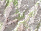
Map of the route, 15 miles and 4300' gain round trip. |
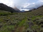
Early in the hike along Dry Creek. |
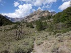
Further up Dry Creek, main Lost River crest coming into view. |
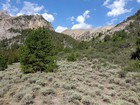
We hung a right up the valley to Cleft Peak. |
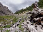
On our way up the valley. |
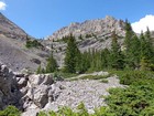
We went up the right side of this headwall. |
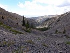
Still climbing the valley. |
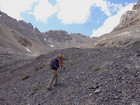
Above treeline. |
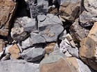
Lots of fossils. |
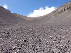
Just a wee bit of talus to deal with. |
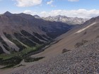
West Fork Pahsimeroi River from the saddle south of Cleft Peak. |
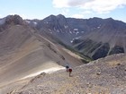
Climbing up from the saddle, massive north face of Mount Breitenbach in the background. |
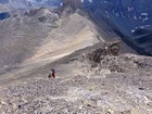
The rock was pretty loose in places. |
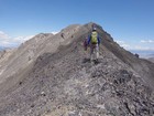
Upper section of Cleft Peak's southwest ridge. |
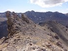
Best to skirt around this false summit. |
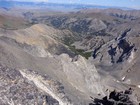
Looking back down the valley we'd climbed, Lemhi's in the distance. |
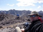
Summit stretches. Don't ask. |
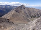
Mount Corruption from Cleft Peak, Mount Borah in the distance. |
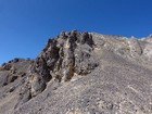
Downclimbing the loose section. |
Back at the Dry Creek trailhead. |
|
|
|


