|
Wisconsin Highpoints
|
Related Links:
Timms Hill
Lookout Mountain
Rib Mountain
|
Wisconsin’s northern highlands (North Woods) are home to some scenic and enjoyable hiking options. With a day to burn while driving across the state, I was able to map out a plan that would allow me separate hikes up three of the four highest ranked summits in Wisconsin including Timms Hill, the state highpoint.
Timms Hill
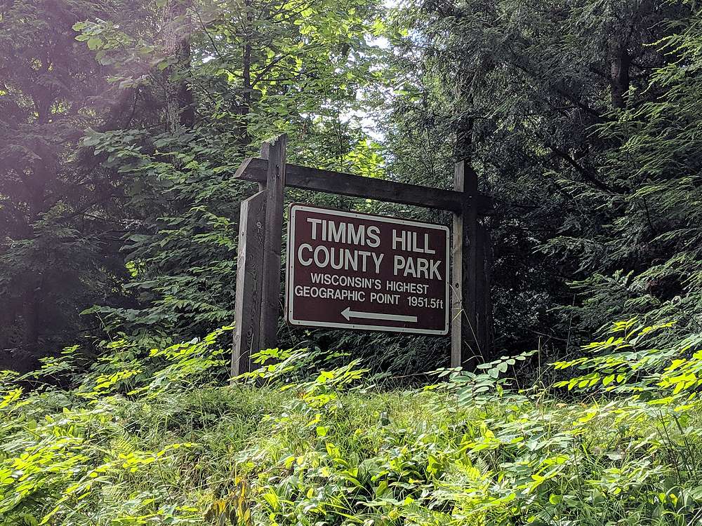
Timms Hill is the highest point in Wisconsin, located in the middle of a scenic county park. There is a paved road to within a quarter mile of the highpoint, but I was looking for a more sporting approach, so I parked near the Hill of Beans coffee house, and hiked along the east side of Bass Lake. Nice and easy approach to the main trailhead, then up the trail to the highpoint.
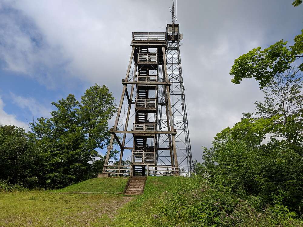
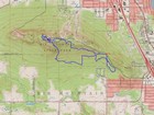
Once on the highpoint, I first made the spooky climb up the metal tower, then the easier wood tower. Great views from both towers. I then descend to the north and the Timms Lake trail, before circling around the hill and back along the west side of Bass Lake to the car. Round trip for the circuitous loop was just over 2 miles, and 350’ elevation gain (including the towers).
Lookout Mountain
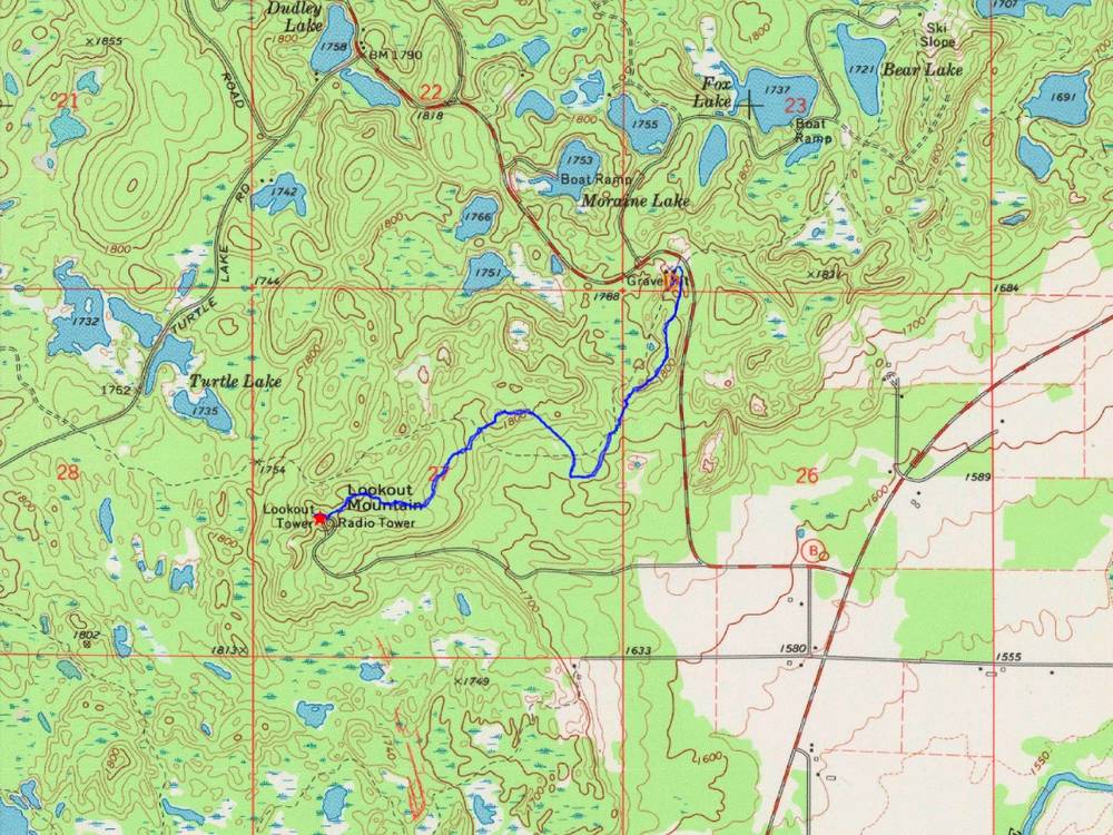
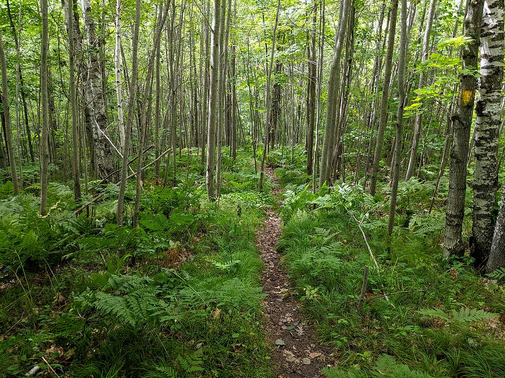
Lookout Mountain just north of Gleason, and is the third highest mountain in Wisconsin. I made my way to the trailhead northeast of the peak, marked as the Harrison Hills Section of the Ice Age Trail. There is a popular ATV trail from the same spot, with the more enjoyable trail just to the east. (Look for yellow blazes.)
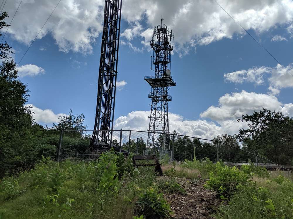
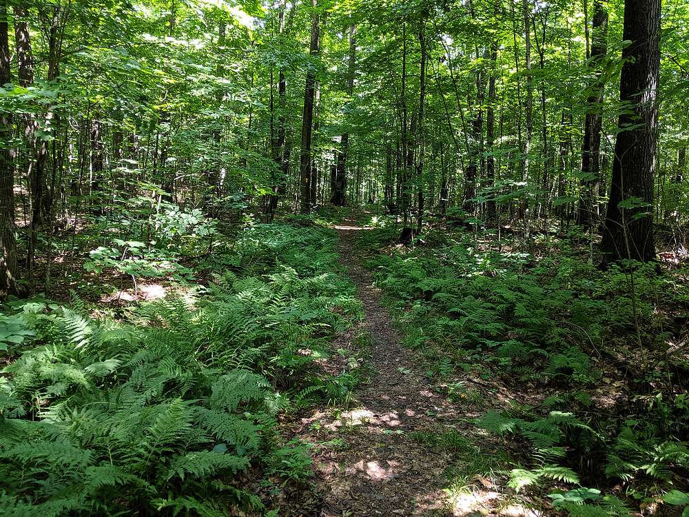
Other than the mosquitos, this section of the Ice Age Trail was very enjoyable. Not heavily traveled, but the yellow blazes made it easy to follow. Nice and shady along the way, and I even spotted 3 white tail deer along the way. The summit itself was somewhat anticlimactic, with a group of 10+ high school kids taking a break (had approached from different route), and the hummm of the communications equipment partially drowning out the sounds of nature. I didn’t stay long before retracing my steps back to the car. Round trip was 3.8 miles and 575’ cumulative elevation gain.
Rib Mountain
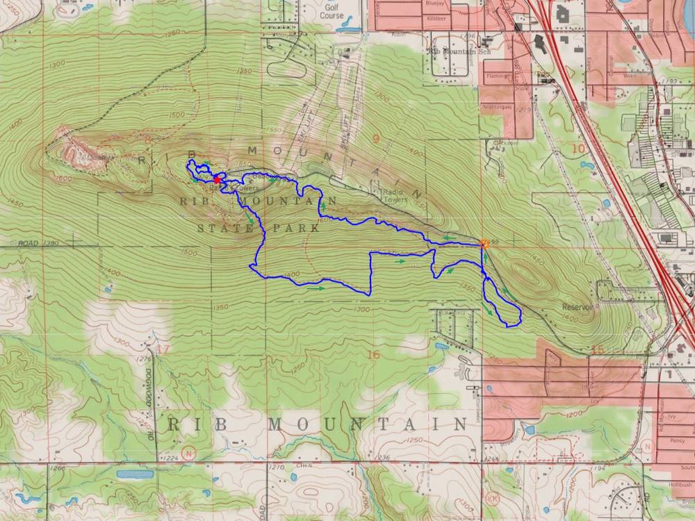
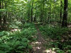
Rib Mountain is the centerpiece of a popular state park near Wausau. There is paved road to the summit, but I opted for a more adventurous approach starting at the lower trailhead for the “yellow trail”. It was a warm and humid afternoon, so the shady trail was appreciated. I made my way up the trail to the summit area, wandered through the picnic tables, then over to the wood fire tower. After a quick climb up the tower to see the views, I made the short but slippery scramble up the rock formation that is the true highpoint.
After touching the top, I headed west on the “blue trail” and circled around the summit before heading down the southern half of the “yellow trail” loop. The sun shining through the forest was very pretty. I took the longest route possible back to the car, making for a round trip loop of 5.4 miles and 700’ cumulative elevation gain.
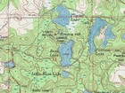
Map of my route up Timms Hill, just over 2 miles and 350' gain round trip. |
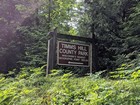
Almost to the trailhead. |

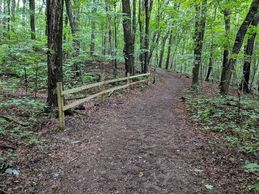
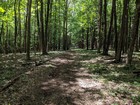
Trail up Timms Hill. |
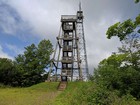
Fire towers on the summit of Timms Hill. |

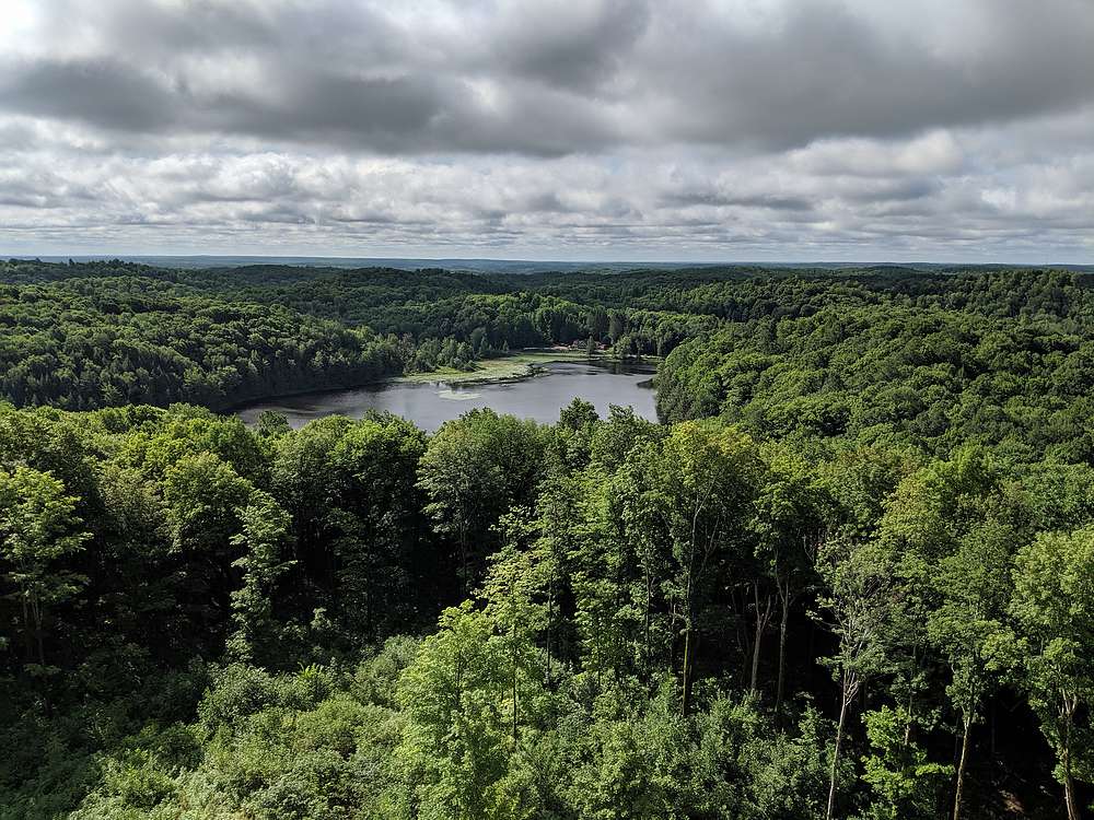
Bass Lake from the Timms Hill tower. |
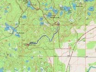
Map of my route up Lookout Mountain, almost 4 miles and 600' gain round trip. |
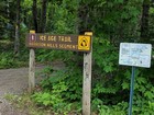
Ice Age Trail to Lookout Mountain. |
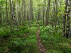
Typical trail conditions along the way to Lookout Mountain. |

Summit of Lookout Mountain. |
The trail was shady and pleasant. |
Map of my route up Rib Mountain, almost 5.5 miles and 800' gain round trip. |
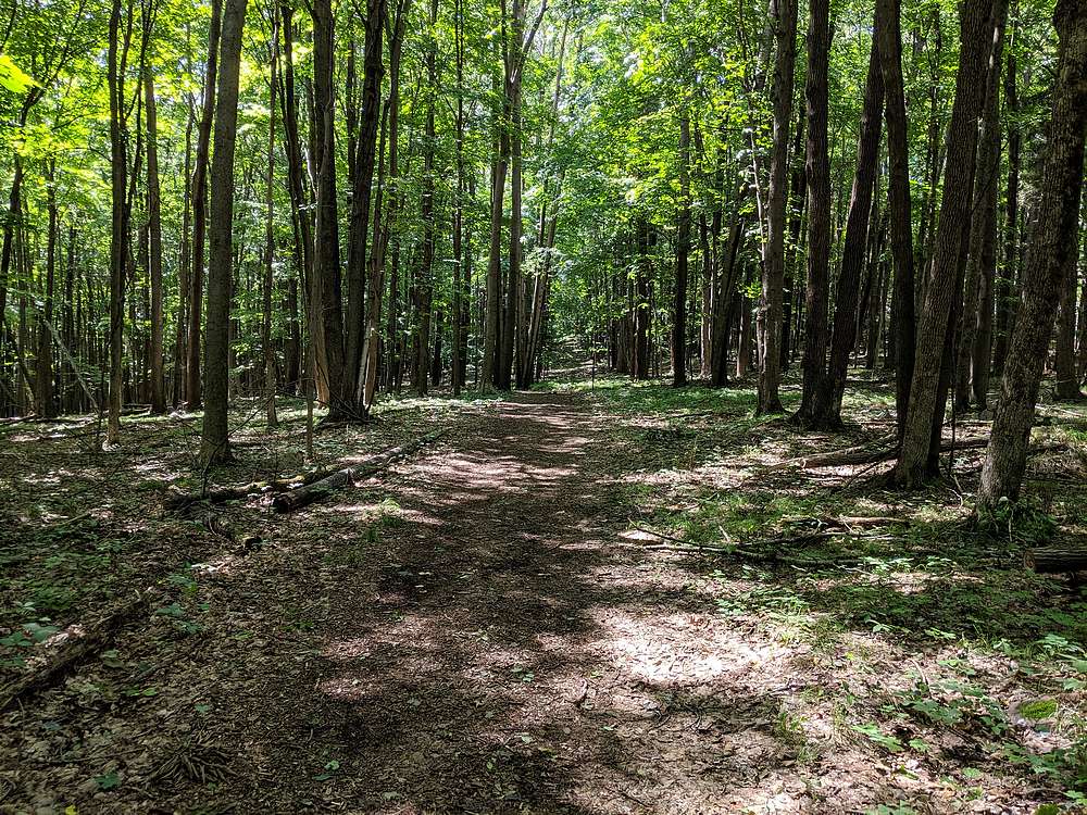
Typical conditions along "the yellow trail" to Rib Mountain. |
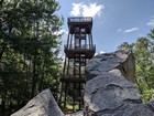
Rib Mountain summit tower from the summit rock. |
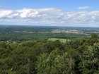
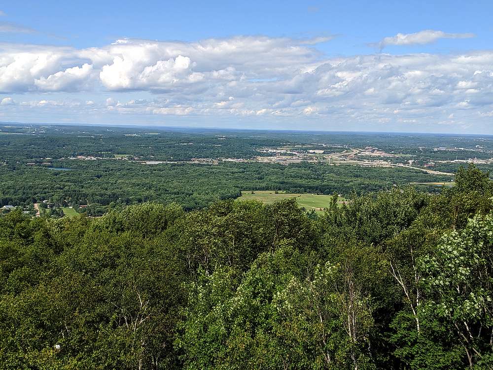
View from the summit of Rib Mountain looking north to Wausau. |
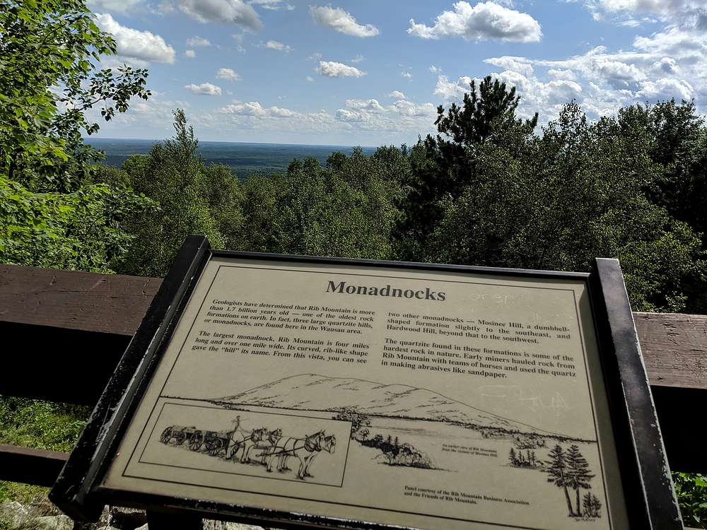
Rib Mountain is a monadnock. |
|
|
|