|
Bighorn Crags
|
Related Links:
- SummitPost Page
- Idaho A Climbing Guide - Area Info
- Idaho A Climbing Guide- Summit Mag
- My 2005 Trip
- Joel's Video
- Trailhead Location
- My GPS Tracks
- Area Trails
- Aggipah Mountain: TL, PB, LOJ, Map
- Waterfall Creek Peak: TL, LOJ, Map
- Sheepeater Mountain: TL, SP, LOJ, Map
- Mount McGuire: TL, SP, PB, LOJ, Map
- Crags Trailhead Point: LOJ, Map
|
The Bighorn Crags of central Idaho are a fantastic backpacking destination located in the Frank Church River of No Return Wilderness. The area is home to numerous alpine lakes and craggy peaks, spires and domes. The scenery is excellent, but this is a remote location protected by 50 miles of dirt road, which helps keeps the crowds away.
When Joel invited me to join him and a group of guys from church on a backpacking trip to the Bighorn Crags, I was immediately interested. It had been 15 years since my last visit, and Joel’s itinerary would allow for a different experience than the last time.
Day 1 – Crags Trailhead to Ship Island Lake
So at 5am, a group of 9 of us piled into 2 vehicles and headed for the hills. First stop was the Stanley Bakery for breakfast, another stop in Challis to top off on gas, and finally a team effort changing my flat tire a few miles before the trailhead. We made it to Crags Campground by noon, and were on the trail by 12:15.
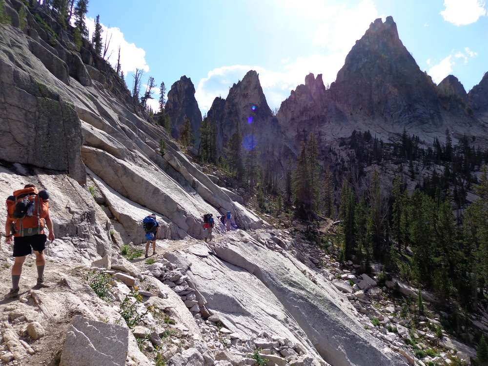
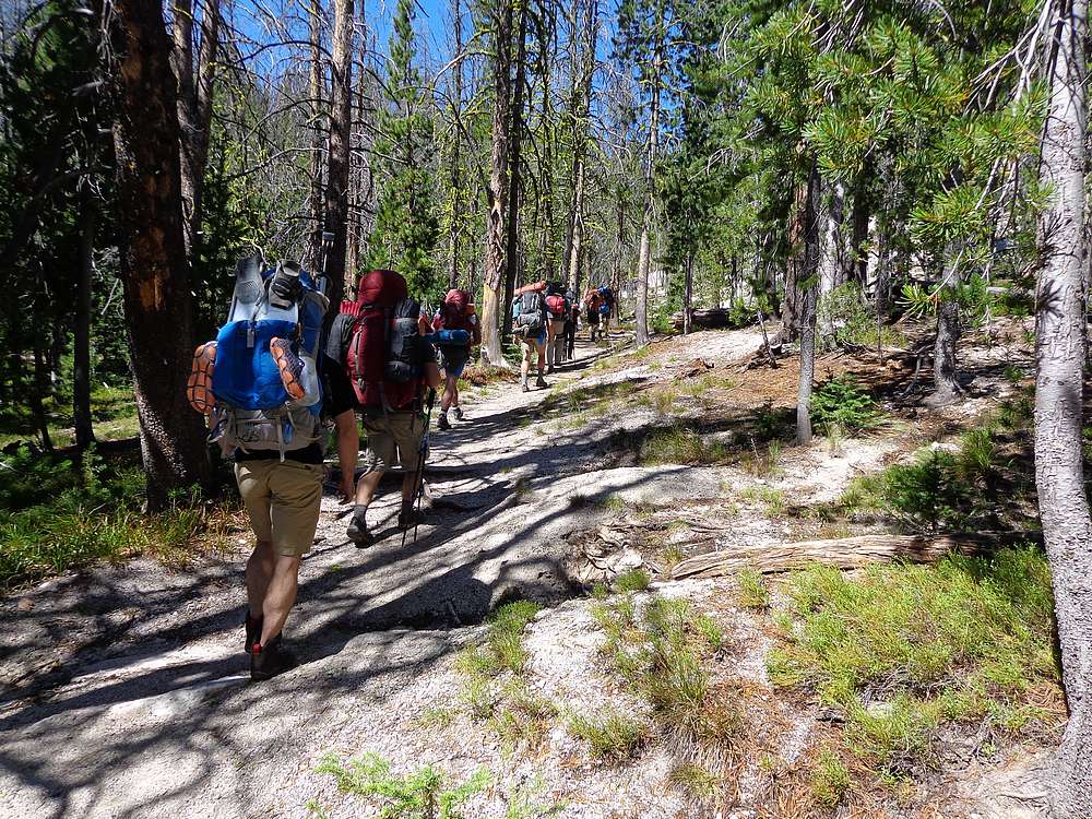
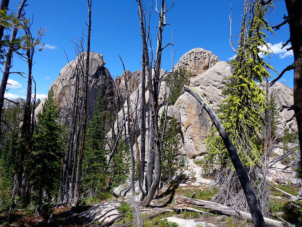
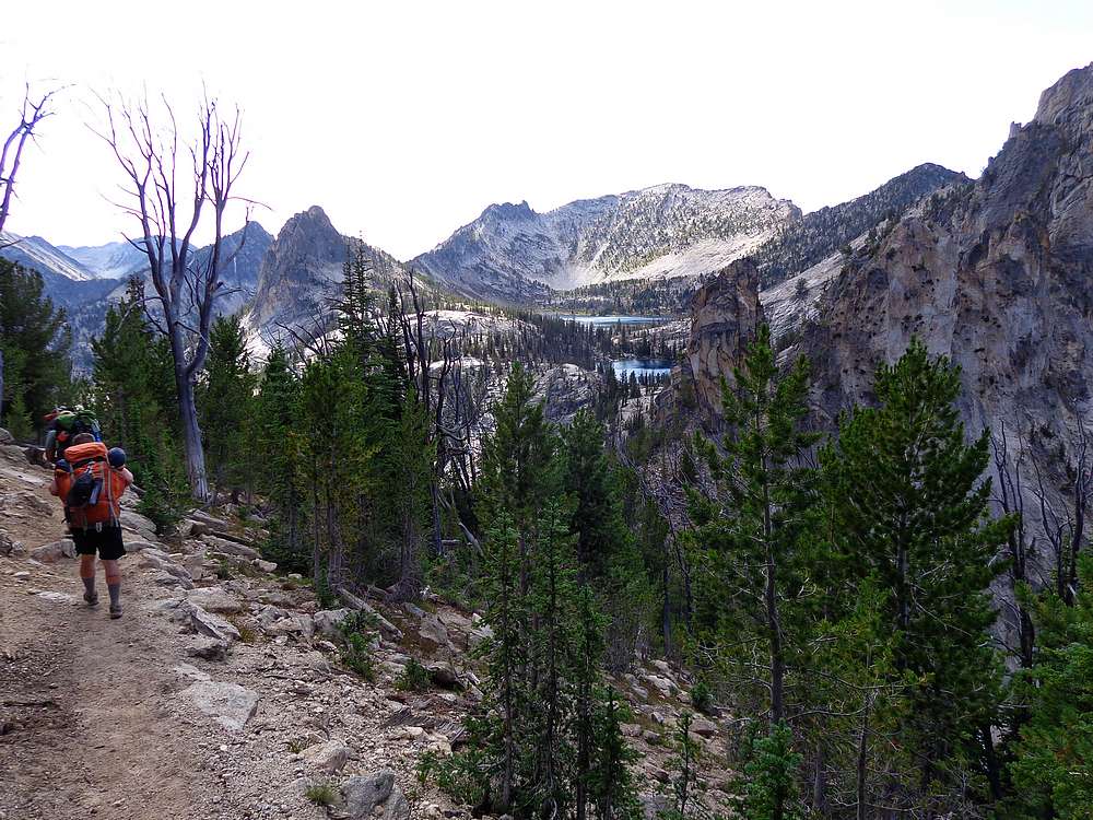
Eager to get moving, the group started off fast out of the gates. But soon enough, we slowed to a more comfortable pace. The scenery was great from the start, with craggy granite and twisted old trees highlighting the views as we hiked along the ridge. The undulating trail was gentle for the most part, right up until the 500’ climb after the saddle north of Cathedral Rock. That section took a lot out of us. But our spirits were revived when the stunning Wilson and Harbor Lakes came into view. There was some discussion about stopping early and setting up camp there, but Ship Island Lake was calling us, so on we went
 We made our way down some exposed switchbacks, and then to Birdbill Lake for a water break. Next was our final climb to the saddle above Airplane Lake, and lastly a long descent to the shores of Ship Island Lake. After some searching, we found a great campsite a quarter mile up the north shore of the lake. After about 11 miles of hiking, we had tents up and a warm meal in our bellies by about 8:30pm. We made our way down some exposed switchbacks, and then to Birdbill Lake for a water break. Next was our final climb to the saddle above Airplane Lake, and lastly a long descent to the shores of Ship Island Lake. After some searching, we found a great campsite a quarter mile up the north shore of the lake. After about 11 miles of hiking, we had tents up and a warm meal in our bellies by about 8:30pm.
Day 2- Aggipah Mountain 3 Peak Loop
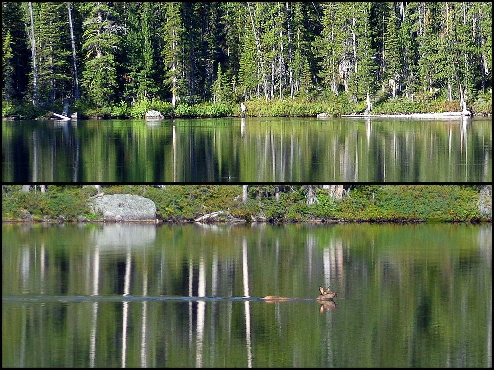
 The next morning, we were treated to some a beautiful sunrise. After breakfast there as a commotion on the other side if the lake, and we eventually determined that a wolf had attempted to take down a deer, who then escaped by swimming across the lake. Yes, true story! After that excitement, I elected to go climb some peaks while the others fished and explored Ship Island Lake. The next morning, we were treated to some a beautiful sunrise. After breakfast there as a commotion on the other side if the lake, and we eventually determined that a wolf had attempted to take down a deer, who then escaped by swimming across the lake. Yes, true story! After that excitement, I elected to go climb some peaks while the others fished and explored Ship Island Lake.
My main climbing objective for the day was Aggipah Mountain, and two other peaks to connect into a nice 7 mile loop. So I headed south from Ship Island, to the unnamed lake above it, then continued to the prominent saddle southeast of Aggipah. From there it was a mixture of scrambling and boulder hopping to reach the summit. I had good views from the top, and could even see our campsite on the far side of the lake. Then I carefully retrace my steps back down to the saddle.
 If things worked out well, I’d be able to tag two more summits before returning to camp. The first objective was “Waterfall Creek Peak” (Peak 9743’) via a direct climb up the ridge. Then I continued toward “Sheepeater Mountain” (Peak 9920’). Along the way I stopped for a nice lunch break with amazing views. From Sheepeater, I dropped down the upper broad slopes then then through trees back down to the upper lake. This ended up being a great 3-peak day. That evening we enjoyed a bunch of food and campfire talk. If things worked out well, I’d be able to tag two more summits before returning to camp. The first objective was “Waterfall Creek Peak” (Peak 9743’) via a direct climb up the ridge. Then I continued toward “Sheepeater Mountain” (Peak 9920’). Along the way I stopped for a nice lunch break with amazing views. From Sheepeater, I dropped down the upper broad slopes then then through trees back down to the upper lake. This ended up being a great 3-peak day. That evening we enjoyed a bunch of food and campfire talk.
Day 3 – Mount McGuire and Wilson Lake
 For day #3, we decided it would be good to start back toward the trailhead, and make camp at Wilson Lake. Joel and I left early to allow time for a side trip up Mount McGuire, the tallest mountain within the wilderness area. We climbed the switchbacks above Airplane Lake, then dropped our packs at the end of the highest one and headed northwest toward McGuire. For day #3, we decided it would be good to start back toward the trailhead, and make camp at Wilson Lake. Joel and I left early to allow time for a side trip up Mount McGuire, the tallest mountain within the wilderness area. We climbed the switchbacks above Airplane Lake, then dropped our packs at the end of the highest one and headed northwest toward McGuire.
The cross-country section through the forest wasn’t bad, but the boulder hopping from the small lake until the summit was pretty tedious. It felt good to make it to the highpoint and soak in the amazing views, but the flying ants all over the summit rock necessitated that we drop down a bit for our snack break. The descent down through the boulders was equally tedious, and we were relived to make it back to easier ground down below.
 Once back at our packs, it was time to shoulder the load and continue up and over the pass to Birdbill Lake, were we stopped to refuel. After a break, and a climb up the switchbacks below Fishfin Ridge, we met the rest of the group for our camp at Wilson Lake. Wilson Lake was highly scenic, and we enjoyed the afternoon fishing and swimming. Once back at our packs, it was time to shoulder the load and continue up and over the pass to Birdbill Lake, were we stopped to refuel. After a break, and a climb up the switchbacks below Fishfin Ridge, we met the rest of the group for our camp at Wilson Lake. Wilson Lake was highly scenic, and we enjoyed the afternoon fishing and swimming.
Day 4 – Wilson Lake to Crags Trailhead
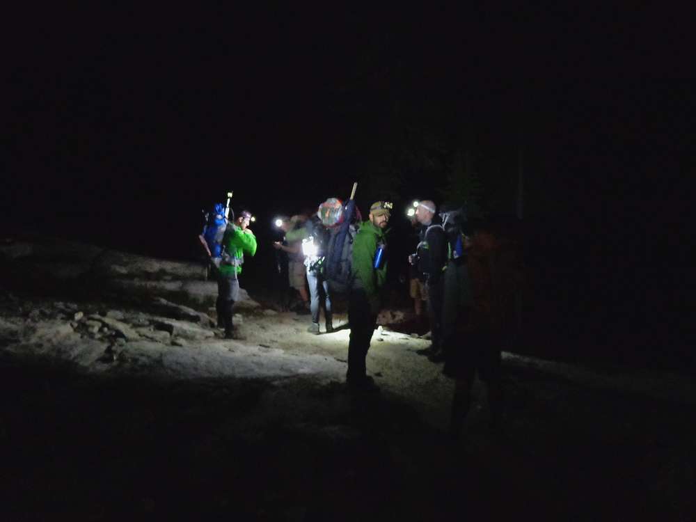
 There had been some talk the night before about getting up at 4am for an early start. I was skeptical it would actually happen, but sure enough we were up by 4am and hiking by just after 5am. Hiking with headlamps was interesting, and then a brief rainstorm made it more interesting. The sun was a welcome sight, and we made pretty good time along the trail. Along the way, I detoured for a quick side-trip up Peak 9048” (“Crags Trailhead Point”), and we all made it back to the trailhead without issue. And the timing worked out perfect for cheeseburgers in Stanley on the way home. There had been some talk the night before about getting up at 4am for an early start. I was skeptical it would actually happen, but sure enough we were up by 4am and hiking by just after 5am. Hiking with headlamps was interesting, and then a brief rainstorm made it more interesting. The sun was a welcome sight, and we made pretty good time along the trail. Along the way, I detoured for a quick side-trip up Peak 9048” (“Crags Trailhead Point”), and we all made it back to the trailhead without issue. And the timing worked out perfect for cheeseburgers in Stanley on the way home.
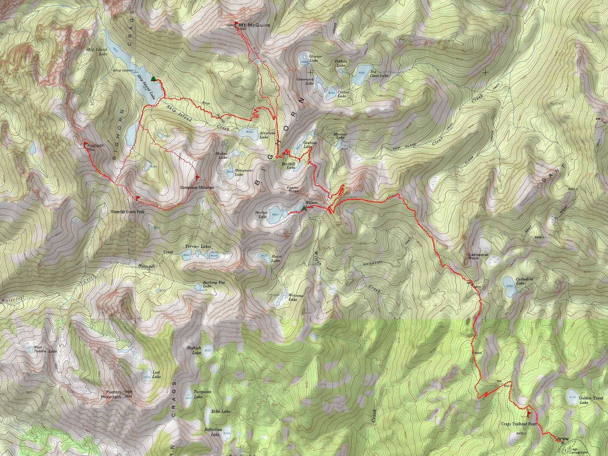
All in all an excellent trip. The Bighorn Crags are highly scenic, and it was fantastic getting to know a bunch of great guys. Round trip for me was 36 miles and 10,600’ of elevation gain. (26 miles and 5800’ of gain not including the peaks.)
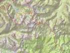
Map of the route, 36 miles and 10,600' gain round trip. (26 miles and 5800’ of gain not including peaks.) |
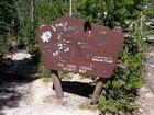
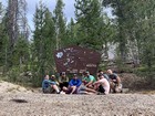
Cool trailhead sign. |
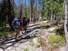
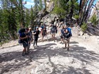
Heading up the trail. |
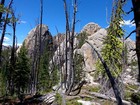
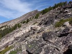
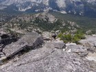
Big granite near the trail. |
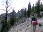
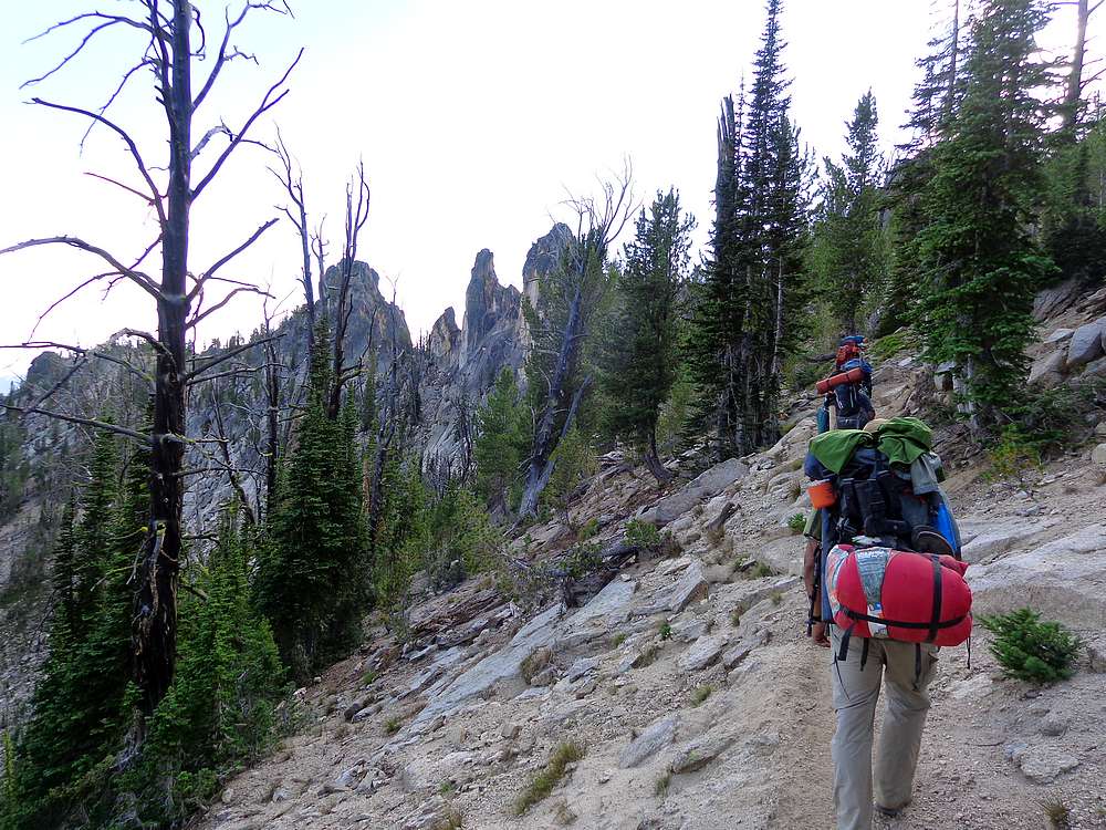
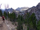
Nearing Fishfin Ridge. |
Rest break. |
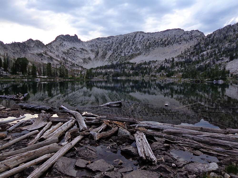
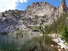
Wilson and Harbor Lakes. |
Trail cut through granite below Fishfin Ridge. |
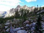
Great scenery along the way. |
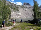
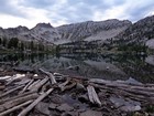
Birdbill Lake. |
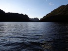
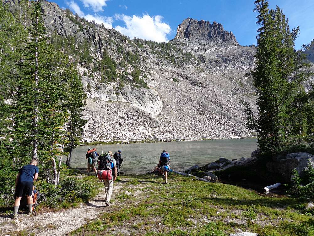
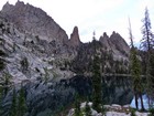
Finally made it to Ship Island Lake. |
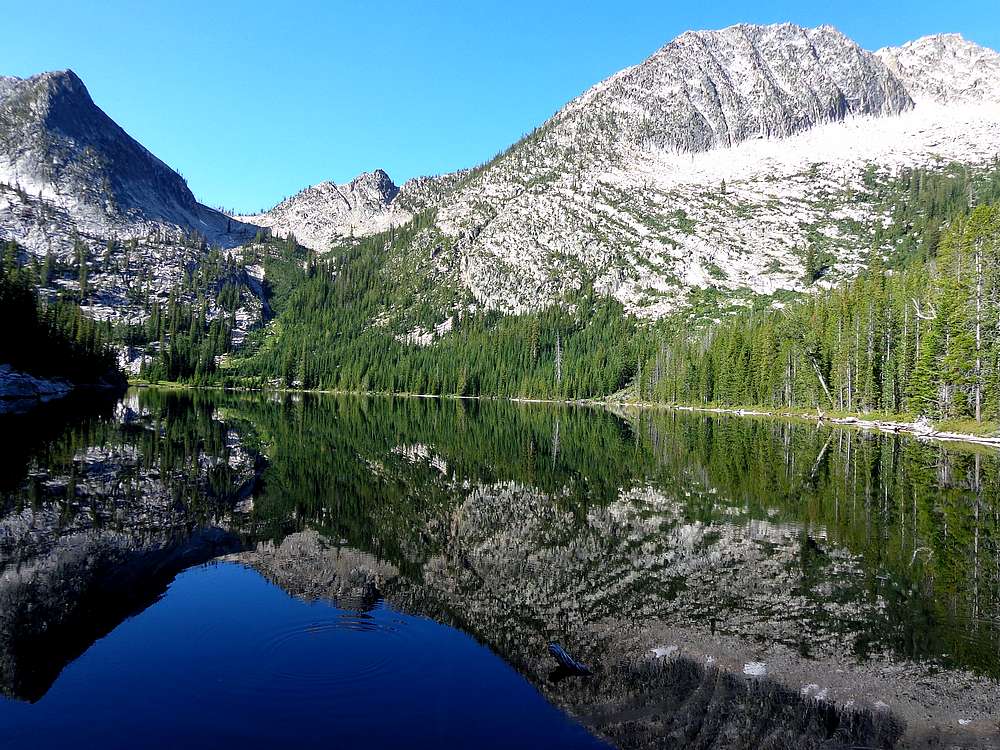
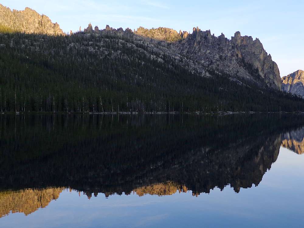
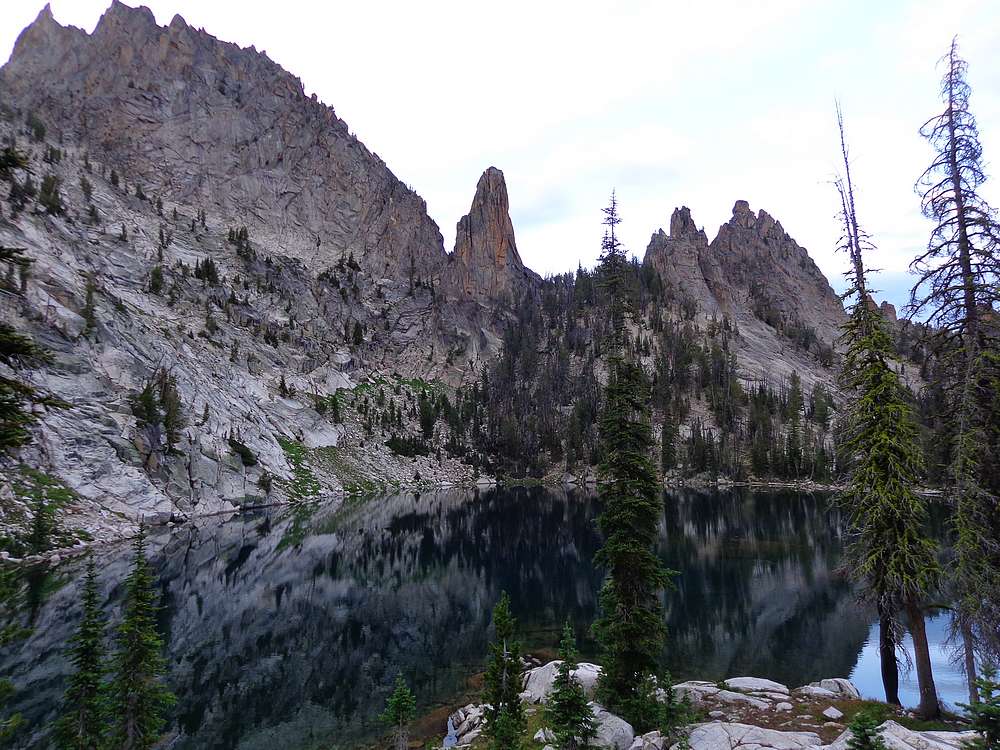
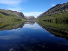
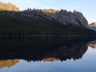
Morning reflection of Aggipah Mountain from Ship Island Lake. |

After the ruckus, wolf leaving and deer swimming. |
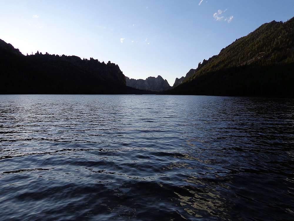
Ship Island Lake in the morning. |
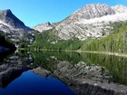
Aggipah Mountain from the upper lake. |
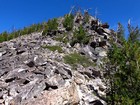
Southeast ridge of Aggipah Mountain. |
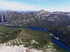
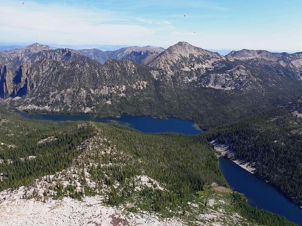
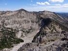
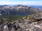
Aggipah Mountain summit view of Ship Island Lake and Mount McGuire. |
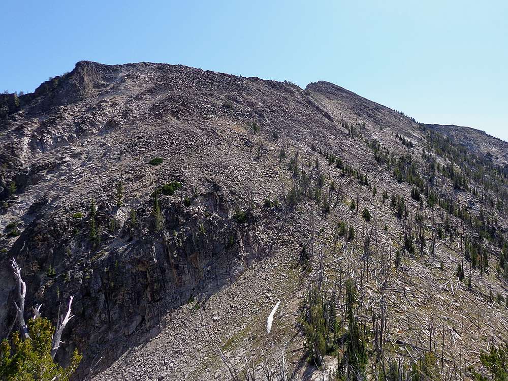
Waterfall Creek Peak is next. |
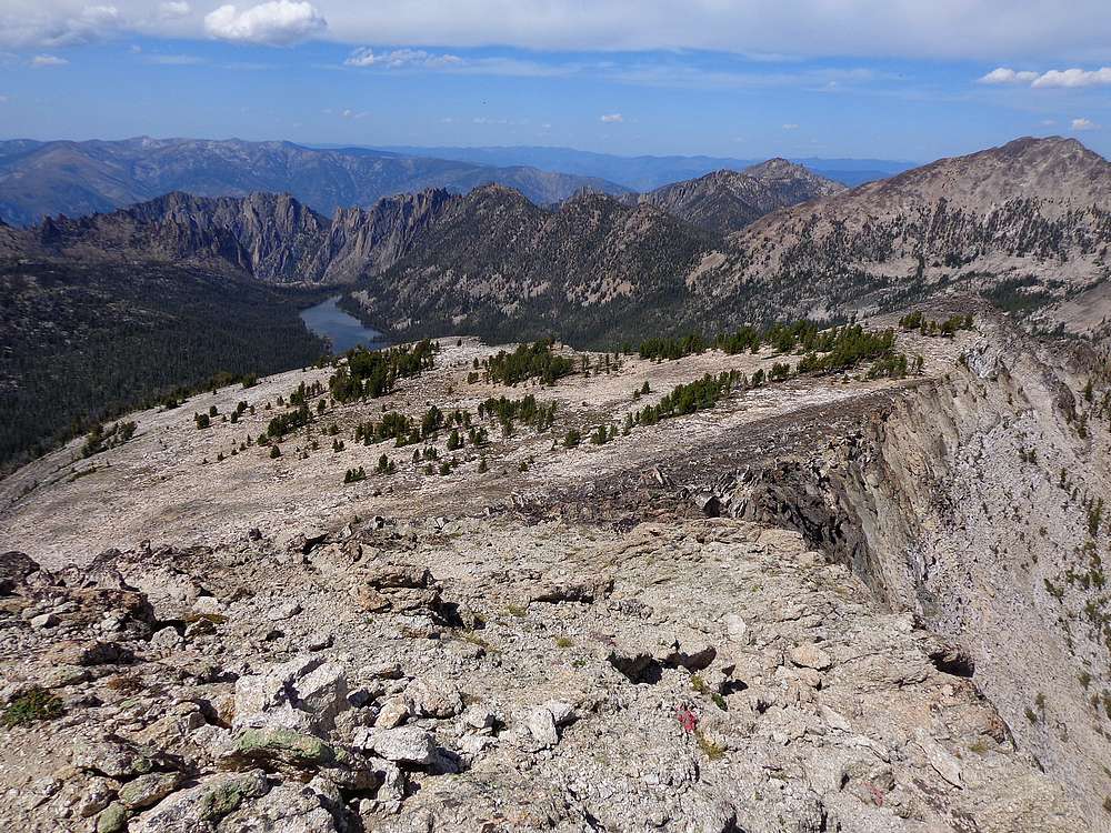
Waterfall Creek Peak summit view. |
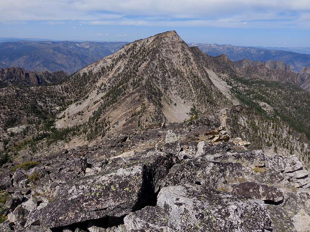
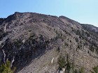
Looking back on Aggipah Mountain from Waterfall Creek Peak. |
View of the ridge from Waterfall Creek Peak to Sheepeater Mountain. |
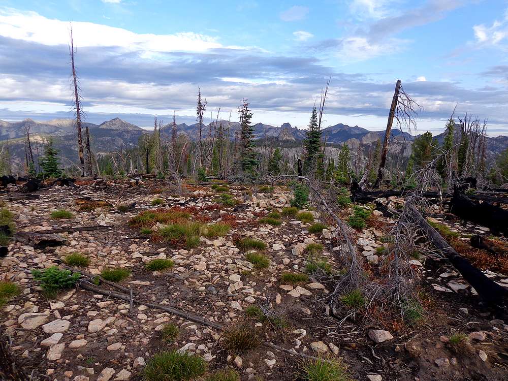
Great views from my lunch spot. |
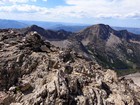
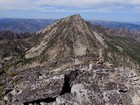
Summit view looking back on Waterfall Creek Peak and Aggipah Mountain from Sheepeater Mountain. |
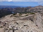
Descending toward Ship Island Lake from Waterfall Creek Peak. |
Wolf Fang Ridge above Ship Island Lake. |
Lots of boulder hopping on the way up Mount McGuire. |
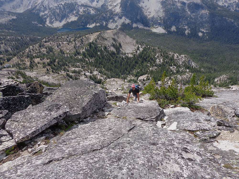
A rare stable section near the summit of Mount McGuire. |
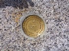
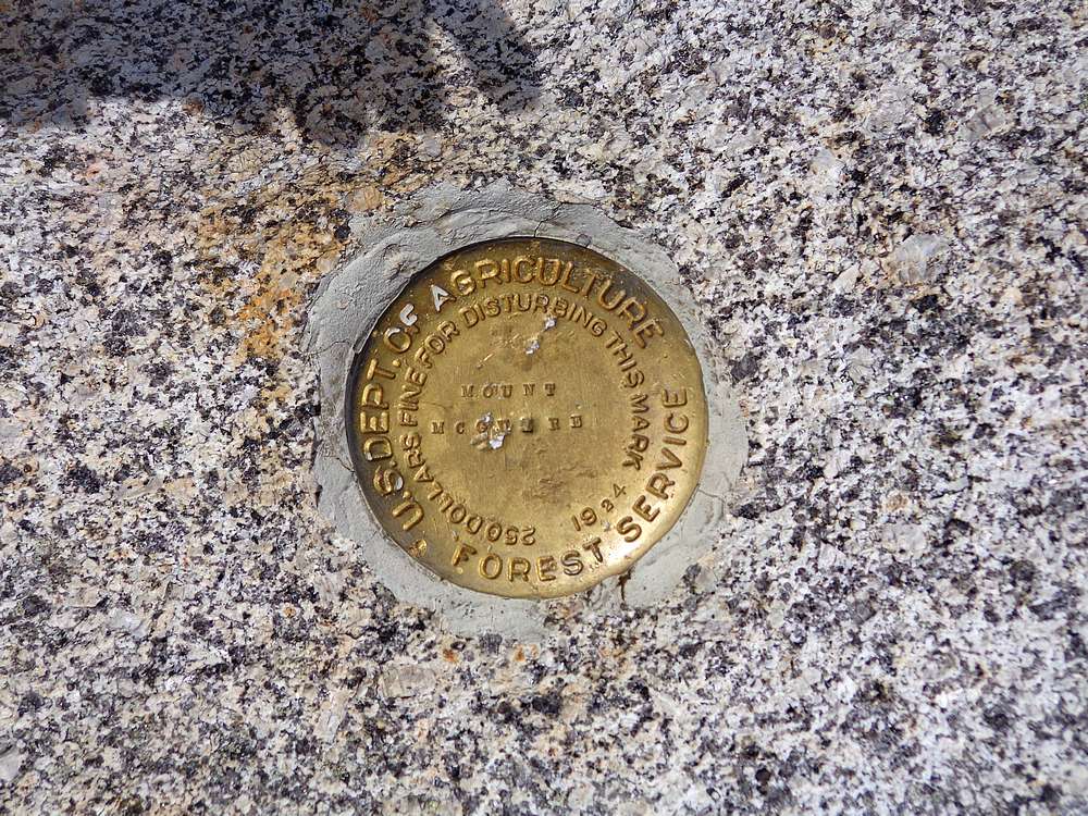
Mount McGuire summit marker. |
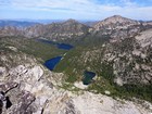
Mount McGuire summit view of Ship Island Lake and Aggipah Mountain. |
Wilson Lake recreation. |
Harbor Lake. |
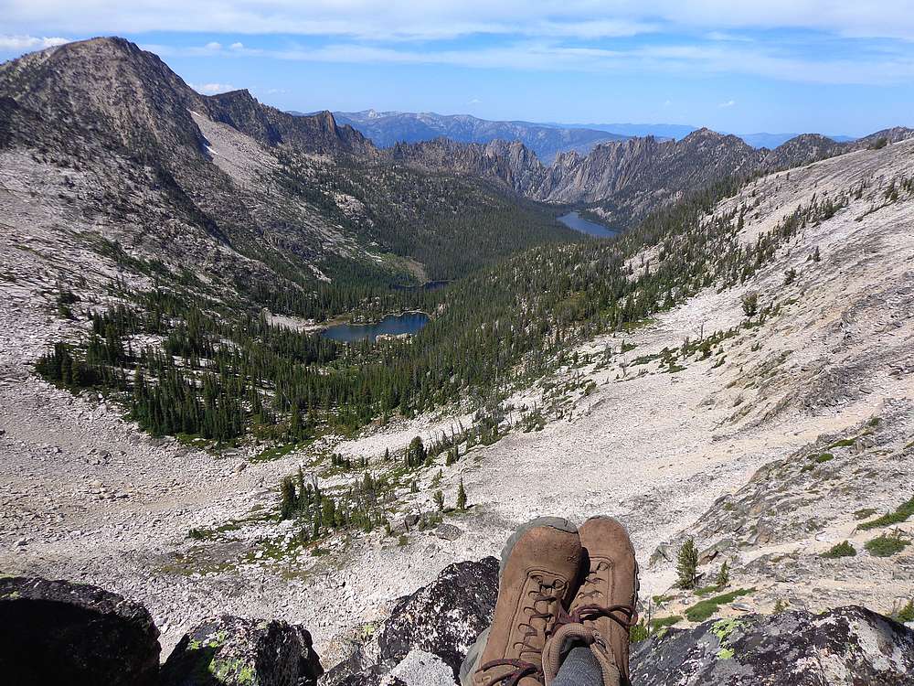
Looking down on Wilson Lake. |
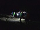
Hitting the trail at 5am. |
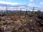
Summit view from "Crags Trailhead Point". |
Back at the trailhead. |
|
|
|