|
Reynolds Peak
Elevation 4749'
Reynolds Peak is located in southwestern Idaho’s Owyhee Mountains. It is the highpoint of the ridge that forms the southeastern wall of Reynolds Creek Canyon. It’s best visited in early season before this desert terrain heats up for summer. Its interesting terrain, but you likely won’t have it to yourself due to abundant OHV trails nearby.
It was a beautiful spring day, too nice to waste, and I was looking for a quick afternoon hike close to home after church. Tom and friends had just visited this peak last week, which was all the inspiration I needed. So after only an hour drive from my house in south Boise, I was on my way up the trail. (And was passed by a group of dirt bikes shortly thereafter.)
I crested a small ridge, skirted across a grassy hillside to avoid losing elevation, then back to the ATV trail. Higher up, the trail descended and I went cross country along the ridgeline. This was the best part of the hike. No other traffic, and great views looking down into Reynolds Creek, and across at Soldier Cap.
Soon enough, I made it to the summit. The views were very nice, and it was perfect spring weather. From here, I mostly backtracked back to the trailhead, with some detours along the way. Round trip was just over 5 miles and 950’ gain in just under 2 hours. Shared the trail with several motorized groups who were also out enjoying the weather.
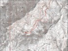
Map of the route, 5 miles and 950' gain round trip. |
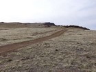
Starting up the trail. |
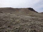
Open terrain. |
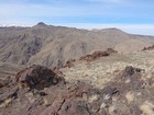
Soldier Cap and Wilson Peak across Reynolds Creek Canyon. |
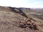
First view of Reynolds Peak in the distance. |
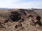
Reynolds Peak with snowy Owyhees in the background. |
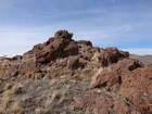
Reynolds Peak summit area. |
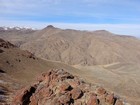
Soldier Cap and Wilson Peak from Reynolds Peak. |
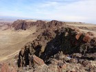
Looking back on the route and impressive canyon wall. |
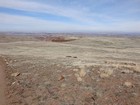
Almost back to the car. (High clearance needed or add a couple miles.) |
|
|
|


