|
Chimney Peak
Elevation 7162'
Chimney Peak is located in central Idaho’s Soldier Mountain Range. The peak is located on the southern edge of the range, near Fairfield. Thanks to a plowed trailhead at Chimney Creek, the peak is accessible in winter via an 8 mile round trip trek. The open terrain offers great views of the Camas Prairie and Smoky Dome, and the area is suitable for both snowshoeing and backcountry skiing.
In the midst of a big snow year, I was suffering from a bad case of cabin fever and was able to sync up with Michael and John F on a snowshoeing outing. We chose Chimney Peak due to good access and only a 90 minute drive from Boise.
We followed Dan’s directions to the trailhead and were moving by 8:15am, the first ones in the parking lot. No snowshoes needed thanks to the packed snowmobile trail. After a nice mile and a quarter of warm up, we hung a left on a narrow road that crossed the creek. Still no snowshoes needed thanks to a surprisingly strong crust on the snow.
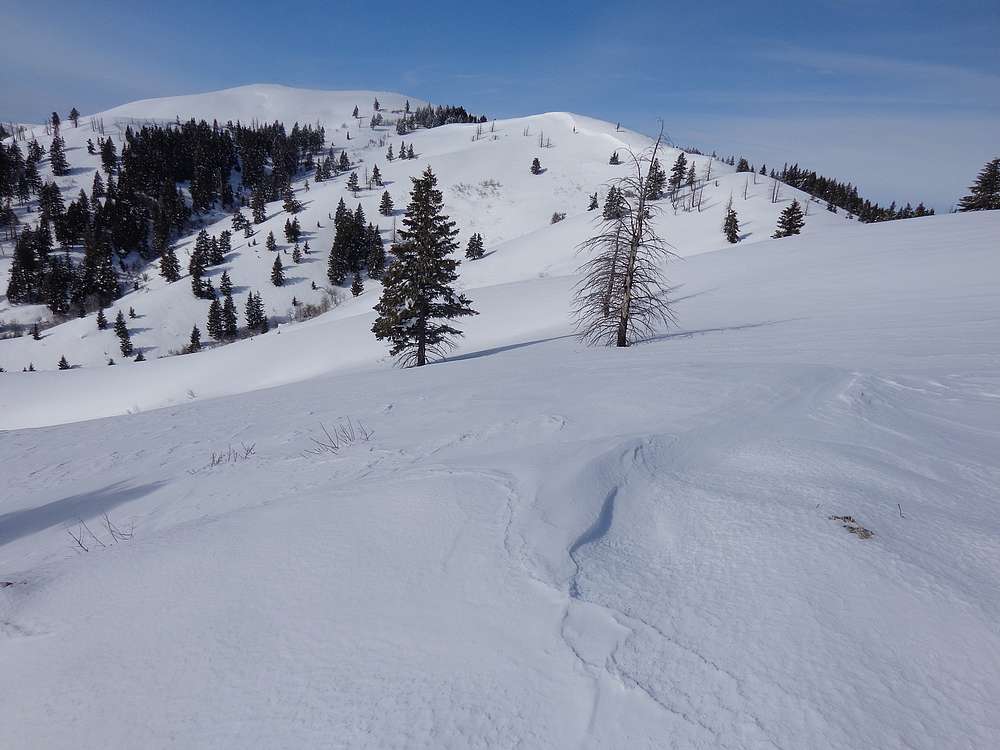
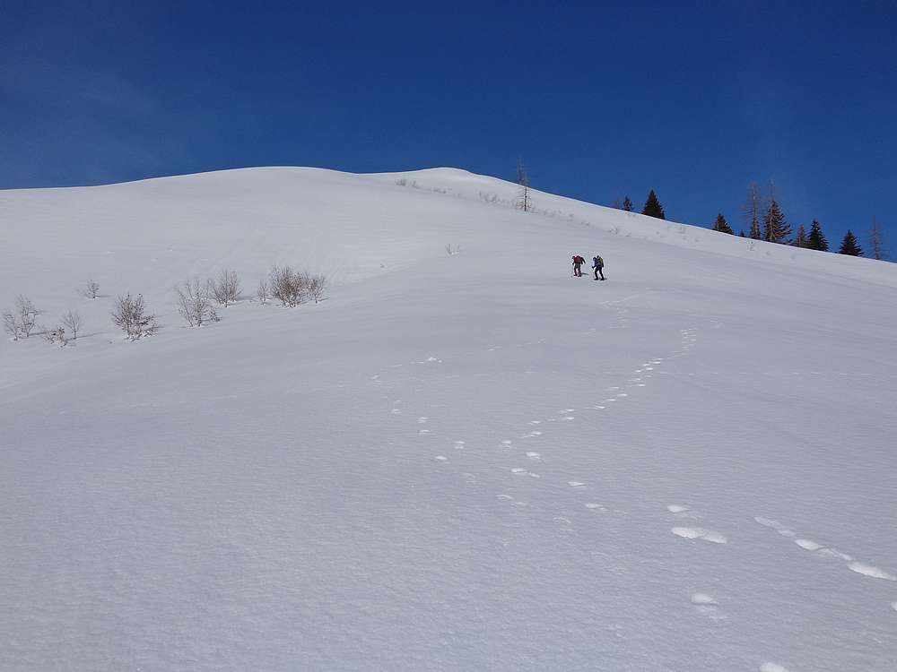
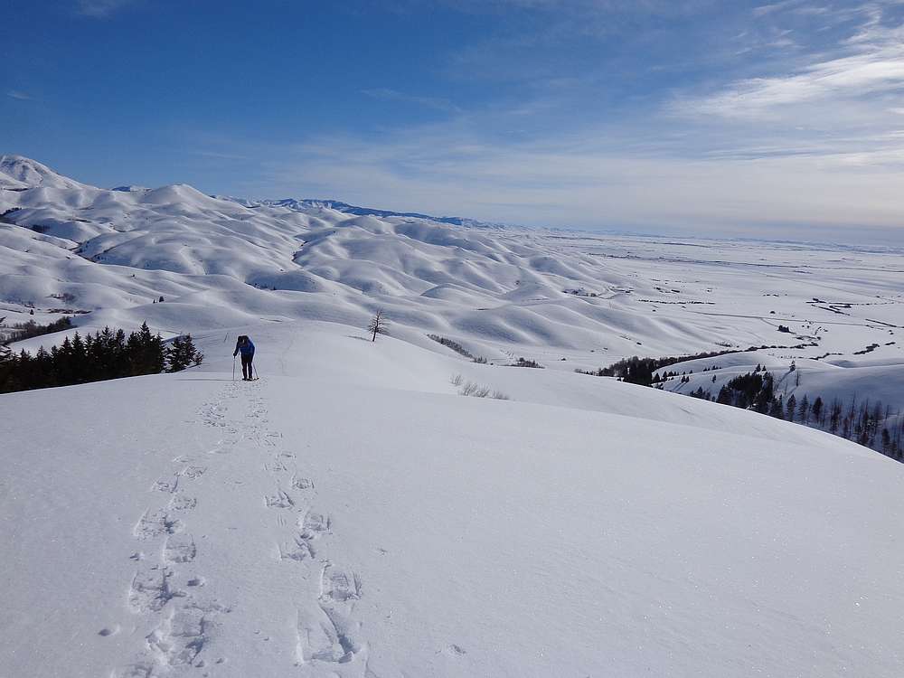
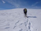
Benefiting from the supportable crust, we made good time up the steep lower section, and then gained the main ridge at ~6000’ elevation. At this point we did put on the snowshoes to help keep us on top of the crust. It was a beautiful sunny morning with minimal wind. Talk about ideal conditions. From the ridge, we had excellent views of snow covered Camas Prairie below and Smoky Dome and the main crest of the Soldiers above us.
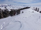
The east ridge of Chimney Peak is fairly mellow and undulating. The views were great in all directions, and we had a good position to watch a couple groups of snowmobilers playing in the hilly terrain to the north. It only took about three hours to reach the highpoint thanks to the crust. Still no wind to speak of, so we enjoyed our lunchbreak from the summit while taking in the views.
On the way back, we just retraced our steps. At one point we were briefly joined by some folks on snow bikes lower on the ridge. Further down, we attempted some glissading down the steep section. Stats for the day were just over 8 miles and 2100’ total elevation gain round trip in 5.5 hours. A great day in the mountains, and we even made it home in time for dinner.
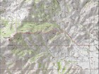
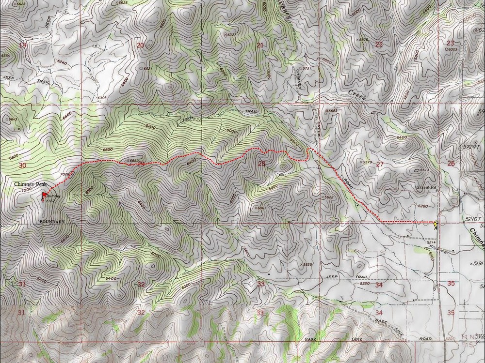
Map of the route, 8 miles and 2100' gain round trip. |

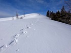
Heading up a steeper section. |

Lots of snow out on the Camas Prairie in the background. |
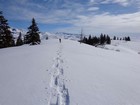
Making our way up the ridge. |
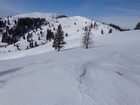
Mellow terrain on the ridge. |
Chimney Peak comes into view. |
Still heading up, Smoky Dome in the background. |
Nearing the summit. |
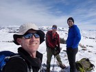
Group shot on the summit of Chimney Peak. |
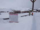
Access via private land. Treat it with respect. |
|
|
|