|
Hayden Peak Loop
The Owyhee Mountains are located in the southwest corner of Idaho. They are a remote and rugged desert mountain range with some interesting scenery. Hayden Peak is the tallest mountain in the Owyhees, and provides some great views in all directions. The summit is commonly reached via a rough jeep trail, and there are more adventurous options as well.
As a range highpoint fairly close to home, Hayden had been on my to-do-list for a while. So on a crisp and clear November day, I decided to take on an adventurous loop hike inspired by Erik. I’d planned on it being a solo hike, but randomly met Brett hiking alongside the main road not far from may planned starting point. I told him my plans for the day, and he offered skip his other plans and join me, so now I would have some company. And since Brett had already done longer hikes each of the prior two days, I’d actually have a chance of keeping up with him!
Brett and I parked at the saddle above Scotch Bob Creek, made a brisk pace downhill for a while, then uphill following various jeep trails until we arrived at Thomas Lake after nearly 5 miles of hiking. The lake was mostly frozen over. Not exactly alpine terrain, but a pretty nice lake for the Owyhees.
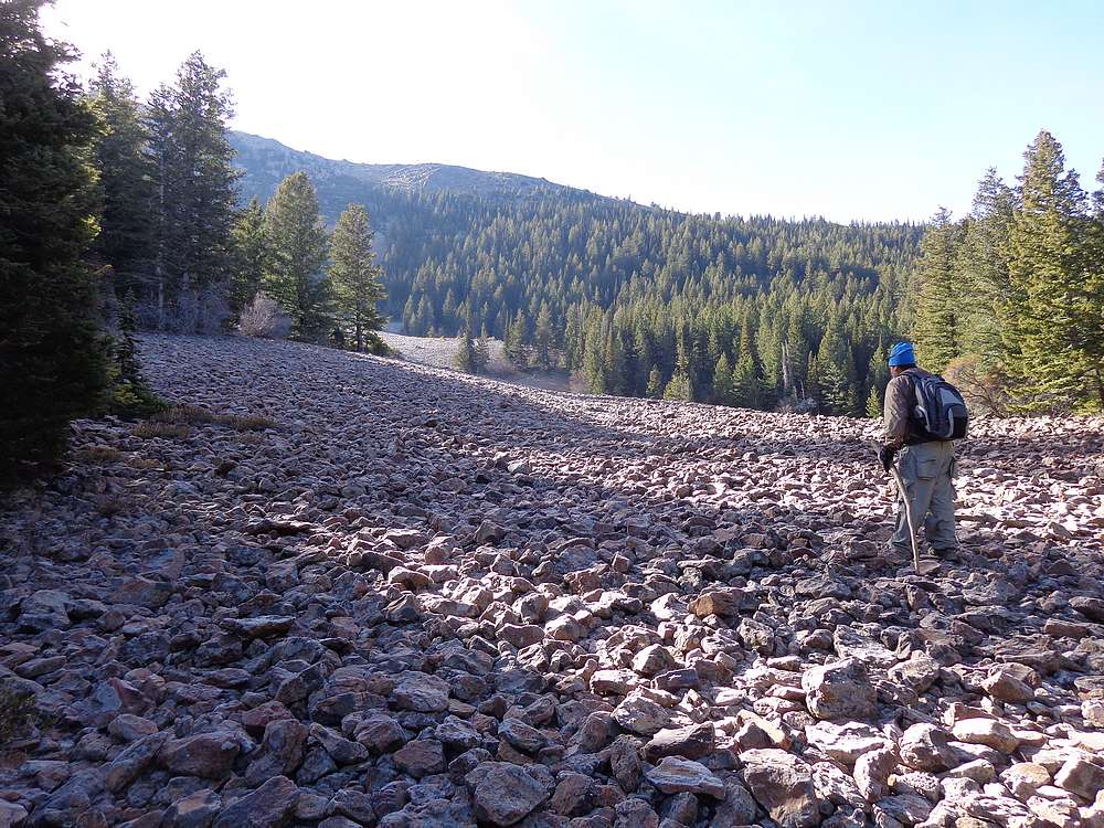
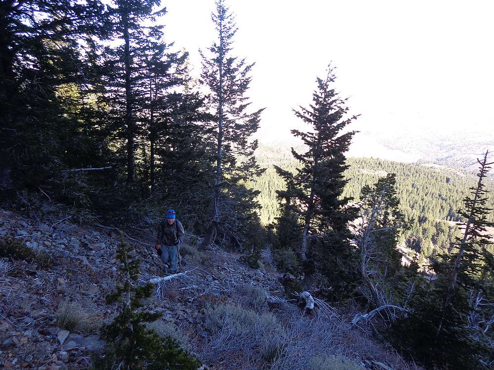
We did a brief section of bushwhacking heading uphill from the lake to Burnham Flat, and then uphill in earnest after crossing a road and then climbing a large talus field. The slope got steeper as we neared the ridge northwest of Hayden Peak, and we were even able to do a little rock scrambling just before the ridge. From there, we just hiked up to the summit.
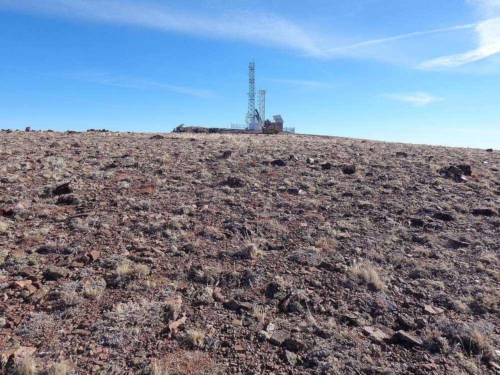
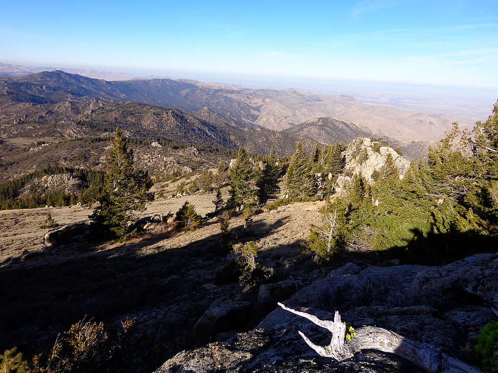
The summit of Hayden Peak is home to some communication equipment, so not exactly a wilderness experience. But the views were impressive. Brett and I enjoyed the views for a bit, but couldn’t stay too long since we still had quite a bit of ground to cover.
Our next objective was Turntable Mountain. We retraced our path back down Hayden’s northwest ridge, then up Turntable. We had to navigate through some mountain mahogany in a few places, but made it to our second summit for the day without incident.
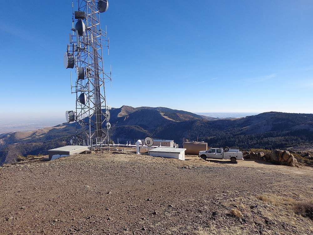
From Turntable, we had a good view of our next target, War Eagle Mountain. We hiked cross-country down to the west, then up an ATV trail. After brief lunch break at Pt 7965’, we continued north to War Eagle. The area was littered with various roads and mining activities. On the summit of War Eagle, met three guys doing some work on the communication tower.
We didn’t stay long on top of War Eagle before heading downhill cross-country to the north until we met the road heading to Linehan Flat. From there, we hiked down yet another jeep trail back to the saddle where we had parked. I then made a quick hike up Peak 5907’ (Scotch Bob Peak), including some scrambling up the summit block rocks. The sun was getting low in the sky at this point, but it was a good vantage point to see the ground we’d covered throughout the day. Brett thought he remembered this peak being on private property, so elected to skip this last section even though there were no signs or other indicators.
All in all a great day. I had covered about 15 miles and 5000’ of elevation gain, and tagged 4 peaks in 7 hours of hiking. Definitely an added bonus running into Brett and spending the day catching up with him on his many adventures.
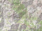
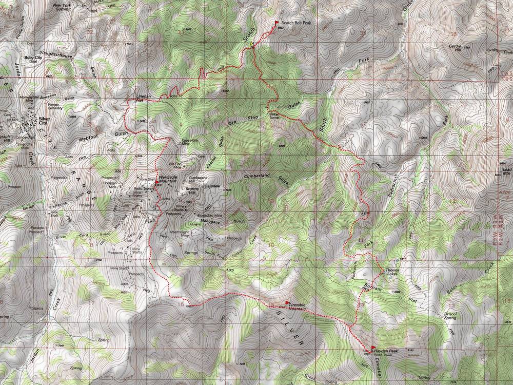
Map of the route, 15 miles and 5000' gain round trip. |
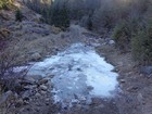
Frozen creek crossing the road. |
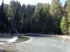
Chilly morning at Thomas Lake. |
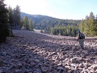
Starting up the talus field. |

Making our way up the north slopes of Hayden Peak. |
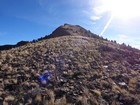
Final stretch to the summit of Hayden Peak. |
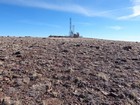
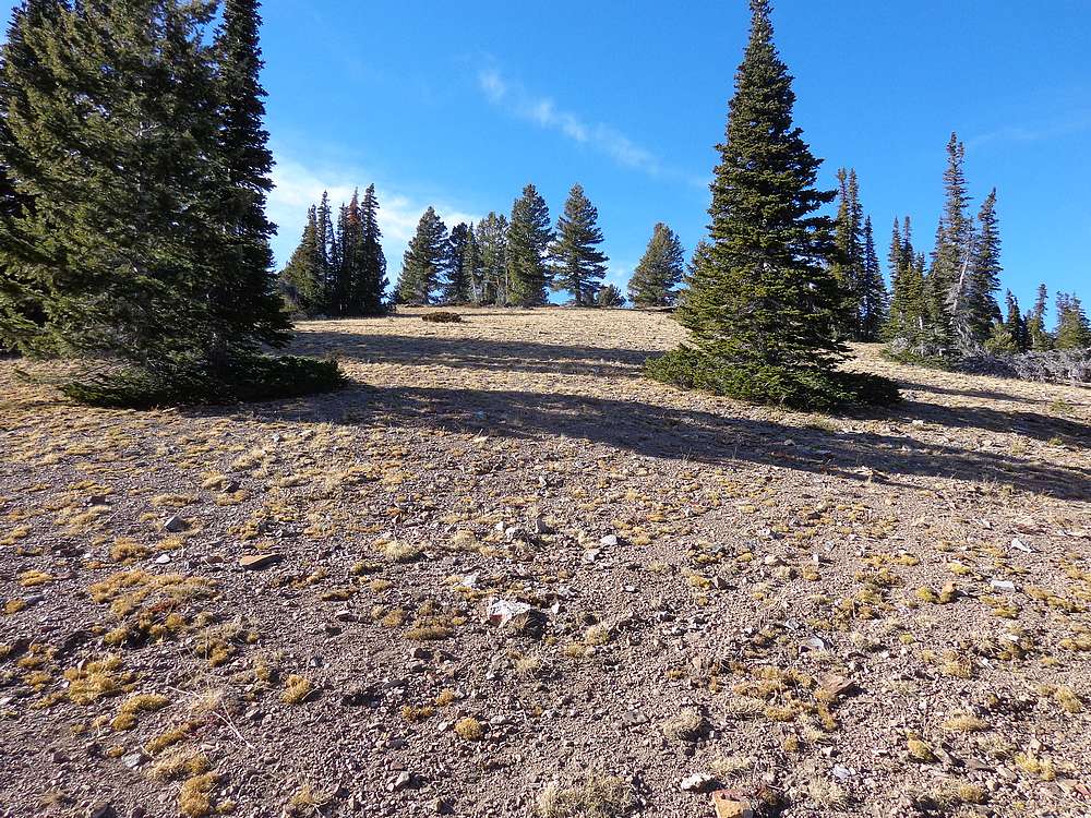
Hayden Peak summit area. |
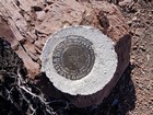
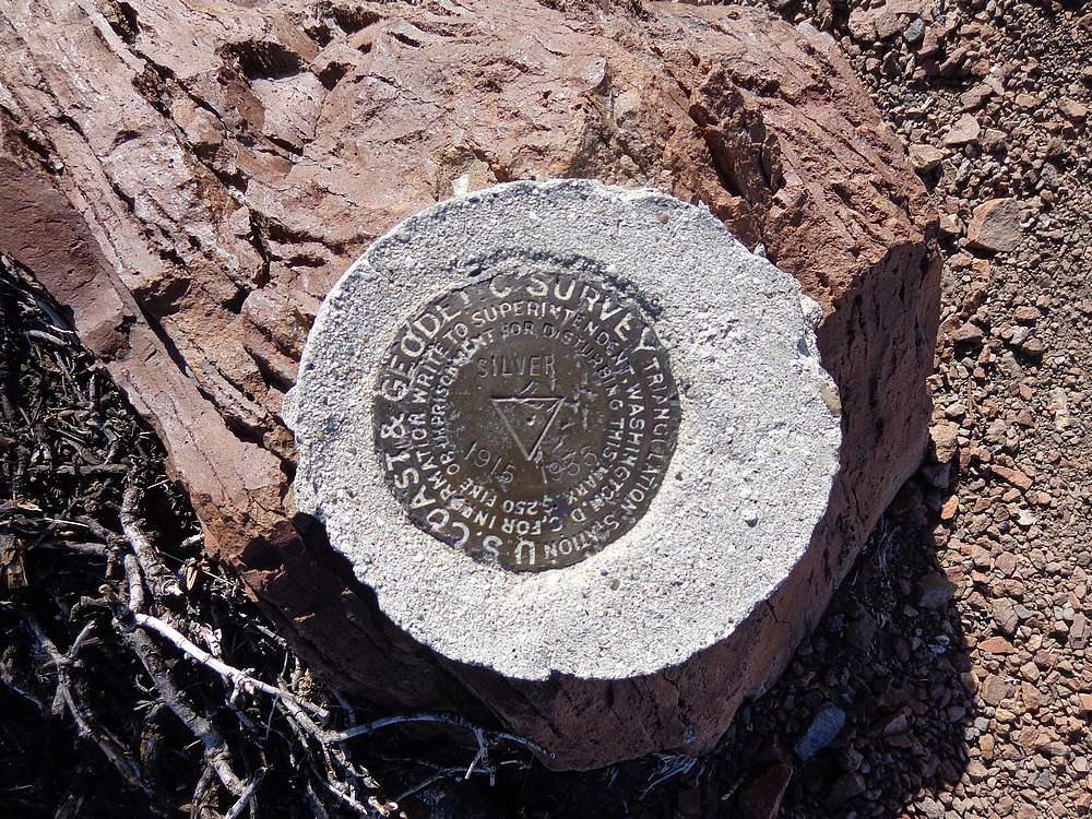
USGS marker on the summit. |
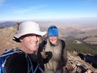
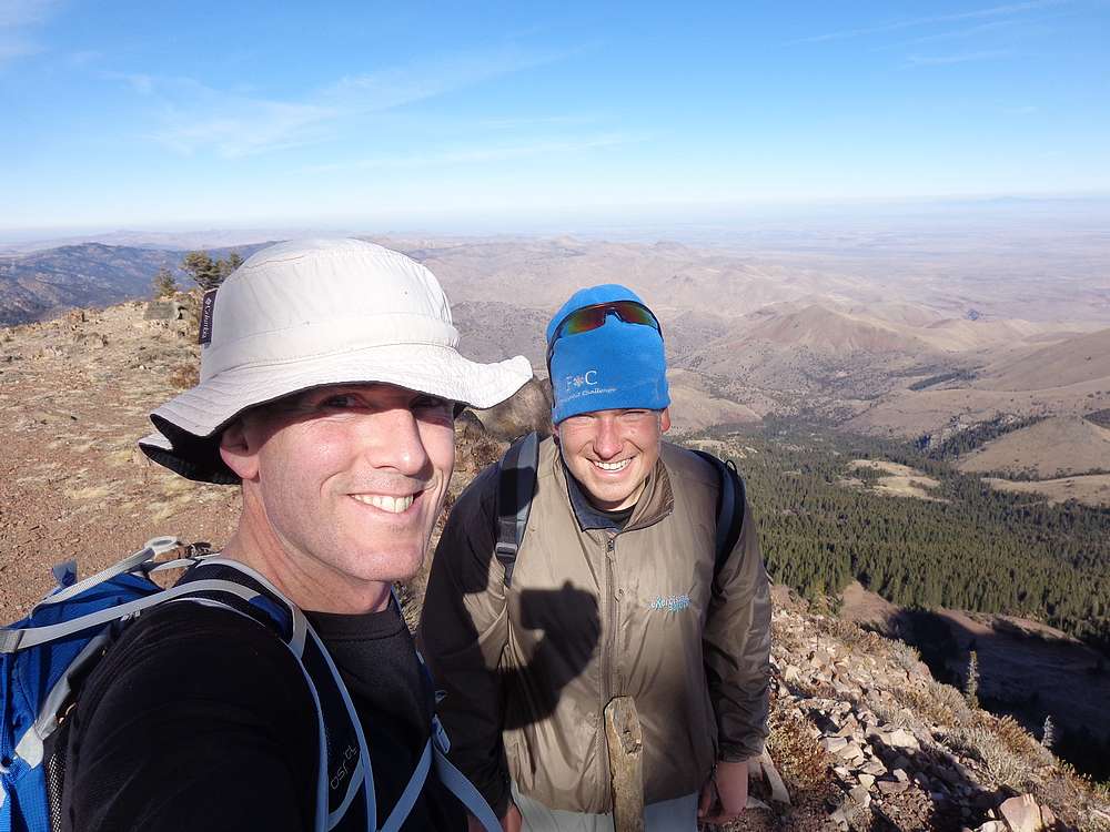
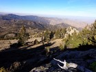
Victory shot on the summit of Hayden Peak. |
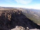
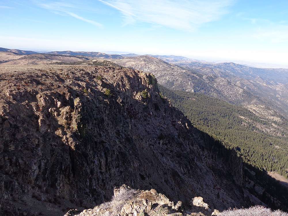
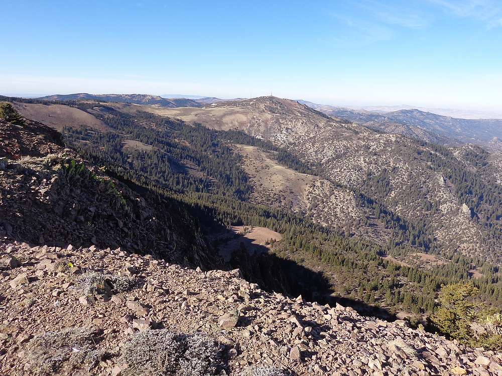
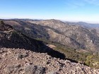
Summit views. |
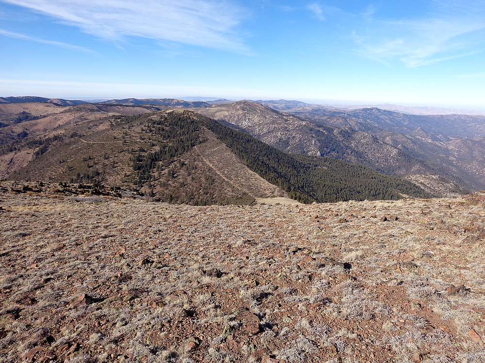
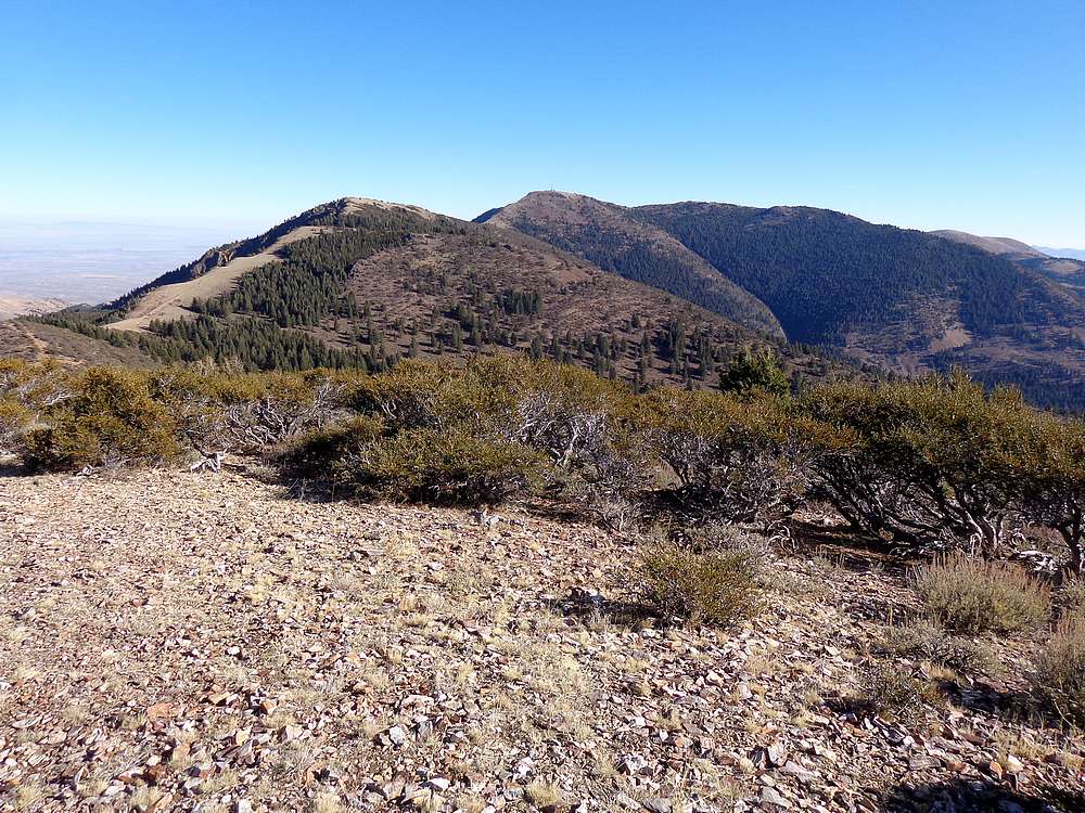
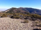
Turntable and War Eagle from Hayden Peak. |

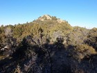
Nearing the summit of Turntable Mountain. |
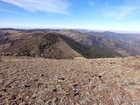
Looking back on Hayden from Turntable. |
War Eagle Mountain from Turntable Mountain. |
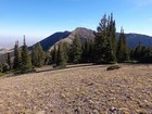
Turntable and Hayden from our lunch spot on Pt 7965. |
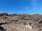
Heading up War Eagle Mountain. |
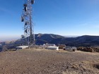
Utility work being done on War Eagle Mountain. |
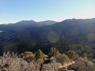
Descending from War Eagle was one of the more scenic sections. |
View toward the summit of Scotch Bob Peak. |
Hayden and Turntable from Scotch Bob Peak. |
|
|
|