|
Francs Peak
Elevation 13,153'
An crazy day watching grizzly bears while climbing the highest peak in Wyoming's Absaroka Range
August 10, 2018
43.9613°N / 109.3393°W
Francs Peak is the highest mountain in Wyoming’s Absaroka Range, and the only one taller than 13,000 feet. Folks come to climb Francs because of its 13er status, as well as over 4000 feet of prominence. There are many approaches used to climb the mountain, the shortest of which is via the Phelps Mountain 4WD road from the north.
Of course no description of Francs Peak is complete with mentioning grizzly bears. Hikers who visit in late summer are likely to see some of the large omnivores, who congregate here to gorge on Army Cutworm Moths. These moths are high in fat content, which is important to bears who may consume up to 40,000 moths in one day. There are reports that during the moth feeding frenzy, Francs is temporarily home to the highest population density of grizzly bears in all of North America.
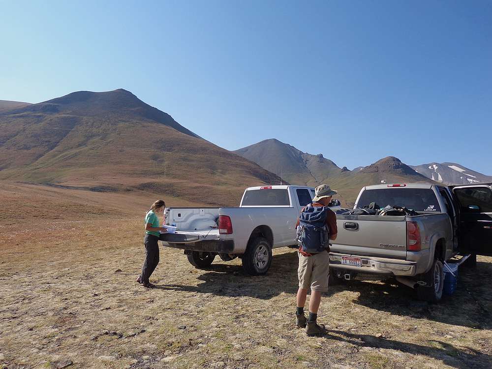
After a great hike to Cloud Peak the prior day, Francs Peak was the next objective in our “Michael’s Awesome Peaks” road trip. Michael, John, and I had tent camped at an RV park in Meeteetse, then headed for the Phelps Mountain 4WD road. We saw a ton of wildlife along the way, and then John drove us up the steep rocky road. At the trailhead, we found a young gal sitting on the tailgate of a Forest Service pickup truck. She asked if we would carry a GPS unit for here so she could collect data about bear and human interaction. Sure, no problem.
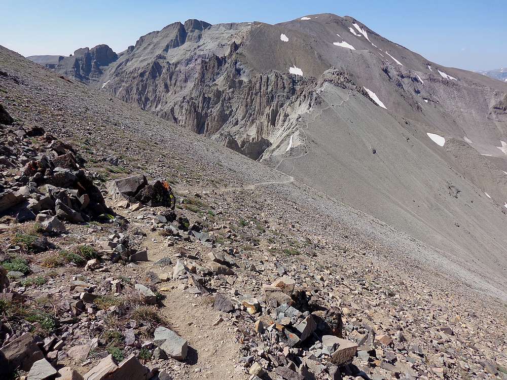
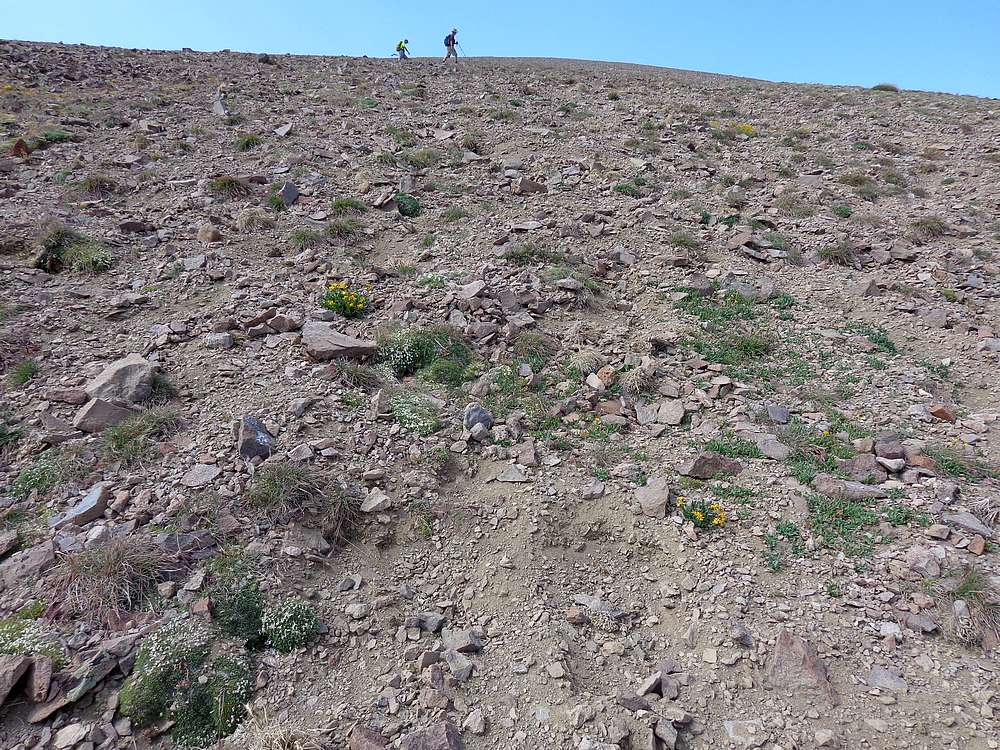
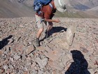
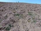
There was no warmup section for Francs, and we started immediately up a steep hillside that was a mix of grass and rocks. Once up on the ridge, we went into caution mode. Each of us was regularly hooting, hollering, or singing so as not to suddenly surprise any unsuspecting grizzly bears. Fortunately, we were well above tree line, and hoped the open terrain would make it easier to spot bears from a distance. This was mainly true, but there were spots were we crested ridges or rounded bends that were still a little spooky.
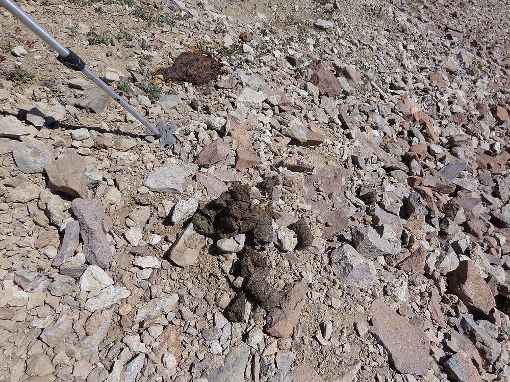
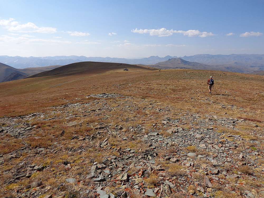
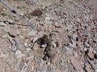
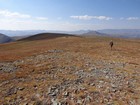
It was beautiful open country, and the Absaroka’s are uniquely beautiful. But our minds were on bears. The first evidence was torn up slopes and large piles of scat north of Pt 12509’, and then a well-defined trail that led southwest from Pt 12578’. It looked like a sheep trail, but up close all we say was bear paw prints and more scat that looked like it may have come from a small horse. Needless to say we did plenty of hooting and hollering as we followed the trail down and then up the ridge.
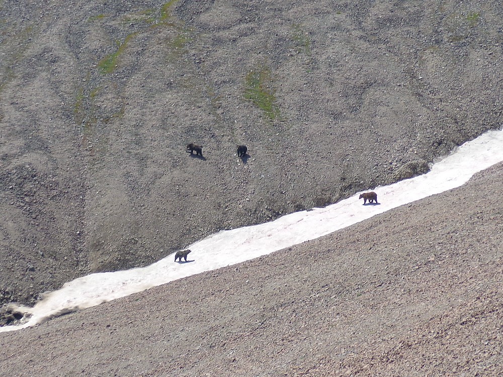
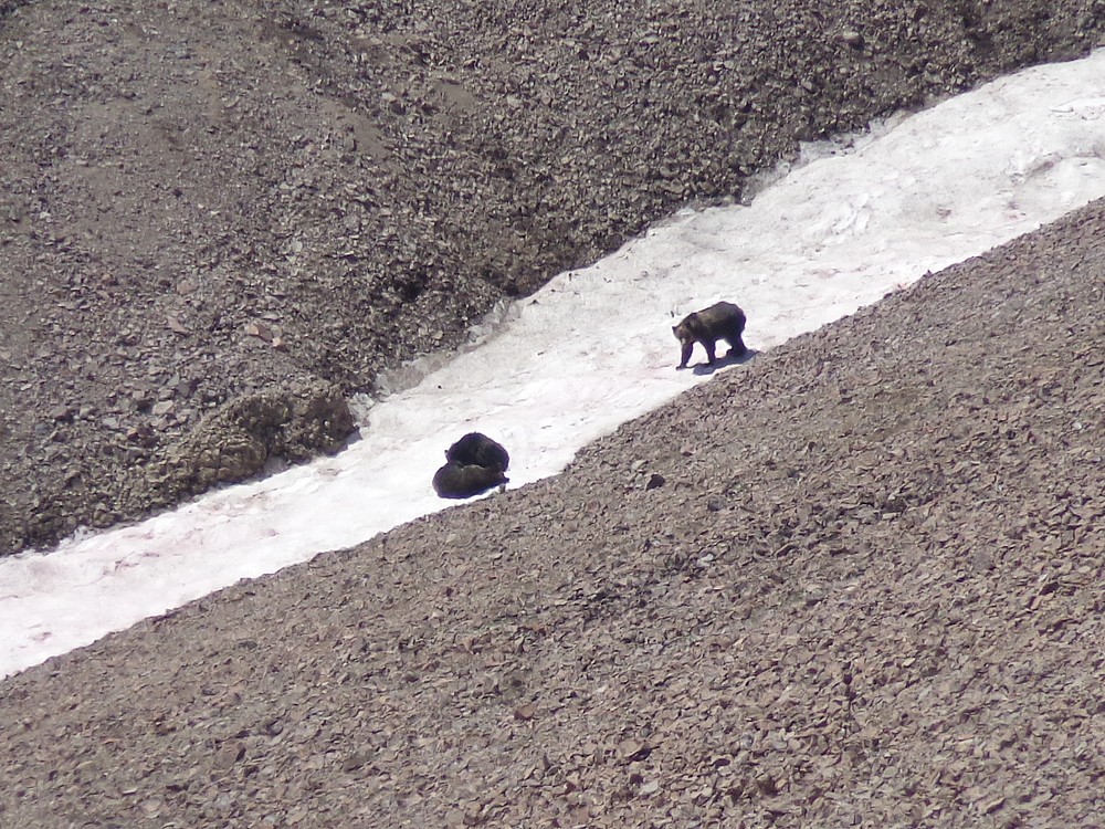
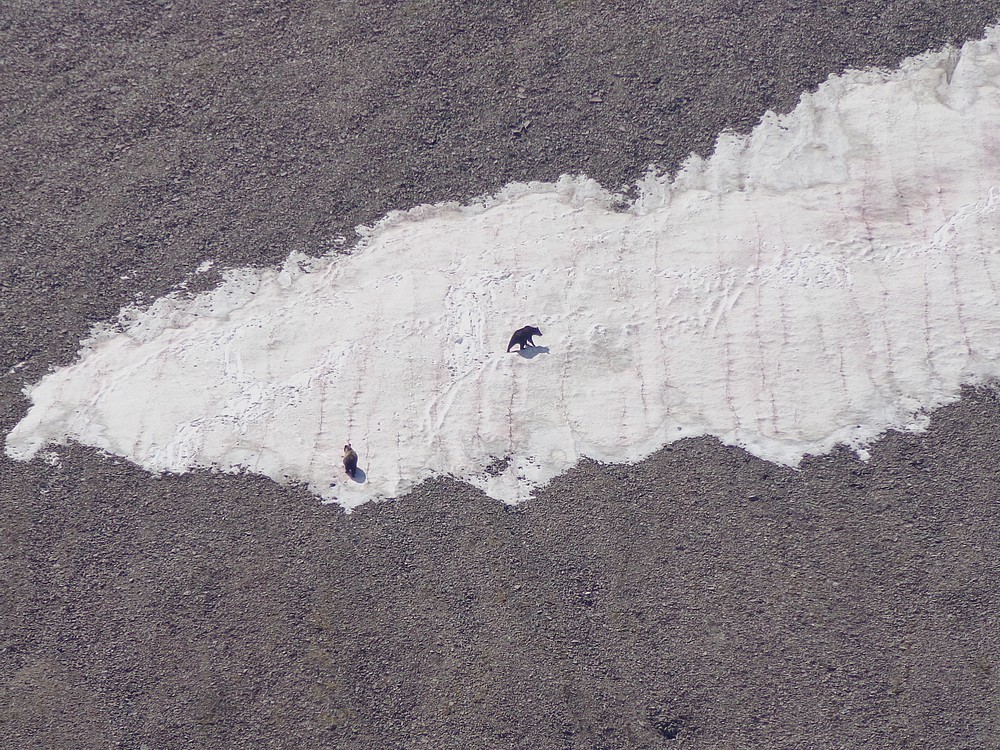
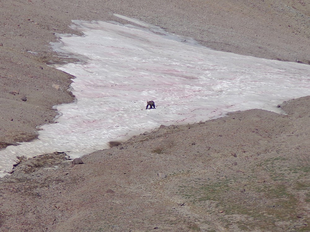
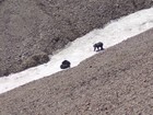
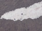
Our first bear sighting was a sow and three cubs downhill from us, north of Pt 12816’, and then four more on the other side of the ridge not much further ahead. Wow! Cooling off laying in snowbanks seem be the most common pastime for the bears. We were pretty energized after seeing eight bears in such short order. All of them had turned and ran the other direction, but the next one we say wasn’t as concerned. A lone male in the distance actually headed toward us briefly when we yelled, but then turned and ambled away across the hillside. The whole morning had been pretty surreal.
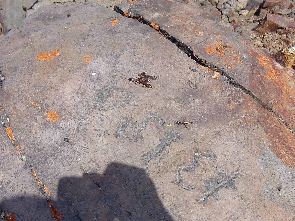
Once on the summit of Francs Peak, there were no bears, but plenty of flying insects. They were pesky, so I decided to walk along the ridge to the south while eating my PB&J. I saw another bear down in the valley below, then realized I’d left my bear spray back on the summit attached to my pack. Time to head back!
As we headed back down, we spotted a really cool looking two-tone grizzly on the slops far below us. John got out his binoculars so we could take a better look. This guy was impressive. We continued hiking, and saw a few more off the ridge down below us, presumably some of the same one we’d seen earlier. All in all, we saw at least 11 different bears. Totally amazing.
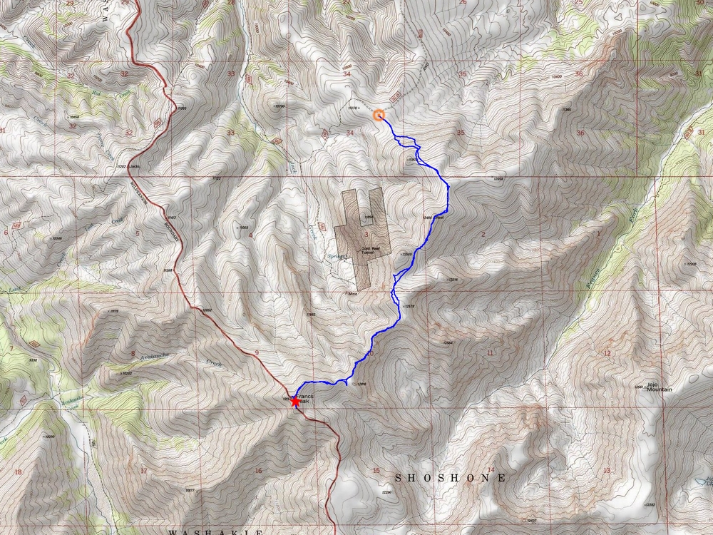
We stayed on our toes as we retrace our path back to the truck. No other surprise bear sightings. Round trip was almost 9 miles, 3400’ elevation gain, 11 grizzly bears, in just under 7 hours. Wow, what a day. Next up was some dinner in Cody, a late night drive through Yellowstone, and a climb of Mount Jefferson the next day.
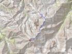
Map of the route, 8.5 miles and 3400' gain round trip. |
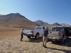
Trailhead information gathering. |
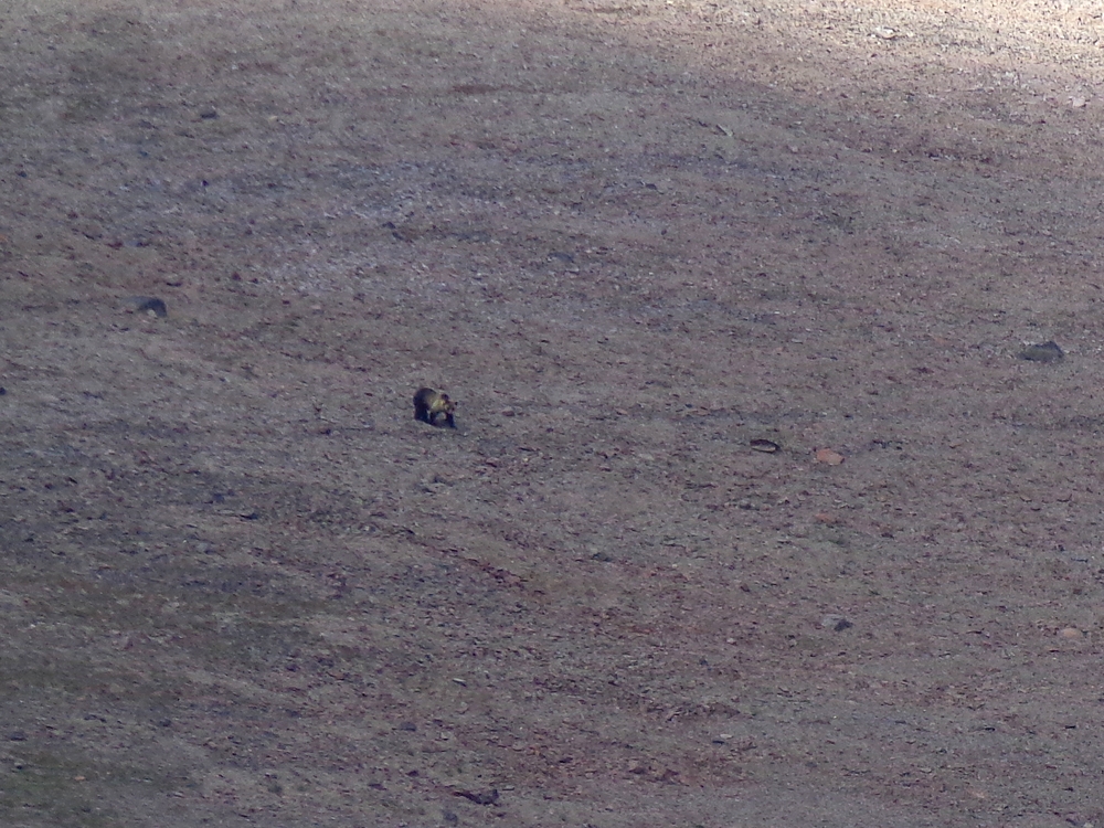
Flipping rocks looking for moths. |
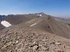
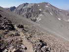
View toward Francs Peak. |
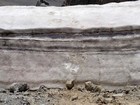
Big scat! |
This trail gets regular bear use. |
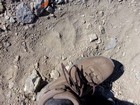
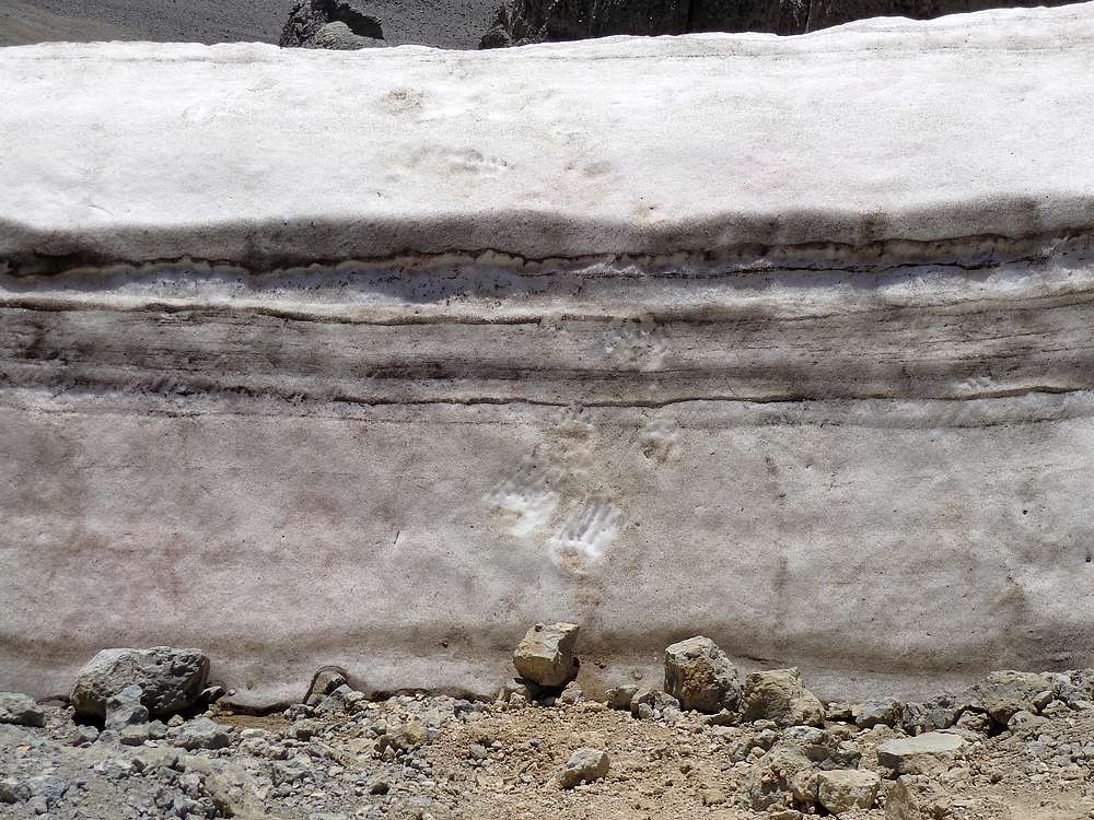
One of many bear prints on the trail. |
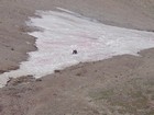
Bears like snow to keep cool. |
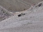
Sow and three cubs. |
Three grizzlies in the snow. |
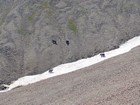
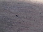
Now there are four, about take off once the see us. |
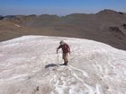
Bear climbing snowfields. |
Checking out bear tracks in the snow. |
Big grizzly bear heading uphill toward us. |

Crazy flying insects on the summit of Francs Peak. |
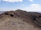
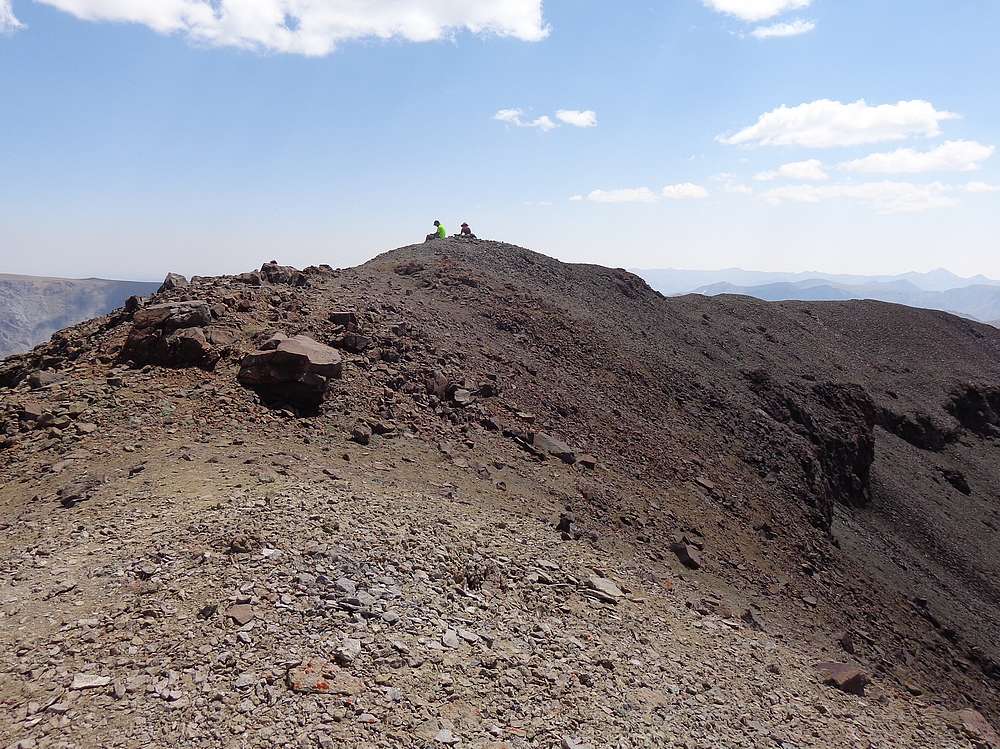
Resting on he summit of Francs Peak. |
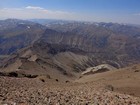
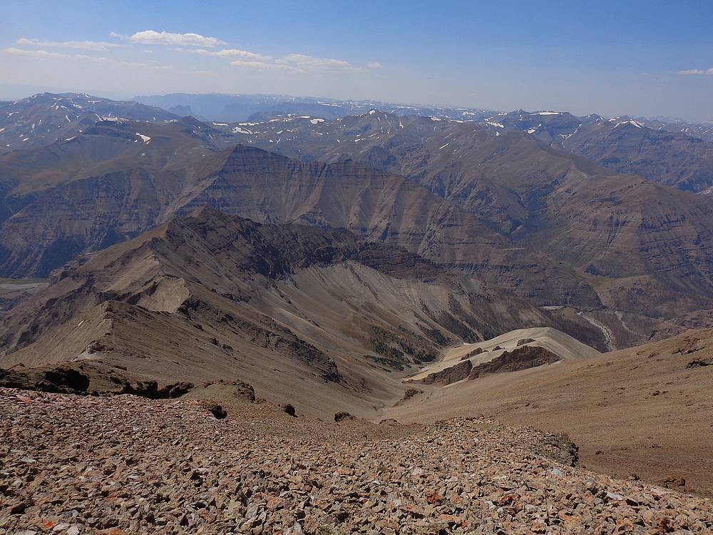
Absaroka Mountains to the northwest. |
Close up of an impressive looking two-tone grizzly. |
Hillside torn up by bears, on our way back. |
Almost back to the truck. |
|
|
|