|
Profile Gap 11 Peak Traverse
An amazing ridge traverse in the Salmon River Mountains including 11 summits!
|
Related Links:
- IdahoSummits Trip Report
- Splattski Trip Report
- IdahoAClimbingGuide Info
- Trailhead Location
- My GPS Tracks
- Crater Peak: TL, PB, LOJ, Map
- Willson Peak: TL, PB, LOJ, Map
- Big Creek Point: TL, PB, LOJ, Map
- Profile Peak: TL, PB, LOJ, Map
- Quartz Ridge #3: TL, LOJ, Map
- Quartz Ridge #2: TL, LOJ, Map
- Quartz Ridge #1: TL, LOJ, Map
- Parks Peak: TL, PB, LOJ, Map
- Rainbow Ridge #3: TL, LOJ, Map
- Rainbow Ridge #2: LOJ, Map
- Rainbow Ridge #1: LOJ, Map
|
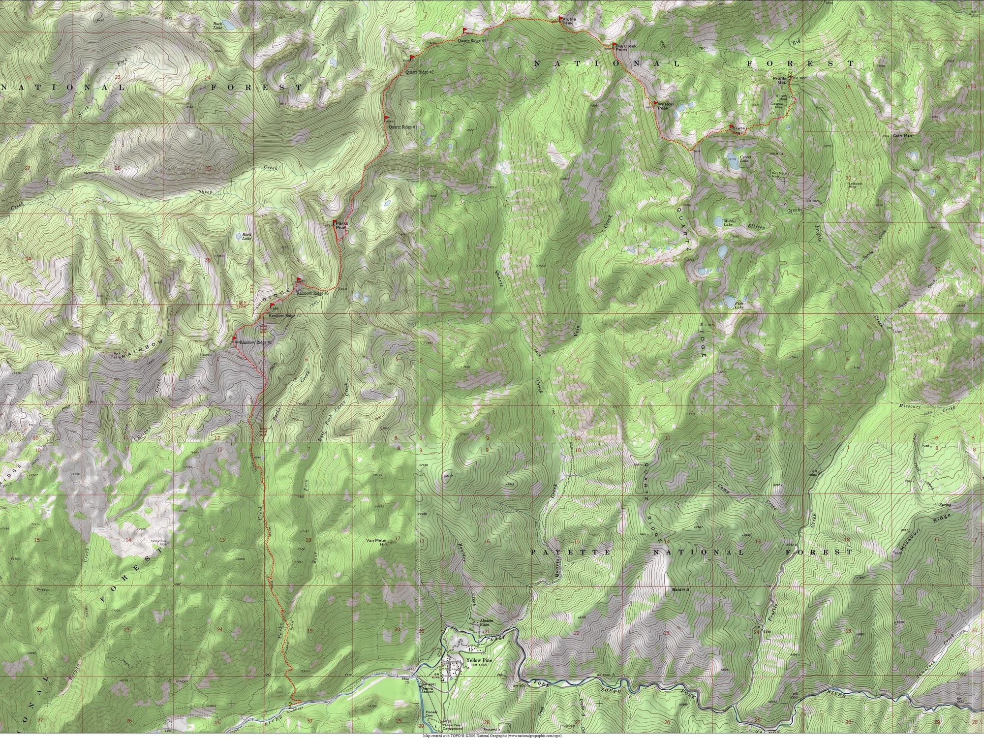
Central Idaho’s Salmon River Mountains are vast and remote. This is “big country” that doesn’t see a lot of visitors. So if you’re looking for great scenery and solitude, this is the place to go. When John Platt suggested an amazing point to point ridge traverse where we could tag a bunch of summits, I was all ears. John had come up with a route just outside of the Frank Church River of No Return Wilderness, in an area north of Yellow Pine. The plan was to start at Profile Gap, traverse a serpentine ridge east and then south, finishing at the Parks Creek trailhead on the East Fork South Fork Salmon River.
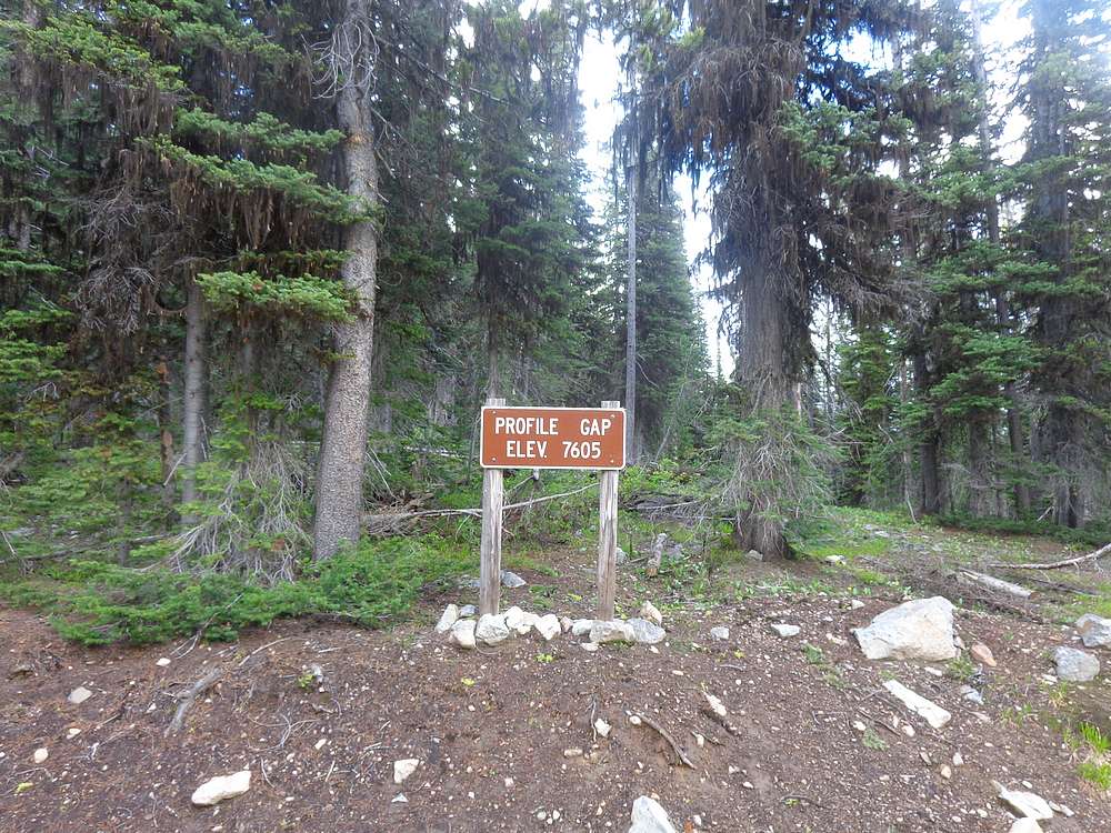
After much anticipation and weather watching, plans were set. John and I met Dan and Carrie at Ponderosa Campground on the Secesh River Friday night, and then drove to the Parks Creek trailhead to meet Tom on Saturday morning. We then all piled into one vehicle and drove up to Profile Gap via Yellow Pine. We weren’t positive the road would be snow-free yet, but were happy to make it to Profile Gap without incident. Now it was go time, and we hit the trail at 7:30am, full of excitement.
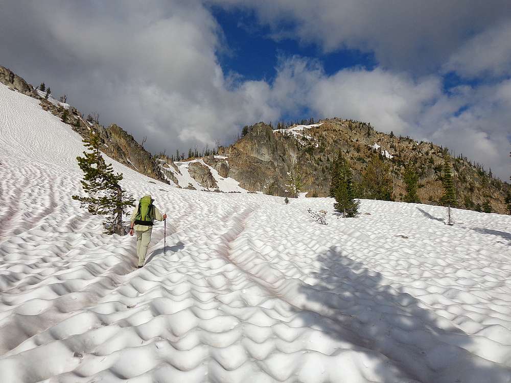
Our hike headed south from Profile Gap briefly on an old mining road then cross-country toward Crater Peak. After a short scramble to reach the ridge, and a little routefinding, we arrived at our first summit of the day. This was our first taste of the great views we’d experience throughout the day, and it felt good to have the first 1200’ of elevation gain out of the way. We knew it was going to be a long day, but taking this first bite out of the elephant was a great start.
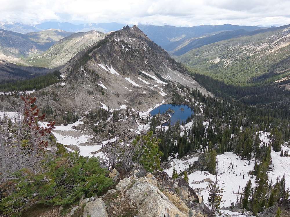
After Crater Peak, we started a pattern that would repeat throughout the day. Descend to the next saddle, climb up to the next summit, soak in the views along the way, repeat. Our next stop was Willson Peak via its long south ridge snowfield, and then continued on to Big Creek Point. Next up was Profile Peak. To me this one was one of the highlights of the day, with its impressive west face cliffs, and great views of the tranquil Profile Lake to the north.
From Profile Peak, we headed west to Peak 8615’ (I’m calling this Quartz Ridge #3), whose summit was still covered by a large snowfield, and then descended through a burn area before climbing up Peak 8608’ (Quartz Ridge #2). The final climb up this peak was interesting but kinda steep, and culminated with a neat vertical summit boulder that Splattski briefly perched on for a summit hero shot. At this point fatigue was starting to set in, so we took an extended break for lunch and resting our feet.
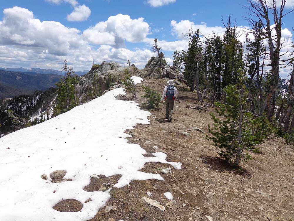
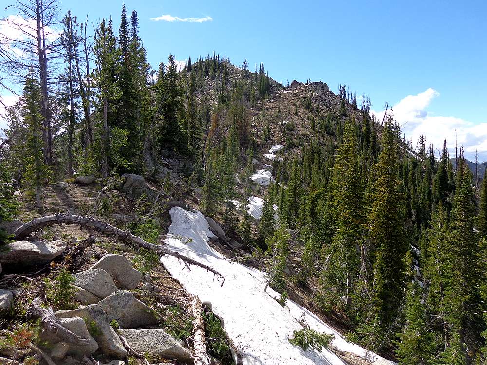
Next up was Peak 8569’ (Quartz Ridge #1), highlighted by its long and open summit ridge with some nice sandy footing. The summit rock involved a short scramble and offered great views looking back on the terrain we had covered encircling the headwaters of Quartz Creek. In spite of being tired, our spirits were high as we continued along the ridge. In certain places we were able to follow an intermittent trail that isn’t included on the current topo maps, but is shown on the historical maps dating back to 1915. Talk about an old trail!
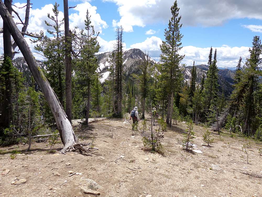
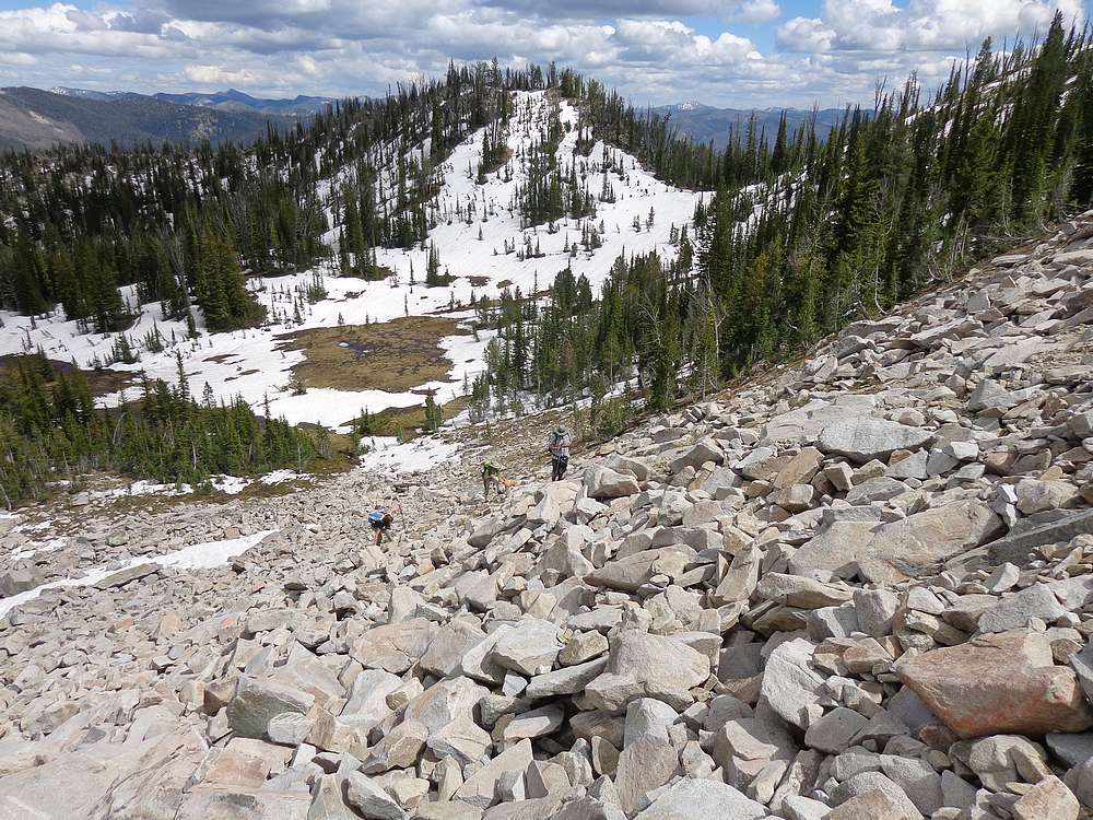
After descending from Quartz Ridge, things got more interesting as we planned our attack on Parks Peak. The northeast ridge looked cliffy, so we ended up side-hilling around the east face, and then across some good sized boulder fields. Tom had climbed Parks before, so he continued south to the saddle while the rest of us climbed up toward the summit ridge and then followed the trail through the rocks to the summit. After a brief break at the old lookout foundation, it was time to head down. Once we caught up with Tom, I was the only one interested in tackling the last three peaks in reach. So the rest of the group headed down the trail, and Splattski would pick me up later after taking care of the car shuttling.
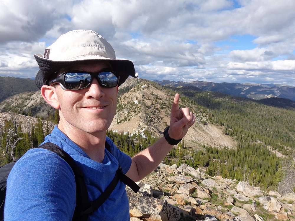
Now solo, I tried to keep a steady pace climbing the three summits that made up Rainbow Ridge. The peaks were fairly close together, with only about 400’ of gain for each of them, so it only took me about 90 minutes to traverse the ridge. I took an extended snack break on the last peak to enjoy the views and revel in the accomplishment of having tagged 11 summits in a single day. Wow!
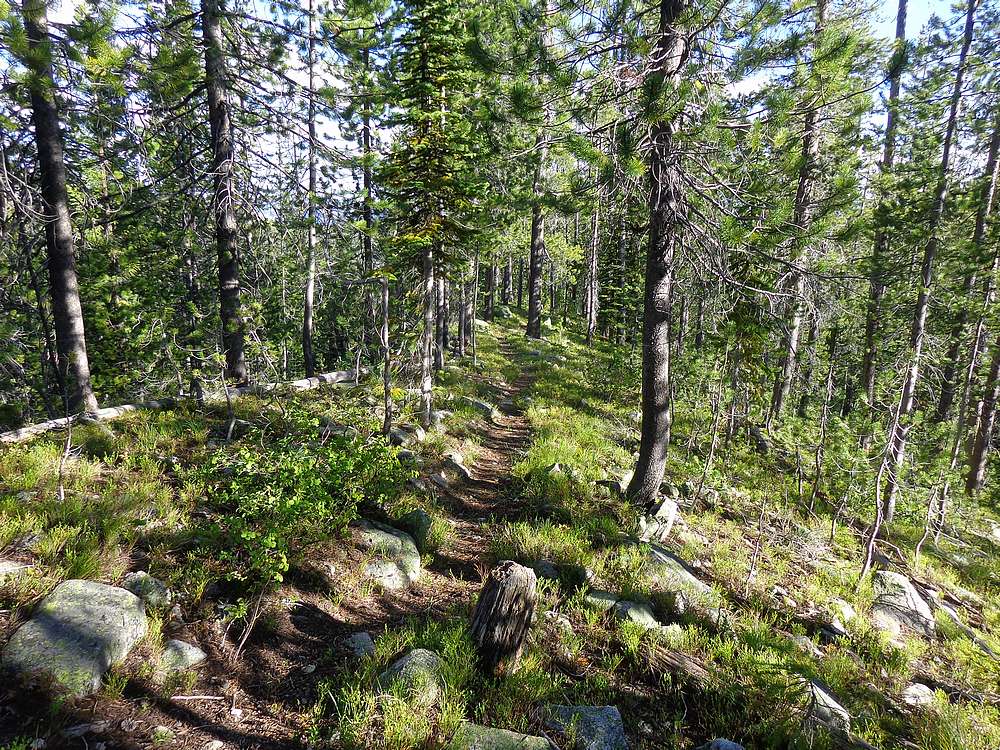
It was all downhill from here, but still over 5 miles remaining back to the trailhead. After descending a gentle ridge, I found the faint trail in the trees. The trail was enjoyable hiking, but the ongoing downhill definitely took its toll on my knees, so I was excited to finally reach the Parks Creek trailhead.
Wow, what a day! 11 peaks summited, some amazing scenery in a new area, and catching up with good friends. Round trip for me was 17 miles, 5300’ of elevation gain, 8300’ of descent, in 13 hours of hiking. Kudos to Splattski for coming up with this route!
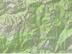
Map of the route, 11 summits, 17 miles and 5200' gain, 8200' loss. |
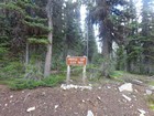
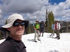
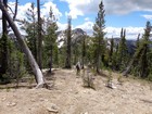
Profile Gap trailhead. |
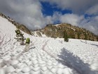
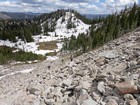
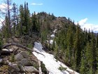
Snowfield climbing below Crater Peak. |
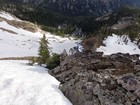
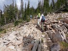
Scramble section below Crater Peak. |
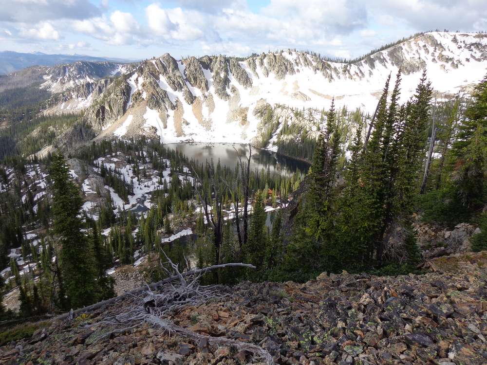
Crater Lake. Can you spot the cabin? |
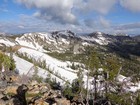
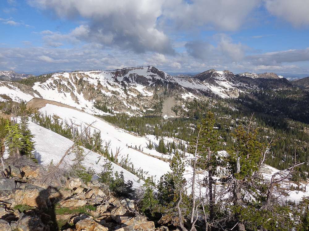
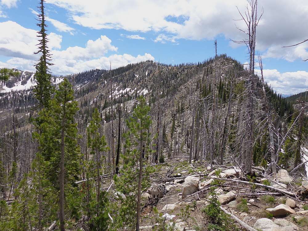
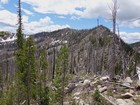
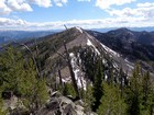
The route ahead of us from Crater Peak. |
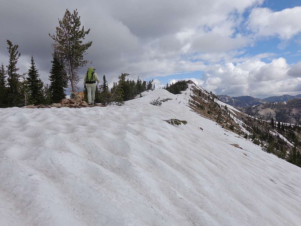
South ridge of Willson Peak. |
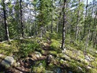
A section of old unmapped trail. |
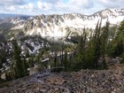
Heading up Big Creek Point, Willson and Crater in the background. |
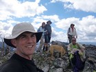
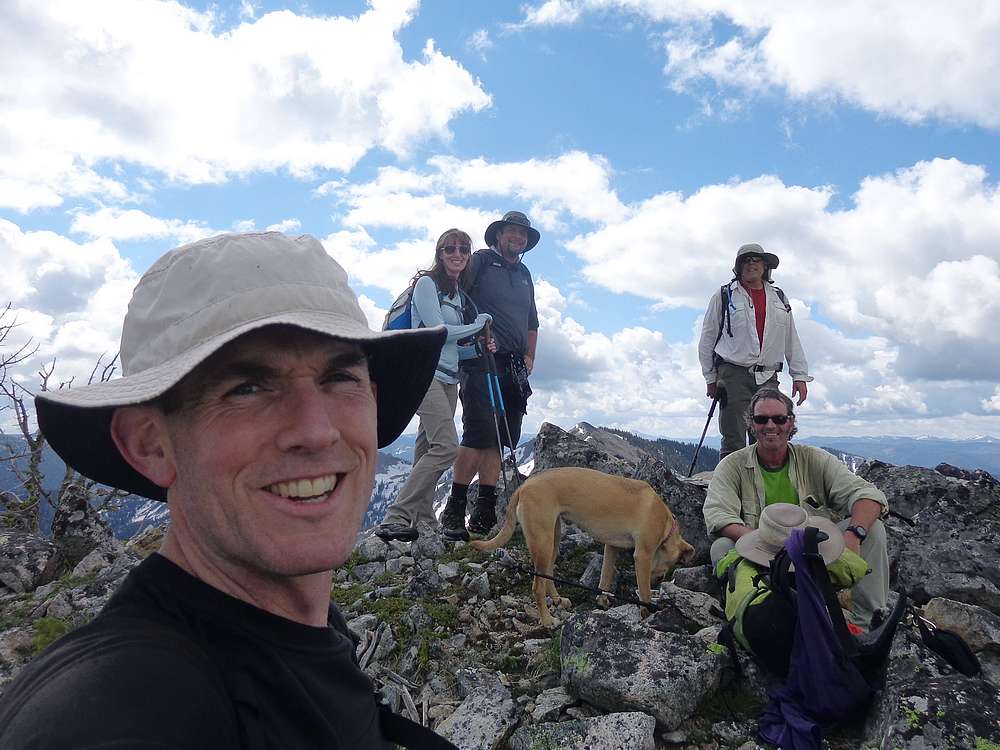
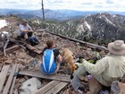
Group shot on Big Creek Point. |
Profile Peak from Big Creek Point. |

Profile Lake from Profile Peak. |
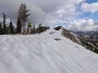
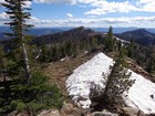
Tired but happy on Peak 8615'. |
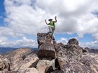
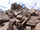
Hero shot on the summit of Peak 8608'. |
View of the Peak 8569' summit ridge. |
Nearing the summit of Peak 8569'. |
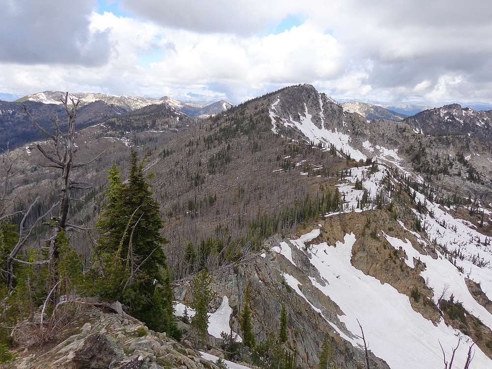
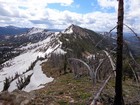
Parks Peak in the distance as we descend from Peak 8569'. |
Boulder climbing on the east side of Parks Peak. |
Rock path near the summit of Parks Peak. |
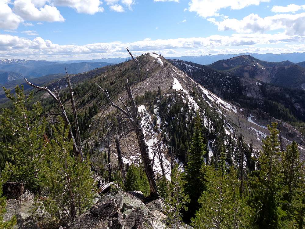
Taking in the views from Parks Peak, Rainbow Ridge in the background. |
Heading up Rainbow Ridge #3. |
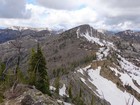
Rainbow Ridge #2 from Rainbow Ridge #3. |
Rainbow Ridge #1 from Rainbow Ridge #2. |
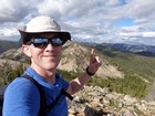
Celebrating my 11th summit of the day, Rainbow Ridge #1. Had to start over on fingers. |
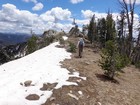
Nice section of trail on the way back to Parks Creek. |
|
|
|