|
McGowan Peak
An Excellent Winter Ascent in the Northern Lost River Range
Idaho’s Lost River Range is home to numerous impressive mountains. Many of the more famous peaks are located in the heart of the range. But the northern part of the Lost River Range, called the Pahsimeroi Range, is rarely visited. McGowan Peak is an impressive mountain located near the center of the Pahsimeroi Range.
With a low snow year, Splattski suggested McGowan as a possible winter ascent option. It didn’t take much convincing for John F, Michael and I to join the expedition. We drove to Challis the night before, grabbed a couple motel rooms, and even got to enjoy a 6am sit-down breakfast before heading to the trailhead. So much for roughing it!
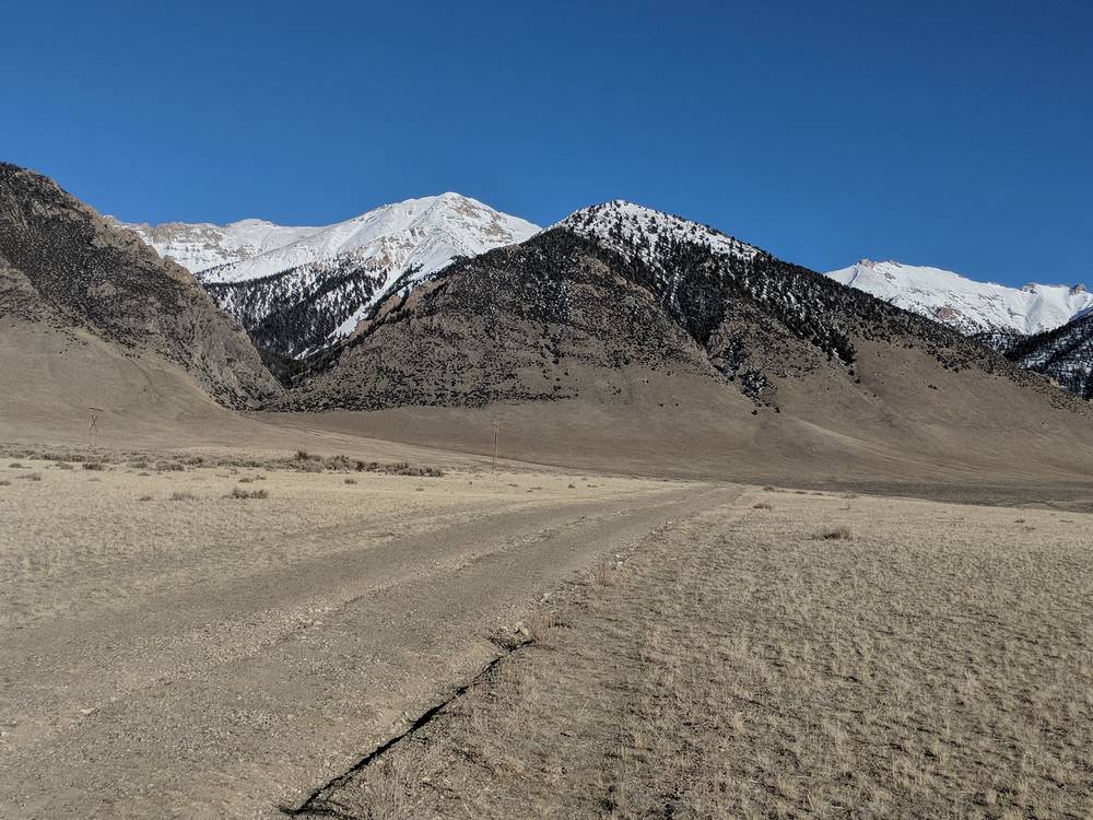
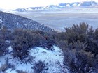
We left the highway on McGowan Greek Road, then took an un-mapped but good condition road that led us to the mouth of the unnamed drainage southwest of McGowan Peak. The sun was just rising, and the wind was blowing, so we bundled up to start our ascent.
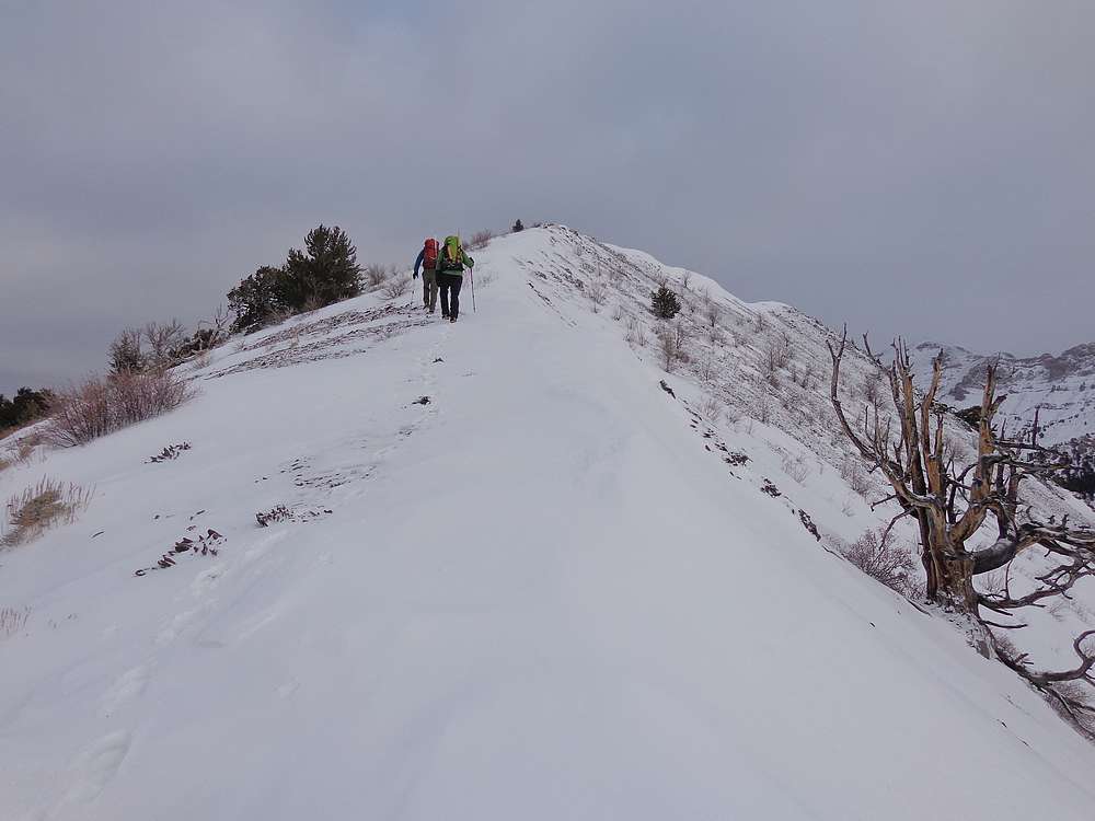
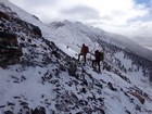
Our route took us up the snowless south facing slopes of Peak 9330’. It was steep from the start, no warm up, and we made slow but steady progress up the sagebrush and talus slopes, through some thick stands of mahogany, and then finally up the final rocky stretch to the windy highpoint. It took us just under two hours to cover the 2300’ of elevation gain to reach this first summit.
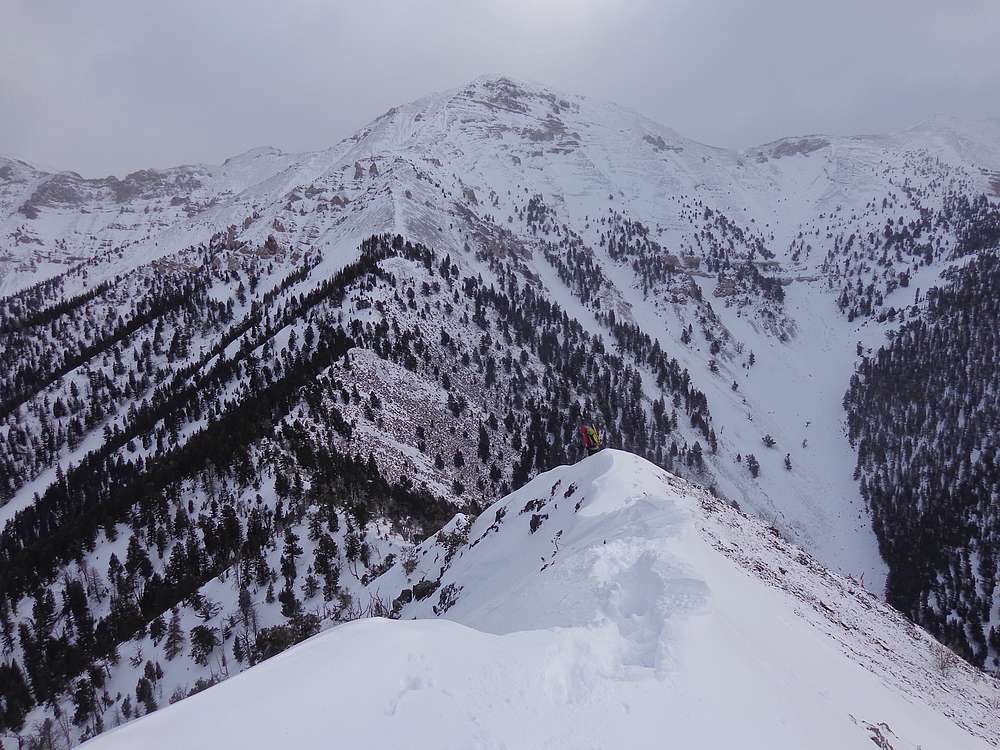
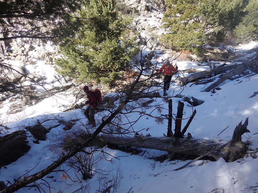
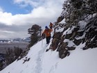
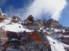
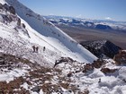
From Peak 9330’, we had had a great view of McGowan Peak to the east. We could tell the climb would be far from a cakewalk. First order of business was descending the northeast ridge of Peak 9330’ (“McGowan Southwest”), which was arguably the biggest technical challenge of the day. Michael and John descended a bit south to traverse the face, and I followed Splattski down the ridge. The ridge route included cornice crossings, powder wading, scree sliding, and post-holing. At times, those moves were done simultaneously.
Eventually we made it down to the saddle, and then some more post-holing through the trees before reaching shallower snow on the wind scoured slopes above. Of course with less snow came loose scree and shale to contend with, so footing was challenging most of the day, one way or another.
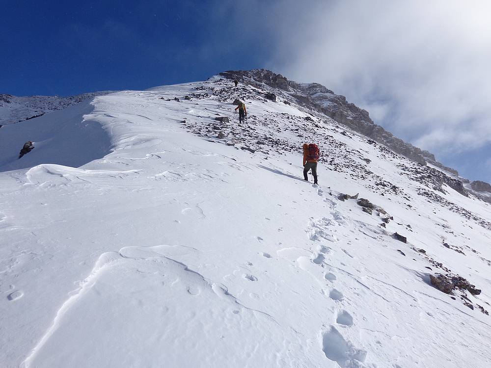
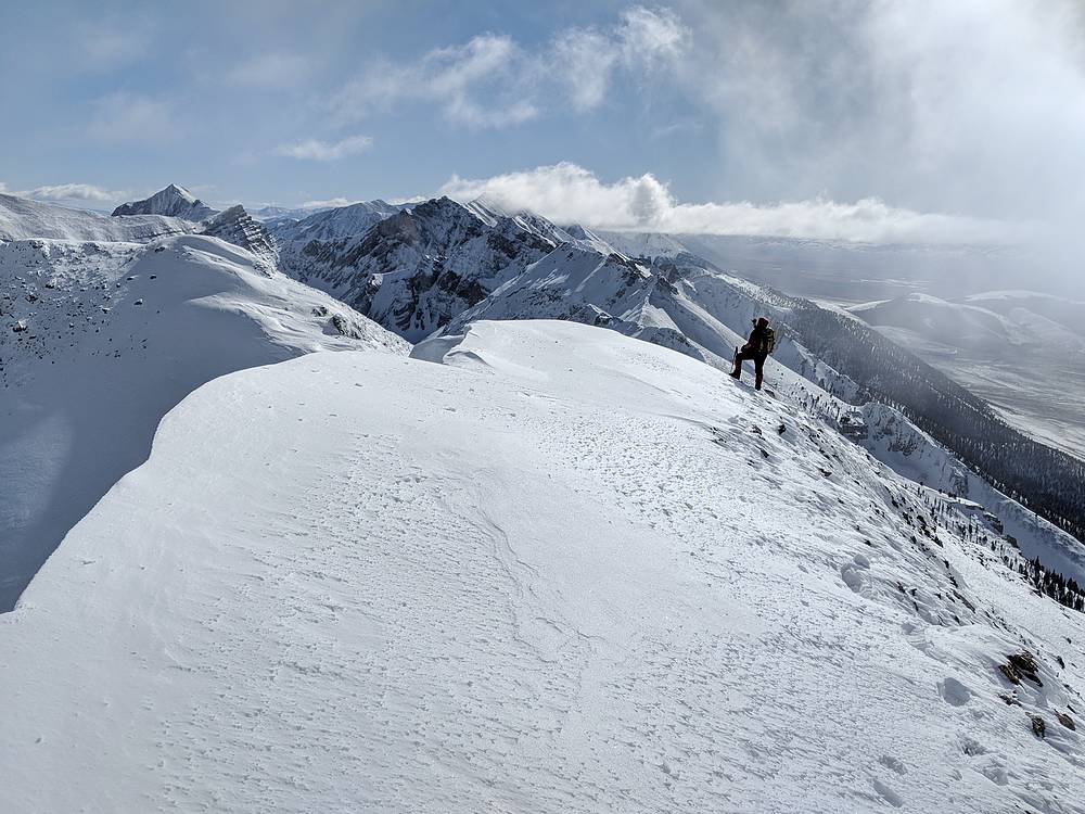
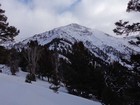
Once on the upper part of McGowan’s west ridge, we had a few rocky scrambling moves to complete. These were probably made easier with snow partially filling in around the rock bands. The grade eased off above the rock bands, and soon enough we were standing on the west summit, just under 5 hours after leaving the trailhead.
The weather forecast called for clear skies by noon, and the clouds finally disappeared not long after we reached the summit. Because of that, we were blessed with some amazing views in all directions. White Clouds, Boulder, and Pioneers were all visible. The highlight was a view of the Christian Gulch Peaks to our south. Gotta get to those one of these days!
The map indicated that the eastern summit should be higher, so we wandered over. But from there it was easy to see that the true highpoint was to the west. Next was a quick down climb to find less windy spot for lunch. We had a few bites to eat and enjoyed the views, but it was too cold to stay long, so time to head down.
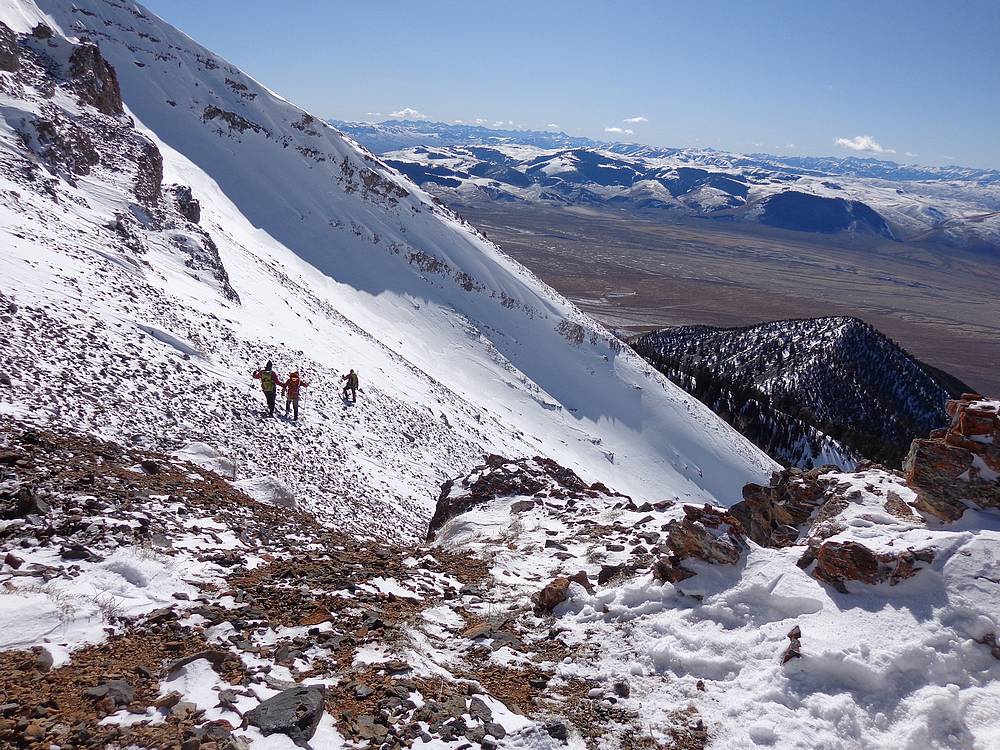
We had debated throughout the day about our descent route. Should we retrace our path back down the west ridge, drop into the unnamed valley, or do a loop to include another lesser peak to the south? We ruled out backtracking, and climbed down to the saddle on the south ridge. After a bit more debate, I was outvoted and we decided to head down into the valley. We did a bit of glissading, but the snow was less than ideal in spite of our mad skills.
Once down below tree-line and in the creek bottom, we did our best to avoid post-holing, bushwhacking, and loose talus trudging. Sometimes successful, other times not so much. But it could have been much, much worse. Still, the sun-warmed car was a welcome site. After a quick change of clothes, mountain gawking, and pronghorn watching, it was time to head home.
I can’t say enough about how much I enjoyed the day. Great friends, a new area to explore, blue skies, fantastic scenery, and a challenging winter ascent. Round trip was just over five miles, 4200’ elevation gain, in 8 hours. Hard to beat a day like this!
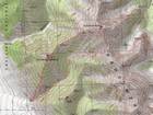
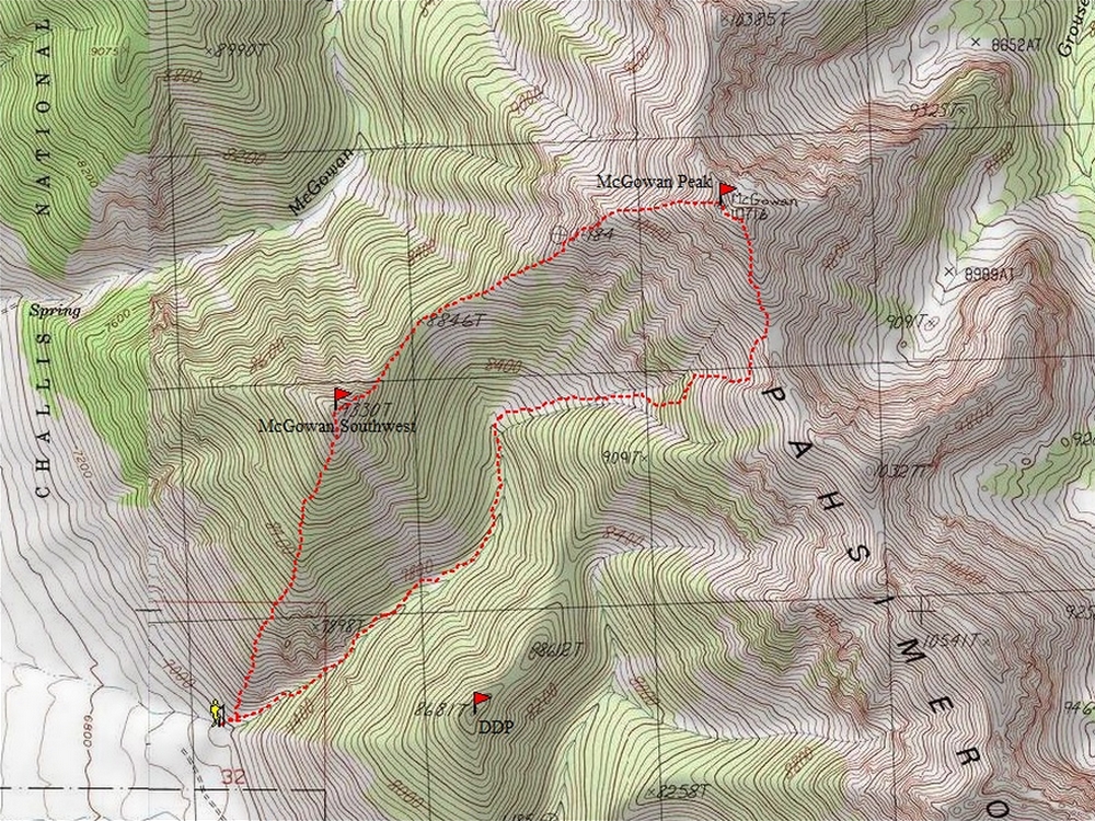
Map of the route, just over 5 miles and 4200' gain round trip. We went clockwise. |
Start of the climb, sun just starting to rise. |
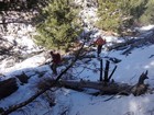
Almost finished fighting through the mahogany. |
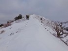
Nearing the summit of Peak 9330'. |

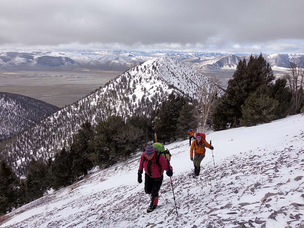
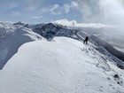
Splattski descending the northeast ridge of Peak 9330', McGowan in the background. |
Descending Peak 9330'. |
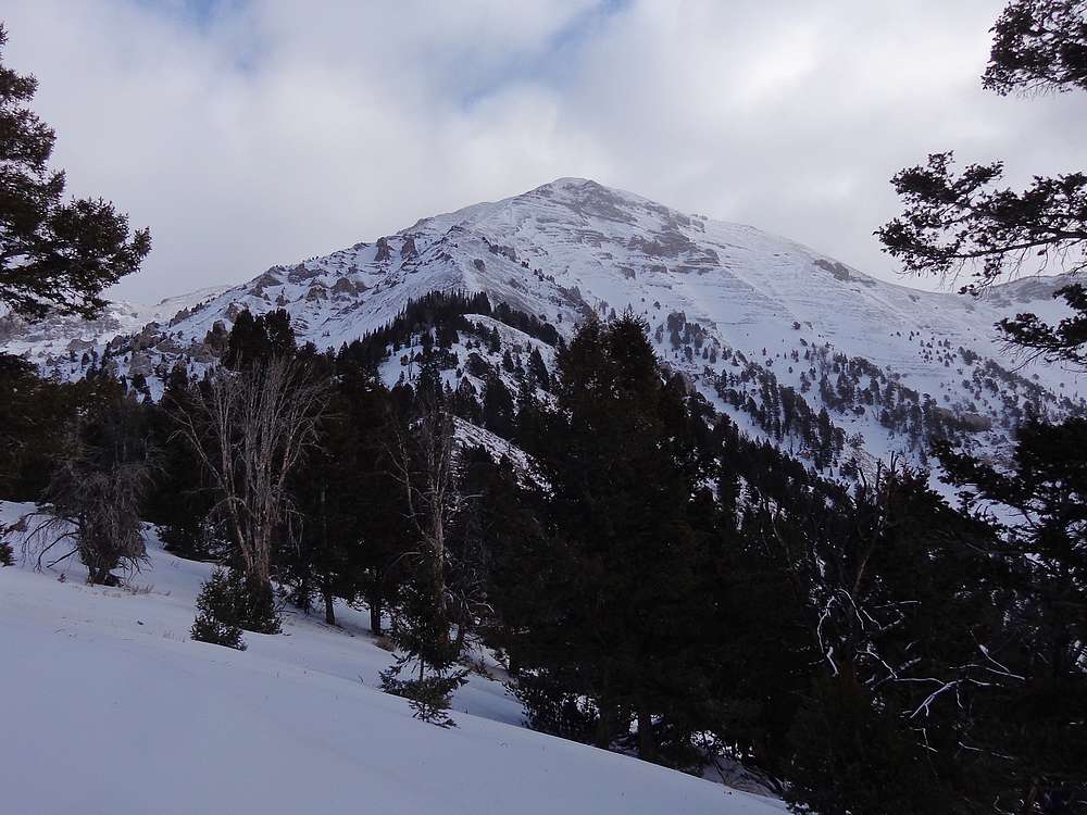
McGowan Peak from the southwest. |

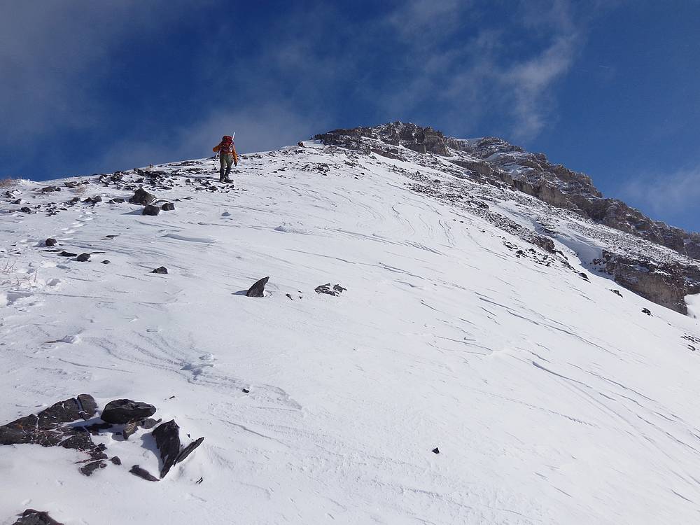
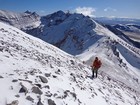
Heading up the west ridge of McGowan Peak, Peak 9330' in the background. |
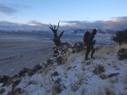
Rest stop on the way up McGowan Peak. |
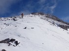
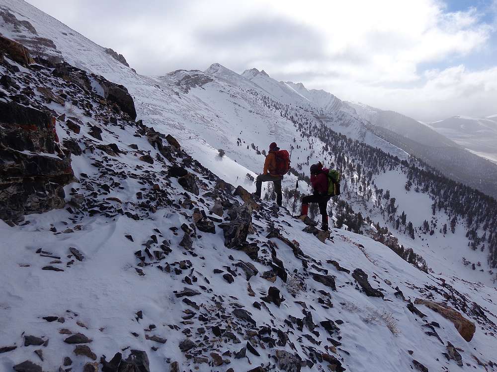
Climbing the west ridge of McGowan Peak. |
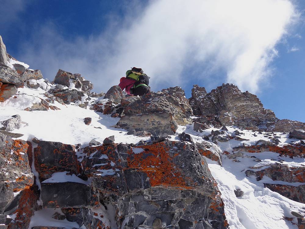
Scrambling over some lichen covered limestone rocks. |
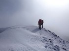
Initially cloudy on the summit of McGowan Peak. |
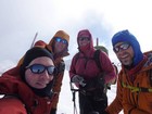
Group shot on the summit of McGowan Peak. |
Enjoying the views from the summit of McGowan Peak. |
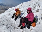
Cold snack break after summiting McGowan Peak. |
Descending the south ridge of McGowan Peak. |
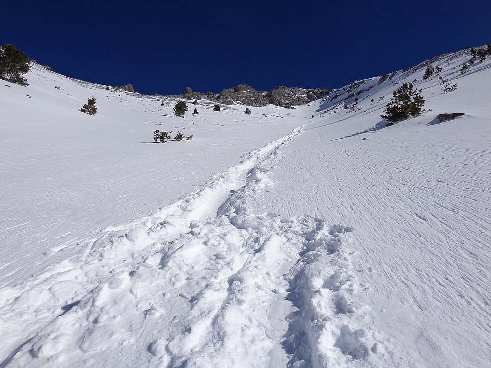
Dropping into the gully. |
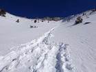
Our glissade tracks down the gully. |
Typical conditions in the creek bottom. |
Looking back on McGowan Peak and Peak 9330' from the valley floor. |
|
|
|