|
Thatcher Peak
Elevation 8235'
The area around Banner Summit and Cape Horn makes from some pretty good snowshoeing hikes. The terrain is generally mellow, and there are plenty of open meadows and snowy trees. There are even a few mountains that are within striking distance from the highway. One of those mountains is Peak 8235’. We nicknamed it “Thatcher Peak” since it is located near the headwaters of Thatcher Creek. Thatcher Peak is the northernmost peak in the Sawtooth Range, although the area is mellow and not very Sawtooth-like compared to the central part of the range.
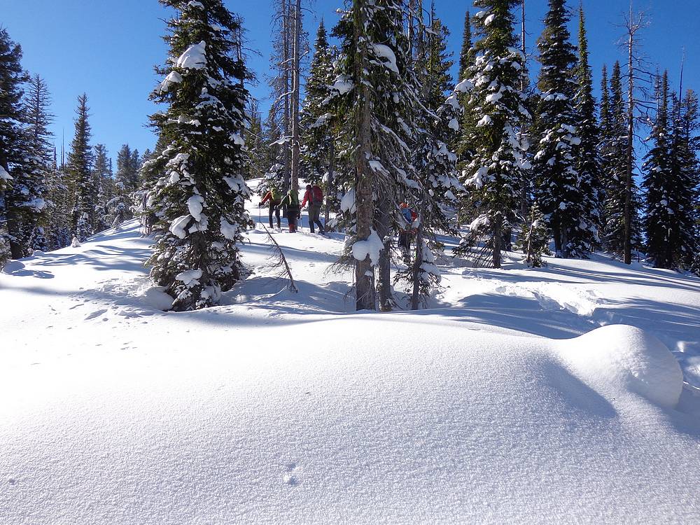
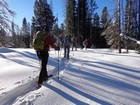
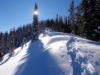
After bouncing around a few idea, we settled on Thatcher Peak for a New Year’s Day snowshoe trip. We also ended up with a large group to help with trail breaking. (Brett, Michael, John F, Tamara, and Splattski.) We arrived at the plowed turnout at Cape Horn, and were on our feet by 9:30am. Even with a temperature of -10’F, Cape Horn Creek was still flowing strong and not yet frozen over. So we hiked along the highway for a quarter mile before heading cross-country after going over the bridge.
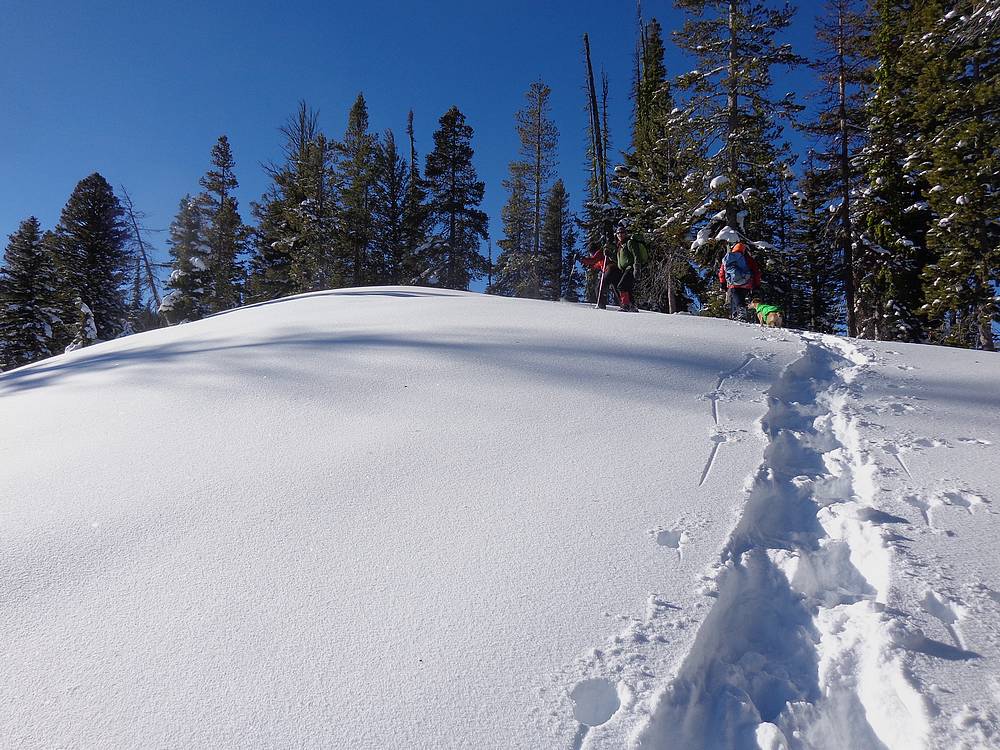
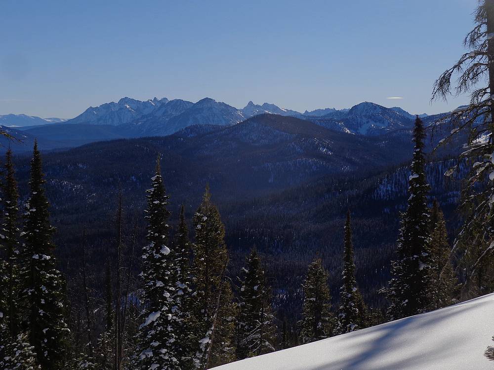
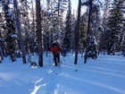
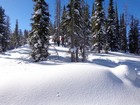
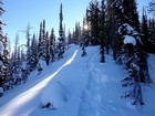
One of the main reasons we chose this peak was the long and gentle north ridge. We made good progress on the way up, gradually gaining elevation as we made our way through the trees. Brett was kind enough to do most of the trail breaking. At about 7800’, we got our first open views looking out across the valley. We could see Cabin Creek Peak in the Salmon River Range, Castle Peak in the White Clouds, and a good view of the jagged northeastern corner of the Sawtooths too.
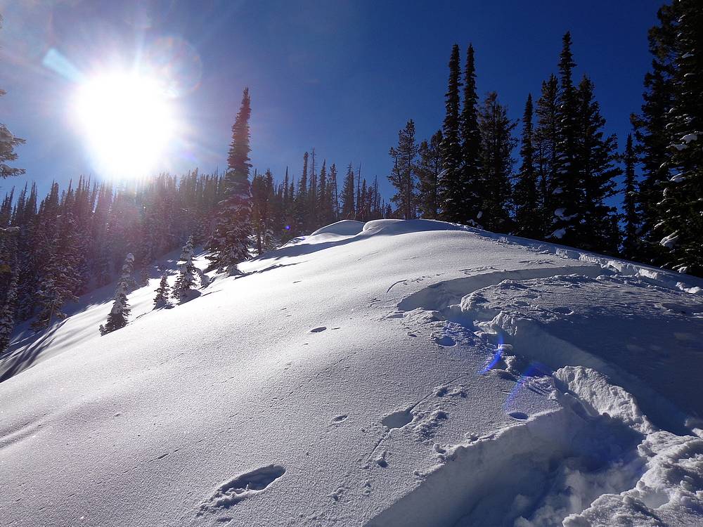
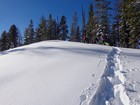
After walking the length of the long summit ridge, we reached the highpoint, took some photos, and then wandered over to the west a little ways for better views and a sunny lunch spot. It was a beautiful blue sky day, and it was great to be out with friends. Once the sun moved behind some trees, we decided it was time to get moving and warm up. The hike back down to the trailhead was quick now that we had a nice packed snowshoe trench in place.
We made it back to the trailhead by just before 3pm. Round trip was just over 6 miles and 1800’ elevation gain in a pretty leisurely 5.5 hours. It had be a great day in the mountains with good friends. I can’t think of a better way to start the new year. Thatcher is highly recommended as a snowshoe peak destination.
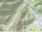
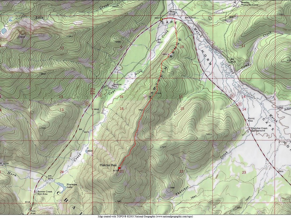
Map of the route, just over 6 miles and 1800' gain round trip. |
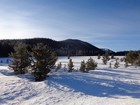
North ridge of Thatcher Peak as seen from Highway 21. |
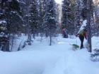
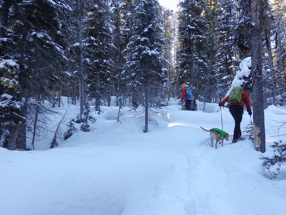
Heading up into the trees. -10'F in the shade. |
First taste of warm sunshine. |
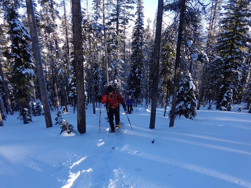
A steeper section in the trees. |
Terrain starting to open up. |
Heading up some open slopes. |
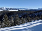
Looking across the valley at Castle Peak in the White Clouds. |

Snowshoe switchbacks. |
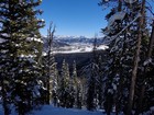
Quick view of Cabin Creek Peak to the northeast. |
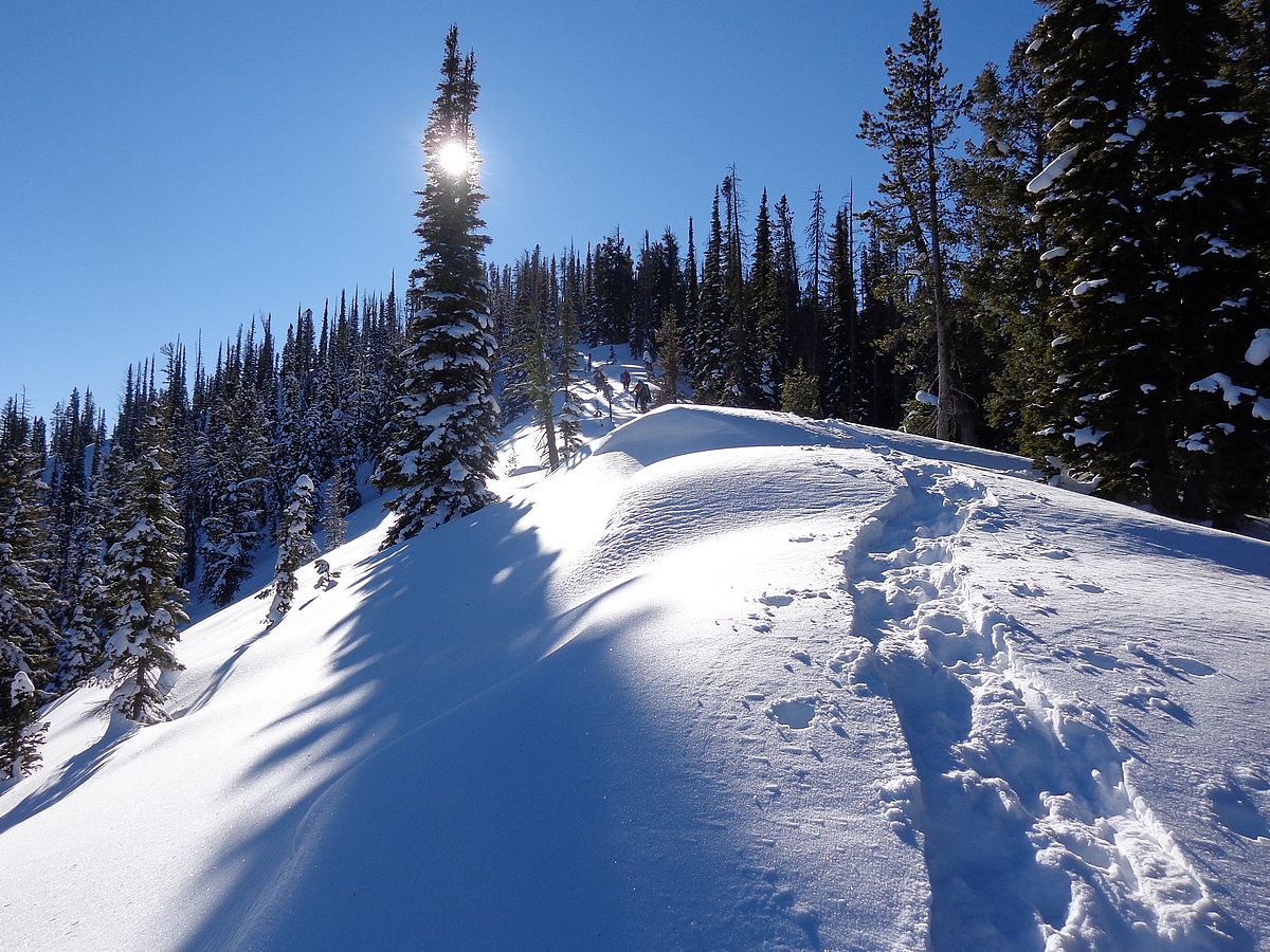
Neat section we climbed just below the summit ridge. |
Sun shining through the trees. |
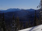
Great view of the Sawtooths. |

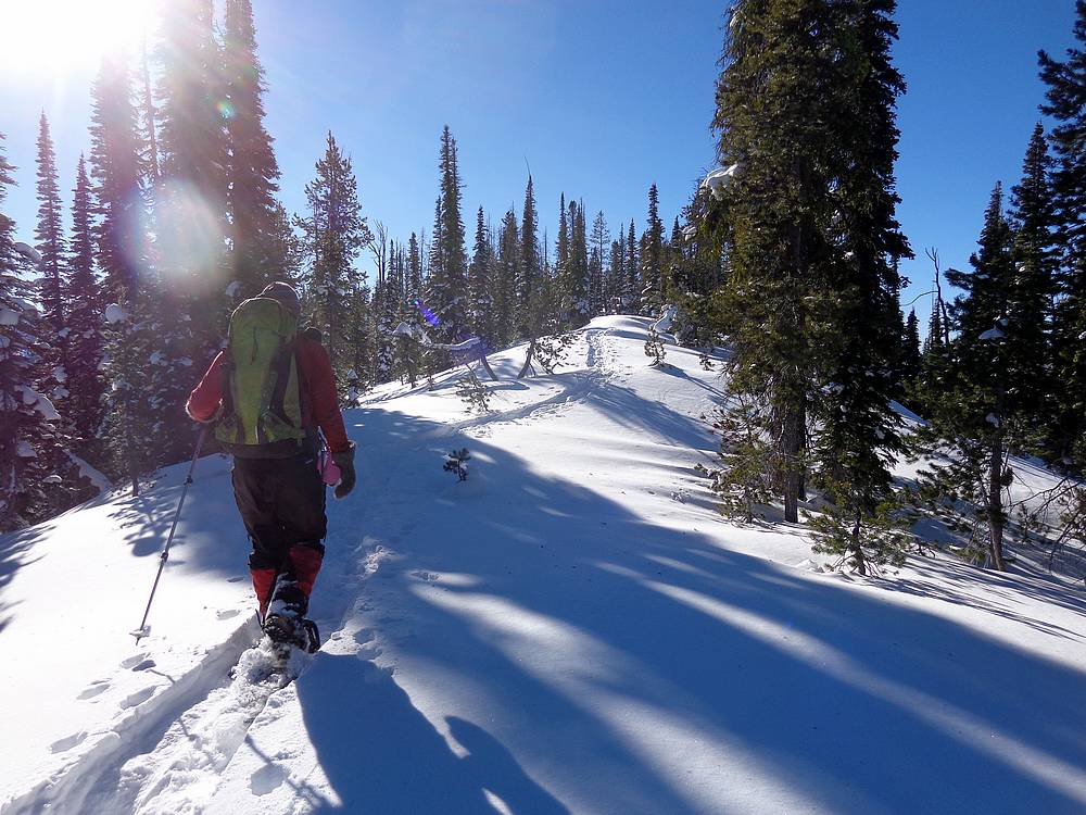
Making our way along the gentle summit ridge on Thatcher Peak. |
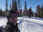
Group shot on the summit of Thatcher Peak. |
|
|
|