|
Flat Benchmark & Bender Peak
A nice loop hike in the Danskins, with winter trying to set in.
The Danskin Mountains are a sub-range of the Boise Mountains, located south of the South Fork Boise River. They are a nice option close to Boise, especially in Spring or Fall when higher elevation areas are not accessible due to snow. The area around Bender Creek and Flat Creek is a popular destination for motorcycles and ATV’s, with an extensive network of trails. After some recent snowfall, I decided to go explore the area, starting my hike from where Flat Creek meets Blacks Creek Road.
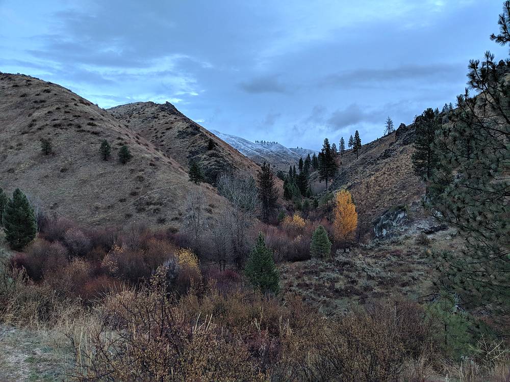
After a short 1 hour drive from Boise, I started hiking at first light at 8am. I parked on a wide spot in the road just uphill from Flat Creek. After hopping over Wood Creek, I was able to follow a game trail along the west side of Flat Creek until I met up with the main bike trail after about a mile. Rain soaked grass and brush quickly had me pretty soaked too, but temperatures were mild so I kept hiking.
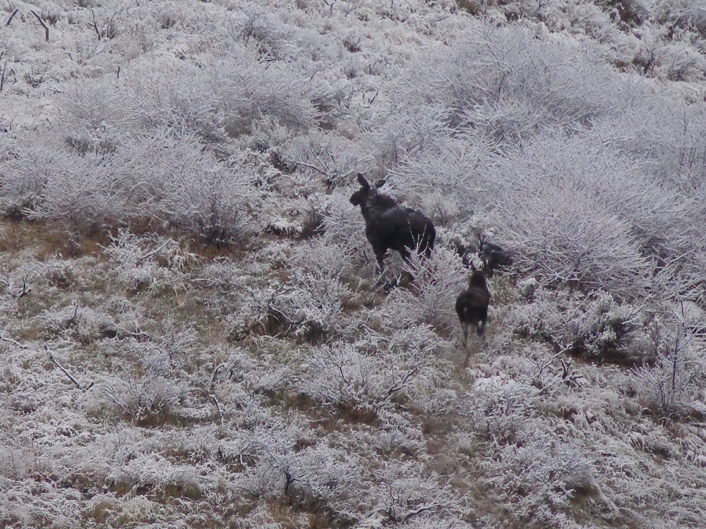
I was able to make good time on single-track trail 301 heading south up Flat Creek, and then double-track trail 300. Soon enough I made it to the start of single-track trail 312 heading up toward the summit of Flat Benchmark. I paused for drink of water at the trail junction, and happened to look back and see two dark animals crossing the trail a couple hundred yards behind me. Soon enough I realized it was two moose, a cow and a yearling. Definitely and neat but unexpected sighting, and I got to watch them climb up and over the ridge to the west.
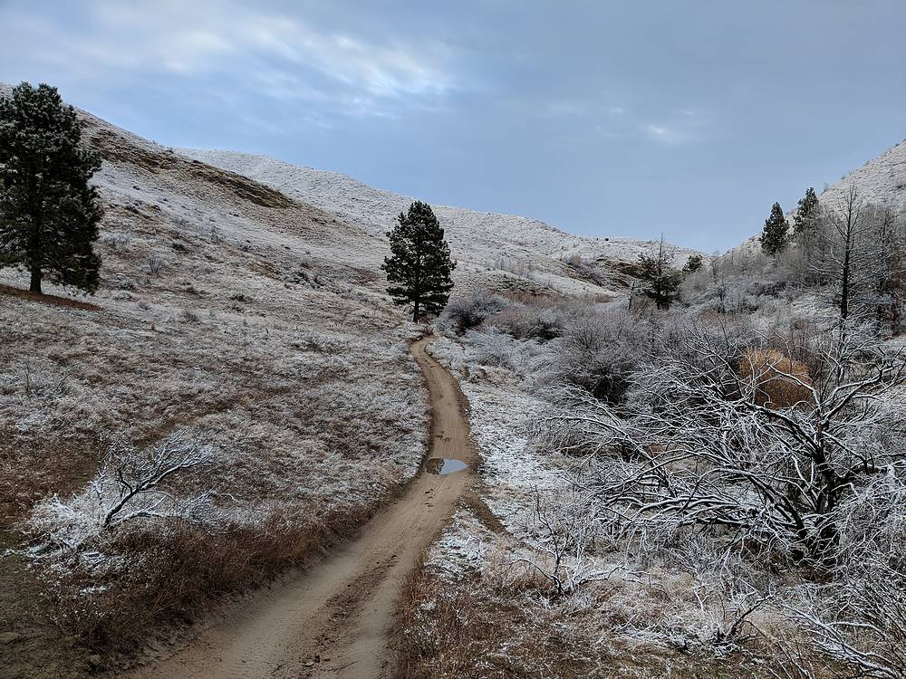
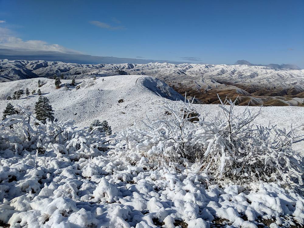
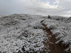
After the moose left, I started up trail 312 toward Flat Benchmark. It wasn’t long before I was in the fresh snow from the prior night, but only 1-2” deep. The snow made for some nice scenery as I made the climb up to the 5040’ summit. I paused there for a moment, and then continued northeast along the trail and descended a short distance before a brief cross-country shortcut to reach single-track trail 310.
Hiking a long trail 310 gave good views of Bender Peak (Peak 4966’) to the north, and I was able to make good time along the gentle undulating ridge. The sun was occasionally shining through the clouds, which created some really cool lighting. Soon enough I made it to Bender Peak, and then continued along the trail for a while before descending cross-country almost directly to the mouth of Flat Creek. Not long after leaving the trail, I saw a group of ~9 motorcycles heading up.
It had been a nice morning hike close to home, and the fresh snow and unsettled skies made for some very nice scenery. Round trip for the leisurely loop was just over 7 miles, 2000’ elevation gain, in just under 4 hours.
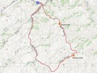
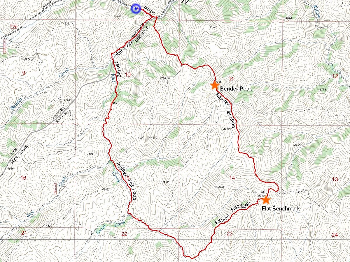
Map of the route, 7.5 miles and 2000' gain round trip. I went counter clockwise. |
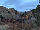
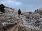
Early view up Flat Creek. |
Single track trail. |
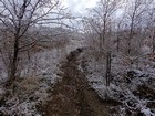
Hiking along Flat Creek. |
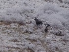
Moose sighting! |
Trail fork to Flat Benchmark. |
Entering the snow. |
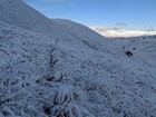
The summit of Flat Benchmark comes into view. |
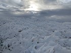
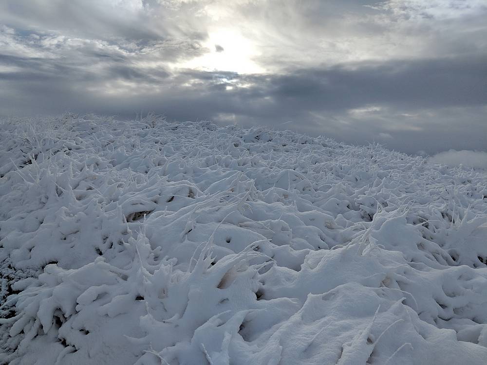
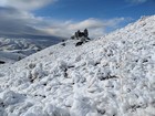
Flat Benchmark summit area. |
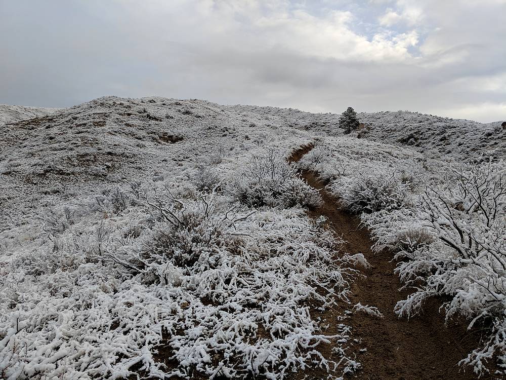
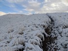
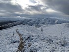
Trail through snowy grass north of Flat Benchmark. |
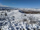
Bender Peak to the north. |
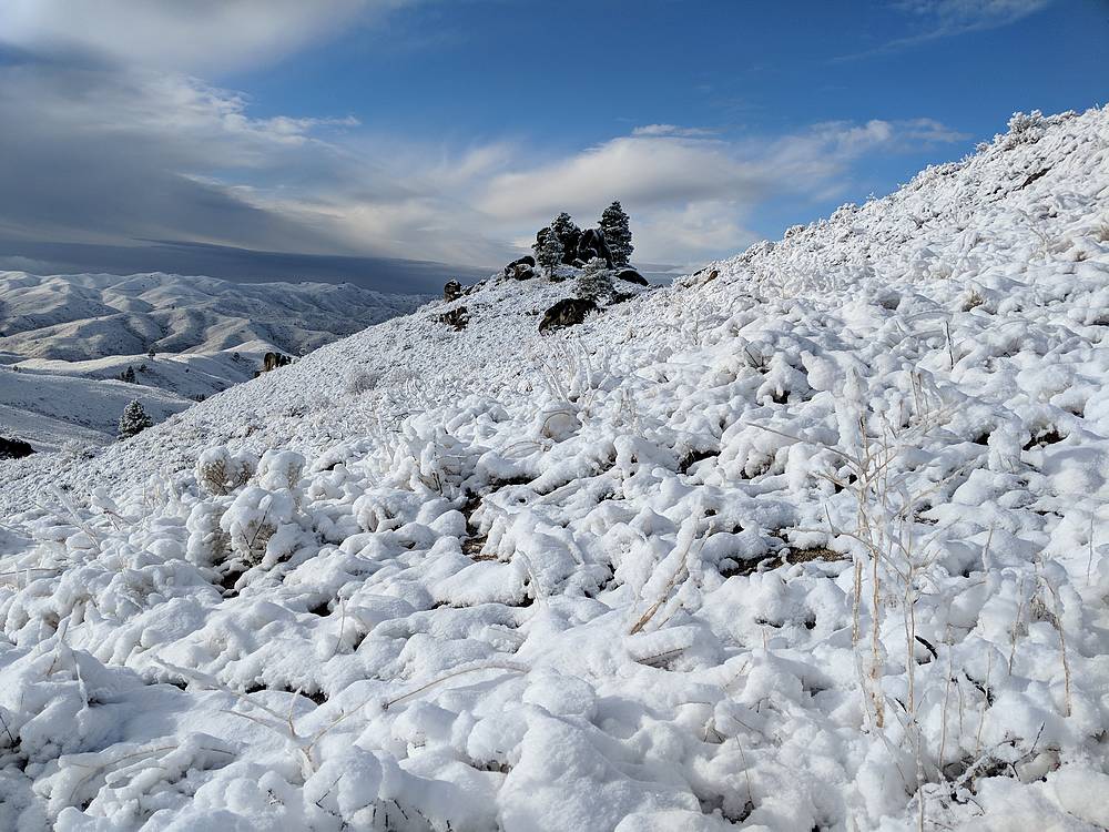
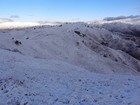
Headed up Bender Peak. |
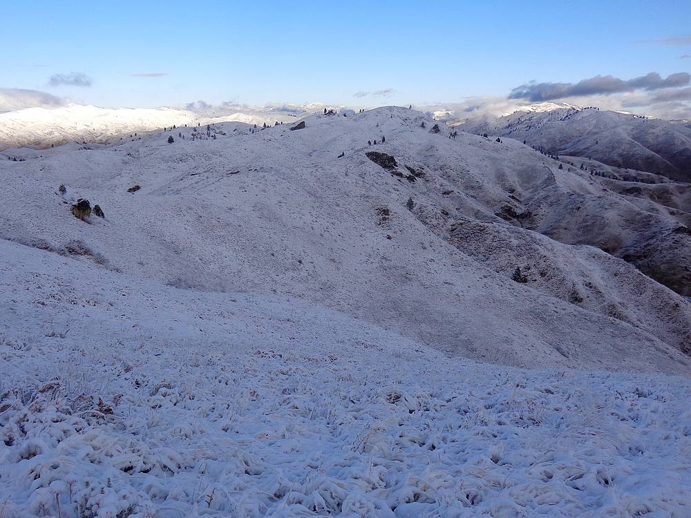
Looking back at Flat Benchmark from just below the summit of Bender Peak. |
Three Point Mountain from Bender Peak. |
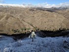
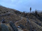
Cross country descent back to the trailhead. |
|
|
|