|
Little Fall Creek Peaks
|
Related Links:
- IdahoSummits Trip Report
- Fadgen's Adventures Trip Report
- Trailhead Location
- My GPS Tracks
- Little Autumn Peak: TL, PB, LOJ, Map
- Little Fall Peak: TL, PB, LOJ, Map
- Big Fall Peak: TL, PB, LOJ, Map
- Mid Fall Peak: TL, LOJ, Map
|
Little Fall Creek is located on the southeast edge of central Idaho’s Boulder Mountains, northeast of Ketchum. The head of Little Fall Creek is surrounded by four 10,000 foot peaks. The peaks can be combined to make a nice loop, with excellent views in all directions.
With a break in the weather after some early season snow, I was looking for mountains to climb with south-facing approaches, and the Snotel sites made the Trail Creek Summit area look like a good option. I left Boise at 5am, and made it to the “trailhead” at 7800’ in about 3 hours.
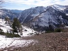
The hike starts out on an old mine road for the first 2.5 miles. Hiking in temps below freezing was a bit of shock to my lungs, and there was some thin snow to deal with, but other than that I made good time to the miner’s cabin at 9200’.
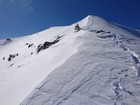
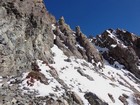
After exploring the cabin a bit, I crossed the creek and started climbing up to the east ridge of “Little Autumn Peak” (10340’). I think that two inches of snow on the ground may have actually made the scree climbing a little easier. The wind picked up once I reached the ridge, and the blowing snow and spindrift made the conditions seem pretty winter-like.
The summit of Little Autumn was a nice vantage point to scope out the rest of the route. I had a snack there, and then headed north toward the next objective, “Little Fall Peak” (10356’). The snow was a little deeper on the north facing ridge, but not bad since I was headed downhill. The climb up Little Fall was no problem, and I stopped for a lunch break on the summit. The views were just fantastic as I enjoyed my PB&J while sitting in the sunshine. There were rugged snow covered mountains all around me, and all I could think was how blessed I was to see such sights.
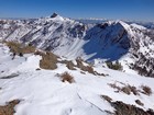
From Little Fall, I plunge-stepped down the east ridge until I reached the saddle below “Big Fall Peak” (10350’). I could see a nice game trail crossing the south face, but opted to scramble up the southwest ridge instead. There were a few awkward moves on snowy rock, but soon enough I was standing on the summit. From here, I had an in your face view of the impressive Mystery Peak to the north. I could also see Mount Borah and the full Lost River Range crest in the distance. The sky was perfectly clear, and the views always seem better when the air is cold.
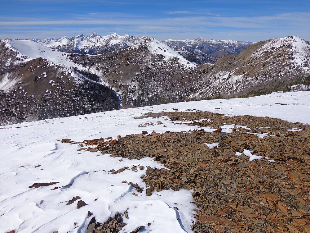
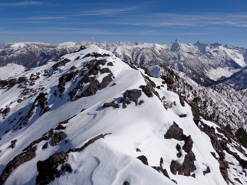
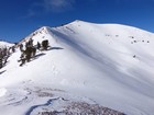
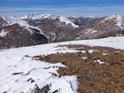
The fourth and final objective for the day was “Mid Fall Peak” (10300’). I made a quick descent from Big Fall to the saddle, then a slower climb through occasional knee-deep snow up to Point 10271’. From here, I had a good view of a long rocky ridgeline leading to Mid Fall. I took it slow and careful, with a couple tricky moves crossing partially snow-covered boulders on the ridge. This made for a spicy finish, and a nice feeling of accomplishment once I reached the summit. Views of the Lost River Range, and Devils Bedstead in the Pioneers were impressive.
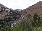
I originally planned to continue down the ridge toward the trailhead, but that route looked like slow going, so I opted for a more direct descent down the southwest face instead. The rock was loose for the most part, and made for pretty good plunge stepping. Fortunately, I didn’t get cliffed out and was able to reach the valley floor without issue. I followed an old mine road on the north side of the creek, which stopped on top of a bluff not far from the trailhead. After a steep descent, I was back to the truck.
Round trip was about 8 miles, 3700’ elevation gain, 4 summits, in about 8 hours. It had been a great day in in the mountains. Weather was perfect, snow conditions weren’t bad, and the scenery was excellent. Good times.
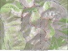
Map of the route, 8 miles and 3700' gain round trip. I went clockwise. |
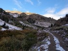
Hiking up the old mine road. |
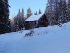
Miner's Cabin. |
Nearing Little Autumn Peak. |

View north from the summit of Little Autumn Peak. |
My tracks down the north ridge of Little Autumn Peak. |
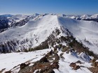
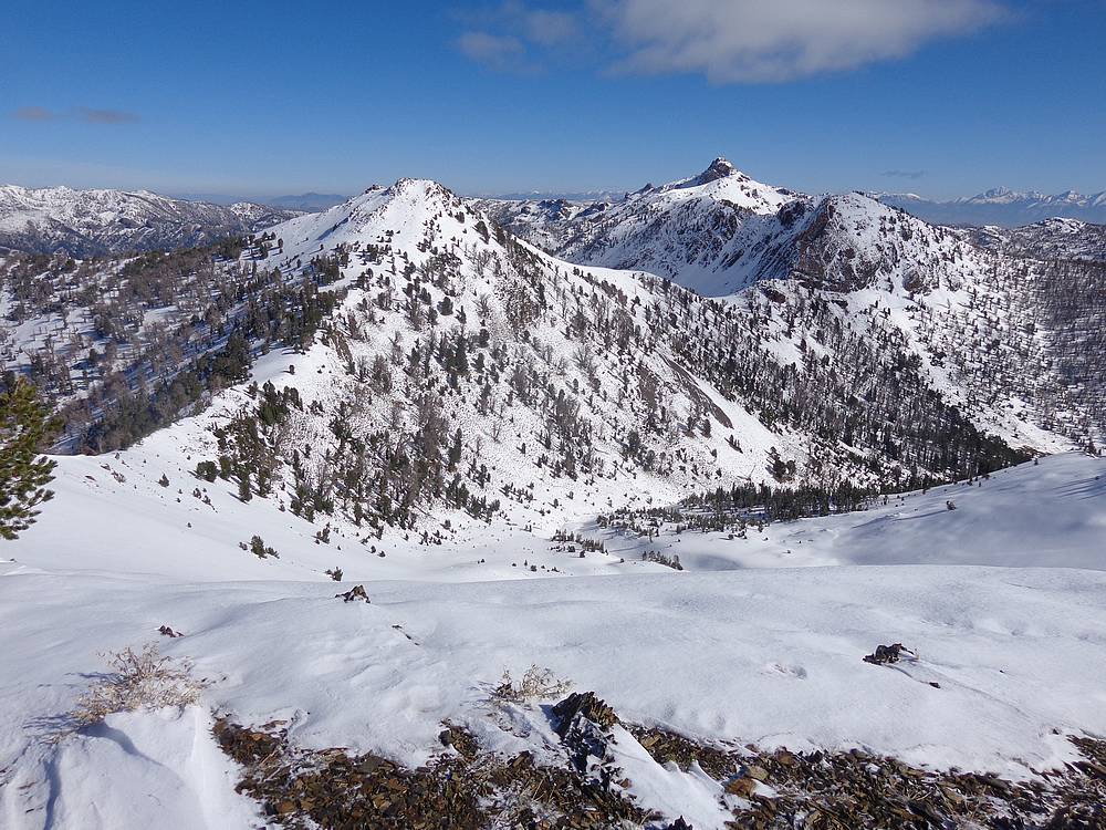
Little Autumn Peak from Little Fall Peak. |
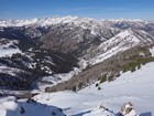
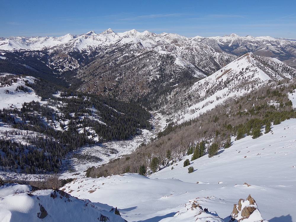
View northwest into the Boulder Mountains from Little Fall Peak. |
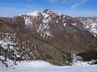
Mystery Peak and Big Fall Peak from Little Fall Peak. |

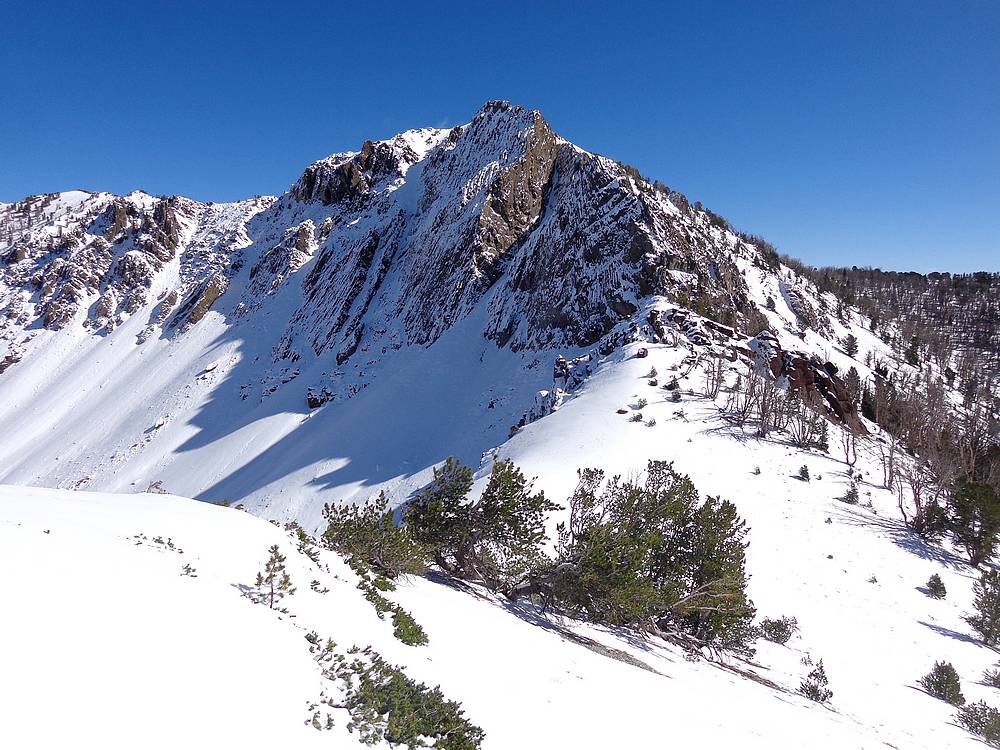
Steep north face of Big Fall Peak. |
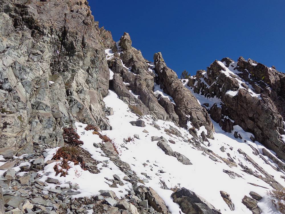
Scramble section on southwest ridge of Big Fall Peak. |

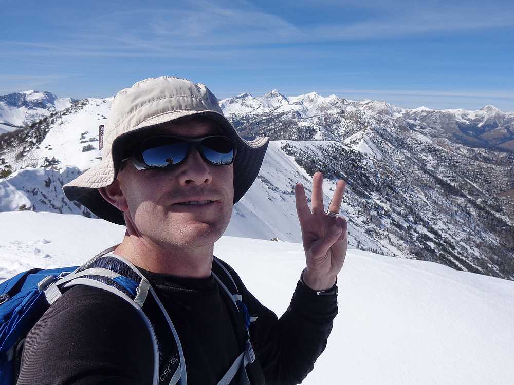
Big Fall Peak summit shot, my third peak of the day. |

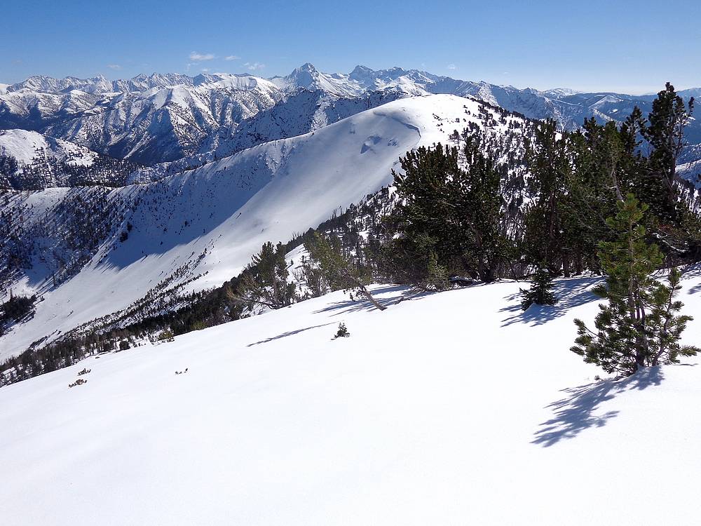
Heading toward Mid Fall Peak, with Devil's Bedstead in the distance. |
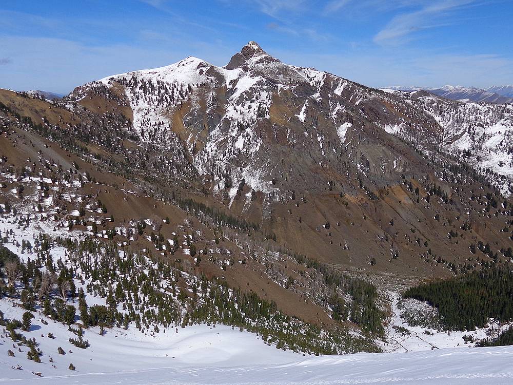
Impressive looking Mystery Peak above Big Fall Creek. |
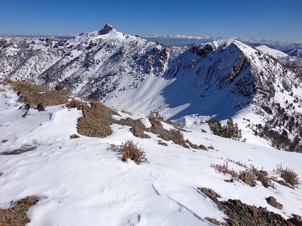
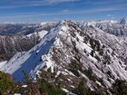
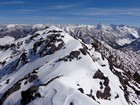
View back on the first three peaks of the day. |
Spicy ridge leading to Mid Fall Peak. |
Mid Fall Peak summit, Pioneer Mountains in the background. |

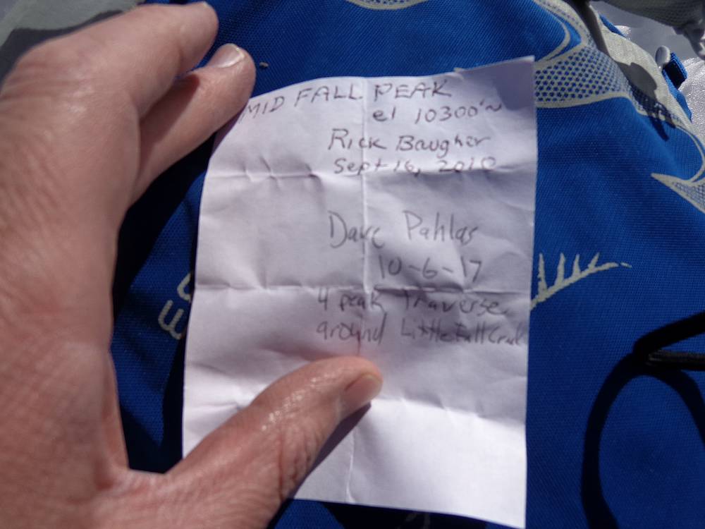
Only register not totally buried in snow today. |
Scree skiing descent route from Mid Fall Peak. |
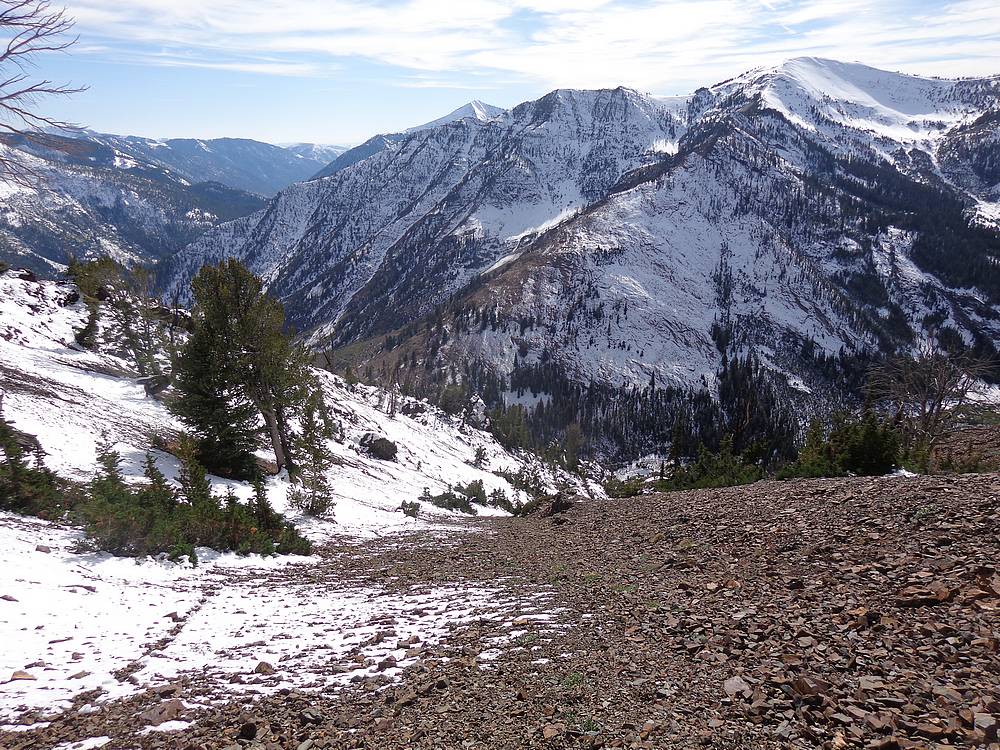
One final view looking back on Little Fall Creek. |
|
|
|