|
Gabriels Horn
Elevation 11,641'
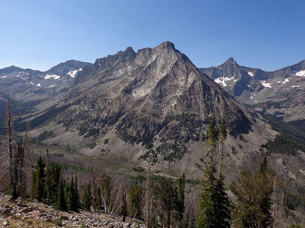
Gabriels Horn is located in central Idaho’s Pioneer Mountains. This 11er is the midpoint of the ridge that separates Wildhorse Canyon and Fall Creek. This is a rugged and highly scenic area that doesn’t see many visitors. Gabriel’s Horn doesn’t involve a long hike, but the exciting summit ridge requires route-finding that can make for a long day.
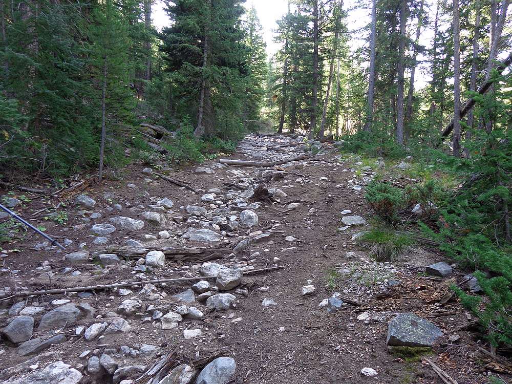
Drive time from Boise was 4 hours, including 3.5 miles of rough 4WD road to reach the 8000’ trailhead at the end of the road in Wildhorse Canyon. After less than a mile of hiking up the old mine road, Michael and I headed off trail at around 8200’, where an old avalanche path created an obvious opening in the trees.
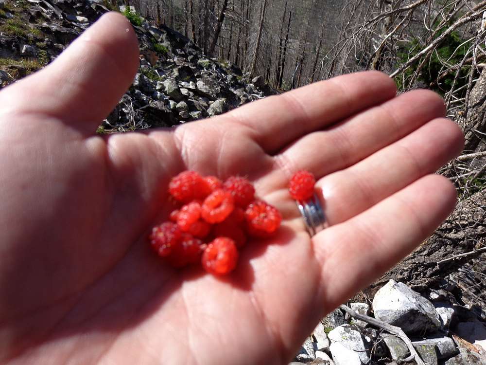
We followed the avalanche gully for a while, then angled to the south for easier travel. The terrain got increasingly steeper and rockier as we climbed. Fortunately there was an abundance of wild raspberries along the way to give us excuses to stop for breathers and snacking.
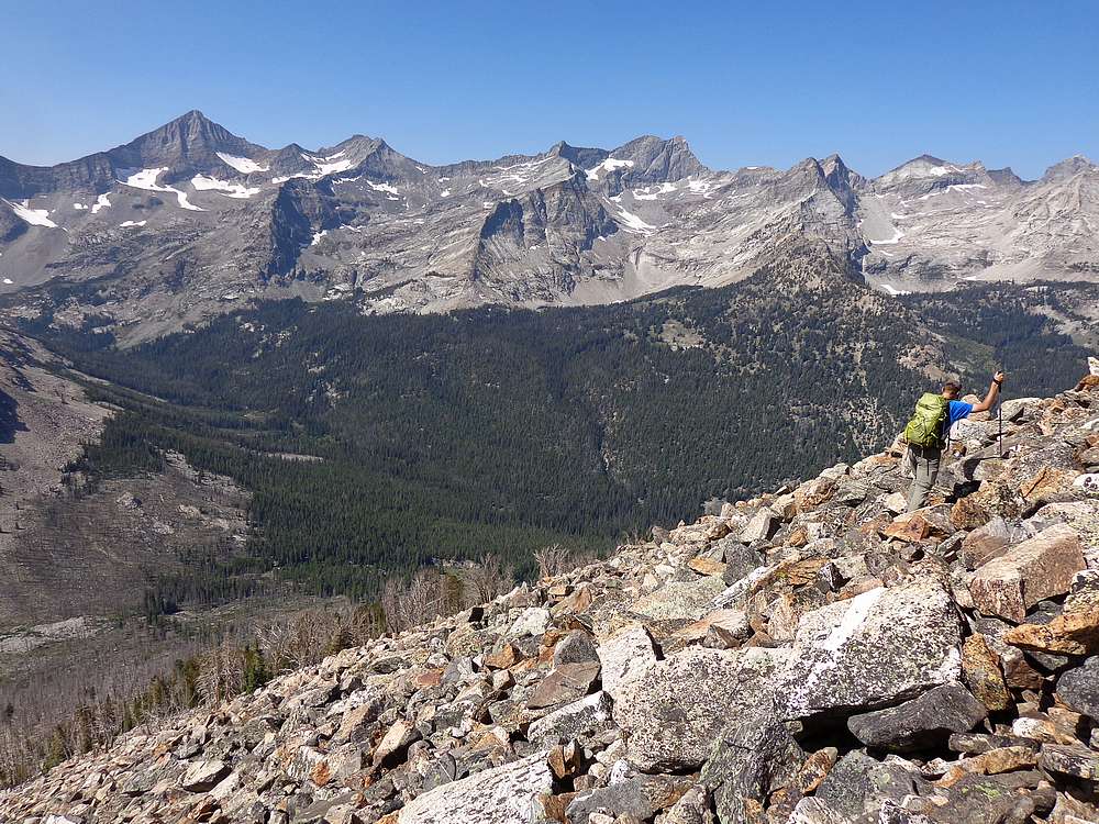
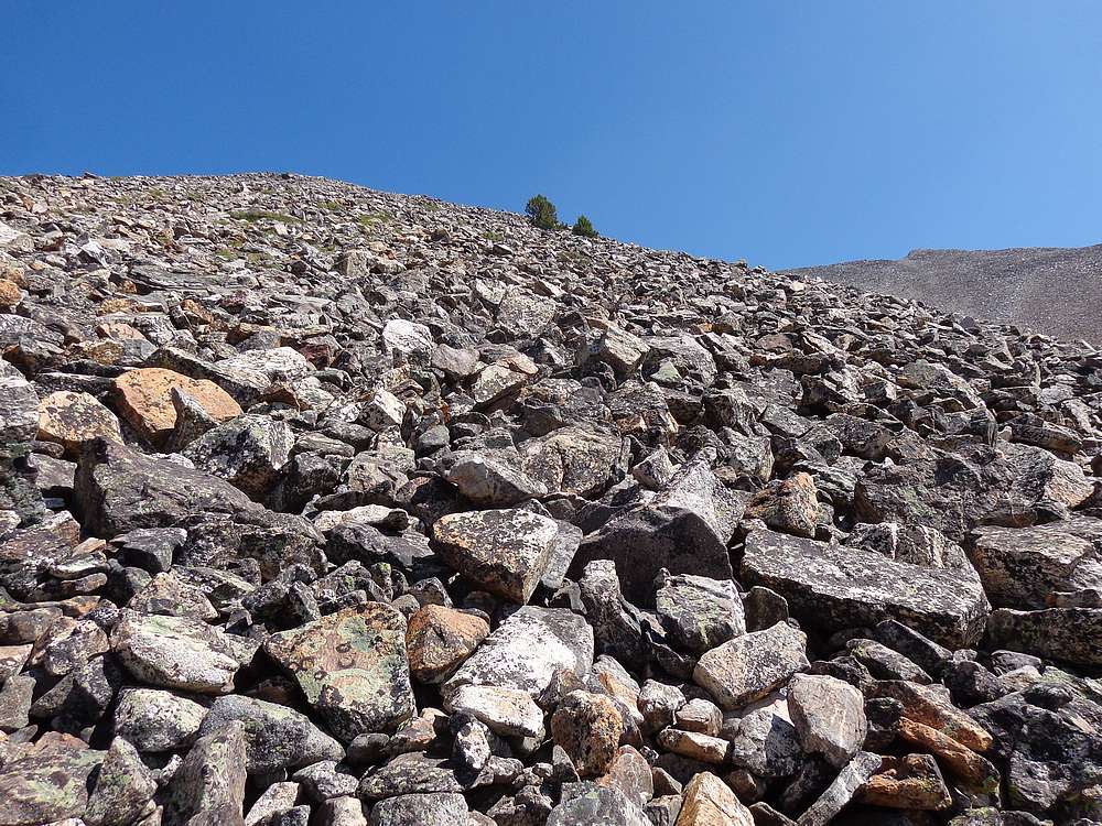
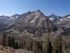
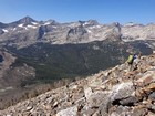
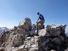
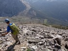
Teeline was at about 10,000’, and we made our way carefully up a huge and steep boulder field before gaining the southwest ridge at about 11,000’. From here we had a good view of the summit ridge itself, which looked pretty challenging. Once at the top of the southwest ridge, we left some heavier items at a saddle, and began scrambling north.
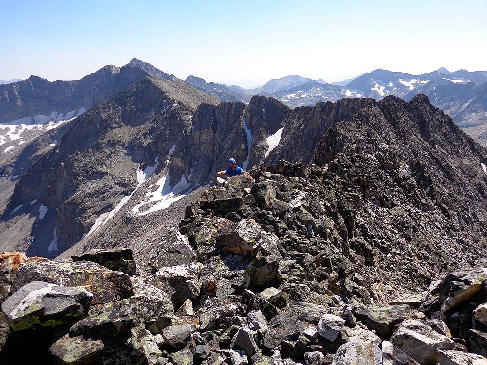
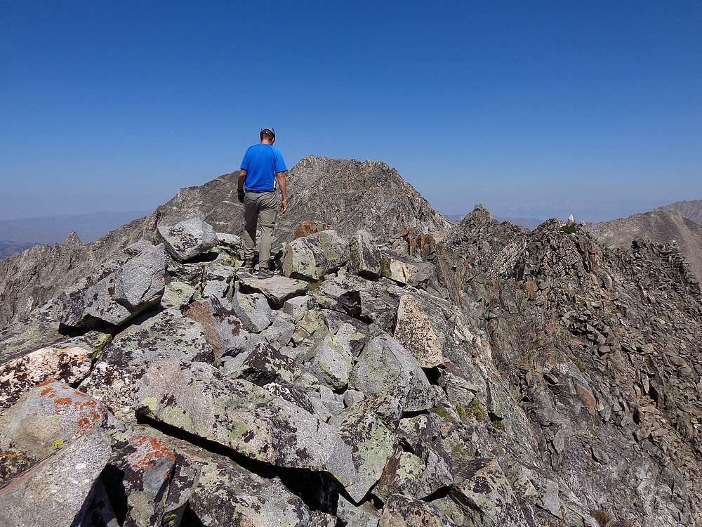
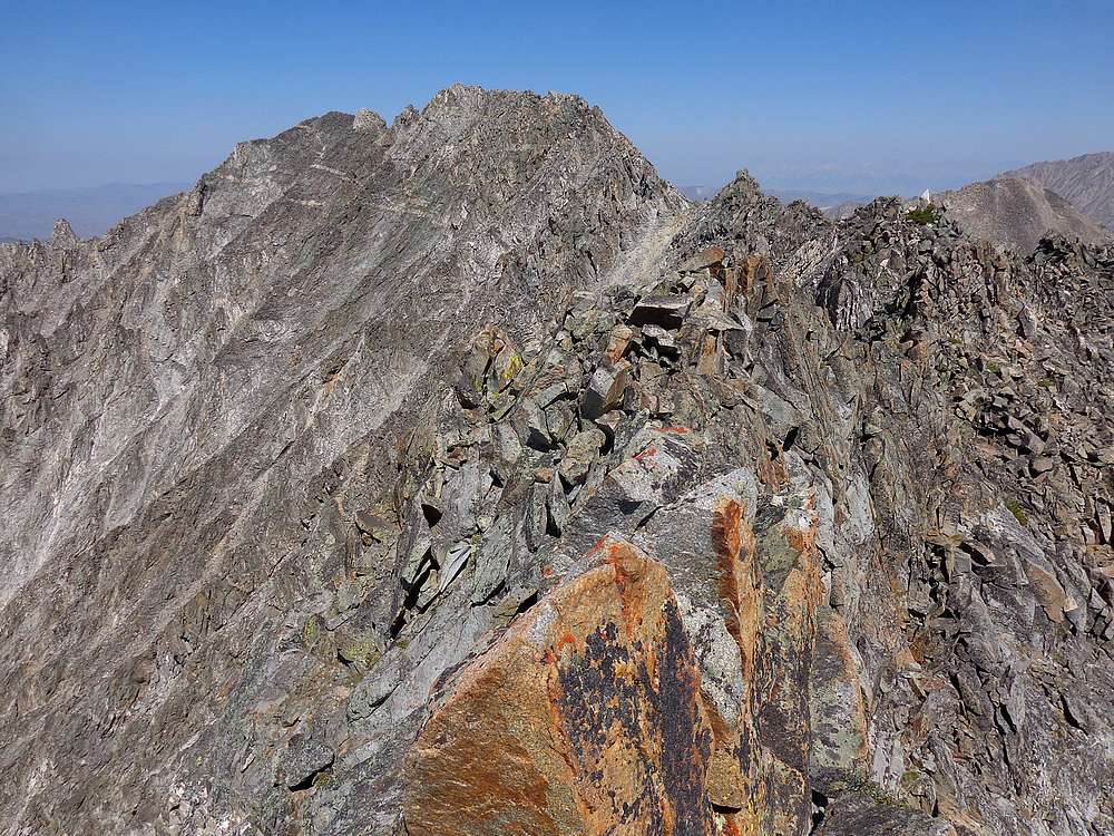
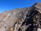
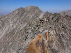
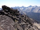
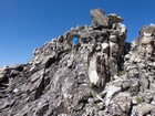
The south ridge of Gabriel’s Horn is a great class 3 scramble with big exposure in a few places. We just took our time, starting on top of the ridge, dropping to the east, back to the west, on the crest again, and then finishing the traverse on the west side of the ridge.
The ridge scramble was a lot of fun. Definitely some loose rock, but stable at critical times. It took us just over an hour to traverse the ridgeline, but it didn’t seem that long since we were so focused on the task at hand. Then after a snack and enjoying the fantastic views, it was time to retrace out path back to the saddle, which took another hour.
After the fun scramble, we weren’t looking forward to the steep and bouldery down-climb. But we just took our time. Instead of the rockier south side of the gully, we decided to descend the north side where there was a bit more dirt and easier progress. Needless to say it was a relief when we finally made it back down to the old mine road.
All in all it had been an excellent day. Great scenery and an excellent ridgeline scramble more than made up for a tedious descent. Round trip was about 5.5 miles, 4000’ elevation gain in just under 8 hours. A burrito stop at KB’s during the drive home was the icing on the cake. Great peak suggestion Michael!
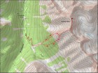
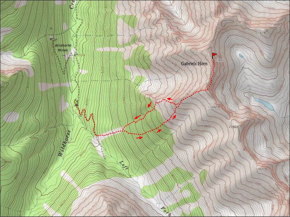
Map of our route, 5.5 miles and 4000' gain round trip. |
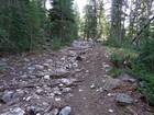
Old mine road at start of hike. |
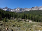
Great views from Wildhorse Canyon. |
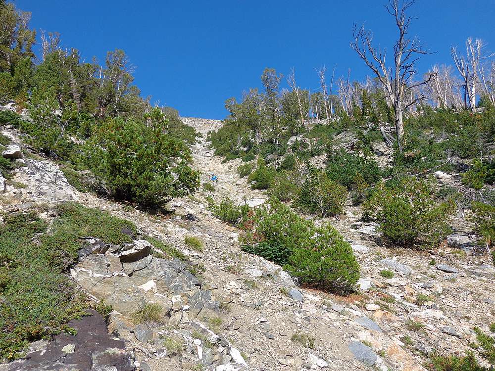
We left the trail here at this clearing. |
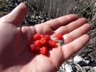
Raspberries to snack on during the climb up. |
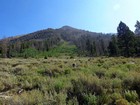
Howard (Mustang) Peak. |
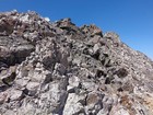
Boulder field climbing, main Pioneer crest in the background. |
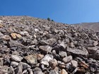
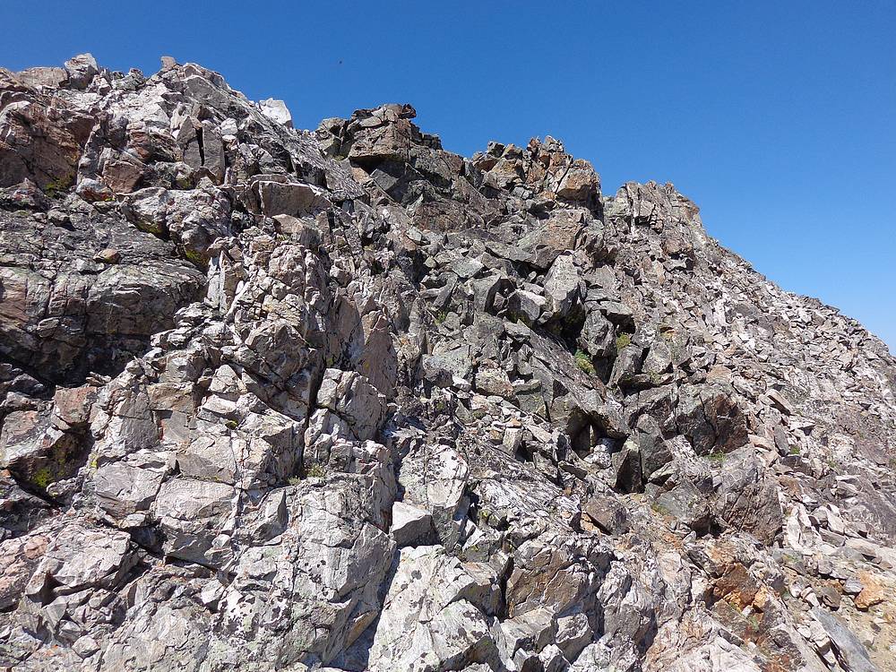
If you like boulders, you love this section. |
First view of the ridge, summit on far left. |
Start of the ridge walk. |
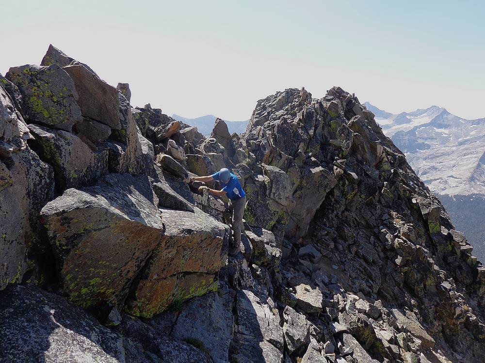
Which way from here? |
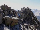
Scrambling along the ridge. |
Lots of fun rock. |
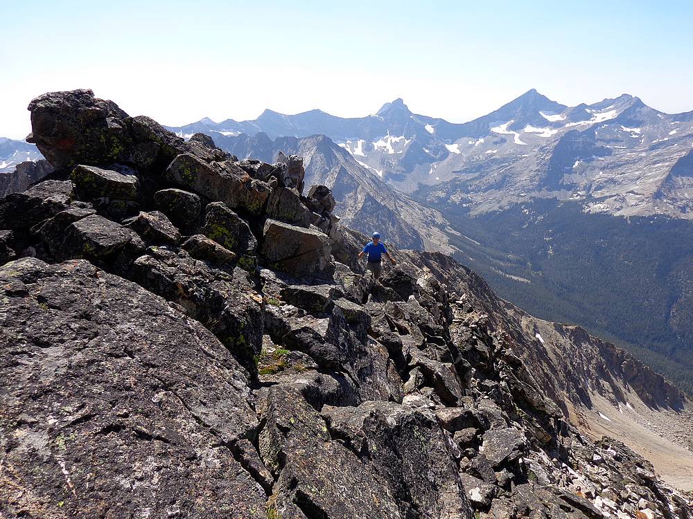
Continuing along the south ridge of Gabriels Horn. |
Not much farther now. |
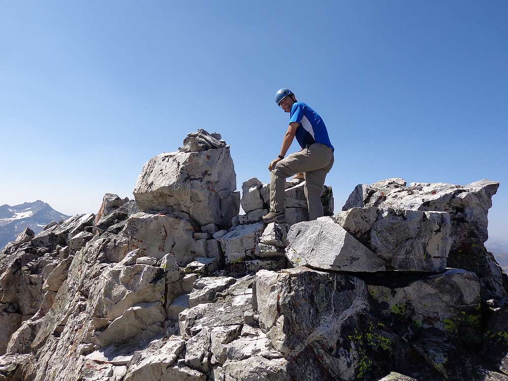
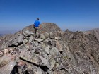
Michael on the summit of Gabriels Horn. |
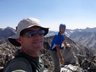
Gabriels Horn summit victory shot. |
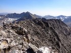
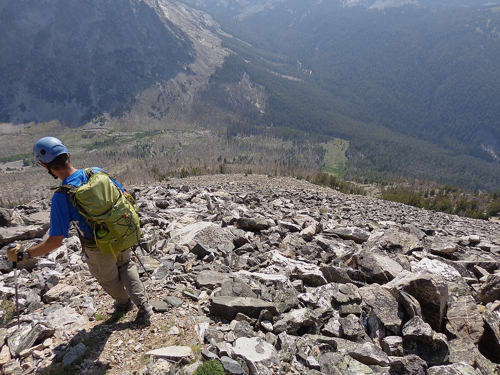
Looking back at the south ridge from the summit. |
A long way to descend to the end of that avalanche path. |

Descending the gully. |
|
|
|