|
Beaver Creek Peaks
Central Idaho’s White Cloud Mountains offer up some amazing beauty and parts of the range are becoming very popular. But the northern fringe of the range, near the Salmon River, is largely unvisited. Access is a challenge, and the mountains themselves aren’t as spectacular as the rest of the range, but the terrain is interesting and scenic. I was making a visit to the area because I had just a handful of peaks left to summit in order for me to complete the White Cloud Wilderness Peak List.
After much time scanning maps and looking for creative ways to link up peaks, I finally decided to just go for it and see what would happen. The biggest unknown was the condition of a possible road/trail on Beaver Creek. The further I could drive up the drainage, the better my chances of tagging up to three summits.
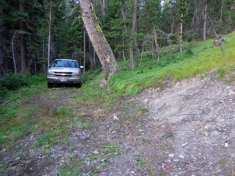
I left Boise at about 7pm, late enough to avoid traffic, and just early enough to get to the trailhead in time for some shuteye. It took about 3.5 hours to reach the mouth of Beaver Creek at the Salmon River. Now it was time for what would be the crux of the trip, driving Beaver Creek “road”. The road was very rugged, rocky, and overgrown. But fortunately just good enough to allow me to drive almost 3 miles to 7200’, where the old road ended abruptly. I parked here at 11pm, and rolled out the sleeping bag in the back of my Chevy Tahoe and hit the hay. The drive had been an adventure, but I was now in good position to tackle three remote peaks. (Footnote, after seeing all the scratched paint when I got home, my wife told me it was okay if I go bushwhacking on foot, but don’t ever take her SUV bushwhacking like that again.)
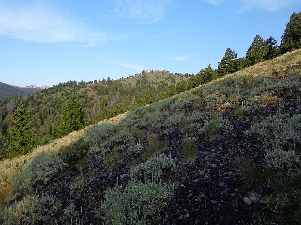
After a good night of sleep, I started hiking at 7am. The hillside looked passable right from the road, so I headed directly uphill. It only took an hour to reach my first objective, “Beaver Creek Peak” (Peak 8829’). It was a little smoky to the north, but otherwise not bad. On the summit, I found some old wooden surveyor stakes and wire, which was a little surprising to me.
From Beaver Creek Peak, I had a good view of the rest of my planned route. It looked like my plan would work, but I would have a lot of cross-country miles to cover. I descended to the southwest, to a saddle at the headwaters of Beaver Creek, and then climbed uphill for a bit before side-hilling above the headwaters of Treon Creed heading west. I was shocked to see a couple very old cut logs in this area, evidence of an ancient trail. This section was the most tedious part of the day due to brush and downed trees on the north facing slope, so I was relieved when I finally made it to ridge that would take me to my second highpoint, “Treon Peak” (Peak 8555’).
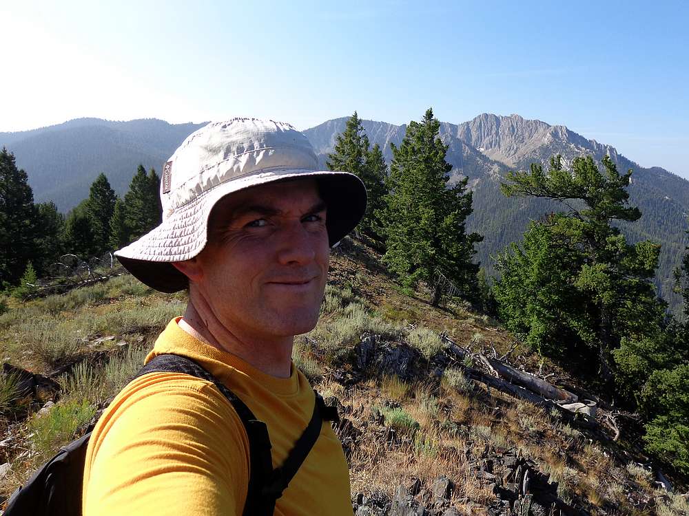
There was a nice game trail along the ridge most of the way to Treon Peak, which allowed for quick going. Once on the summit, I took a break to have a snack and take photos. It was a great spot to look down into the Warm Springs Creek drainage.
I retraced the game trail back along the ridge, and then followed it uphill to Point 8535’ and onward. When I crested the ridge at about 9200’, the day’s final objective came into view, “Last Chance Peak” (Peak 9820’). The connecting ridge had been the only remaining mystery, but from here I could see it should be no problem.
With the final peak in view, I stopped for an extended PB&J lunch break. Judging by the amount of bear scat I’d seen nearby, I wasn’t the only one who liked partaking meals in these parts. It was a beautiful afternoon, and I enjoyed soaking in the scenery for a while.
After lunch, I continued along the ridge. There was a somewhat steep section leading to Point 9726’, but otherwise smooth sailing to the summit of Last Chance Peak, which forms the head of the Last Chance Creek drainage. With almost no beta about the area or the route, I felt very satisfied to be standing on this remote summit. Ironically, I had cell service and took to opportunity to text my wife and let her know all was well.
It was 1pm and I was ahead of schedule, but I still had some uncharted ground to cover. I retraced my path along the ridge back to my lunch spot, and then hung a right and went northeast along the ridge south of Beaver Creek. I ended up following the ridge for quite a while on a well-used game trail, before heading directly downhill when I was due south of the trailhead. There was surprisingly little brush on the way down the hillside until getting to the thicket at Beaver Creek. Fortunately, I only had had a quarter mile of heavy bushwhacking before arriving at my vehicle.
It had been a great adventure into the unknown in a remote area. Definitely a great day, and I was excited to reach three summits, leaving just one more in order to complete the White Cloud Wilderness Peak List. Round trip was just over 12 miles, 1800’ gain, in 9+ hours. The ride back down the “road” was also an adventure, and I celebrated my success (3 peaks and a gnarly road) with a bacon cheeseburger in Stanley.
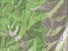
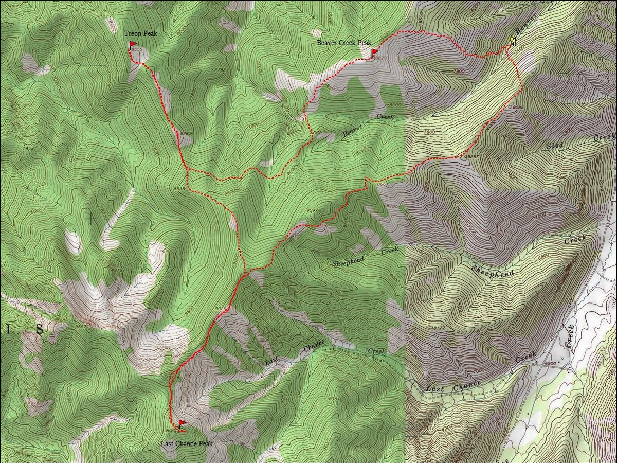
Map of my route, just over 12 miles and 4800' gain round trip. |
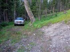
End of the road, start of the hike. |
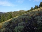
First view of Beaver Creek Peak. |
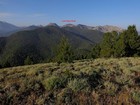
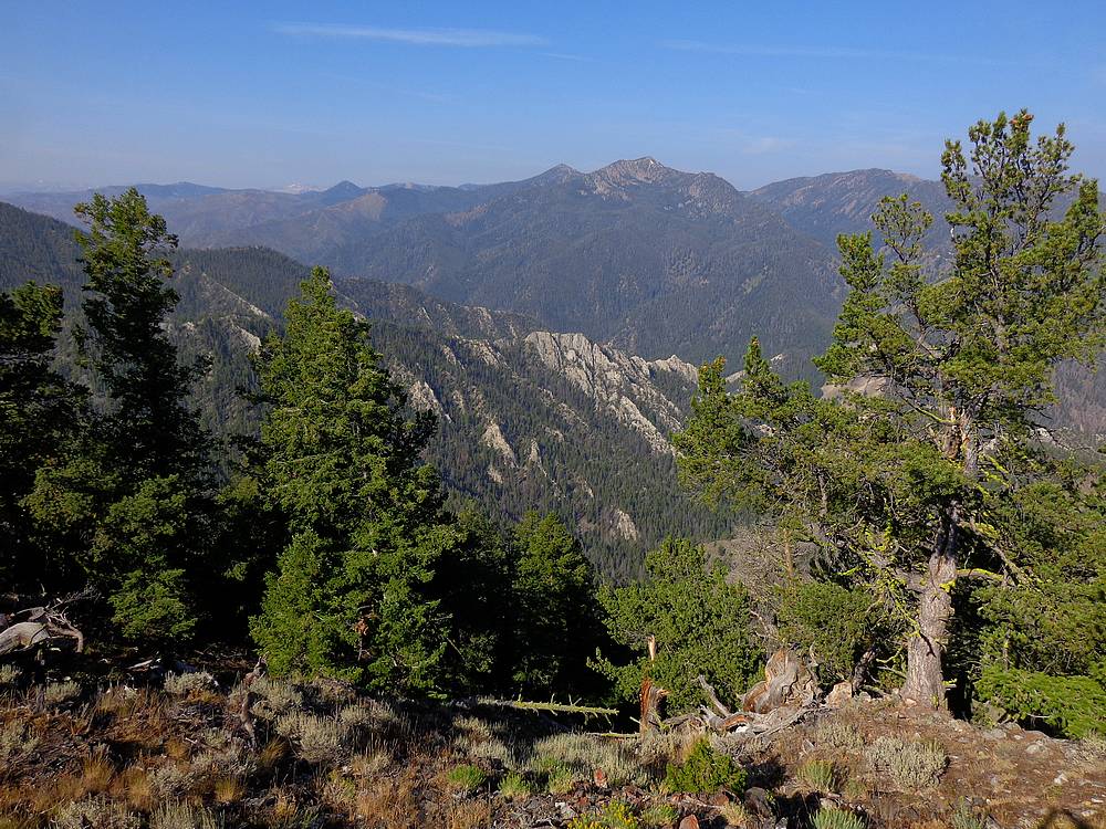
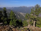
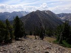
Summit view south from Beaver Creek Peak. A long way to Last Chance. |
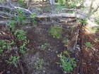
Old cut log, evidence of ancient trail near headwaters of Treon Creek. |
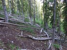
Steeplechase along the hillside above headwaters of Treon Creek. |
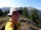
Me on the summit of Treon Peak, looking south. |
Treon Peak summit view west of Warm Springs Creek, Robinson Bar Peak, and Lookout Mountain. |
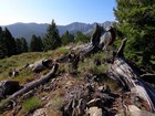
Gnarly old burned wood on Treon Peak. |
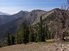
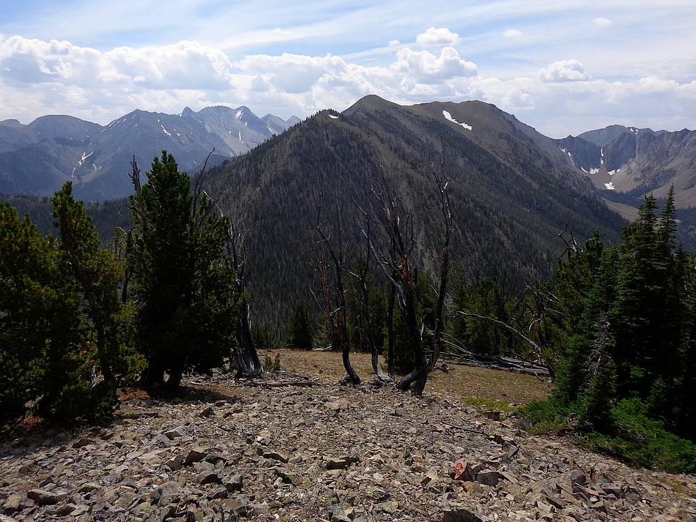
First unobstructed view of Last Chance Peak, WCP-1 and 11ers to the left. |
Fun easy ridge walk. |
Last Chance Peak summit view south. WCP-1 and 11ers in the distance. |
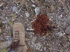
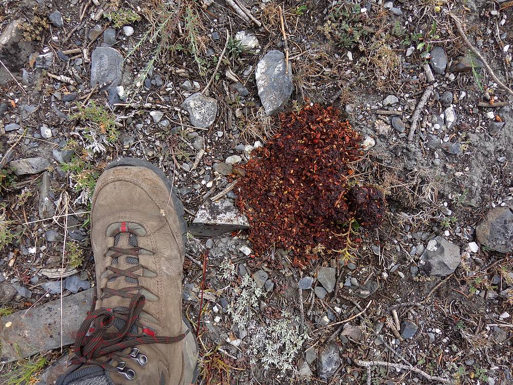
Turns out bears are omnivores. |

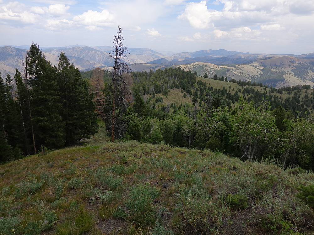
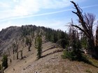
Easy going ridge terrain during descent, and some smoky skies to the north. |
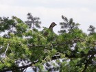
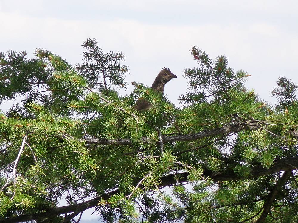
Close up of a grouse that tried to startle me. |
|
|
|