|
Mount McCausland
Elevation 5747'
Mount McCausland is located in the Henry M. Jackson Wilderness of northcentral Washington, near Stevens Pass. The Smithbrook trailhead is just over two hours from Seattle, and a trail leads all the way to the summit, so McCausland does see its fair share of visitors in both summer and winter.
After an afternoon climb of Union and Jove Peaks the prior day, I made the short drive back down to the Smithbrook Trailhead, and was hiking by just after 7am. The trail is well used and easy to follow, and it doesn’t waste any time getting up the hill. I was warmed up in a hurry, and it was a welcome sight when I reached Union Gap and then took a left on the Pacific Crest Trail which was much less steep.
I cruised to the saddle above Lake Valhalla, and then took a right up the well-used climbers trail heading up the southeast ridge of McCausland. Soon after that I came across a tent right on the edge of the trail. It was occupied by a young couple making the most of their wilderness experience. There was no way around the awkward situation, so I just said Good Morning and hurried past. (They had packed up and left before I returned an hour later.)
The trail up McCausland was pretty steep and I paused often to check out the views of the impressive looking Lichtenberg Mountain and Lake Valhalla. Soon enough I made it to the summit ridge, and a fun stretch of trail that made its way back to the highpoint to the north. It took me just under 90 minutes to reach the summit.
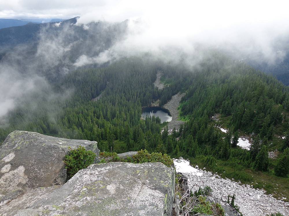
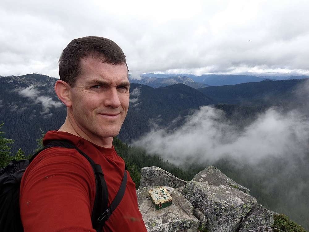
The summit is known for having great views of Glacier Peak, but today was too cloudy to see that far. But it was still a pretty morning, and I dug around in the register box reading about some history and enjoying the views. After a while the mosquitos got annoying, so I headed back down.
The return trip back down was quick. After seeing almost nobody on the way up, I passed at least 50 hikers on the way down. Round trip was about 6.5 miles and 1800’ elevation gain in just under three hours. It was a nice morning to be out hiking.
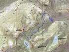
Map of my route, just under 7 miles and 3300' gain round trip. |
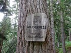
Entering the wilderness area. |
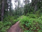
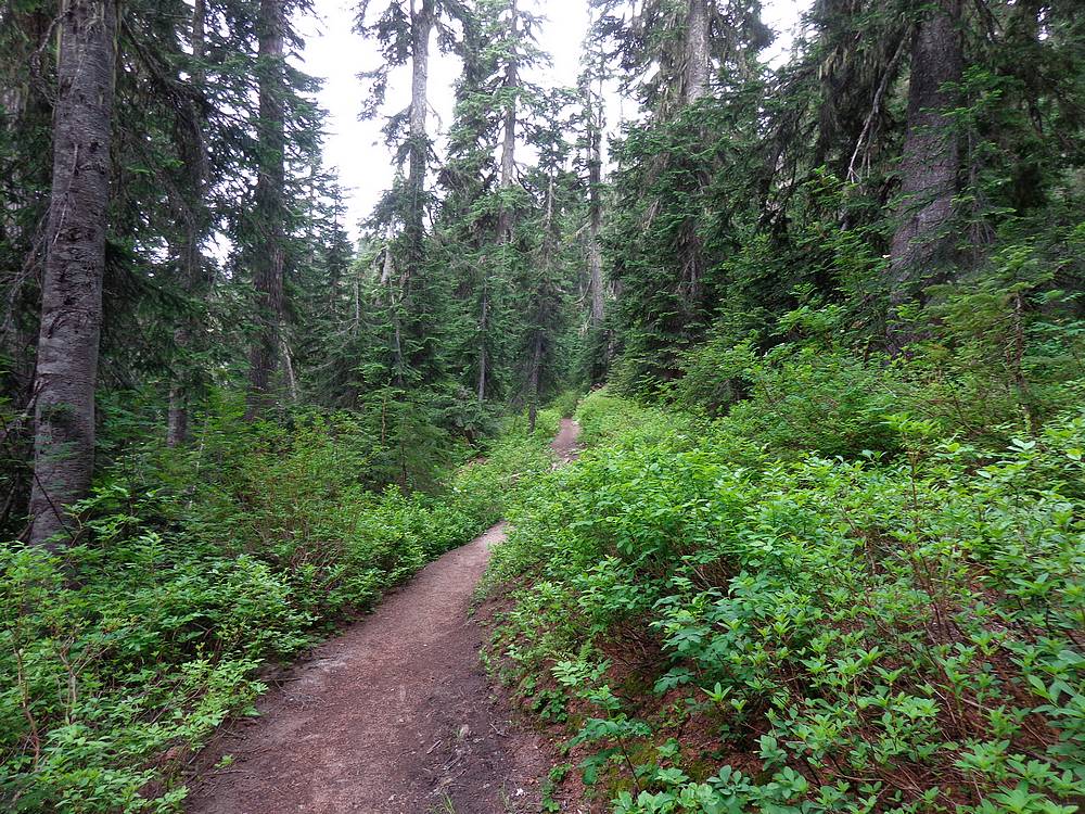
Typical trail conditions. |
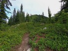
Mount McCausland comes into view. |

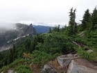
Looking back on Lichtenberg Mountain and Lake Valhalla. |
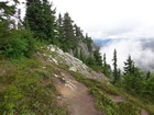
Fun section of trail along the summit ridge. |
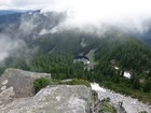
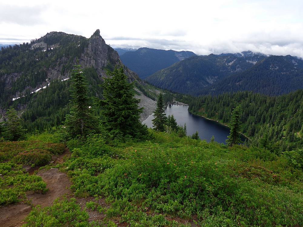
McCausland summit view of Dow Lake, Union Peak hidden in clouds. |
Lichtenberg Mountain from the summit of Mount McCausland. |
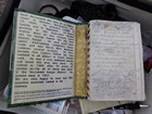
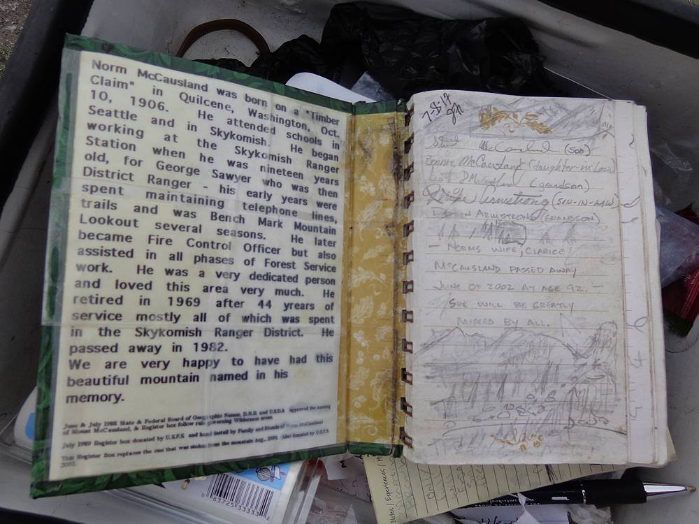
Some history on Norm McCausland in the register. |
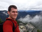
Me and some mosquitoes on the summit. |
|
|
|