|
Mount Baird
A great day climbing the tallest peak in the Snake River Range
Mount Baird is located in far eastern Idaho and is the tallest peak in the Snake River Range. It’s also the highpoint of Bonneville County. The approach trail is quite scenic, and the summit views are excellent, with the Grand Teton visible to the north. All of this adds up the Mount Baird being a pretty popular destination, at least by Idaho standards.
Michael and I had been planning a trip elsewhere, but the weather forecast was poor in most areas closer to home. The exception was far southeast Idaho, so off we went. After leaving Boise about 7:30pm, and a 5 plus hour drive, we made to the trailhead on Little Elk Creek and had the tent set up by 1:30am.
Morning in eastern Idaho comes early, and we were up and at em’ just after six o’clock. It was a beautiful morning to explore a new area. The start of the hike includes crossing Little Elk Creek six times! The first of which claimed Michael’s trekking pole, so an ominous beginning.
After the creek crossings, we made good time. The valley opened up and gave us broader views and some patchy snow to deal with. Then from about 8500’ on, there was full snow coverage. But it was firm and supportive, which was a relief since we’d elected to leave our snowshoes in the car.
Peak 9722’ (“Little Elk Peak”) was also on my radar, and at the 8800’ bowl we briefly debated climbing it first, then heading the north ridge of Baird. But the north ridge looked steep, so we opted for the more standard northwest ridge route. This included some nice snowfields where we donned crampons for some fun snow climbing until we reached the ridge proper.
Once on the northwest ridge, it was a slow steady pace to the summit, with no major obstacles. The top was a great place to soak in the views and eat a PB&J. It was a pretty area, and we could even see the Grand Teton to the north, which was a treat.
After a snack, we tried to peek over the cornice to view the north ridge, but it was overhanging enough that we made the easy decision to just retrace our steps back down the northeast ridge instead, including some foot glissading down the earlier mentioned snowfields.
From the 8800’ bowl, we climbed to toward the saddle to the north, and then up the west ridge of Little Elk Peak, where we found a huge cairn on the summit. Views from here were again great, and we enjoyed a well-deserved rest before heading back down.
The trailed approach made for a quick return to the trailhead, other than the 6 creek crossings. It was a great hike on a beautiful day. We’d tagged two summits, hiking just over 10 miles and 5000’ elevation gain in just under 9 hours. But our day wasn’t done. Next up, Mount Glory!
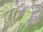
Map of our route, 10 miles and 5000' gain round trip. |
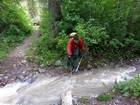
First creek crossing and about to lose a trekking pole. |
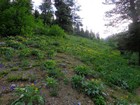
Wildflowers near Little Elk Creek. |
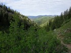
Looking back on the valley. |
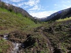
The upper valley, scrubbed by an avalanche within the last few years. |
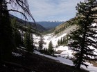
Another look back. |
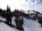
First view of Mount Baird. |
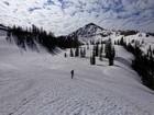
The 8800' bowl below Mount Baird. |
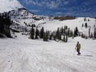
Pondering our climb, northwest ridge on the right. |
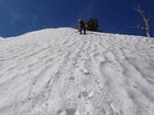
Good snow climbing conditions. |
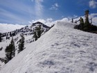
Taking a break on the ridge. |
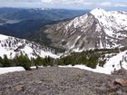
Climbing toward the summit, Palisades Reservoir in the background. |
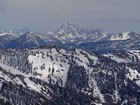
Zoomed in view of the Grand Teton from Mount Baird. |

Mount Baird summit shot. |
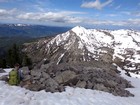
Reading the register notes, Sheep Creek Peak in the background. |
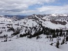
Little Elk Peak from Mount Baird. |
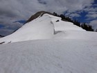
Cornice on the way up Little Elk Peak. |

Michael on the summit of Little Elk Peak, Mount Baird in the background. |

Little Elk Peak summit shot. |
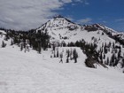
Michael heading down the bowl, Mount Baird in the background. |
|
|
|


