|
Cinder Cone Butte
Elevation 3426'
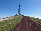
Cinder Cone Butte is located out in desert sagebrush country, on the Snake River Plain southeast of Boise. It has less than 400’ of rise above the surrounding plain, but that is just enough to provide some great views. There is a road to the summit, and several communication towers on top of the butte.
Steve and I headed out to enjoy a sunny spring afternoon. The first objective was supposed to be Big Foot Butte, but the National Guard was conducting drills there, and they told us we couldn’t go any further because “the range is hot”. So we would have to settle for Cinder Cone Butte as our only destination.
We drove the Range Road to a junction south of Cinder Cone Butte. We thought about heading cross-country up the southeast slopes, but decided to stick to the road to make for a longer hike. So we spiraled our way up and around the mountain, with increasing views (and wind) the higher we got.
We had great views from the summit, and tried to identify mountains in the distance. The wind got a bit chilling after a while, so we retraced our path back to the car. All in all, a nice hike on a beautiful day. Neither of us had been in the area before, so the drive was a fun adventure too.
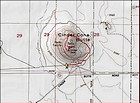
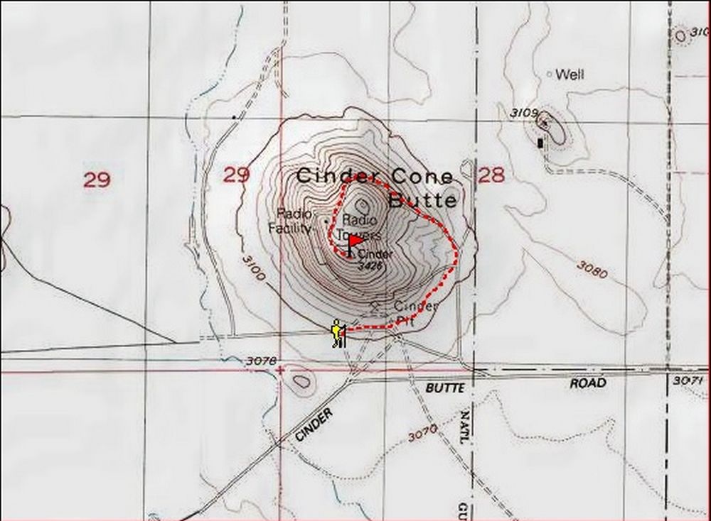
Map of our route, about 2 miles and 375' elevation gain round trip. |
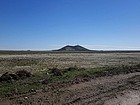
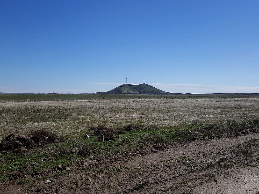
Cinder Cone Butte from the west during the drive. |
View from the east, on the way up. |

Looking east toward Bennett Mountain during the hike up. |
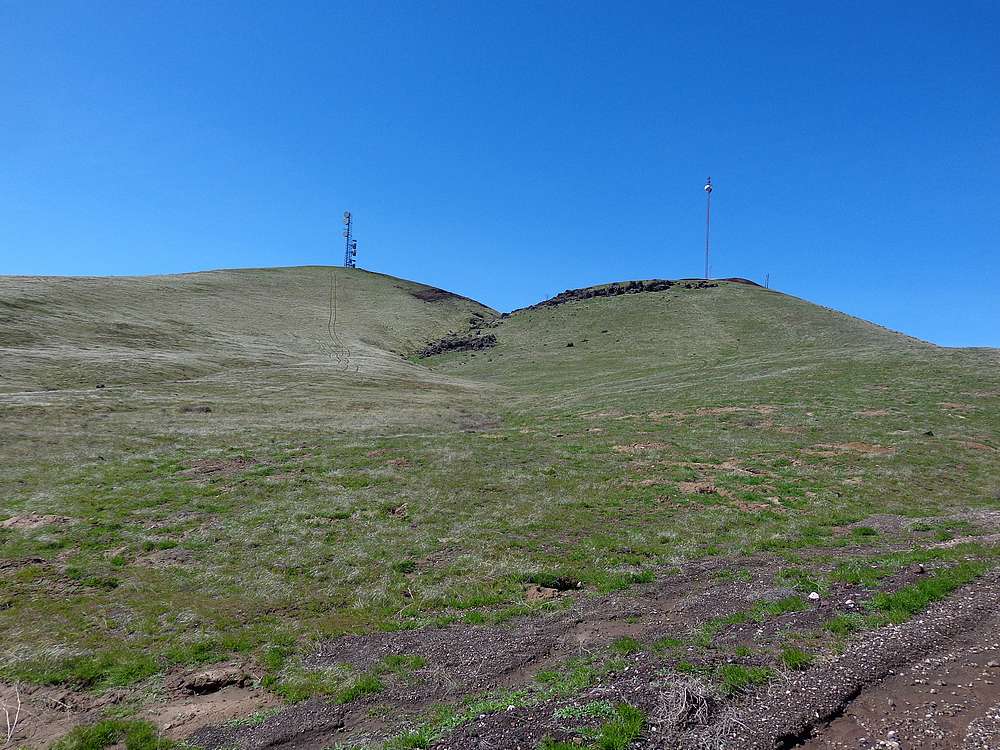
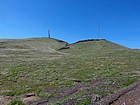
Nearing the summit of Cinder Cone Butte. |
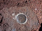
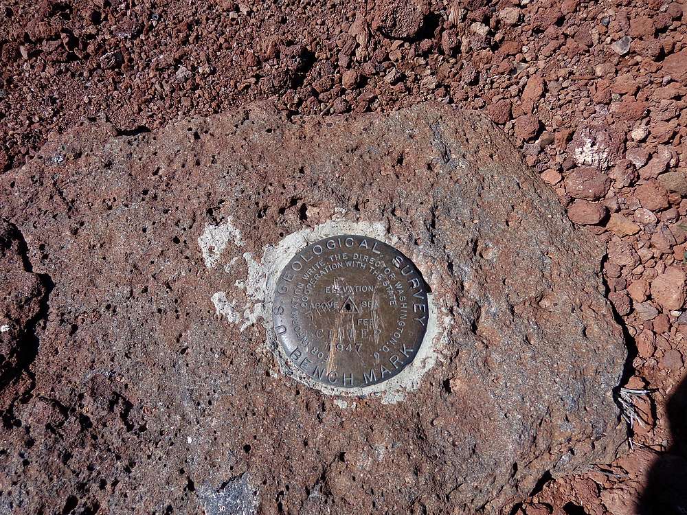
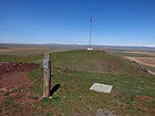
Summit benchmark. |
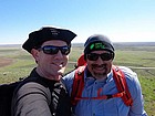
Hero shot on the windy summit. |
North summit with the Boise Mountains in the background. |
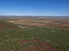
View northeast of the Danskin Mountains. |
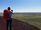
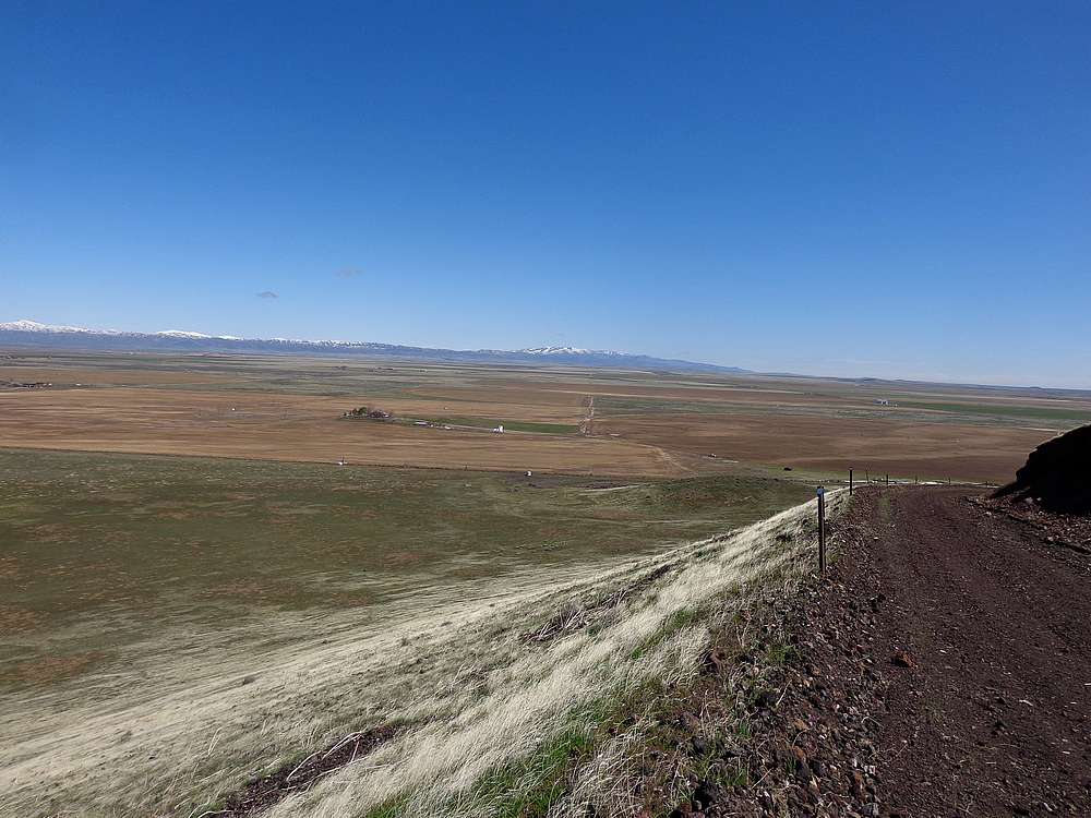
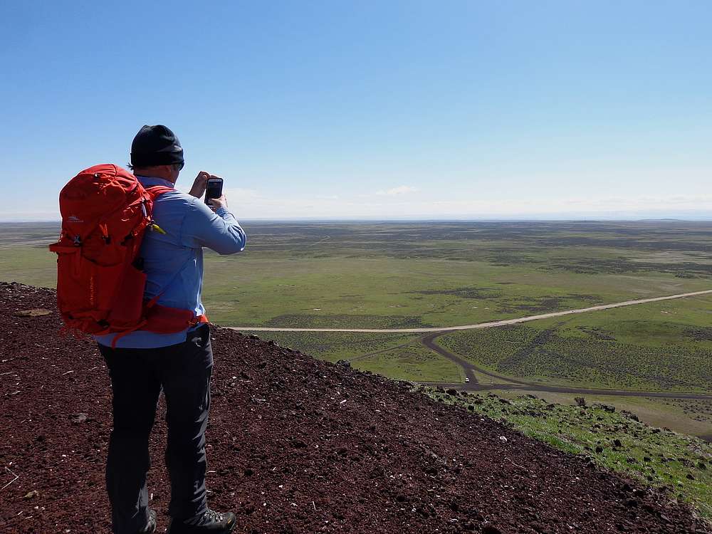
Steve looking south toward the Owyhees, our car down below. |
|
|
|