|
Copper Mountain is a located in the northwest corner of the Sawtooth Mountains. It’s a popular winter destination for backcountry skiers thanks to its open slopes and good winter access. The trailhead is near Banner Summit, which is about a 3-hour drive from Boise. The climb is only about 2 miles and 2000’ elevation gain from the highway.
Sean and I were looking for something fairly close that would get us home at reasonable hour, and Copper fit the bill. We hit the trail at about 9:30 under blue skies. There’s an unwritten rule that you shouldn’t snowshoe in the ski tracks, but the existing track was so packed that our shoes made almost no effect. So we decided to risk the wrath of the skiers as opposed to exerting triple the effort by hiking in the powder next to the ski trail.
We made decent time winding up through the trees, but we weren’t in any hurry since it figured to be a short day. Once we gained the shoulder of the ridge, the views opened up and we could see why the area is so popular. The final climb to the summit was very nice through open terrain. Once on top, we were rewarded with great views and awesome weather. The sun was shining and the wind was almost non-existent, so we took an extended lunch break while taking in the scenery and trying to identify the various peaks in all directions.
Since we had plenty of time, we decided to descend the southeast ridge, and loop back around to the trailhead via Pt 7992’. The powder was deeper on the descent route, but it was still pretty easy going heading downhill. It wasn’t long before we got back to the highway. About 5 hours round trip (including lunch), covering almost 6 miles and 2000’ elevation gain. It was an excellent day in the mountains. The weather couldn’t have been better.

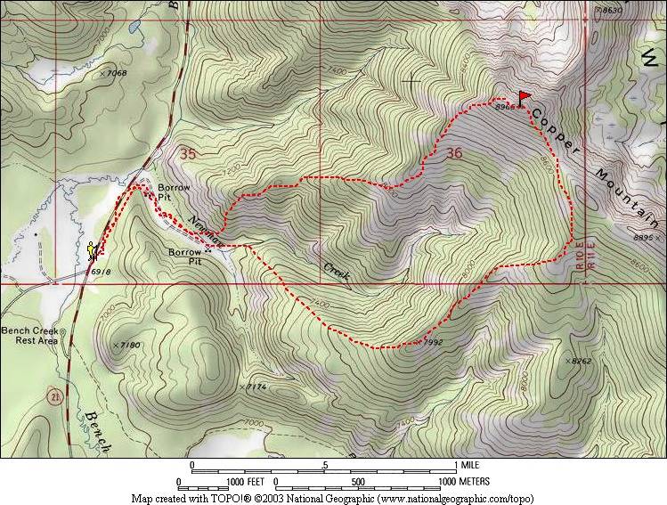
Map of our route. About 6 miles round trip and 2100' elevation gain.
|

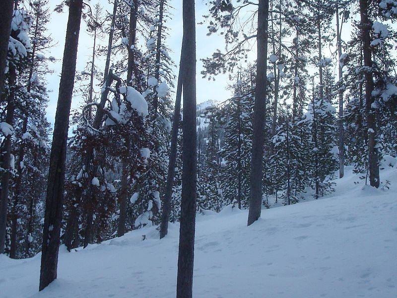
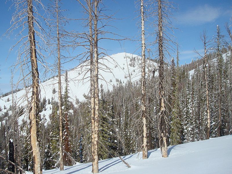
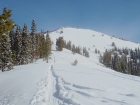
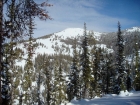
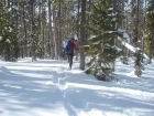
Fleeting glimpse of the highcountry early on.
|
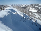
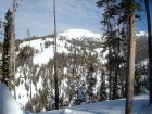
Southwest face of Copper Mountain from the shoulder on the ridge.
|
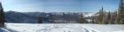
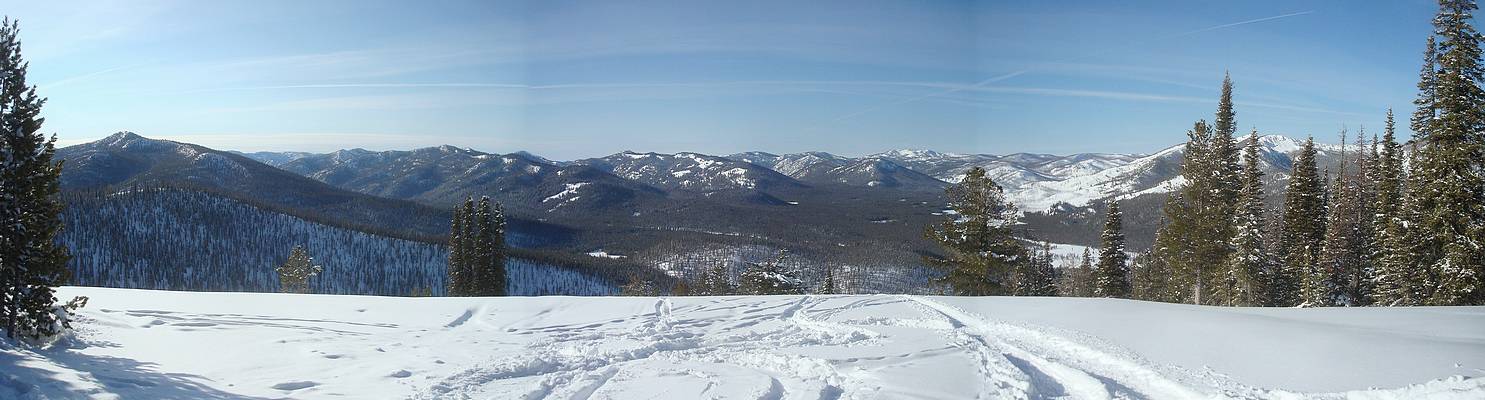
Panoramic view to the southwest, Bull Trout Point behind the trees on the right.
|

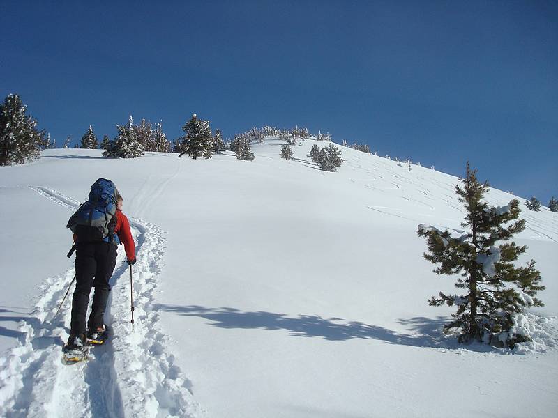
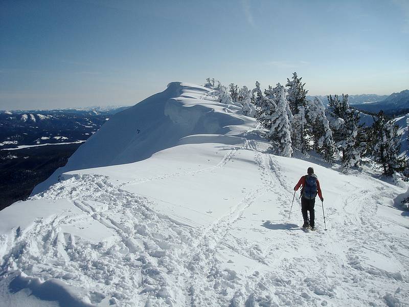
Not far from the summit. The skin path was so packed that our shoes did no damage.
|

Sean nearing the summit.
|
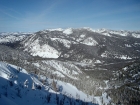
Summit view southeast with the Sawtooths in the background.
|
Cape Horn Mountain to the northwest.
|
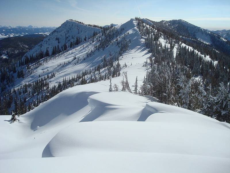
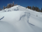
Cornices on the summit ridge.
|
Descending the southeast ridge, with Castle Peak in the distance.
|
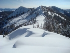
Cornices on the southeast ridge.
|

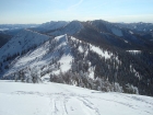
Looking back on Copper Mountain from the south.
|
View of Copper from just below Pt 7992'.
|
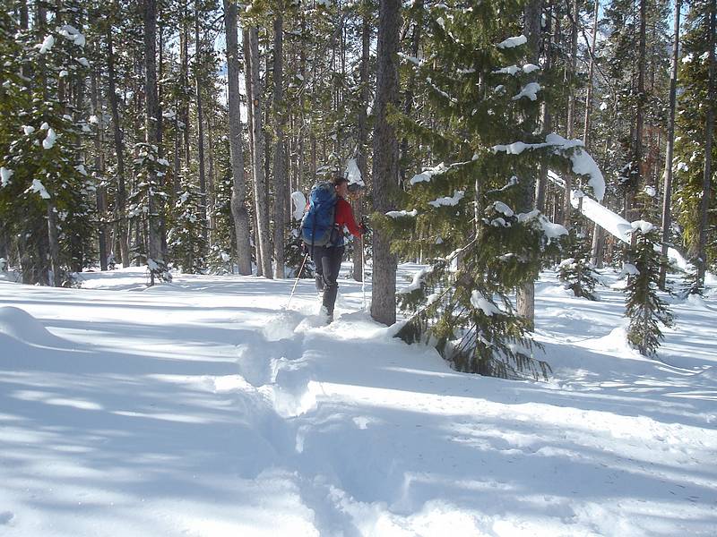
Sean heading back down into the trees.
|
One last view of Copper as we descend off the ridge.
|
|