|
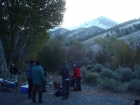
Most every year, Dan puts together a fall outing for the regulars on the IdahoSummits message board. This year’s destination ended up being Al West Peak, in the Lost River Range. The peak isn’t very well known, but it is positioned with great views, just north of Mount Borah. Most everyone made their way up to the Rock Creek trailhead on Friday night, where we swapped stories around the campfire while enjoying a gourmet pasta dish that Steve prepared for us. After the last couple folks arrived Saturday morning, our group was 9 members strong: Aaron, Dan, Eric, Margo, Michael, Pat, Splattski, Steve, and me. We hit the trail at around 8:30 and a chilly 15 degrees.
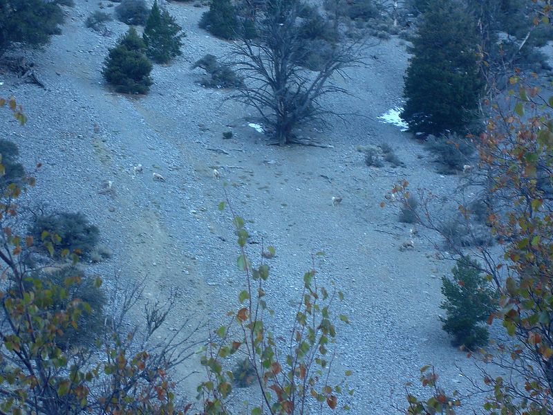
Since Rock Creek is also the access for Borah’s north face route, there’s an occasional climbers trail part of the way, but it was hard to find under a few inches of recent snow. Fortunately, both Dan and Pat lead us nicely through the brush near the creek bottom, and we made decent time as we wound our way up the valley. The cold was motivation to keep moving, but we did take a couple short stops, including one to check out a heard of bighorn ewes.
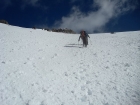
After a couple hours, we finally felt the sunshine. About this time, Pat got his first look up the south face of Al West, and suggested a route that would wind its way up the face. The group split at this point, with a party of five sticking with the original “standard route” up the southeast ridge, and four of us electing to take the more direct south face route. Most of us had snowshoes, and no one brought crampons, but we were fortunate that the snow had a light crust that made kicking steps easy in most places. Although where there wasn’t snow, scree was abundant so this may not make the best summer route.
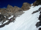 The climbing was very scenic, with the north face of Borah behind us, and limestone cliffs around us. After traversing around and over a short rocky step, the crux was behind us and we made our way up the face. I’d estimate the steepest section was no more than a 40-degree slope. We angled toward the east until we met the ridge, where it wasn’t as steep. But the snow was less consolidated, which made for somewhat slow going. Eventually we made it the summit at about 12:45, with howling winds that made for a frigid setting. My energy levels were low, so I ate half a sandwich while the others started back down the ridge to get out of the cold. Pat hung back a little, and we stopped for a snack on the way down. Pat picked a spot at the base of a cliff that had excellent views and was out of the wind. We took our time on the way back, since we knew we’d be waiting for the other group that had taken the longer route. Eventually everyone made their way back down to the trailhead, where we chatted for a while about the day, then made the long drive home. The climbing was very scenic, with the north face of Borah behind us, and limestone cliffs around us. After traversing around and over a short rocky step, the crux was behind us and we made our way up the face. I’d estimate the steepest section was no more than a 40-degree slope. We angled toward the east until we met the ridge, where it wasn’t as steep. But the snow was less consolidated, which made for somewhat slow going. Eventually we made it the summit at about 12:45, with howling winds that made for a frigid setting. My energy levels were low, so I ate half a sandwich while the others started back down the ridge to get out of the cold. Pat hung back a little, and we stopped for a snack on the way down. Pat picked a spot at the base of a cliff that had excellent views and was out of the wind. We took our time on the way back, since we knew we’d be waiting for the other group that had taken the longer route. Eventually everyone made their way back down to the trailhead, where we chatted for a while about the day, then made the long drive home.
What a great day in the mountains. It was fun to meet some new friends, and catch up with old ones. Dan had picked a great mountain to climb in a very scenic area. And eight of us managed to summit, not a bad accomplishment considering the conditions.
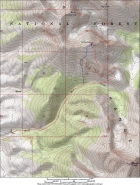
Map of the route. About 8 miles and 4100' using the south face route (in blue). A mile or so longer using the standard southeast ridge route.
|
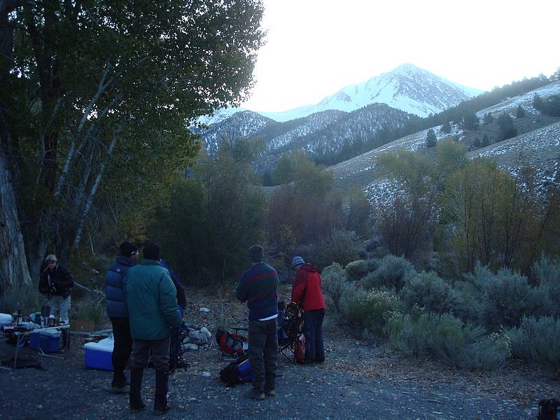
Getting ready at the trailhead, Borah in the background.
|

Herd of Bighorn ewes we saw early on.
|
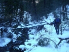
Making our way along Rock Creek.
|

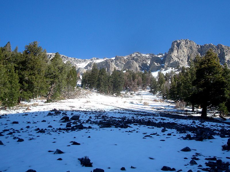
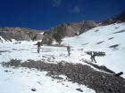
The first view of the south face route, we headed towards the snowfield on the left.
|
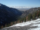
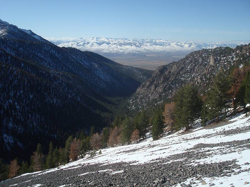
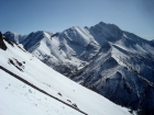
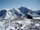
Rock Creek canyon, with the Pioneers in the background.
|
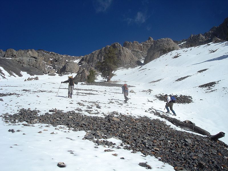
Eric, Pat, and Aaron low on the south face of Al West Peak.
|
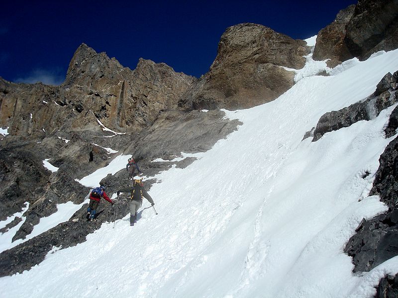
Nearing the crux of the route.
|
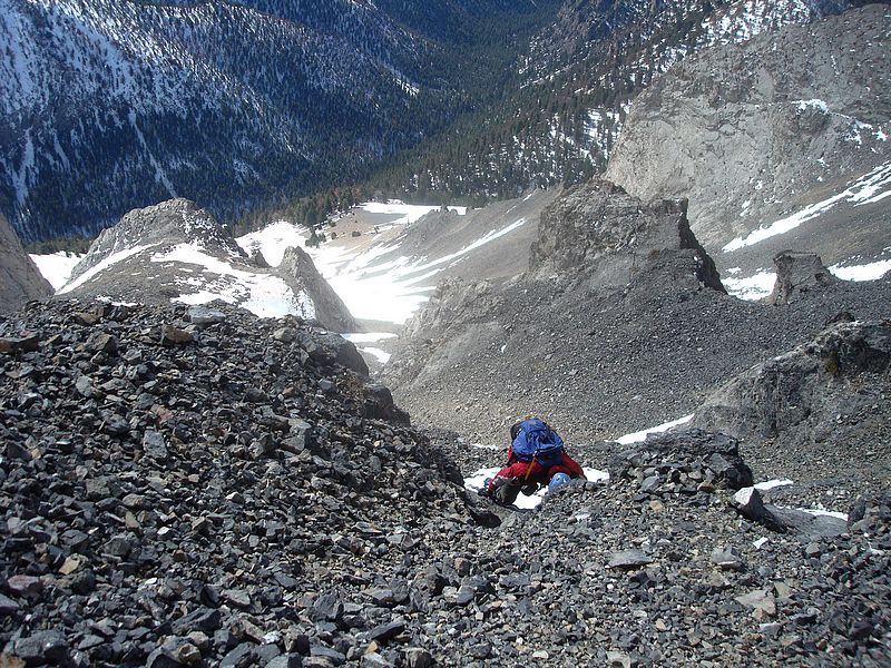
Aaron on a short scramble section.
|
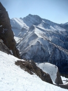
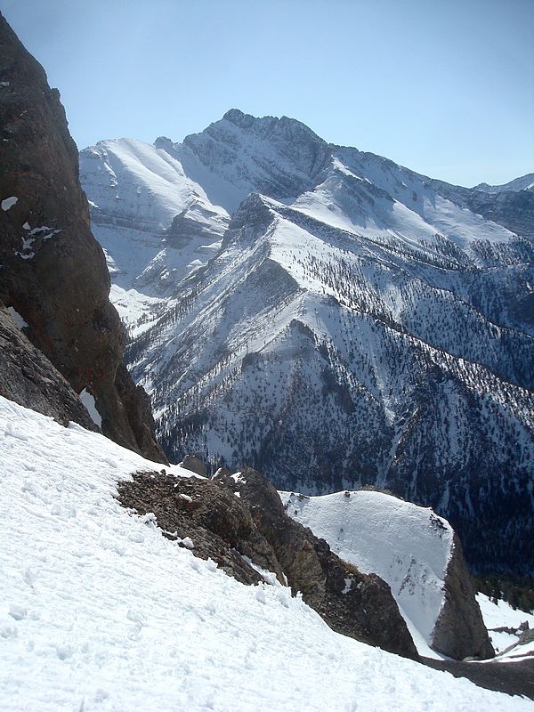
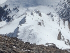
The north face of Mount Borah from the south face of Al West.
|
Past the crux, it’s a straightforward snow climb.
|
One of the steeper sections, around 40 degree slope.
|
Another shot of the north face of Borah.
|
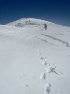
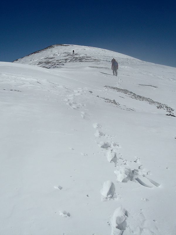
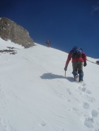
Nearing the summit in high winds.
|
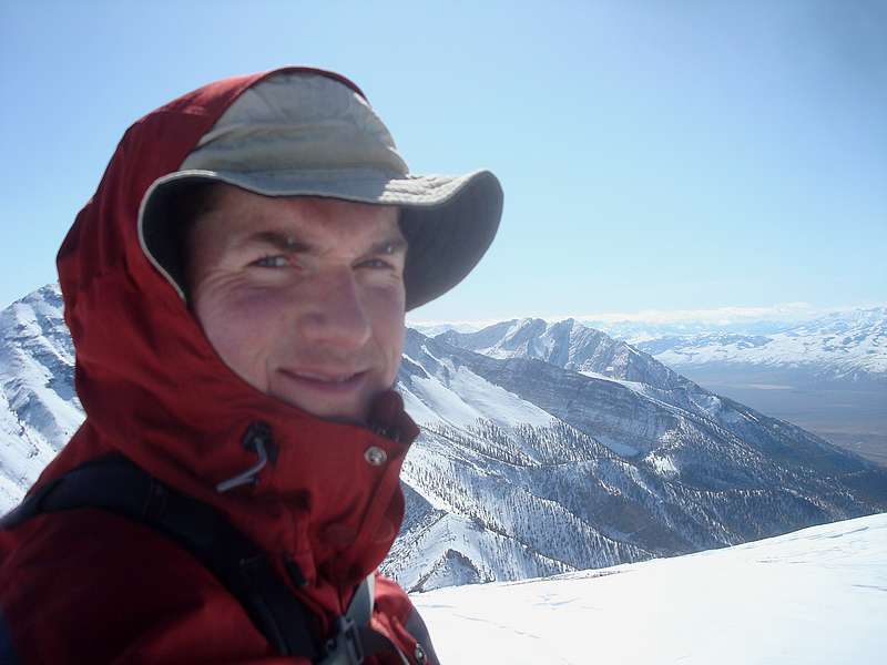
Mount Borah from the summit of Al West Peak.
|

My splattski shot from the summit.
|
Zoomed in shot of the other group making their way up the southeast ridge.
|

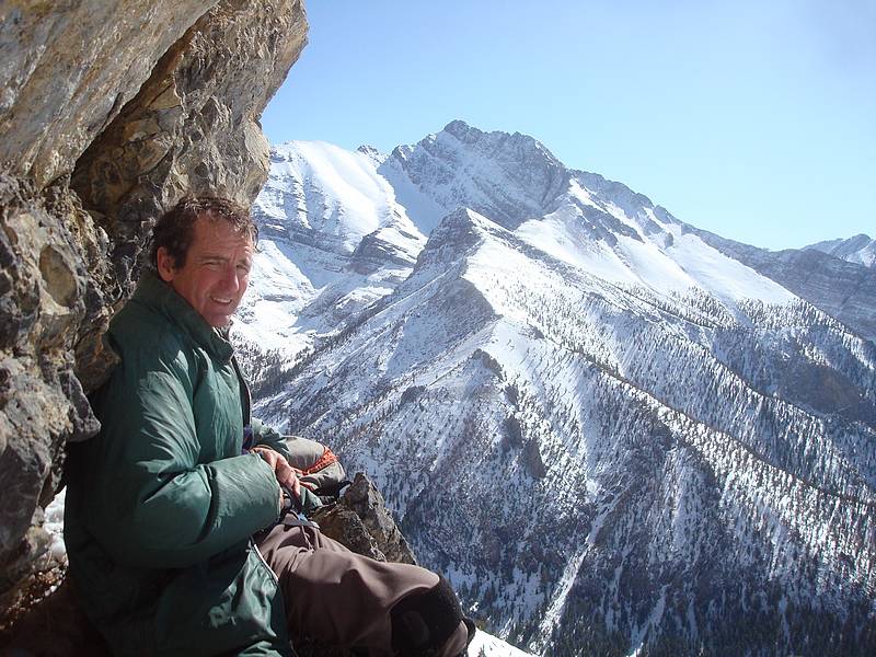
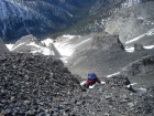
Pat at our most excellent rest spot.
|
Afternoon shot of Borah from the Rock Creek trailhead.
|
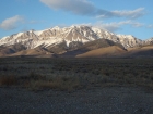
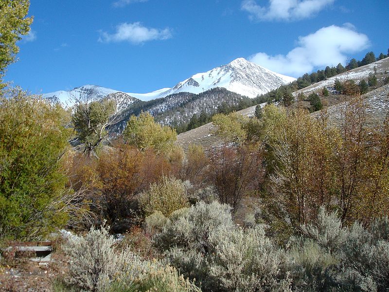
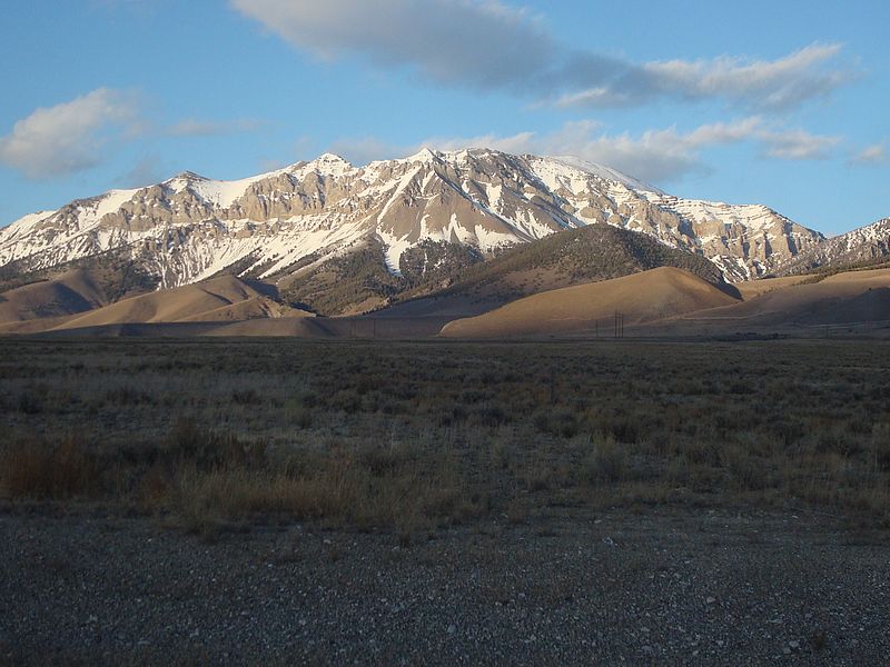
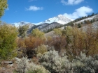
Al West Peak from the highway. The summit is the rounded area on the far right.
|
|