|
Freeman Peak is located near Pilot Peak in the Boise Mountains, northeast of Idaho City. It is named for James Freeman, who had a mining claim in the area during the gold rush days. We had originally hoped to climb a bigger peak, but a bunch of new snow put the kibosh on those plans. Even with all the snow, I still wanted to take advantage of a pre-arranged day pass granted by my wife. The weather forecast wasn’t the greatest, but John was still willing, so we picked Freeman Peak since it was close to home and the surrounding terrain would have low avalanche risk.
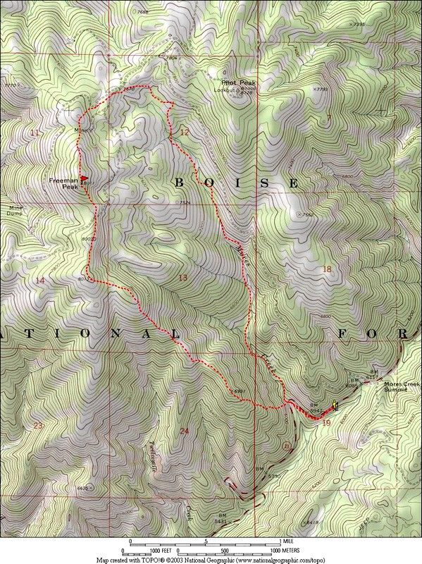
The plan was to start out from Highway 21 at the last hair-pin turn below Mores Creek Summit, climb Freeman Peak's southeast ridge, loop around to Pilot Peak, then drop back down to the car. Climbing up to the ridge from the highway was the steepest part of the day, and took us about an hour of zigzagging through the powder. Once on the ridge, we lucked out and found some nordic ski tracks. This sped up our progress quite a bit since there was only about 6 inches of new snow over them. After a while the tracks faded and we were back to trudging through knee-deep powder (even with snowshoes on). Eventually we made it to the summit, where the views were non-existent during the ongoing snowstorm. We couldn't even see the next ridge over, let alone some of the more distant mountains I'd hoped to see. But it was still great to be out in the woods in the fresh air surrounded by beautiful snow covered trees. From here we headed north across the flat summit area, hoping to pick up a snowmobile track to follow to Pilot Peak. But as time went on, no tracks were found and the snow conditions continued to give us quite the workout, even on flat terrain. After a while we began to question our position. It seemed like we should have already made it to the saddle between Freeman and Pilot Peak. (Thinking back, our internal GPS's were probably thrown off by the slow pace we had been making through the deep snow.) Eventually we decided to drop down off the ridge and follow the upper Mores Creek Drainage back down to the highway. The going was still slow and I was getting pessimistic that we may not make it back to the car before dark. This was cured by a snack break that gave us some energy. Soon after that we found some features on the map that told us we were closer to the car than we thought. This lifted our spirits and our pace picked up a bit, even in the thick blowing snow. At about 6500' we met up with some more pre-storm ski tracks and the going got better. Finally we came around a bend in the ravine and the highway came into view just a couple hundred yards ahead, a very nice surprise.
At the end of the day, we were tuckered out. In fact, I'm sure this is the most work I've ever done in 8 miles and 2200' of elevation gain. But any day in the mountains is a good one, and I think we were both happy with the distance we'd covered in the deep snow.
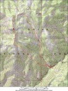
Overview map of the route.
|
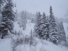
The lower slopes of Freeman Peak's southeast ridge.
|
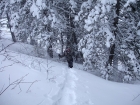
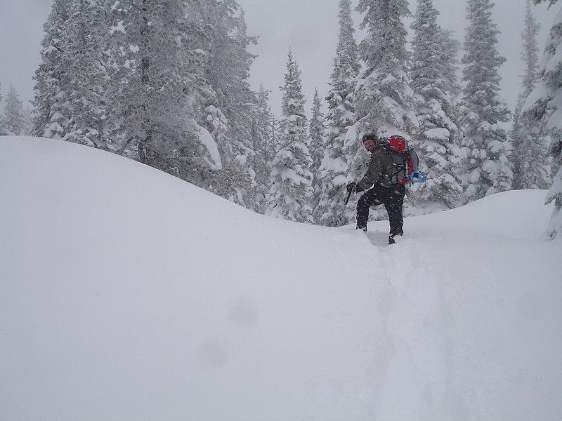
Here's John finishing off the steep section just before we made it up to the ridgeline.
|
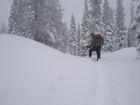
This shot gives and idea of the amount of snow that was falling on us pretty much all day.
|
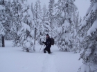
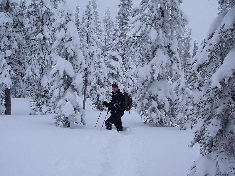
John took this shot of me after leaving the summit. There are some snowshoes under that snow somewhere.
|
|