|
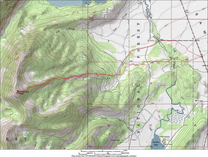
McDonald Peak is one of the few summits in the Sawtooths that can be reached in winter in a long single day outing. Its towards the southern end of the range and is the highpoint on the ridge that runs north and south between Alturas and Petit Lakes. The "trailhead" is a pull-off on highway 75 about halfway between the lakes.
John chose our destination, and George and his buddy Stan from San Diego were also in on the hike. We got up early since we knew it would be a long day and were on the road by 5am. As we drove, it was apparent that we might be in for some cold temperatures, even on this clear sunny day. As we dropped down into the Sawtooth Valley from Galena summit, the temperature on the Durango thermometer dropped quickly. By the time we got the trailhead, it was NEGATIVE NINETEEN DEGREES! By far the coldest temperature I'd ever been out in voluntarily.
We all got bundled up, strapped on the snowshoes, and hit the trail running. It was cold but tolerable once we got moving since there was no wind. It didn't take too long for Stan to find out that his gear wasn't quite up to the conditions, so he explored a while then headed back while the other three of us continued. The first couple miles are on flat terrain with the peak in plain view. It was hard to tell if we were getting any closer or not... Eventually we made it to the base of the mountain, and began to weave through trees at the base of the peak's east ridge. It was shady in this area, so the snow was kind of deep at times, but after a while the timber opened up for us to get our bearings. The going was much easier in the crustier snow on the exposed slopes, and the temperature was rising as we gained elevation.
Our progress was slow and steady as we took turns breaking trail up the ridge, catching occasional views of the summit. As we got higher, the forest became mainly lodge-pole pines so it was easier to zigzag our way through the trees. By this time our winter physiques (or lack thereof) were taking their tolls as we "rumbled, bumbled and stumbled" up the ridge. Eventually the ridge becomes more gradual, and is almost flat at the point it where it meets the main summit block near tree line. The summit block itself was much steeper. We climbed a couple hundred feet, then ditched the snowshoes for the rest of the climb since there was quite a bit of exposed rock from that point on.
Once on the summit, the views were outstanding. Snowyside peak dominated the scenery to the west, with the Raker spires visible farther off in the distance. Behind us, we had a great view of Castle Peak and the rest of the White Clouds on the east side of the Sawtooth valley. We would have stayed on top longer, but daylight would be getting scarce soon, so we waited long enough for some photos, a quick snack, and George’s celebratory can of Coke then headed down. On the way, we tried to glissade down to the base of the ridge, but the snow was too powdery to let us get very far, so we switched back to snowshoes pretty quick.
The hike back was uneventful. We were pretty tired, but the view of the sun setting on the White Clouds kept our spirits up. Once back down on the flats, we followed snowmobile tracks back to the car. The made for a longer distance, but easier hiking. Soon enough, we had to rely on moonlight to see the trail. We finally got back to the car at around 6:30. It had taken us 9.5 hours to do just under 12 miles and 3000’ feet of elevation gain. It was a long day, but we were happy with our accomplishment and the chance to get into the Sawtooths in January.
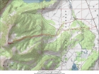
Overview map of the route.
|
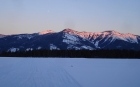
Looking towards McDonald Peak from the beginning of the hike.
|
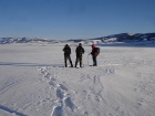
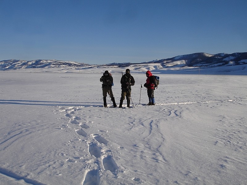
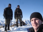
John, George, and Stan at the start of the hike in -19'F temperatures.
|
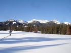
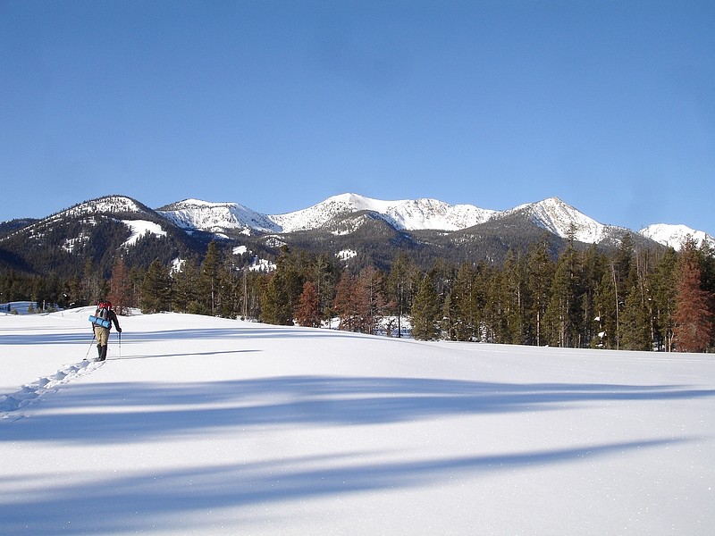
John hiking in the flats with McDonald Peak in the background.
|

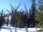
George and John in one of the more open areas near the bottom of the ridgeline.
|

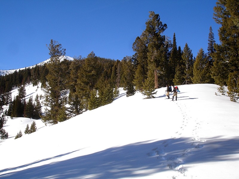
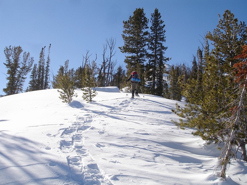
Here's John on the upper part of the ridge.
|

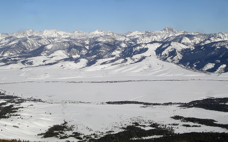
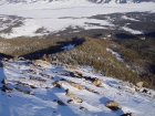
A view to the north from the upper section of McDonald Peak's east ridge.
|
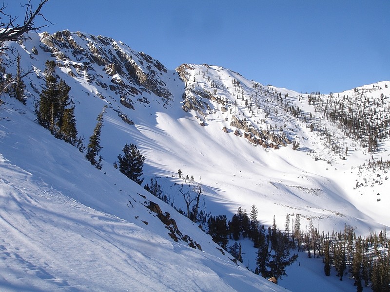
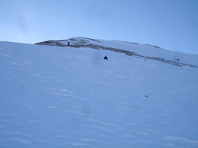
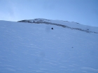
This is a look at the summit from near where the east ridge meets the summit block.
|
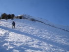
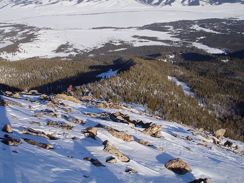
John climbing the steep section at the base of the summit block.
|
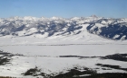
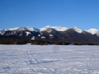
Looking towards the White Clouds to the east.
|
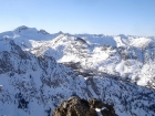
The view to the west from the summit of McDonald Peak is awesome. That's Snowyside Peak on the left, with the Rakers in the distance to the right.
|
George, John and Dave on the summit. George is one of the few "sponsored climbers" I've been out with, his jacket has his sponsor's insignia.
|
John and George making their way off the summit. We've got a long hike back to the car.
|
This is George attempting a glissade, but the snow was a bit on the powdery side.
|
Here's the sun setting on Horton Peak. We're still a couple miles away from the warm car at this point.
|
|