|
Jonstone Peak is located on the western edge of the Pioneer Mountains, east of Ketchum. It has quite a few different route options in summer, and is one of only a couple mountains in the Pioneers that can be climbed in winter on a single day outing. The highlight of the winter south ridge route is the awesome views of the main Pioneer crest visible much of the time.
George and I left Boise at around 5:30am, and then picked up JohnR and Splattski along the way before arriving at the trailhead at about 8:30. The starting point is located on the same road you take to get to Hyndman, and is plowed to within about a mile of the Bear Gulch intersection.
The steepest part of the hike is probably the initial ascent to Point 8004’. The snow conditions made for easy going down low, but we started breaking through the crust as we neared the ridge. Fortunately the conditions got better when we got a little higher, so we made pretty good time along the up-and-down portion of the ridge. We were having a fantastic day. The views of the big Pioneer peaks were great, even from down low on the ridge, and the weather was great with minimal winds and barely a cloud in the sky.
The route began to get steeper at around 8200’ as we approached the crux of the climb, a partially exposed band of rocks. George and I gave the Johns a head start in this section since we didn’t want to leave them in the dust. (The poor guys had no Televators on their snowshoes.) We reached Point 8823’ soon enough, and stopped for a break. Looking back on the route, we could see someone climbing behind us and making good time. We later found out that it was Michael who I’d invited the day before via email, but never heard back from. I’d given him the wrong starting time, which explained why he didn’t meet up with us at the trailhead. After a snack, and an extended break to take in the views, we were off again. The remainder of the climb wasn’t as steep, but was still work. The weather continued to be great, and we didn’t have to add layers until the last little climb to the summit where the wind picked up a bit.
The summit views were great in all directions, and we stayed there for a while snapping photos until we got too cold and decided to descend back down to the tree-line for a lunch break. Michael caught up with us here, and then went up to tag the summit and then come back down to descend with us. We took a leisurely pace, soaking in the views, and the going was pretty easy other than the final slopes where the snow had softened quite a bit making for some sloppy going. It had been a great day in the mountains, and this peak is highly recommended for the views, probably the best I’ve experienced on a peak in winter.
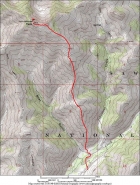
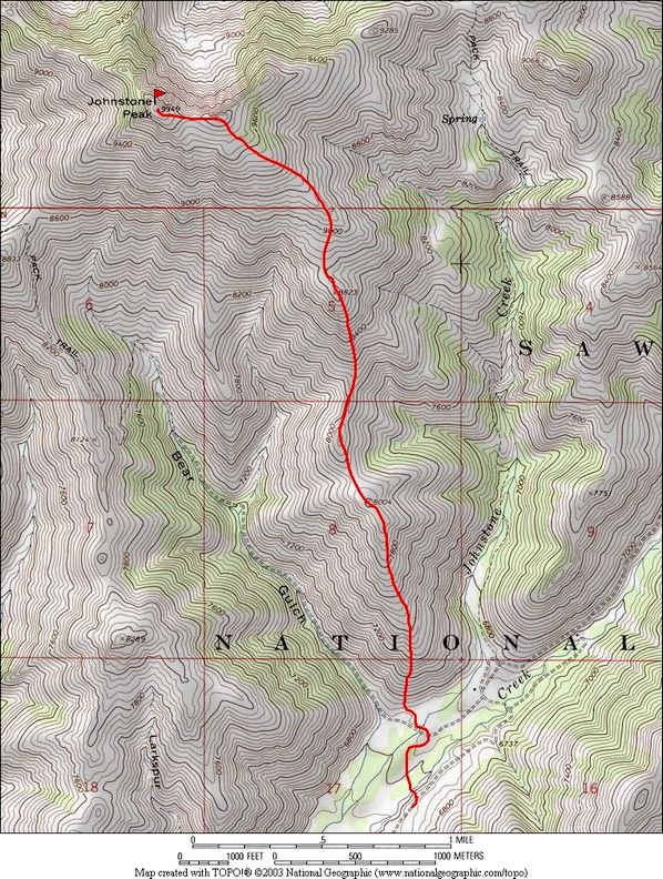
Overview map of the south ridge route, just under 8 miles round trip and 3500' of elevation gain.
|
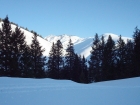
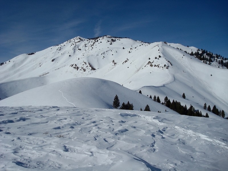
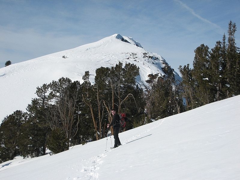
Trailhead view of the summit.
|
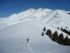
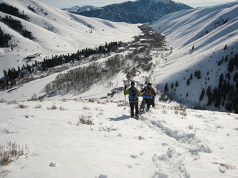
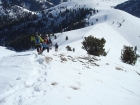
Crossing some ups & downs low on the ridge.
|

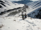
Climbing towards the rock band (George R photo).
|
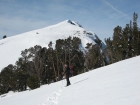
Dave leaving the false summit (George R photo).
|
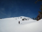
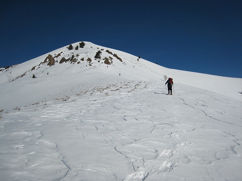
The final climb to the summit (George R photo).
|
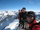
Group shot on the summit (George's camera, Splattski's index finger.)
|
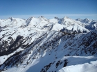
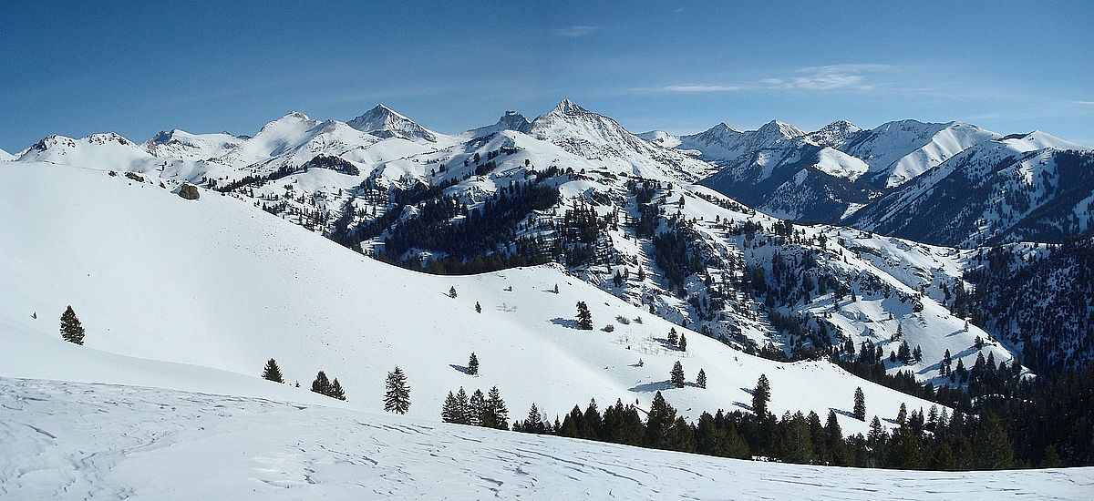
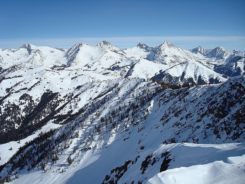
Great view of the Pioneer crest from the summit. Eight 11ers visible in this shot.
|
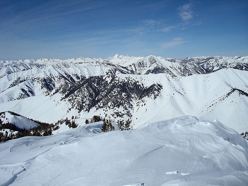
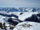
Summit view NNE to the Boulder Mountains.
|
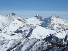
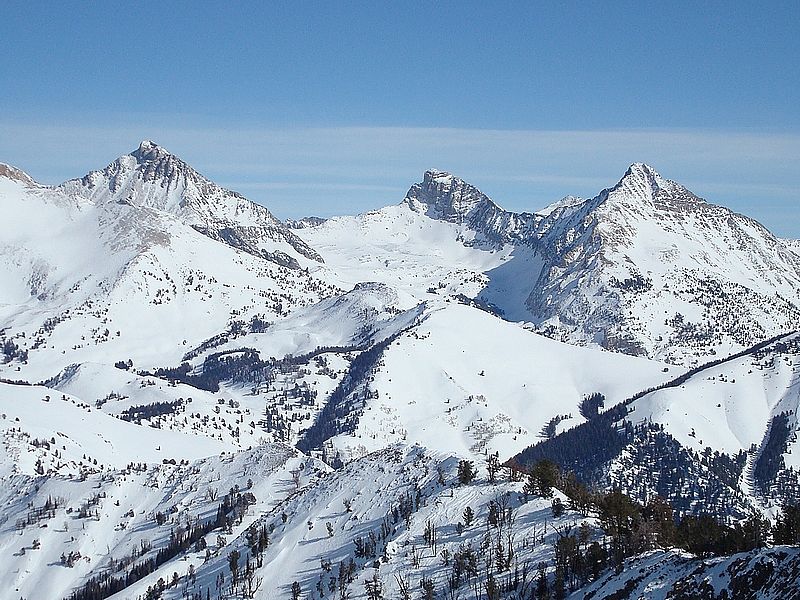
Close-up view of the triumvirate (Hyndman, Old Hyndman, Cobb) from the summit.
|
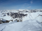
The ski runs on Baldy, with Ketchum down below.
|
Descending the steep section above the rock band.
|
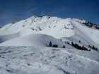
Looking back up our route to the summit.
|
The final descent into the Hyndman Creek Valley. Our cars are down there somewhere.
|

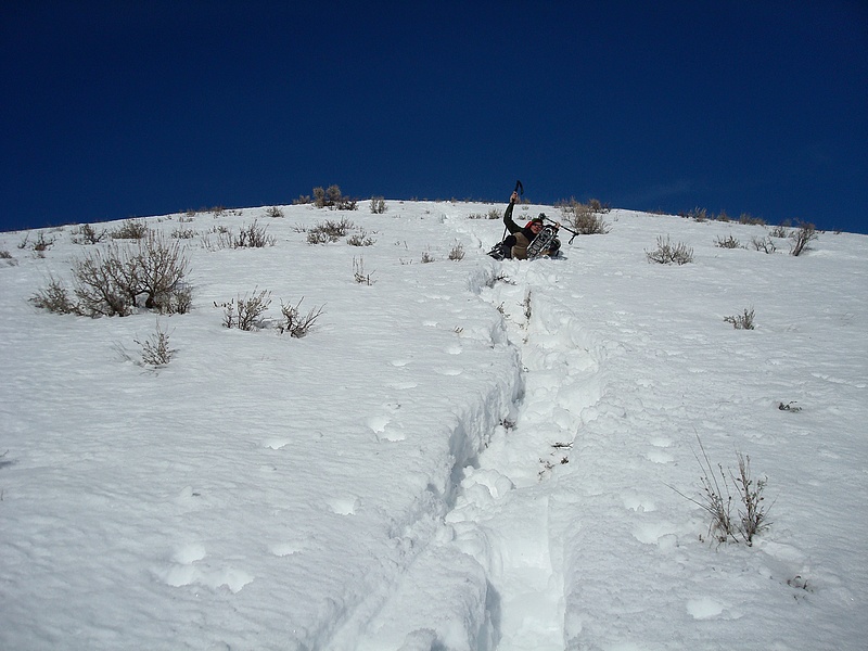
Action shot of George.
|
|