|
|
Related Links
Jughandle Mountain
Boulder Mountain:
|
Jughandle Mountain can be reached via the popular Louie Lake trail, located east of McCall Idaho. It’s a very nice area, and there are several other easy-to-reach peaks in the area, including Boulder Mountain. After some recent snowfall squelched plans for doing a bigger peak, I ended up looking for something a little closer to home, and low enough to avoid deep snow. So after some map perusing, I came up with a loop hike that included Jughandle Mountain and Boulder Mountain (9 miles, 3500' of gain). The route also had a couple options to bail out early if conditions got too messy.
The Louie Lake trailhead is about a 2.5 hour drive from Boise, and I made it there by about 8am and hit the trail. It’s a single track for the first half mile, them merges onto a jeep trail for the next mile to the lake. When I got to the lake, the water was very still and the snow on the peak made for a very cool looking reflection. I then circled around to the southwest side of the lake to head up Jughandle's northwest ridge. The ground was entirely covered with snow from a storm earlier in the week. But the going wasn't too bad until the last few hundred feet, where there was about 6-8 inches of the white stuff covering the boulders along the ridge. It made for some pretty tedious progress, trying to keep from tweaking and ankle or knee inbetween the rocks. Along the ridge I got buzzed by a Cessna who circled back around to check me out. Later I came to some interesting tracks in the snow where a Hawk had caught a rabbit, complete with wingtip markings.
After summiting Jughandle, progress was still very slow through the boulders on the northeast ridge. Eventually I got back down to the saddle south of Twin Peaks, and was able to make better time along this section of snow covered trail that leads to the east side Boulder Lake. I'd made up the time I'd lost on the ridge, so I decided to continue with my original plan, and climb the south face of Boulder Mountain. It seemed to take forever to climb the 1400' of gain to the summit. The summit itself was rounded and pretty anti-climactic. But the views to the north were pretty cool, although the cloud-cover limited visibility a little. From the summit, I just wandered down the west ridge of the peak back to the trailhead. It was pretty open terrain up on top, which made for great views looking south at Jughandle, but the brush got pretty thick towards the bottom. Got back to the car just before 3pm, for a round-trip time of 7 hours.
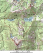
Overview map of the route, taken counter-clockwise.
|
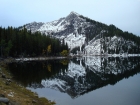
Reflection of Jughandle Mountain in Louie Lake.
|
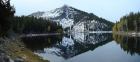
Wider angle of Jughandle and Louie Lake (stitched pano).
|
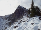
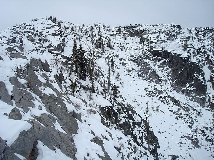
The rugged north face of Jughandle Mountain.
|
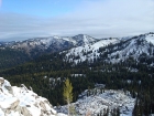
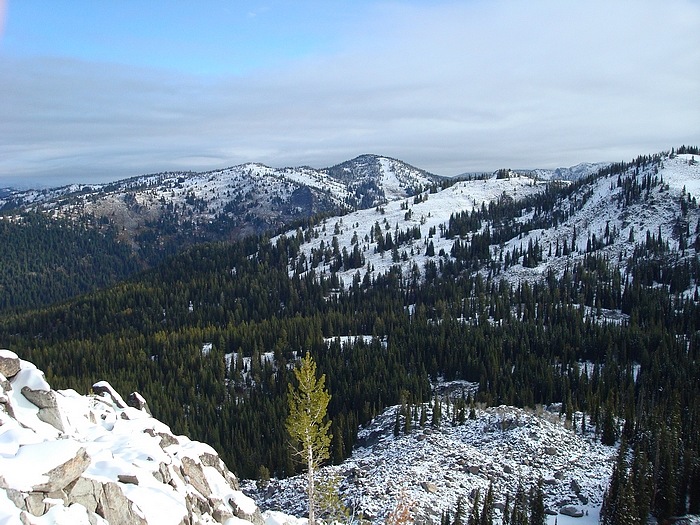
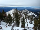
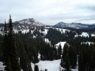
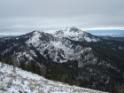
A view of Boulder Mountain from Jughandle Mountain.
|
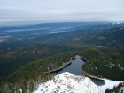
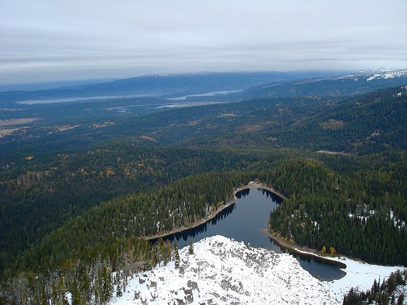
View of Louie Lake and Payette Lake in the distance from Jughandle's summit.
|
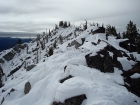
Final stretch to the summit on Jughandle Mountain's northwest ridge.
|
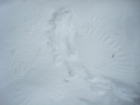
Poof, no rabbit. The rabbit tracks end, and you can see a pattern of wing feathers from where a bird of prey landed for lunch.
|
Summit view looking done Jughandle's south ridge.
|
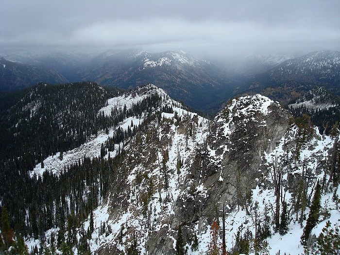
Looking down Jughandle's rocky northeast ridge.
|
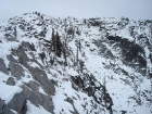
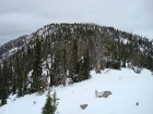
A view back up at Jughandle's northeast face.
|
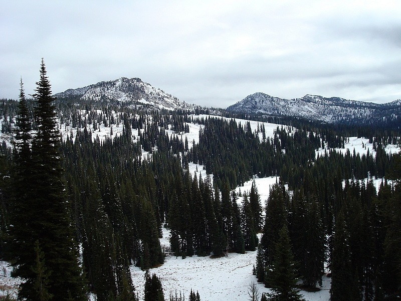
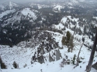
Buckhorn Mountain and Rapid Peak, to the east of Boulder Mountain.
|
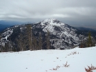
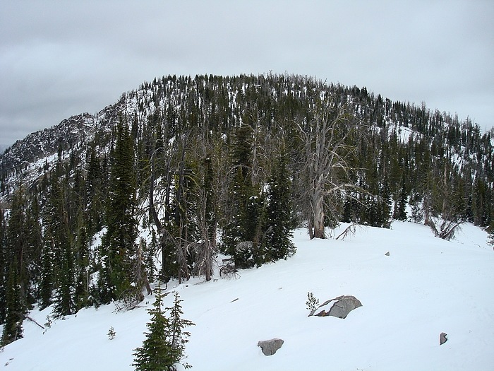
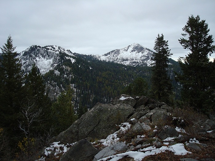
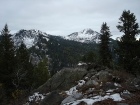
Looking towards Jughandle from near the summit of Boulder Mountain.
|
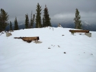
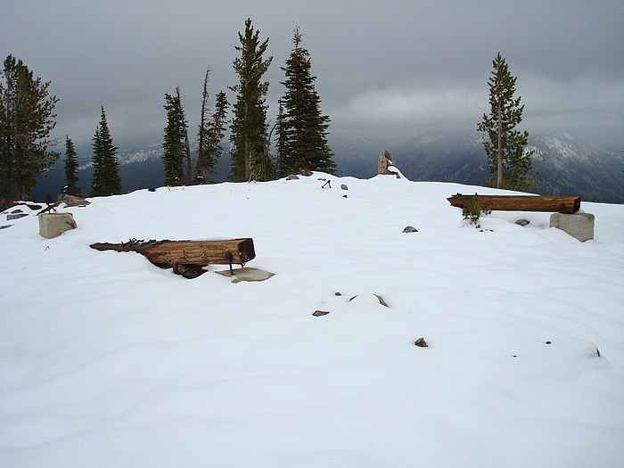
Remains of a structure on the summit of Boulder Mountain.
|

Boulder Mountain summit view north.
|
Looking back up Boulder Mountain's west ridge, during the descent.
|
Jughandle from Boulder Mountain's west ridge.
|

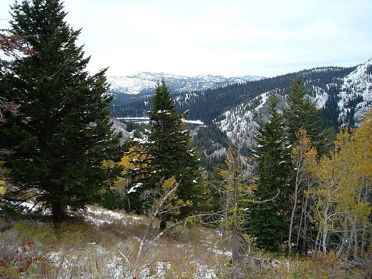
View towards Boulder Lake with some fall colors thrown in.
|
Yet another shot of Jughandle during the descent from Boulder Mountain.
|
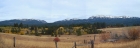
Panoramic view of Boulder Mountain, Twin Peaks, and Jughandle Mountain. Taken during the drive home.
|
|