|
The Devils Bedstead East (DBE) is a huge hulking mountain that anchors the north end of the main crest of the Pioneer Mountains outside of Ketchum. DBE is an eye catcher, and easily one of the most impressive peaks in Idaho. It was also the chosen destination for this year’s IdahoSummits Fall Outing. I’d never met any of the other guys in person, and my wife was a little nervous about me meeting up with a bunch of “people from the internet”, but I was definitely looking forward to the climb.
Dan and I drove up the night before to make camp at Wildhorse Campground, and we were also joined by Brendon and Richard for some campfire stories and speculation about how the climb would be. The rest of the group arrived the next morning, and we headed up the trail in spite of the unsettled weather. As we hiked, I enjoyed hearing these more experienced climbers talk about their various past adventures. The main trail took us to about 8900’ where a side trail forked off leading up to the unnamed lake at about 9900’. At this point we finally caught up with Eric and the Howard bothers, and the grade got steeper as we climbed up to the saddle on the north ridge at about 10600’.
We’d had mostly clear skies up to this point, but the clouds would close in on us for the rest of the climb. Going up from here, we stuck to the ridge at first, and then began working our way out onto the face (climbers right-hand) since the ridge was getting trickier. It was steep, but there were no real difficulties other than the football sized rock that came ricocheting down the mountain, missing my head by only a couple of feet. As we got higher, the snow got heavier, and there was an inch or two of accumulation that made things a little dicey in places. Eventually we reached the summit, which was totally engulfed in clouds. I’d wanted to stay longer, but wasn’t very prepared for the weather from a gear standpoint, an needed to keep moving to stay warm. Thankfully, Mike loaned me some light gloves, which greatly improved my comfort level.
On the way down, we all took our time due to the slick conditions. There was one particularly tricky section up on the ridge, but everyone was able to get through it. Once off the main ridge, all that was left was the rainy hike back along the trail. I really enjoyed the trip in spite of the weather. The successful climb was very satisfying, and it was a great opportunity for me to have spent time with more experienced climbers.
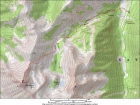
Map showing our route, 10 miles round trip with 4600' gain.
|

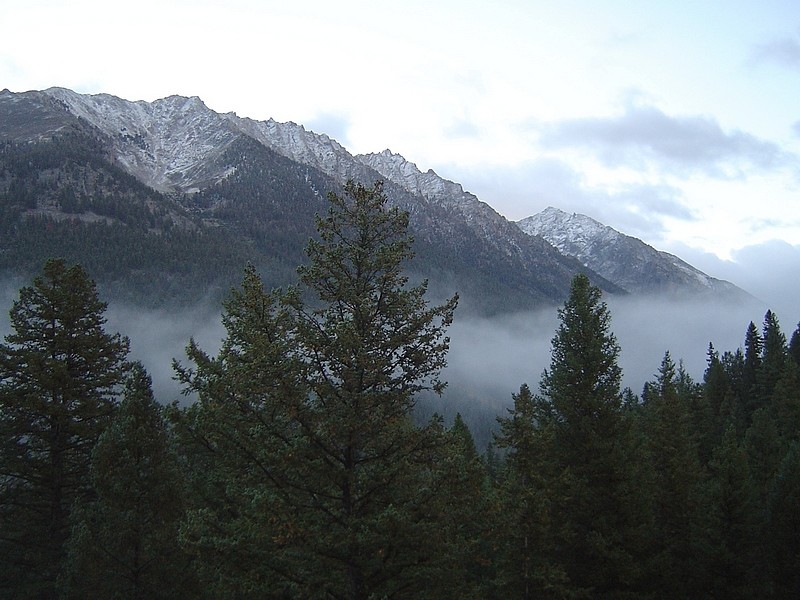
Scenery early in the hike as we made our way up the Boulder Creek drainage.
|

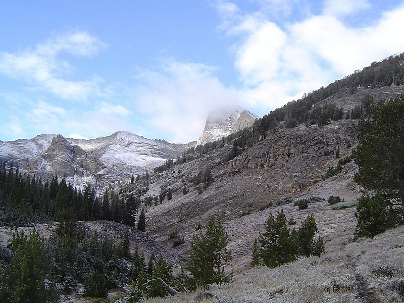
This is one of the earliest views of DBE, seen hiding in the fog from the trail at around 8900'.
|
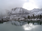
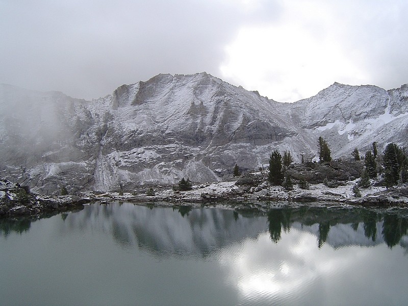
A dusting of snow on the mountains to the east, with Lake 9840' in the foreground.
|
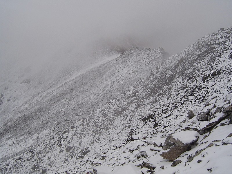
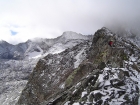
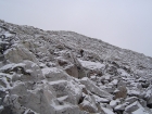
Looking up the steep north face of DBE from the 10600' saddle.
|

View of the Washington Creek valley below.
|
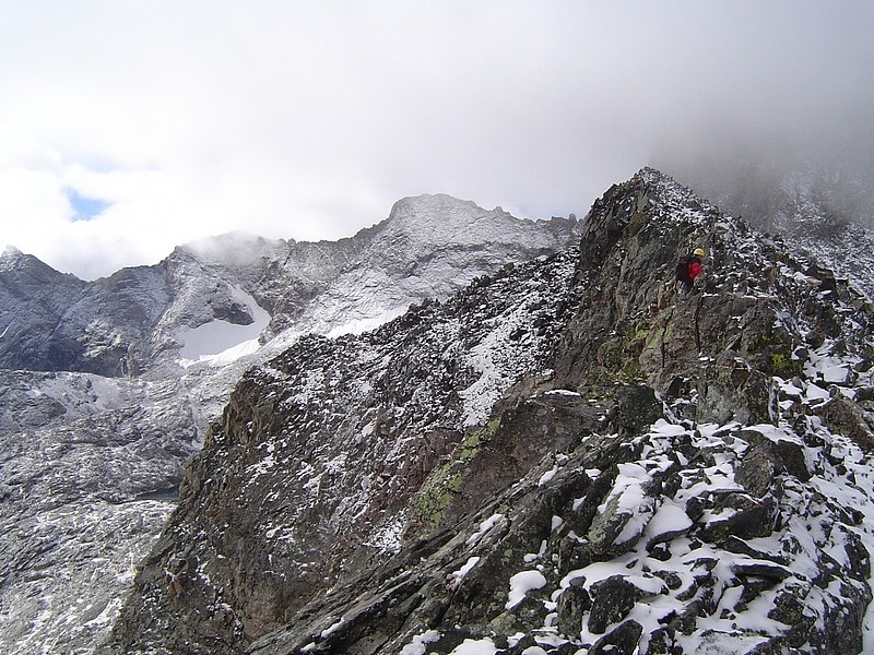
Sean on the ridge with the steep west face of the peak behind him.
|
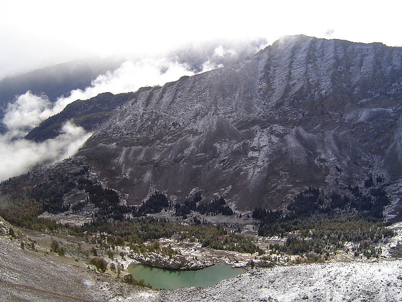
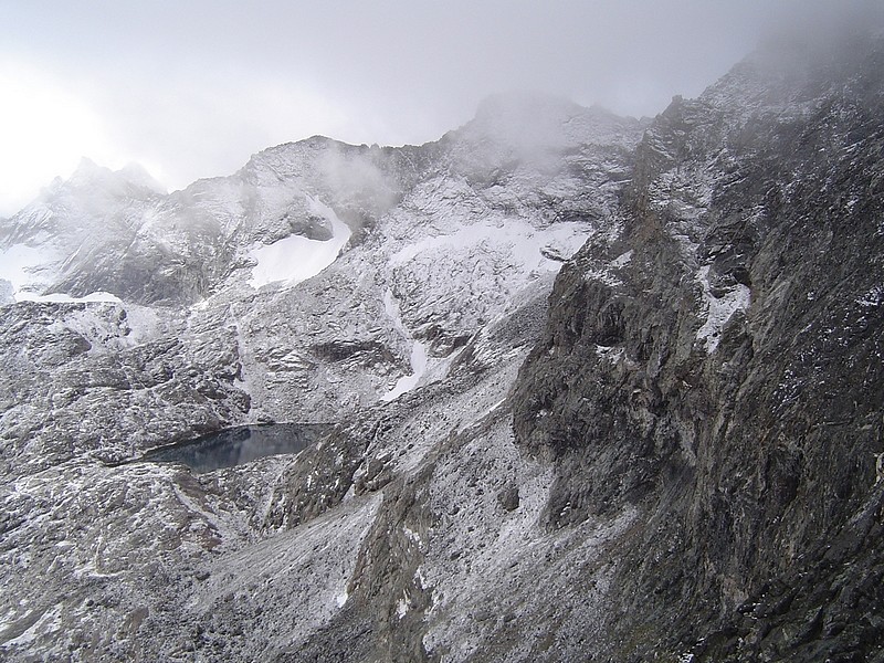
Washington Lake located behind the nearly vertical west side of DBE.
|
Climbers crossing the foggy ridge.
|
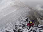
Here is the group making their way up the ridge. Look closely and you can see at least 7 climbers.
|

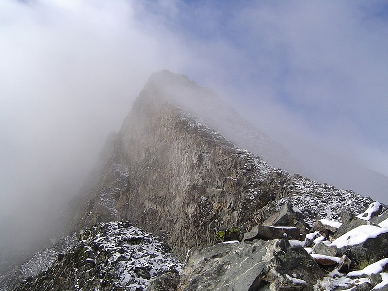
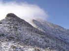
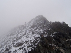
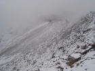
Looking up the ridge with the false summit peeking through the fog.
|
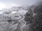
Eric making his way up the north face of DBE.
|
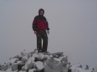
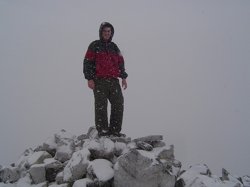
Me on the summit of The Devil's Bedstead, cold but happy.
|
Looking back down the north face of DBE during our descent.
|
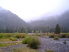
Here's the view looking back up into the fog from the trailhead after we got back.
|
|