|
Sunset Mountain is located north of Idaho City, near Mores Creek Summit on Highway 21. It’s a fairly popular snowshoeing destination since it’s not too far from Boise, and the surrounding terrain provides for minimal avalanche risk. The main route follows a snow-covered jeep road from Mores Creek Summit to the lookout on Sunset Mountain.
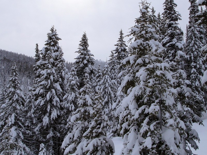
I hadn’t been on snowshoes since I was kid. After mulling over a couple options, JJ and I chose Sunset. It had snowed the day before, so we were treated to about 8 inches of fresh powder. This made for a lot of pretty snow covered trees, but also made our pace kind of slow. We were able to stay with the trail most of the way until about the half-way point where it became a bit hard to make out. But we followed the general lay of the land and the occasional glimpse of the distant lookout tower kept us on track. At about a mile from the summit, we were tiring out, but my summit fever was kicking in so I forged on while JJ took a more leisurely pace. A couple hundred yards below the summit, the snow was wearing me out so I left the road and went cross-country to shave off some distance. It was pretty steep, but eventually I made it up to the frost covered lookout building. With a bit of low clouds, the views were kind of hazy, but still pretty cool.
After taking a few photos, I headed back down to join JJ. We’d been separated for a while, and I hadn’t done a good job of setting the turnaround time, and apologized profusely when I caught up with him, already on his way back. Fortunately he didn’t beat me over the head with his ski poles (although he probably wanted to), and we made the trek back to car without incident.
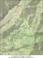
Map showing our route.
|
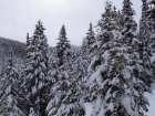
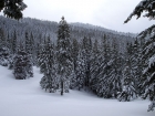
One of the first time the lookout comes into view, from a couple miles away.
|
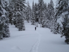
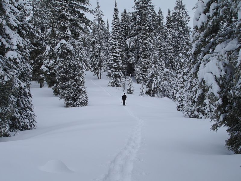
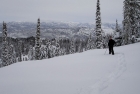
JJ on the trail.
|
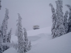
Another view of the lookout in the distance.
|
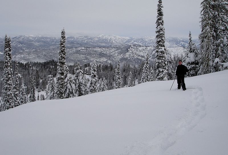
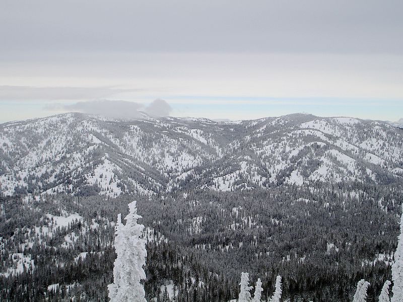
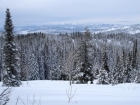
Me on the trail about half way there, view to the northeast.
|
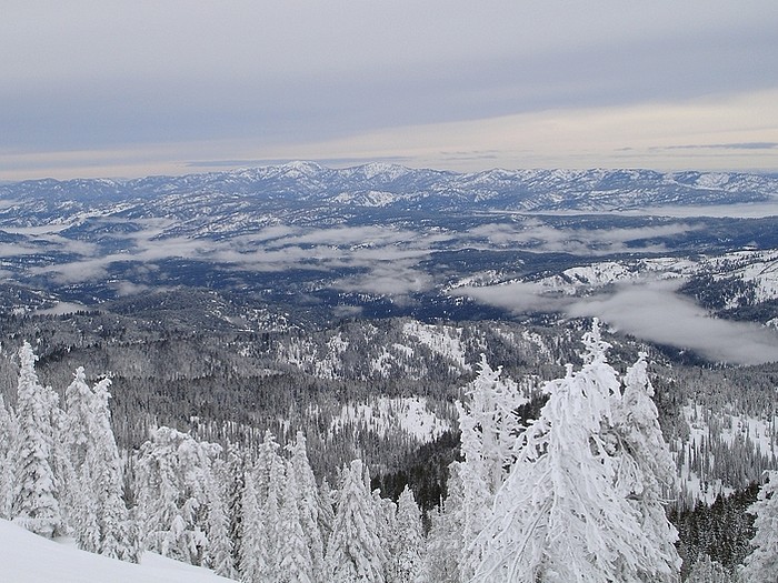
Looking south from the trail across the Boise Basin to Schafer Butte and Mores Mountain.
|
Trees near the summit barely able to stand up due to a rime ice buildup.
|
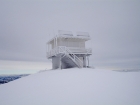
The frozen lookout building.
|
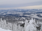
Summit view to the south across the Boise Basin with Schafer Butte and Mores Mountain in the distance.
|
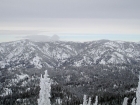
Freeman Peak and Pilot Peak, northwest of the summit.
|
|