|
Three Point Mountain is a nice short hike (just under 2 miles round trip) located in the Danskin Mountains, east of Boise. You can spot it pretty easily from the valley if you know what to look for, and it’s a short drive of thirty minutes or less from town. As Alanna and I drove up Blacks Creek Road, we could tell that the wildflowers were in full bloom, and sure enough, we saw close to a dozen different varieties during the hike.
To reach the trailhead, follow I84 east from Boise to Blacks Creek Road, then head north. Drive to "Blacks Creek Pass" (unmarked), and follow the steep trail heading west. Once you reach the top of the ridge, hang a left and head south crossing all three point of Three Point Mountain along the way. I think the highest point is the furthest one south, with a register to sign and some old toppled over triangulation apparatus. To return to the trailhead, either retrace your steps back to the saddle, or head cross-country back down to the road.

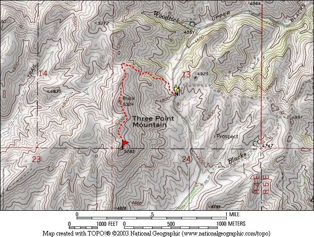
Map of the route, just over 2 miles round trip.
|
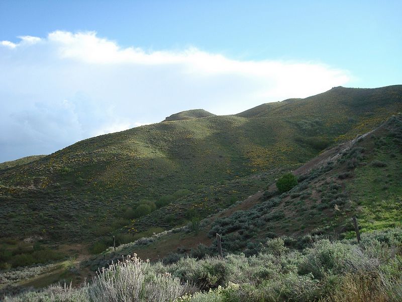
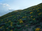
Three Point from the trailhead.
|

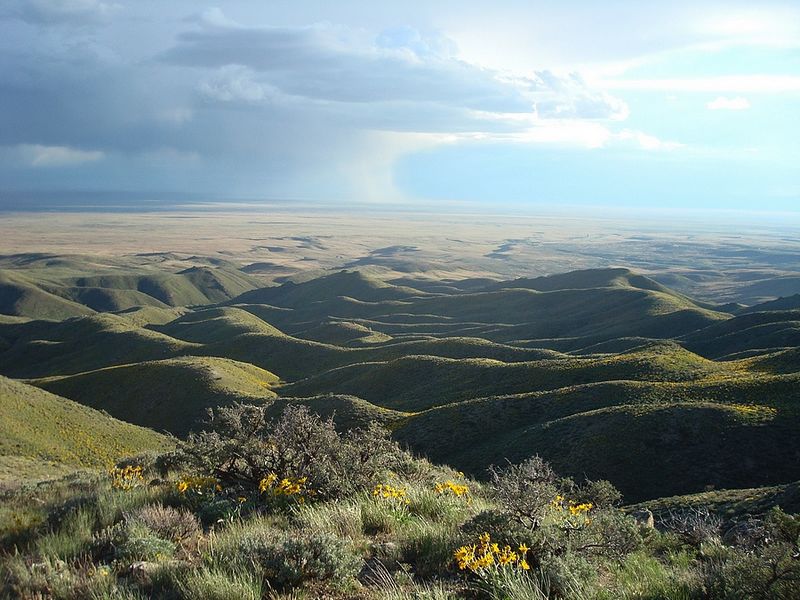
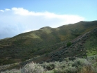
Rain clouds in the distance, from Point #1.
|
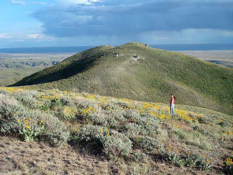
My wife on " the throne" near Point #2.
|
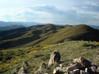
Checking out the view from Point #2.
|
Looking down into the Treasure Valley.
|
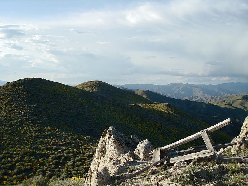
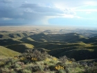
The view along the ridge towards Kepros Mountain, from Point #2.
|
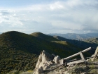
The old triangulation station on Point #3.
|
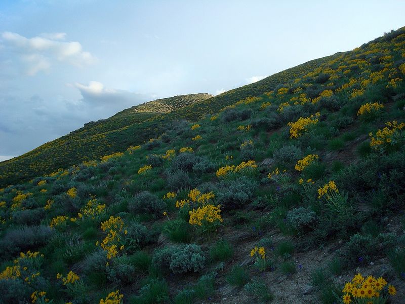
Fields of wildflowers on our way back down.
|
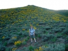
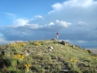
Me in a field of Arrowleaf Balsamroot.
|
|