|
Mount Heinen is located just north of Arrowrock Reservoir, and is one of the “Grand Slam Peaks” found near Boise. (The others being Kepros, Cervidae, and Lucky Peak.) Heinen is the most challenging of the four, and is a long hike on some pretty steep trail. I’d wanted to climb Heinen for a while now, but just hadn’t gotten to it. When I found out the day before that Nick was planning on doing this hike, I juggled my schedule a bit so I could join him, and he graciously agreed to modify his planned start time to accommodate me. The original plan was to get out early to beat the heat, but I had some other obligations that kept us from stating the hike until almost 11am, after a long bumpy ride to the Irish Creek trailhead.
Nick set a brisk pace up the lower slopes, and we made good time in spite of the steepness of the trail. I was huffing and puffing pretty good, but there was a nice breeze to keep us cool. There were tons of wildflowers along the way, dominated by Arrowleaf Balsamroots that are very plentiful this year. We were very pleased with our progress during the first hour, and figured we’d make pretty quick work of the peak. But that was before we started hitting all of the false summits. We followed an old overgrown firebreak along the ridge, and across numerous false summits. Up and down we went, with occasional views of the true highpoint off in the distance. After just over three hours, we finally reached the summit. The views were pretty good of the surrounding mountains, and we hung out for a while eating lunch and browsing through the summit register.
The hike back down was mostly uneventful other than one rattlesnake that crossed my path. We were able to find occasional trails to bypass a few of the bumps on the ridge, which was nice. But the going down the steep sections put a real pounding on our feet and knees. Still not a bad day all in all, and it was nice seeing some new terrain.
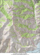
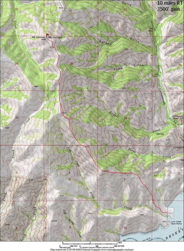
Overview map of the route, 10 miles round trip and 3500' total elevation gain
|
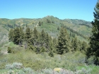
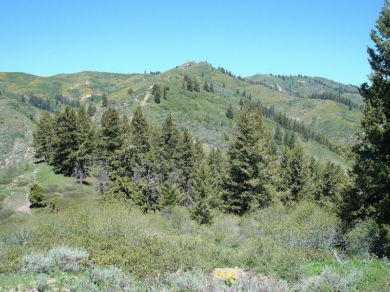
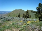
Looking up the ridge, with the summit way off in the distance.
|

Close-up of a couple of elk on the next ridge over.
|
Nearing the summit (finally).
|
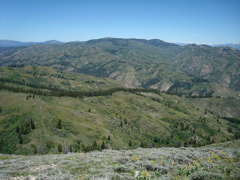
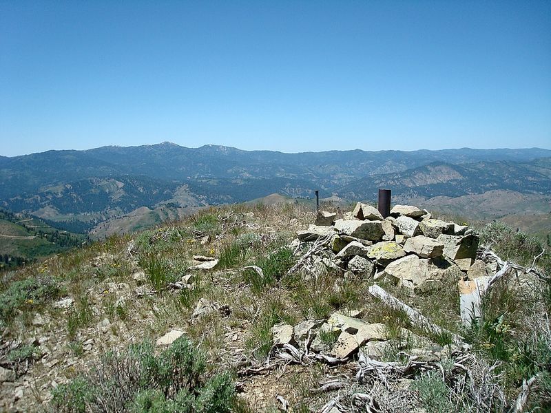
Summit view northeast towards Thorn Creek Butte.
|
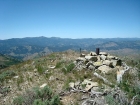
The view across the summit cairn with Shaffer Butte and Mores Mountain in the background.
|
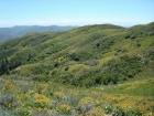
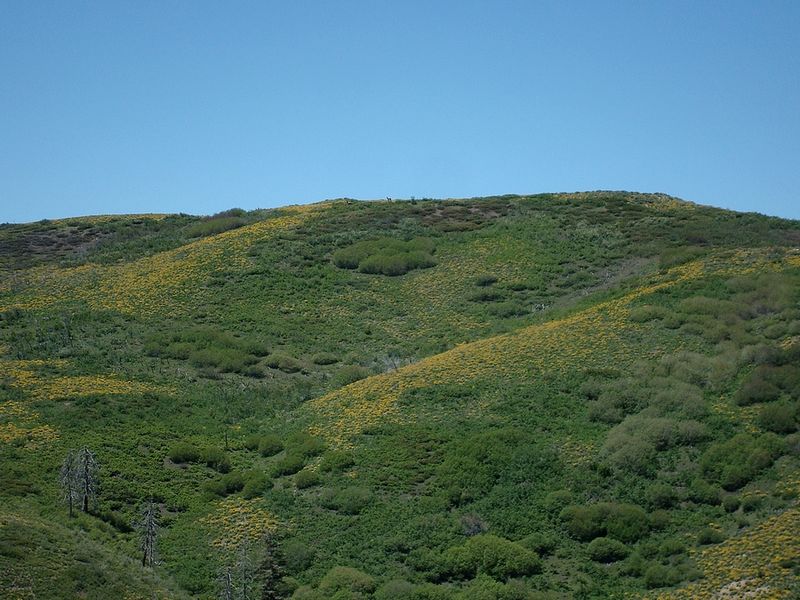
Lots of Arrowleaf Balsamroot flowers on the hillsides this year. Three Point and Kepros Mountains in the upper left.
|
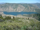
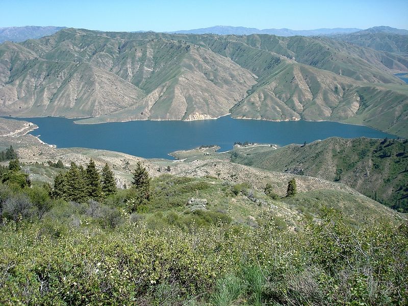
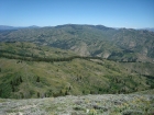
Looking down on the trailhead, next to Arrowrock Reservoir.
|
|