|
Boise Peak is located atop the Boise front, and is the highest summit on the ridge south of Schafer Butte. Looking up at it from Boise, its mostly tree covered other than a bald spot on the west side of the mountain. The rounded summit is forested and un-trailed, which is a rarity on the Boise ridge. The summit of the peak is seldom visited, but most who do make their way here probably come up 8th Street to the ridge road, then work their along past Eagleson Summit along the old road south of the peak. Instead of coming that direction, I went with the scenic route and hiked up the ridge road from Crooked Summit, located east of the peak.
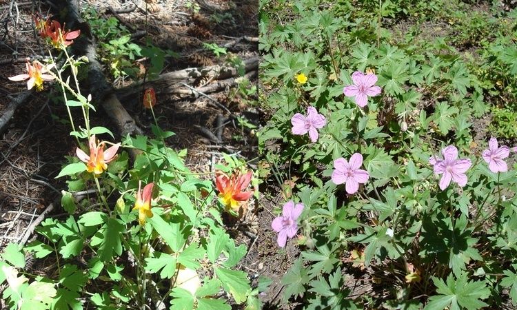
My folks live in Robie Creek, so it was a short drive up to Crooked Summit (high clearance recommended). I parked there then, went west up the ridge road. No one in their right mind would take a passenger car of any kind on this road, but less than a mile into the hike, a couple gals in a Subaru were driving down. It had to have been a rental car, because the "road" is really only suitable for dirt bikes, four-wheelers, or high clearance rock crawlers. It was a hot day, but fortunately there are just enough vegetation along the way to provide shade without blocking too much of the view. The highlight was the wildflowers along the way. The higher I got, the more dense they were. I saw at least a dozen types during the hike including Columbine, Paintbrush, Wild Roses, Sego Lilies, Scarlet Gilia, Sticky Geraniums, Larkspur, etc. The summit itself is anticlimactic, with no views because of the forest. I did see a quite a few elk tracks, a good sized red tailed hawk, and some stinging nettles, all right at the highpoint. I tried to make quick work of the hike back down, with only occasional stops to jump off the side of the trail to avoid dirt bikes.
The road/trail climbs steadily for the first 3 miles, then gets more gradual towards the top. Near the highpoint of the ridge road, there is another gated road (FS 263A) that heads north towards the summit. From the end of this overgrown road, its only a couple hundred yards of easy cross-country travel to reach the high point. The summit is rounded, un-marked, and there are no views from on top of the few micro-wave oven sized rocks located there.
Stats for the day:
8 miles
2000 feet elevation gain
2.5 hours (1:45 up, :45 down)
12+ types of wildflowers
5 groups of dirt bikes
1 messed up Subaru
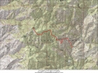
Overview map of the 8 mile round-trip route starting at Crooked Summit.
|
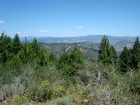
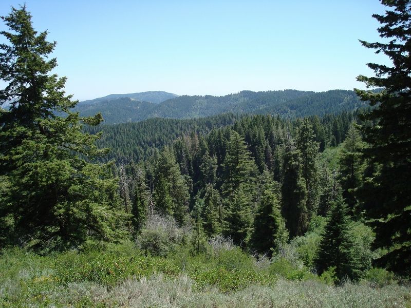
A view to the east during the hike. I think that’s Thorn Creek Butte on the left, with Mount Heinen to the right.
|
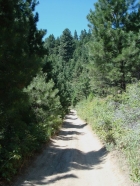
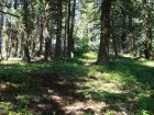
Typical view of the trail.
|
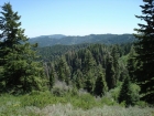
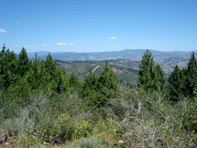
Looking south towards Lucky Peak from the trail.
|

A couple of the wildflowers I saw along the way, Columbine and Sticky Geranium.
|
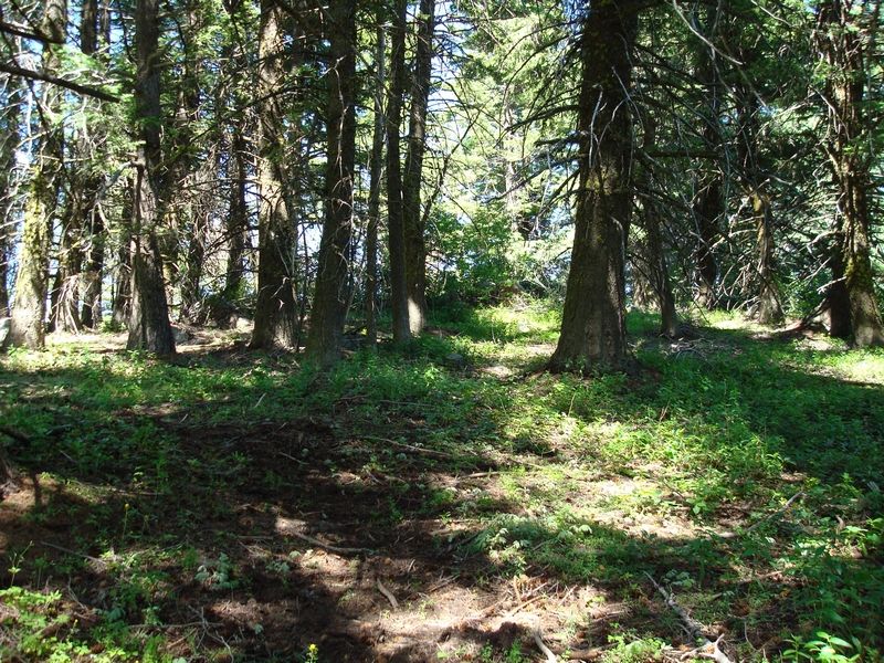
This is the summit. Watch out for stinging nettles just west of the high point.
|
|