|
The Danskin Mountains are the southeastern most sub-range of the Boise Mountains. Danskin Peak is the highpoint of the range, and is known to offer outstanding views of the surrounding terrain, including the Snake River Plane, South Fork Boise River Canyon, Trinity Mountains, etc. Late spring is the best time to visit, while the wildflowers are in bloom and the streams are still flowing.
I met up with Erik and Aaron for a 6am start so we could be home by early afternoon. The drive ended up taking two hours due to a muddy section of the road that took us a couple tries to get through. (This would have been a very bad place to get stuck, 15 miles off the pavement, and no cell phone coverage.) Eventually we stopped where we thought was due west of the peak and started hiking up the ridge. It felt good to be in the mountains, exploring a new area, but we were a little concerned with the clouds that were rolling in. Soon enough the fog engulfed us, and visibility was pretty minimal. After hiking for a while, we topped out on what we realized was Pt 6244’, which meant we’d started further northwest of the peak than planned. No worries though, we just dropped down the ridge to the saddle north of the peak and got ready to start climbing again.
The north side of the peak was still pretty snowy, and we debated for a while about whether or not to go straight up the ridge, or follow the winding road. We ended up taking the road, where the post-holing wasn’t quite as bad. After a while, Aaron opted to head back to the saddle since the fog prevented much in the way of views, and his feet were getting soaked due to lack of gaiters. Erik and I forged on to the summit, and took a quick break to inhale sandwiches before heading back down. During the decent, we spotted some bare ground to the northwest, and decided to head cross-country back to the saddle to meet Aaron. At this point the fog began to blow off, exposing some good views of the south fork canyon. After taking a few photos, we hit the trail and were able to explore a little on the way down, passing through some cool rock towers along the way while being circled by a pair of talkative Red-tailed Hawks.
Any day in the mountains is a good day in the mountains. Although it would have been nice if the fog had lifted so we could have enjoy the views. This trip was just enough to wet the appetite, and we all agreed that a return visit was a must.
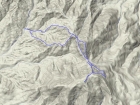
Overlay of our route, downloaded from Erik's GPS. A little over 5 miles and 2000' gain round trip.
|
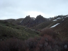
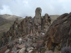
Rock towers near the start of the hike.
|

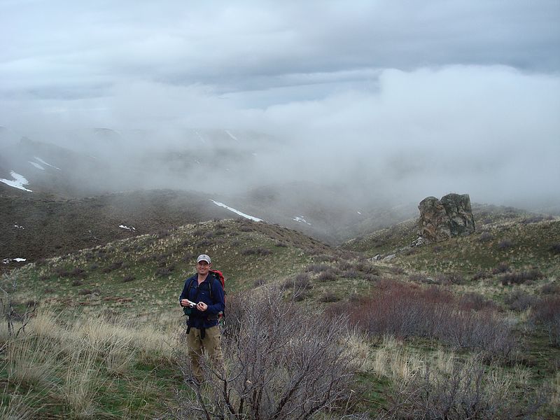
Erik and the clouds starting to roll in.
|

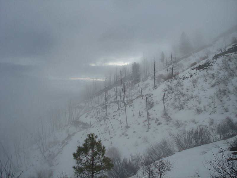
The sun trying to make an appearance.
|

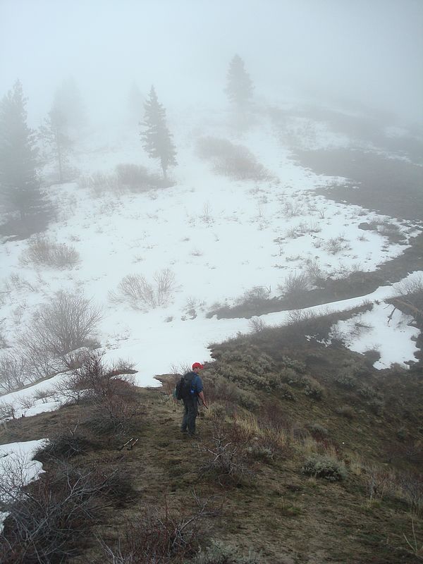
Aaron in search of photo ops.
|
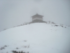
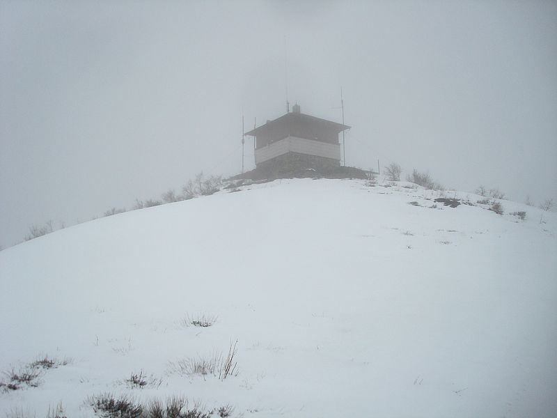
Not much in the way of views from the lookout today.
|

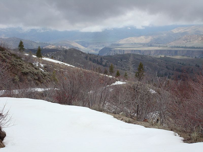
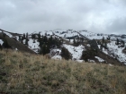
Looking down into the south fork canyon.
|
View toward the summit, still covered in clouds.
|
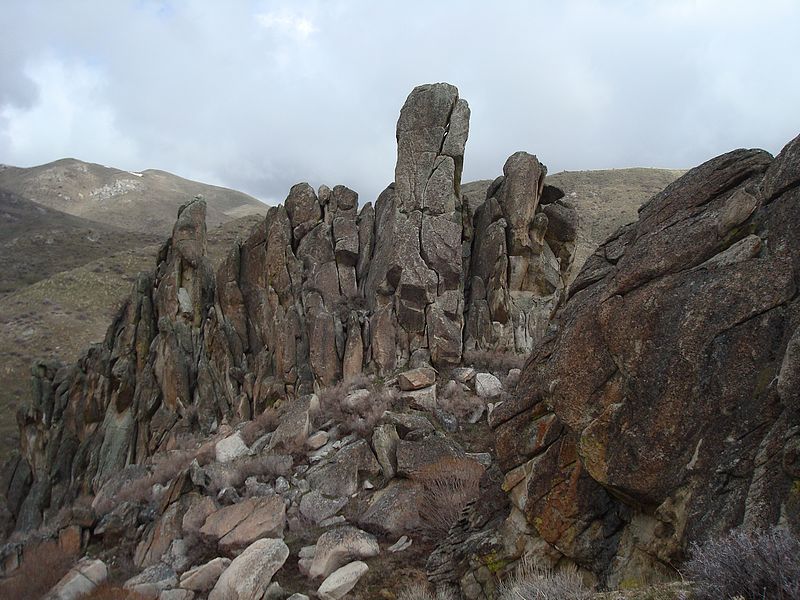
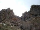
Some cool looking pillars.
|
Erik passing through the rocks on the way back down.
|
|