|
The weather on this December day was way too good not to be out hiking in the woods. To take advantage of the unseasonably dry conditions, my Dad and my oldest son joined me for a short hike not too far from my parents house. The destination would be "Upper Daggett Point", a small peak near Clear Creek Summit that I'd seen on Lists of John. The road from Robie Creek up to Crooked Summit is pretty rough (high clearance vehicle recommended), but the rest of the drive wasn't too bad. I actually really enjoy driving that road since it brings back a lot of old memories from the summer of 1978 when my Dad let me tag a long as he drove pick-up loads full of logs from the Harris Creek Summit area over to Robie Creek to be used to build our house with.
At the start of the hike, we followed a newly built road that heads southeast from Clear Creek Summit. After a couple hundred yards, there's an overgrown road heading south that we followed for the next half-mile. It was easy hiking in this section, with a nice gradual grade to the trail. We spent time looking at deer and elk tracks and talking about firewood cutting (one of my Dad's favorite topics). Once we got to a saddle on the trail, we took off into the woods for the last half-mile to the top of the mountain. The brush wasn't too thick at first, but that didn't stop my son from trying to negotiate with me that we should turn around and head home. (Okay, it was more like a temper tantrum than negotiations.) Luckily that ended after a tumultuous ten minutes, and we were off and running again. More like crawling really, the brush was pretty thick so it took us a while to wrestle our way up the hill through the buck brush. Eventually we reached the summit. Unfortunately, it was pretty anti-climactic since the brush made the views pretty-much non-existent. The GPS showed an elevation of 5157'. We didn't stay long, just long enough for my son to explain to me that next time I should bring the fish crackers with me in the backpack instead of leaving them and Grandma and Grandpa's. His mood was actually pretty good by this time, he was just making sure I understood so we didn't have this issue again next time (seriously).
Our return trip went quite a bit faster, since the brush is much easier to plow through when you're going downhill. Soon enough, we made our way back to the trail, then made good time the rest of the way back to the car. The destination itself wasn't too exciting, but I'd have a hard time coming up with two other people that I'd rather hike with. Next time we'll have to find something with a little less bushwhacking.
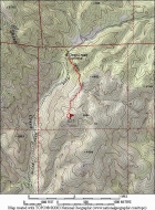
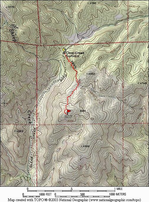
Map of the route, just over 2 miles and 450' elevation gain round trip. |
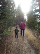
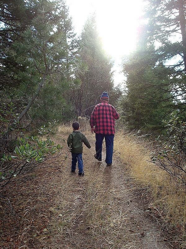
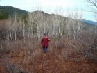
Hiking along the trail. |
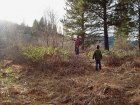
Trying to choose a route through the brush. |
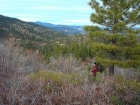
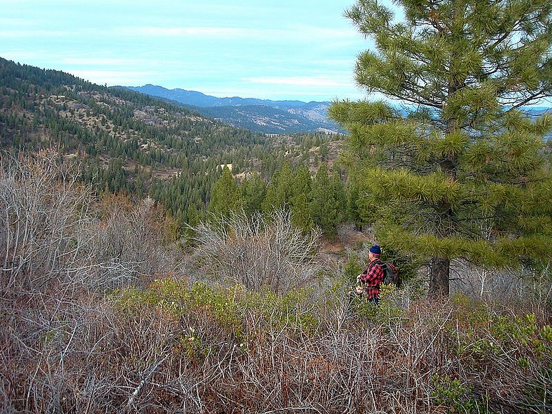
Stopping for a break in the brush, Schaffer Butte in the background. |
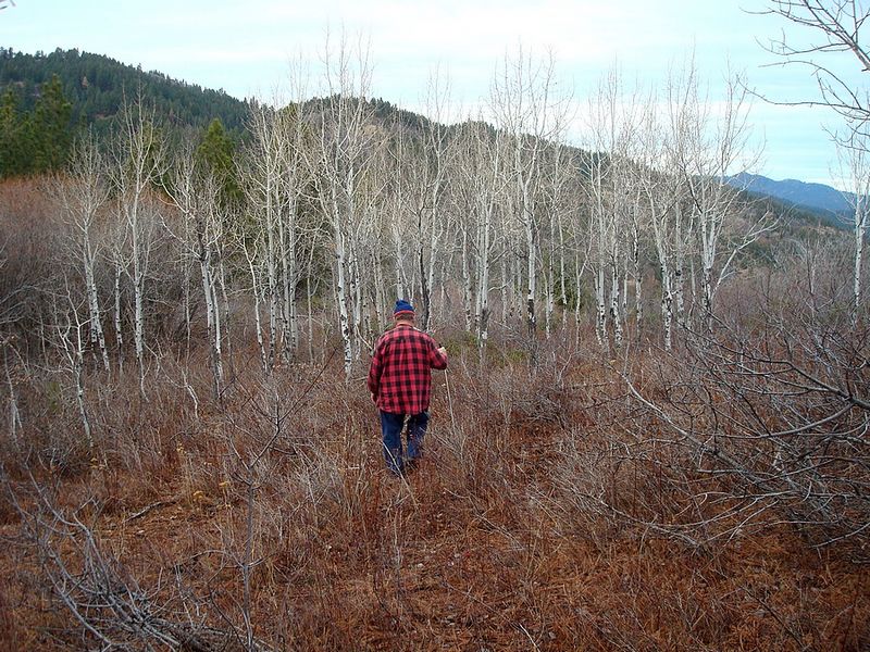
Dad entering an Aspen grove on the way back down. |
|