|
At 12,197 feet in elevation, Diamond Peak in the Lemhi Range is the fourth highest mountain in Idaho, and the tallest outside of the Lost River Range. JJ and I had be talking about a backpacking trip to the Lemhi's for quite some time, and this Spring I suggested that we also climb Diamond since we'd be in the area. I was pleasantly surprised that JJ, Jordan, and Ken were all agreeable to this plan.
We left Boise nearly on schedule, made it to the trailhead at around 10:30 am, and were out hiking shortly after that. There had been some concern about potential thunderstorms later in the afternoon, but things looked okay from the base of the peak. Early in the hike, we made our way up wildflower covered slopes toward a grassy ridgeline at just under 9400'. From here the sketchy trail got steeper, making its way through looser rock on our way to Diamond's steep east ridge. We took a snack break at around 10200', just before the Class 3 scrambling was to begin. We had a great view of the route from here and I was starting to get excited about the climb.
I'd heard that Diamond's east ridge was one of the most enjoyable climbs of all of Idaho's 12000 foot peaks, and it didn't disappoint. We pretty much stayed just to the north side of the ridge most of the way up, winding our way around obstacles. During the climb, we had great views of Bell Mountain to the north, and a gnarly peak called "The Riddler" to the south. It was a lot of fun. After resting on the summit for a while, it began to hail a little so we decided to head back down so we didn't become lightning rods. Ken was a natural at downclimbing and set a fast pace for us on the descent. After a while the clouds cleared and it was smooth sailing back to the truck. Other than climbing Borah when we were younger, this was the highest elevation Ken and I had been, and was the highest ever for JJ and Jordan. All in all, a very enjoyable and satisfying climb.

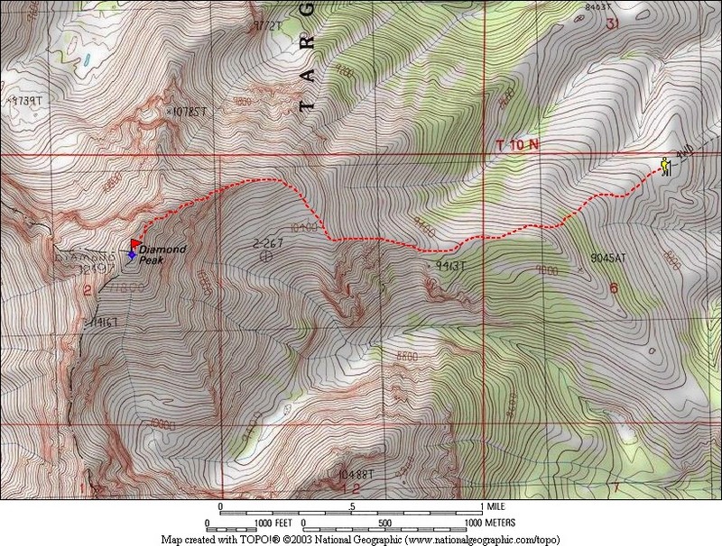
Map of the east ridge route, about 6 miles round trip with 4100' gain.
|
Jordan crossing the wildflower covered slopes early in the climb.
|
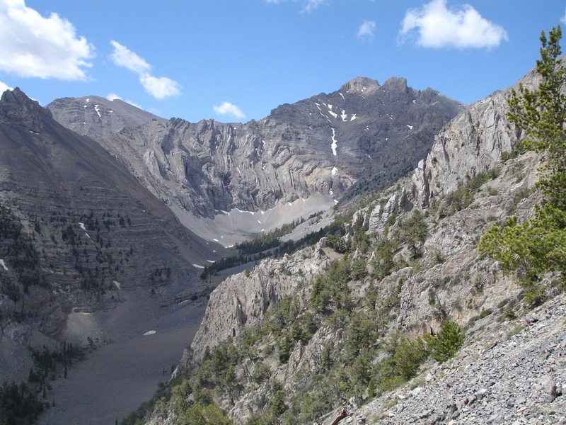
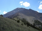
View of Diamond's east ridge from the low saddle.
|

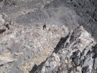
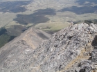
A complex peak called "The Riddler" lies south of Diamond.
|

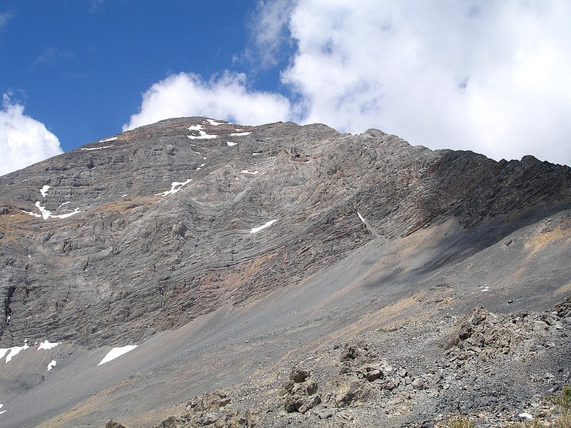
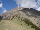
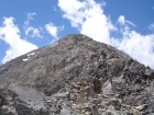
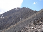
Looking up towards Diamond's summit.
|
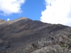
Heading towards the scramble section.
|
Ken and JJ making their way up the early rocky slopes.
|
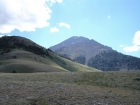
Bell Mountain, an impressive peak north of Diamond.
|
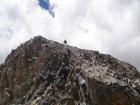
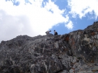
JJ, Jordan, and Ken making their way through some early class 3 scrambling.
|
Ken taking a rest and wondering just what has Dave gotten him in to.
|
Jordan climbing up a fun class 3 section.
|
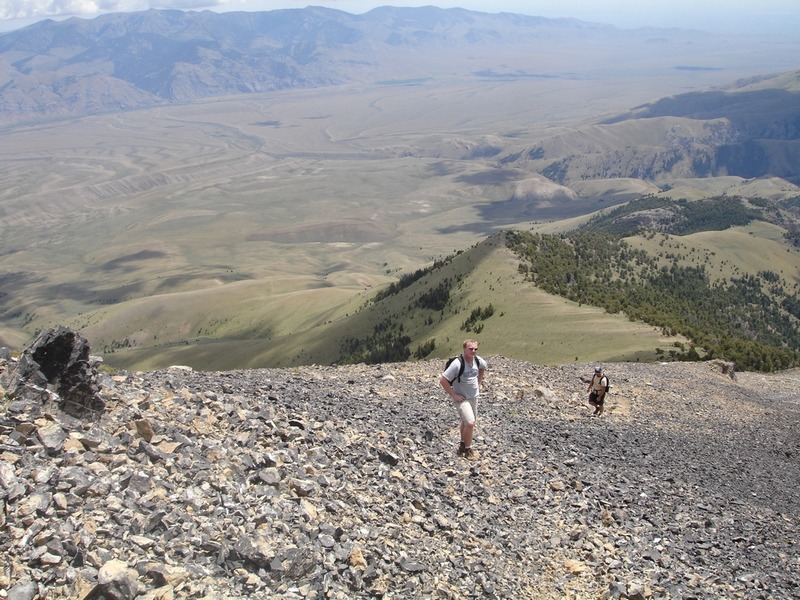
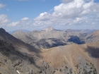
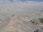
The east ridge from about half way up. This thing just keeps going and going.
|
Jordan and JJ taking a little break after making it up a steep section.
|
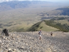
Ken taking a breather, just about there now…. Right?
|
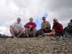
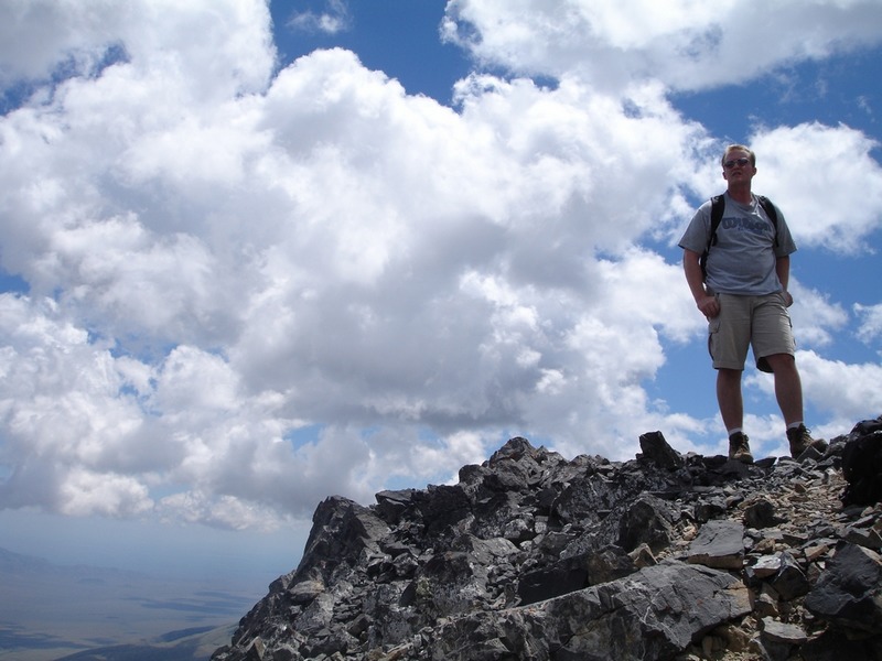
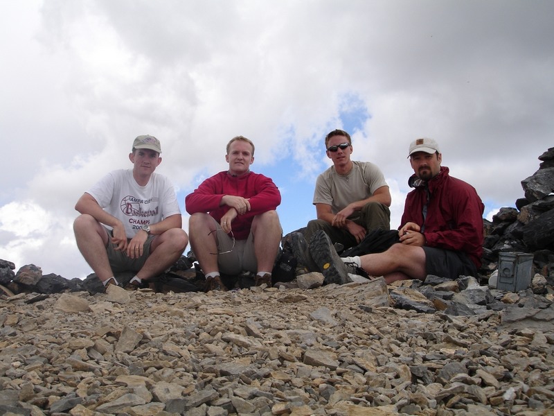
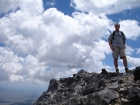
The four of us on the summit.
|
Ken was a regular mountain goat on the way back down.
|
Looking back up the east ridge during our descent.
|
Another view looking back, this time from just below the grassy saddle.
|
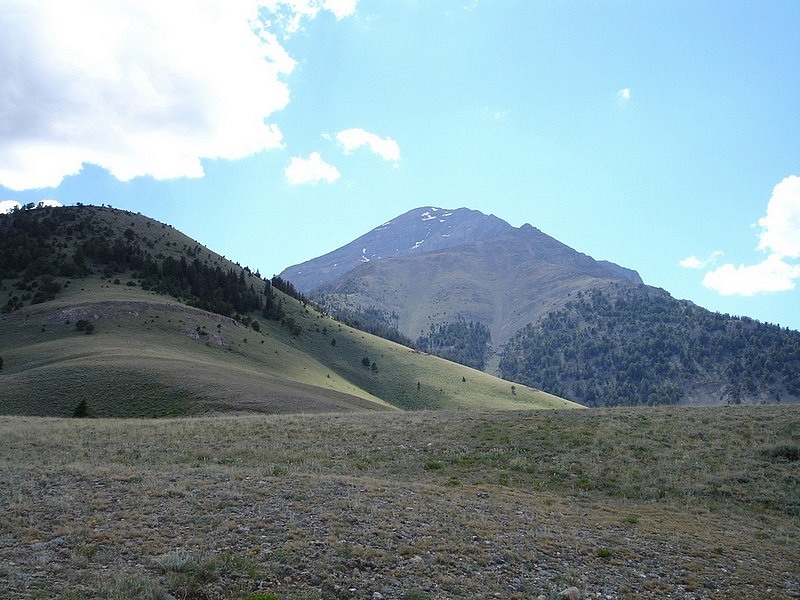
A view of Diamond Peak from near where we parked.
|
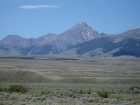
This photo taken from the highway shows a wider view of the peak.
|
|